Niger Plantation
Wood, Forest in Norfolk North Norfolk
England
Niger Plantation
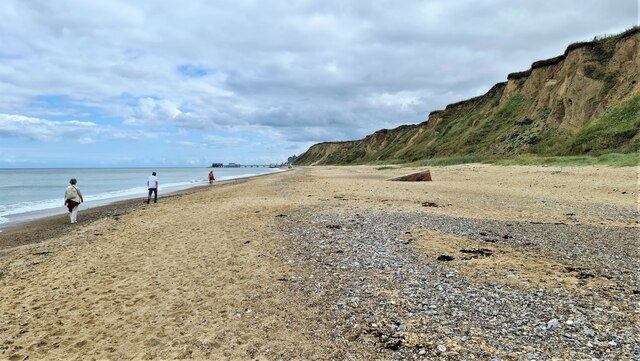
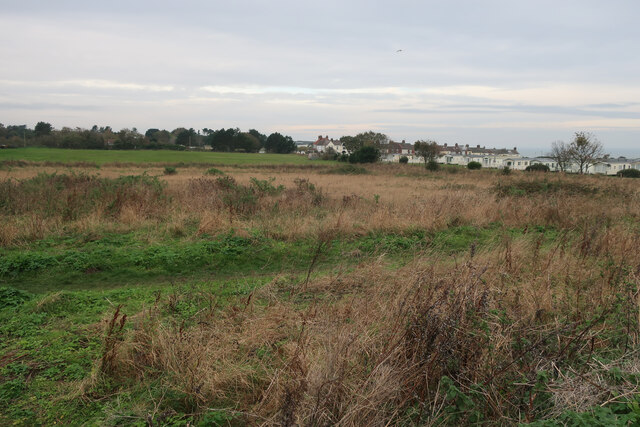
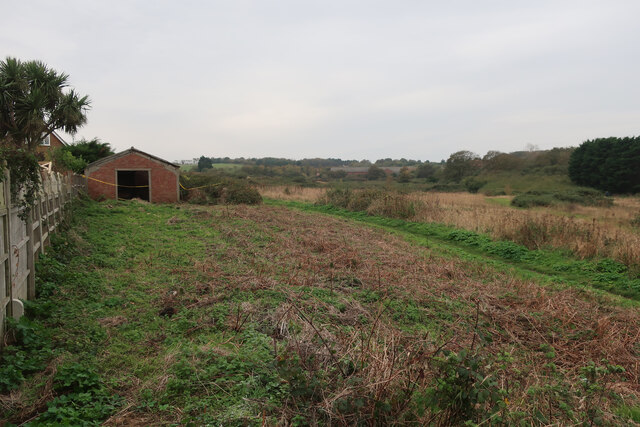
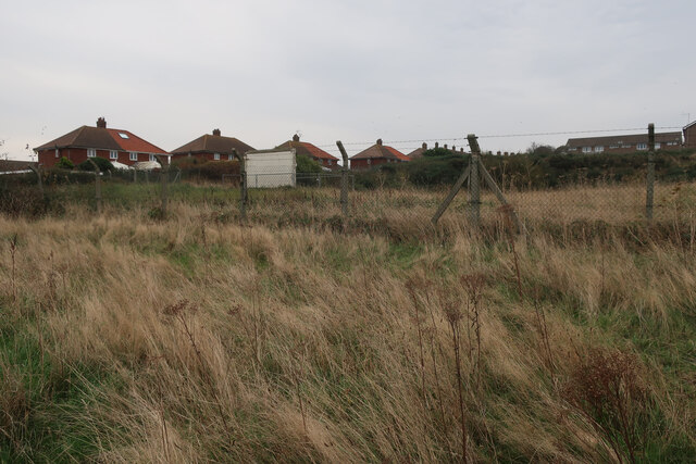
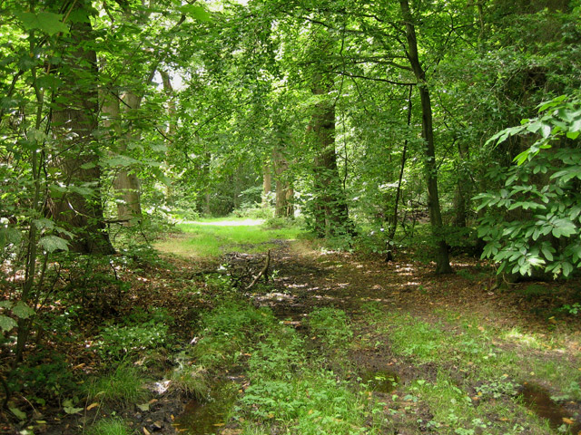
Niger Plantation, located in Norfolk, England, is a vast and historic woodland area known for its scenic beauty and rich biodiversity. Covering an area of approximately 500 acres, the plantation is predominantly composed of deciduous trees, creating a lush and diverse forest habitat.
The woodland at Niger Plantation is home to a wide range of plant and animal species, including oak, beech, and ash trees, as well as various wildflowers and ferns. The dense canopy provides shelter and nesting sites for numerous bird species, such as woodpeckers, owls, and warblers. Additionally, the plantation is known to support a healthy population of mammals, including deer, foxes, and badgers.
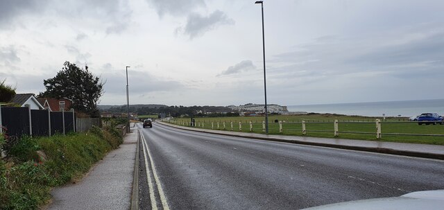
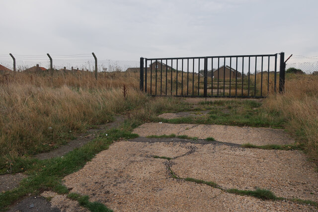
Visitors to Niger Plantation can enjoy a range of recreational activities in this serene natural setting. The plantation offers several well-maintained walking trails, allowing visitors to explore the woodland and appreciate its scenic beauty. These paths are also popular among joggers and dog walkers.
The plantation's management actively promotes sustainable forestry practices, ensuring the preservation of the woodland's ecological balance. Regular tree planting initiatives are carried out to maintain the plantation's diverse habitat and support local wildlife.
Niger Plantation is a cherished local asset and attracts nature enthusiasts, photographers, and families seeking a tranquil escape from the bustle of urban life. Its natural beauty, coupled with its commitment to conservation, makes it a beloved destination for both residents and visitors alike.
If you have any feedback on the listing, please let us know in the comments section below.
Niger Plantation Images
Images are sourced within 2km of 52.927055/1.2594672 or Grid Reference TG1941. Thanks to Geograph Open Source API. All images are credited.


Niger Plantation is located at Grid Ref: TG1941 (Lat: 52.927055, Lng: 1.2594672)
Administrative County: Norfolk
District: North Norfolk
Police Authority: Norfolk
What 3 Words
///pump.novel.passwords. Near Cromer, Norfolk
Nearby Locations
Related Wikis
Beacon Hill, Norfolk
Beacon Hill is the highest point in the English county of Norfolk. The hill is located 0.75 miles (1.2 km) south of the village of West Runton on the North...

Runton
Runton is a civil parish in the English county of Norfolk consisting of the villages of East Runton and West Runton. It covers an area of 5.44 km2 (2.10...

East Runton Windmill
East Runton Windmill is a grade II listed tower mill at East Runton, Norfolk, England which has been converted to residential accommodation. == History... ==

West Runton railway station
West Runton railway station is on the Bittern Line in Norfolk, England, serving the village of West Runton. It is 28 miles 55 chains (46.2 km) down the...

East Runton Cliffs
East Runton Cliffs is a 20.6-hectare (51-acre) geological Site of Special Scientific Interest west of Cromer in Norfolk. It is a Geological Conservation...
Felbrigg Woods
Felbrigg Woods is a 164.6-hectare (407-acre) biological Site of Special Scientific Interest south-west of Cromer in Norfolk. It is the main part of the...
West Runton
West Runton is a village in North Norfolk, England, on the North Sea coast. == Toponymy == The villages name means either, Runa's farm/settlement' or...

West Runton Mammoth
The West Runton Mammoth is a fossilized skeleton of a steppe mammoth (Mammuthus trogontherii) found in the cliffs of West Runton in the county of Norfolk...
Nearby Amenities
Located within 500m of 52.927055,1.2594672Have you been to Niger Plantation?
Leave your review of Niger Plantation below (or comments, questions and feedback).