Bishop's Hill

Hill, Mountain in Suffolk West Suffolk

England

Bishop's Hill

A11 towards London But no longer a continuous route with that number. Taking the A14 around Newmarket is the first interruption.
A11 towards London Credit: Robin Webster

Bishop's Hill is located in the county of Suffolk, England. It is a small hill situated in the eastern part of the county, near the village of East Bergholt. Despite its name, Bishop's Hill does not have a mountainous terrain, but rather a gentle slope that provides scenic views of the surrounding countryside.

The hill is known for its historical significance, dating back to the medieval period. It is named after the bishops of Norwich, who owned the land in the past. The area has been inhabited since ancient times, and evidence of human activity, including Roman pottery, has been found on the hill.

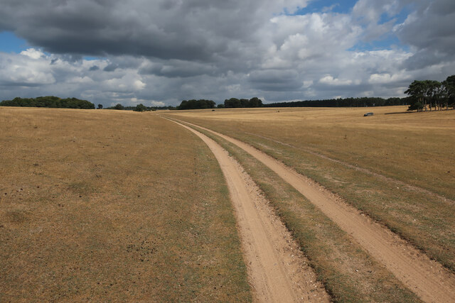
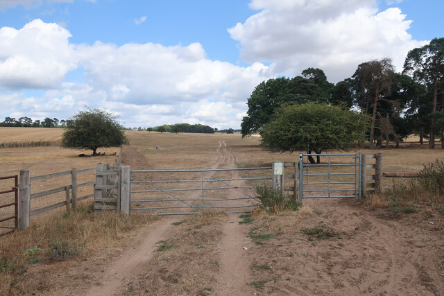
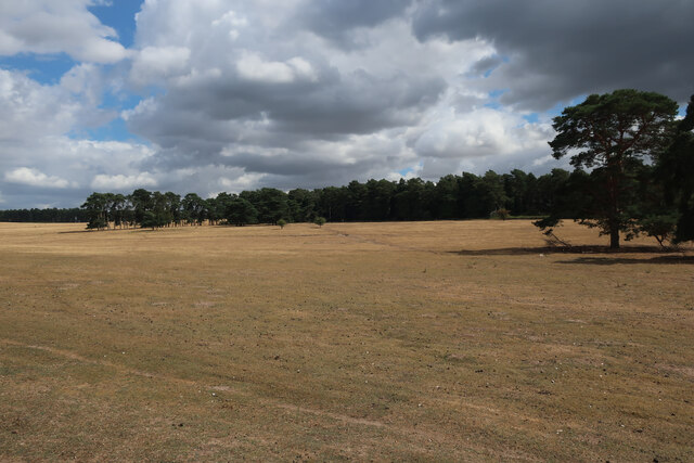
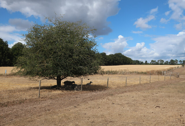
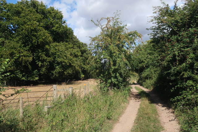
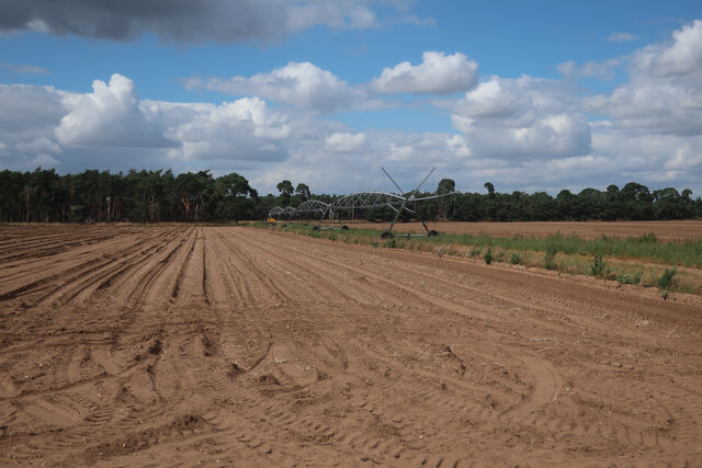
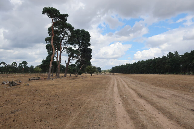
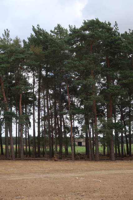
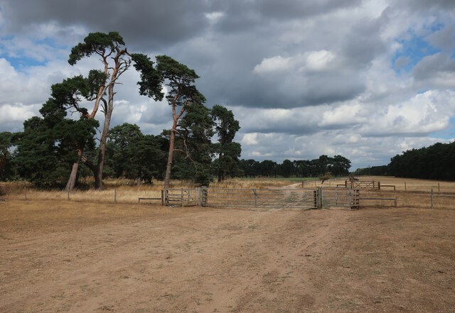
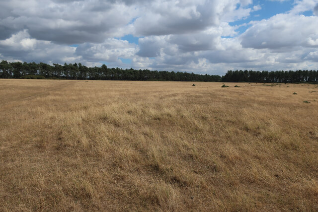
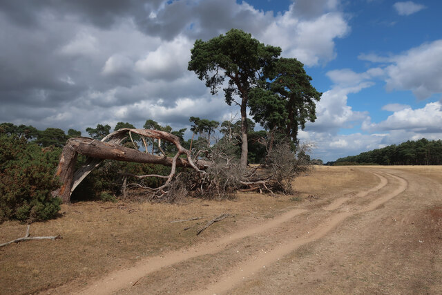
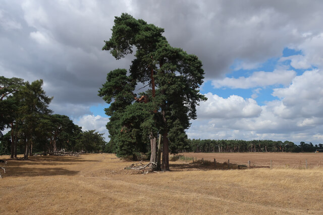
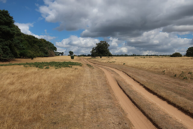
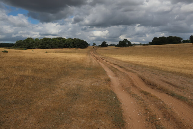
Bishop's Hill is a popular destination for locals and tourists alike, offering a tranquil and picturesque setting. The hill is surrounded by lush green fields and is covered in a variety of trees and wildflowers, making it an ideal spot for nature lovers. Visitors can enjoy walks and hikes along the hill, taking in the stunning vistas and breathing in the fresh country air.

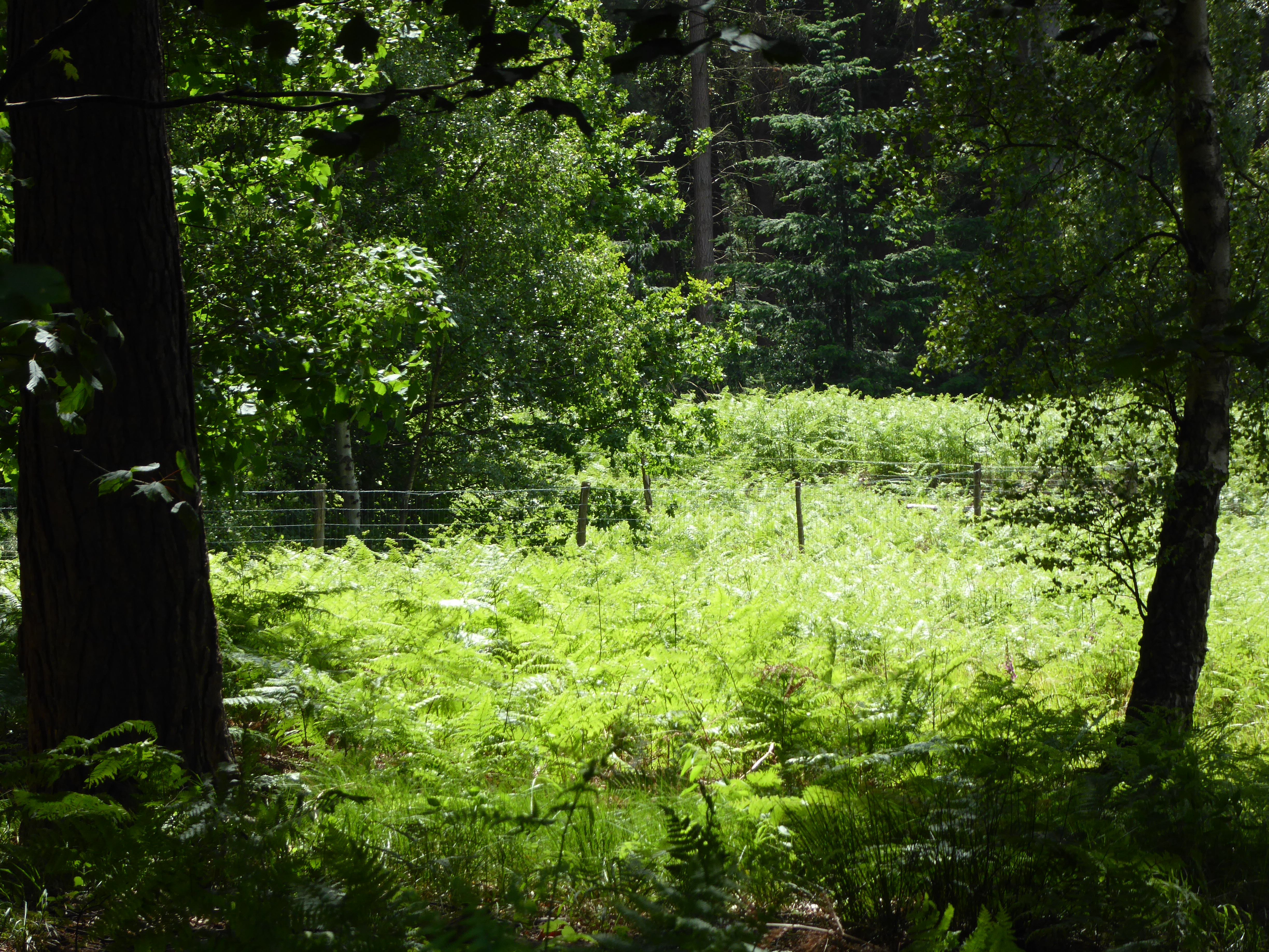
The hill is also home to a diverse range of wildlife, including various bird species and small mammals. It provides a habitat for rare plants and insects, making it an important ecological site in the region.

Overall, Bishop's Hill is a charming and historically significant location in Suffolk, offering visitors a chance to connect with nature and appreciate the beauty of the English countryside.

If you have any feedback on the listing, please let us know in the comments section below.

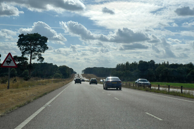
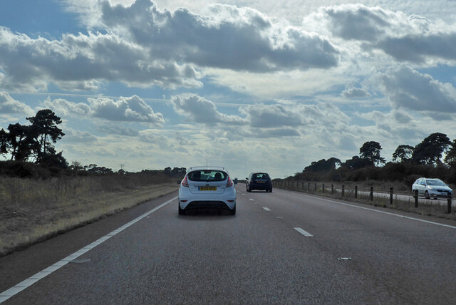
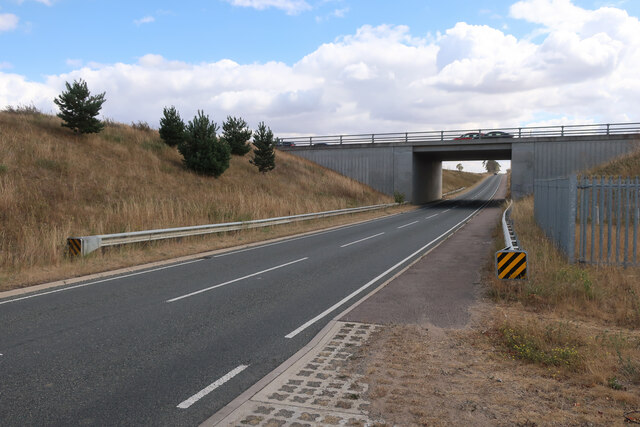
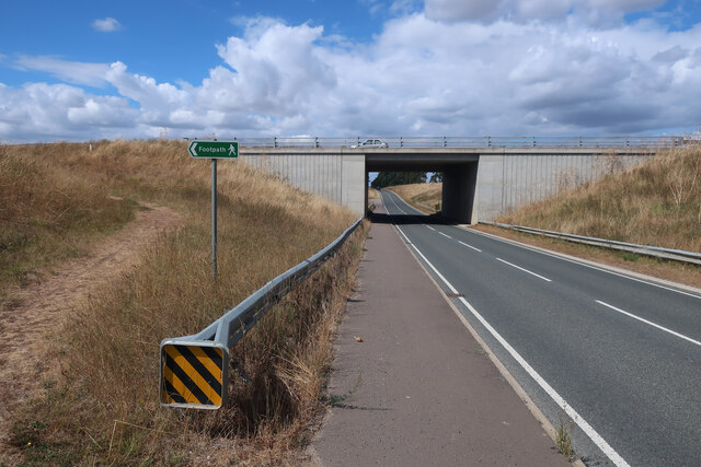
Bishop's Hill Images

Images are sourced within 2km of 52.347432/0.59030678 or Grid Reference TL7675. Thanks to Geograph Open Source API. All images are credited.

A11 towards London But no longer a continuous route with that number. Taking the A14 around Newmarket is the first interruption.
A11 towards London
But no longer a continuous route with that number. Taking the A14 around Newmarket is the first interruption.
A11 towards London But no longer a continuous route with that number. Taking the A14 around Newmarket is the first interruption.
A11 towards London
But no longer a continuous route with that number. Taking the A14 around Newmarket is the first interruption.
B1112 under A11 Previously a junction but that was removed when this section of the A11 was dualled, see <a href="https://www.geograph.org.uk/photo/1947215">TL7575 : Approaching the A11, B1112 junction</a>
B1112 under A11
Previously a junction but that was removed when this section of the A11 was dualled, see TL7575 : Approaching the A11, B1112 junction
B1112 under A11 Previously a junction but that was removed when this section of the A11 was dualled, see <a href="https://www.geograph.org.uk/photo/2716306">TL7575 : B1112 to Icklingham</a>. The footpath sign is to link the previous path crossing of the A11 to the underpass, see <a href="https://www.geograph.org.uk/photo/2717112">TL7475 : Tree Belt</a>
B1112 under A11
Previously a junction but that was removed when this section of the A11 was dualled, see TL7575 : B1112 to Icklingham. The footpath sign is to link the previous path crossing of the A11 to the underpass, see TL7475 : Tree Belt
Byway through Deadman's Grave Open access land, but closed except for the byway from the start of March to the end of October to protect rare and ground-nesting birds.
Byway through Deadman's Grave
Open access land, but closed except for the byway from the start of March to the end of October to protect rare and ground-nesting birds.
Byway onto Deadman's Grave
Deadman's Grave Grassy warren north of Icklingham. Open access land, but closed except for the byway from the start of March to the end of October to protect rare and ground-nesting birds.
Deadman's Grave
Grassy warren north of Icklingham. Open access land, but closed except for the byway from the start of March to the end of October to protect rare and ground-nesting birds.
Sheep in the shade Far from the hottest day of the summer but sufficient to send the sheep to seek shelter.
Sheep in the shade
Far from the hottest day of the summer but sufficient to send the sheep to seek shelter.
Byway from Icklingham
Irrigation boom by Seven Tree Road
Seven Tree Road from Deadman's Heath
Tree belt by Seven Tree Road
Seven Tree Road Byway leaving Deadman's Grave.
Seven Tree Road
Byway leaving Deadman's Grave.
Deadman's Grave Grassy warren north of Icklingham.
Deadman's Grave
Grassy warren north of Icklingham.
Byway across Deadman's Grave
Edge of Deadman's Grave Open access land, but closed except for the byway from the start of March to the end of October to protect rare and ground-nesting birds.
Edge of Deadman's Grave
Open access land, but closed except for the byway from the start of March to the end of October to protect rare and ground-nesting birds.
Byway across Deadman's Grave Open access land, but closed except for the byway from the start of March to the end of October to protect rare and ground-nesting birds.
Byway across Deadman's Grave
Open access land, but closed except for the byway from the start of March to the end of October to protect rare and ground-nesting birds.
Show me another place!

Bishop's Hill is located at Grid Ref: TL7675 (Lat: 52.347432, Lng: 0.59030678)

Administrative County: Suffolk

District: West Suffolk

Police Authority: Suffolk

What 3 Words

///forgotten.kick.detriment. Near Mildenhall, Suffolk

Related Wikis

Deadman's Grave, Icklingham

Deadman's Grave, Icklingham is a 127.3-hectare (315-acre) biological Site of Special Scientific Interest north-east of Icklingham in Suffolk. It is a Nature...

How Hill Track

How Hill Track is a 3.1-hectare (7.7-acre) biological Site of Special Scientific Interest east of Mildenhall in Suffolk. It is in the Breckland Special...

Cavenham–Icklingham Heaths

Cavenham–Icklingham Heaths is a 419 hectare biological Site of Special Scientific Interest west of Icklingham in Suffolk. It is a Nature Conservation Review...

All Saints' Church, Icklingham

All Saints' Church is a redundant Anglican church in the village of Icklingham, Suffolk, England. It is recorded in the National Heritage List for England...

Rex Graham nature reserve

Rex Graham Reserve is a 2.8-hectare (6.9-acre) biological Site of Special Scientific Interest east of Mildenhall in Suffolk. It is a Special Area of Conservation...

Weather and Horn Heaths, Eriswell

Weather and Horn Heaths, Eriswell is a 133.3-hectare (329-acre) biological Site of Special Scientific Interest east of Eriswell in Suffolk. It is a Nature...

Berner's Heath

Berner's Heath is a 236.9-hectare (585-acre) biological Site of Special Scientific Interest north-east of Icklingham in Suffolk. It is a Nature Conservation...

Foxhole Heath

Foxhole Heath is an 85.2-hectare (211-acre) biological Site of Special Scientific Interest east of Eriswell in Suffolk. It is a Nature Conservation Review...

Have you been to Bishop's Hill?

Leave your review of Bishop's Hill below (or comments, questions and feedback).