Bishop's Hill Wood
Wood, Forest in Suffolk West Suffolk
England
Bishop's Hill Wood
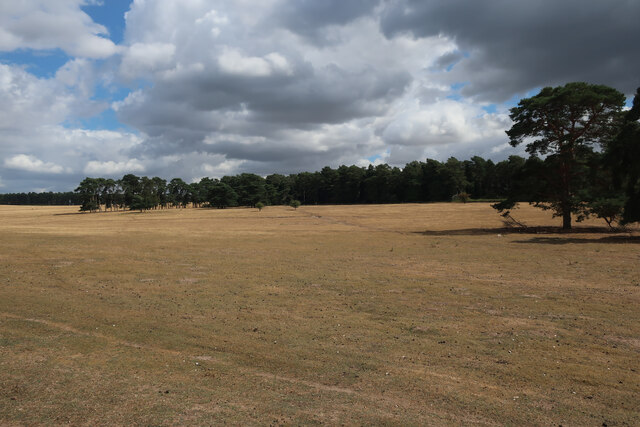
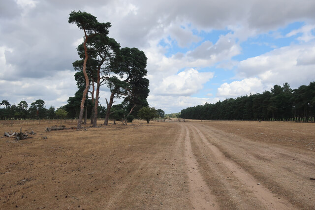
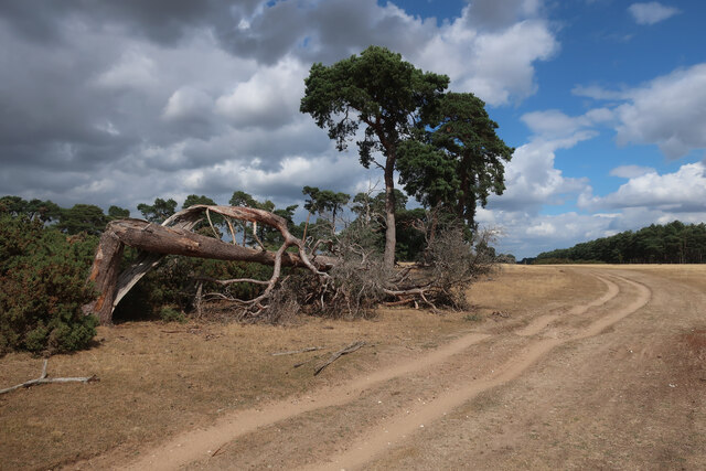
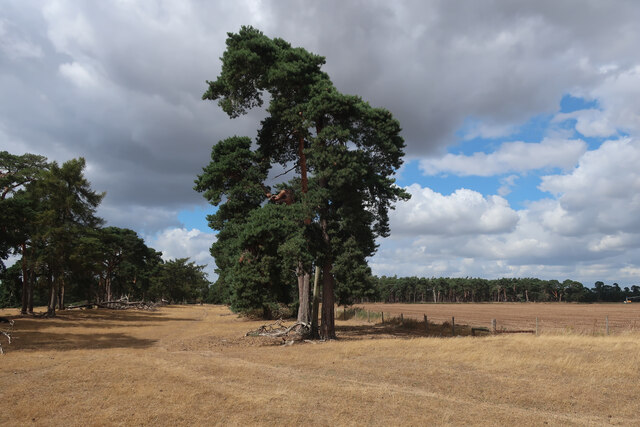
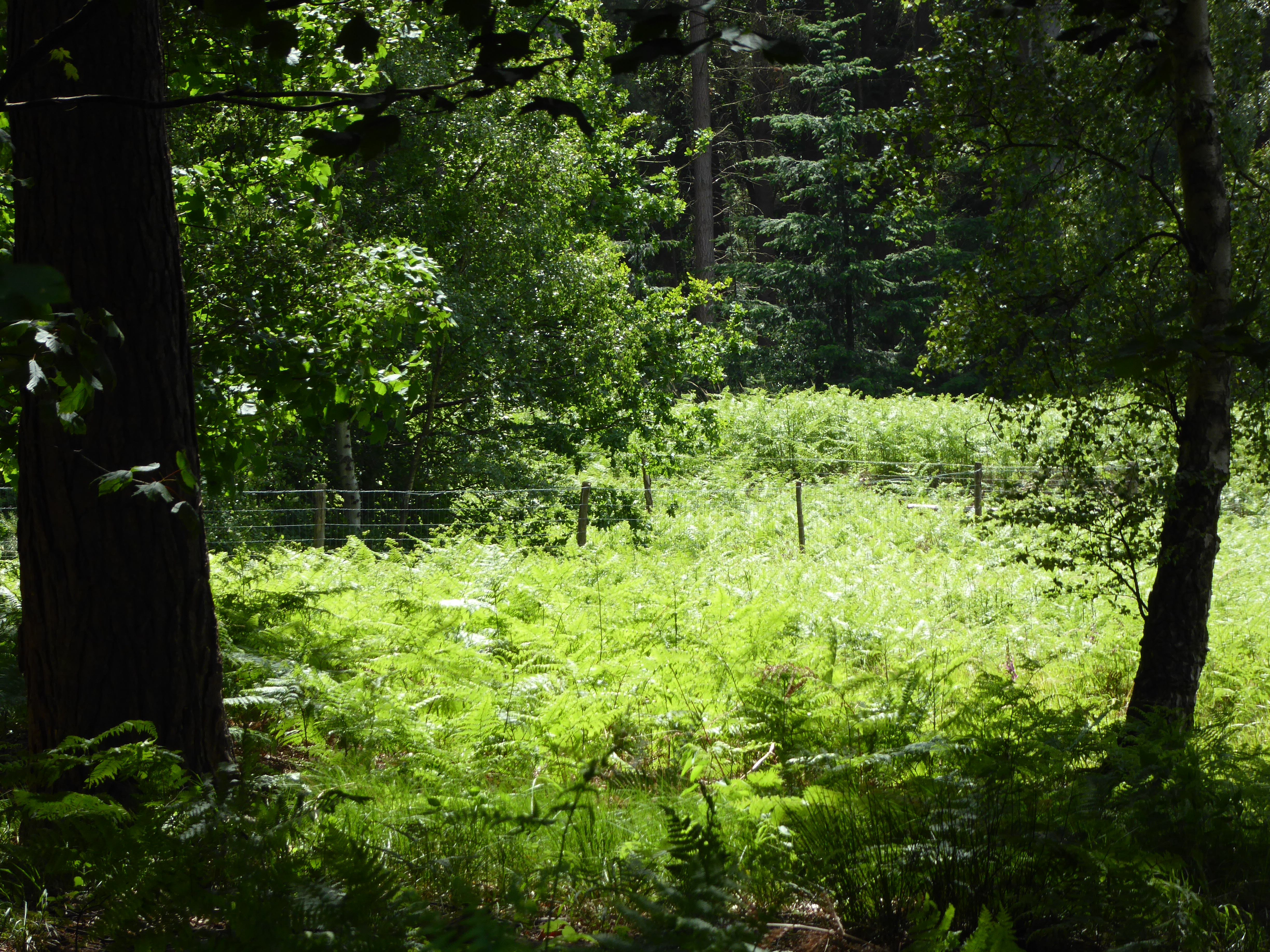
Bishop's Hill Wood is a charming woodland located in Suffolk, England. Nestled in the heart of the county, this serene forest spans an area of approximately 50 acres, making it an ideal destination for nature enthusiasts and those seeking tranquility amidst nature's embrace.
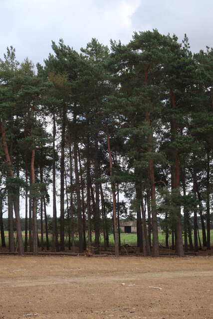
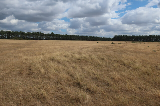
The wood boasts a diverse range of tree species, such as oak, ash, and beech, which contribute to its rich and vibrant ecosystem. Visitors can immerse themselves in the breathtaking beauty of the woodland, with its lush greenery and vibrant flora that changes with the seasons. In spring, the forest floor is carpeted with delicate bluebells, while autumn brings a stunning display of fiery reds and oranges.
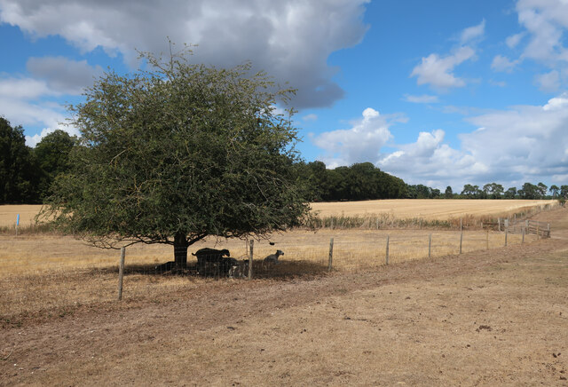
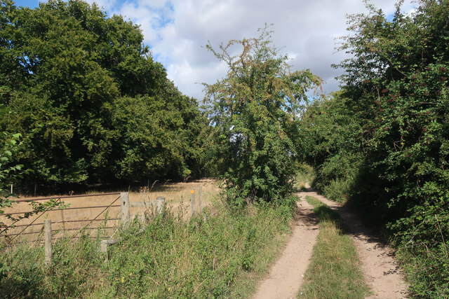
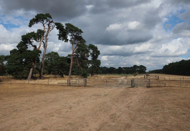
The woodland is crisscrossed with a network of well-maintained footpaths, allowing visitors to explore its hidden corners and discover its hidden treasures. As they wander through the woods, visitors may encounter an array of wildlife, including deer, foxes, and a variety of bird species. The tranquil atmosphere provides the perfect opportunity for birdwatching or simply enjoying the sounds of nature.
Bishop's Hill Wood's accessibility is enhanced by its proximity to nearby villages, making it a popular destination for both locals and tourists. The wood offers a peaceful retreat from the hustle and bustle of everyday life, providing a space for relaxation and contemplation. Whether it is a leisurely stroll, a picnic with loved ones, or a moment of solitude, Bishop's Hill Wood offers an idyllic escape into nature's embrace.
If you have any feedback on the listing, please let us know in the comments section below.
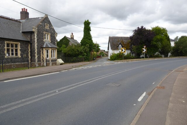
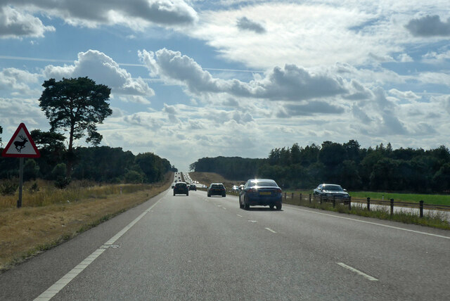
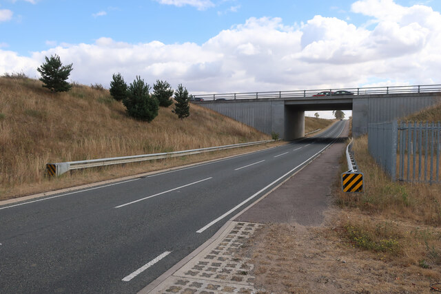
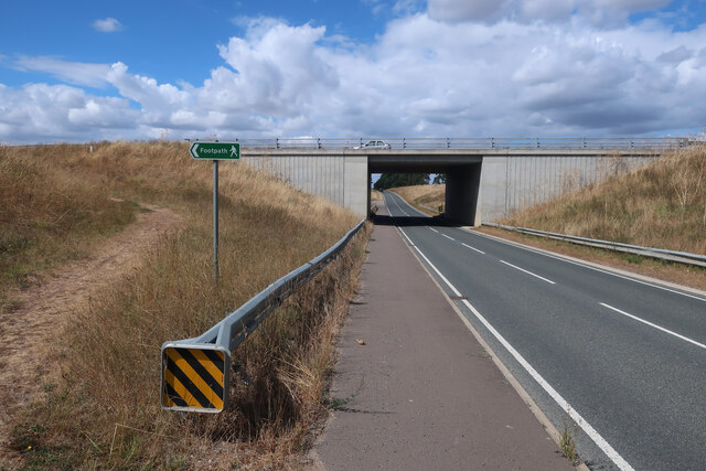
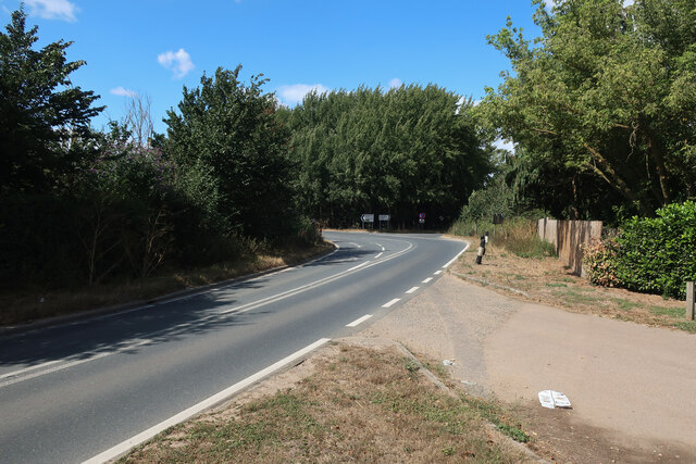
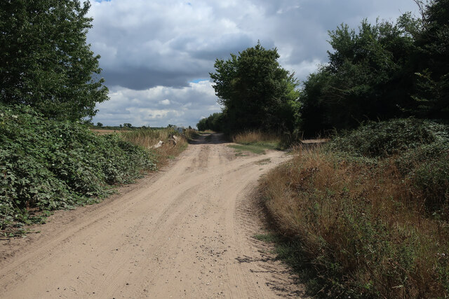
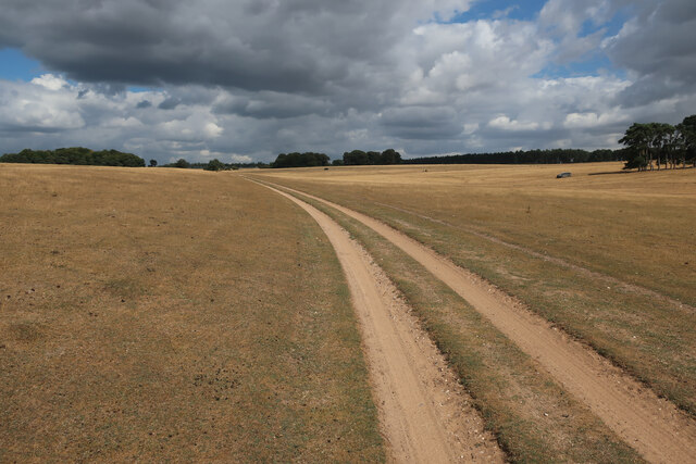
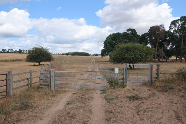
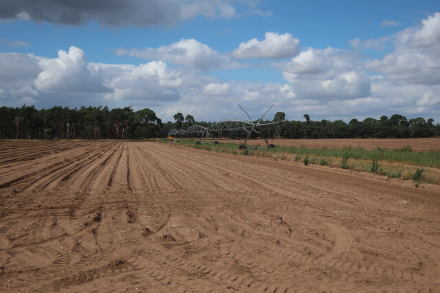
Bishop's Hill Wood Images
Images are sourced within 2km of 52.344893/0.58877814 or Grid Reference TL7675. Thanks to Geograph Open Source API. All images are credited.
Bishop's Hill Wood is located at Grid Ref: TL7675 (Lat: 52.344893, Lng: 0.58877814)
Administrative County: Suffolk
District: West Suffolk
Police Authority: Suffolk
What 3 Words
///butchers.cascaded.salutes. Near Mildenhall, Suffolk
Nearby Locations
Related Wikis

Deadman's Grave, Icklingham
Deadman's Grave, Icklingham is a 127.3-hectare (315-acre) biological Site of Special Scientific Interest north-east of Icklingham in Suffolk. It is a Nature...

How Hill Track
How Hill Track is a 3.1-hectare (7.7-acre) biological Site of Special Scientific Interest east of Mildenhall in Suffolk. It is in the Breckland Special...

Cavenham–Icklingham Heaths
Cavenham–Icklingham Heaths is a 419 hectare biological Site of Special Scientific Interest west of Icklingham in Suffolk. It is a Nature Conservation Review...

All Saints' Church, Icklingham
All Saints' Church is a redundant Anglican church in the village of Icklingham, Suffolk, England. It is recorded in the National Heritage List for England...
Rex Graham nature reserve
Rex Graham Reserve is a 2.8-hectare (6.9-acre) biological Site of Special Scientific Interest east of Mildenhall in Suffolk. It is a Special Area of Conservation...

Weather and Horn Heaths, Eriswell
Weather and Horn Heaths, Eriswell is a 133.3-hectare (329-acre) biological Site of Special Scientific Interest east of Eriswell in Suffolk. It is a Nature...

Foxhole Heath
Foxhole Heath is an 85.2-hectare (211-acre) biological Site of Special Scientific Interest east of Eriswell in Suffolk. It is a Nature Conservation Review...

Berner's Heath
Berner's Heath is a 236.9-hectare (585-acre) biological Site of Special Scientific Interest north-east of Icklingham in Suffolk. It is a Nature Conservation...
Nearby Amenities
Located within 500m of 52.344893,0.58877814Have you been to Bishop's Hill Wood?
Leave your review of Bishop's Hill Wood below (or comments, questions and feedback).