Ash Plantation

Wood, Forest in Suffolk West Suffolk

England

Ash Plantation

All Saints Church, Icklingham All Saints church is a medieval church dating from the 11th century, complete with a thatched roof.  Today this Grade I listed <span class="nowrap"><a title="https://historicengland.org.uk/listing/the-list/list-entry/1351332?section=official-list-entry" rel="nofollow ugc noopener" href="https://historicengland.org.uk/listing/the-list/list-entry/1351332?section=official-list-entry">Link</a><img style="margin-left:2px;" alt="External link" title="External link - shift click to open in new window" src="https://s1.geograph.org.uk/img/external.png" width="10" height="10"/></span> church is redundant and in the care of the Churches Conservation Trust.
All Saints Church, Icklingham Credit: Philip Halling

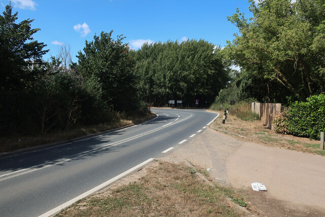
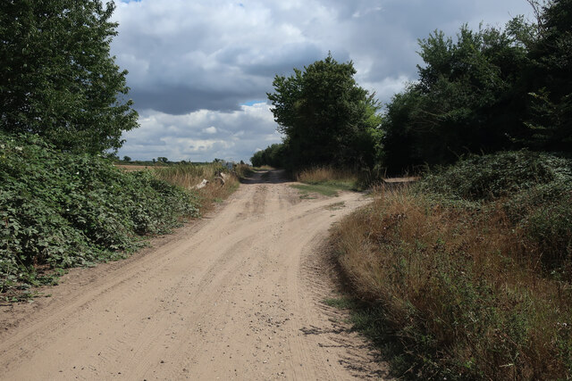
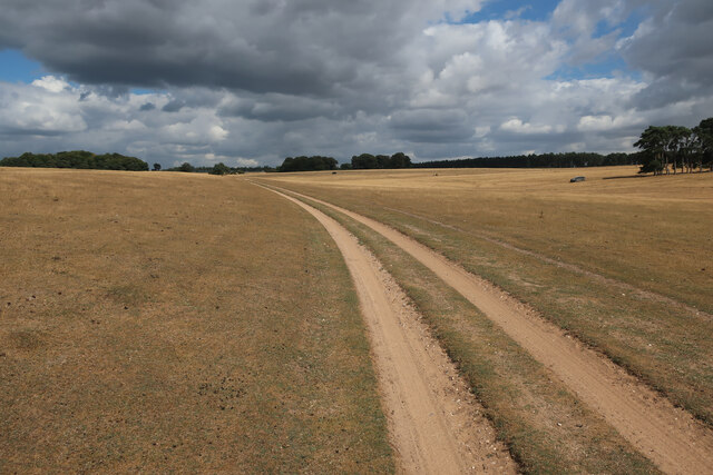
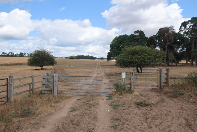
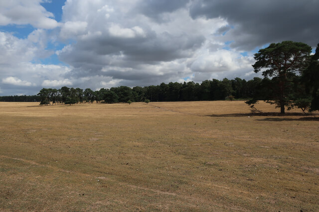
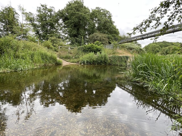
Ash Plantation is a picturesque woodland located in the county of Suffolk, England. Spanning over a vast area of approximately 100 hectares, the plantation is predominantly composed of ash trees, which give it its distinctive name. It forms part of the larger Suffolk countryside and is a popular destination for nature enthusiasts, hikers, and birdwatchers.

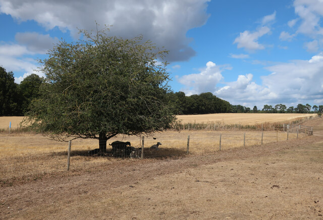
The plantation features a diverse range of flora and fauna, with an abundance of wildlife inhabiting the area. Visitors can expect to encounter various species of birds, including woodpeckers, owls, and finches, as well as small mammals like rabbits and squirrels. The tranquil atmosphere of the woodland provides a perfect setting for observing and appreciating nature.

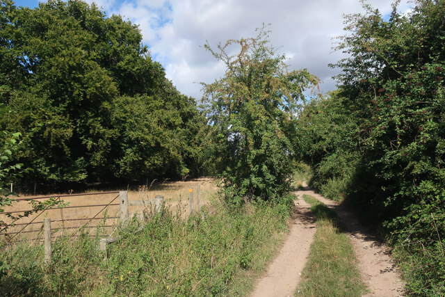
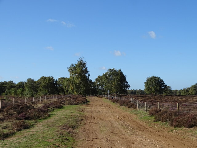
The woodland is crisscrossed by a network of well-maintained walking trails, allowing visitors to explore the area at their own pace. The trails meander through the plantation, offering stunning views of the surrounding countryside and providing an opportunity to immerse oneself in the serene beauty of the woodland.

Ash Plantation is also home to a rich variety of plant species, including wildflowers, ferns, and mosses, which thrive in the damp and shaded environment. In spring and summer, the woodland bursts into a riot of colors, with vibrant blooms adorning the forest floor.

The plantation is easily accessible, with ample parking facilities available for visitors. It is managed by the local forestry commission, ensuring its preservation and upkeep for future generations to enjoy. Ash Plantation is a haven for nature lovers, offering a peaceful retreat from the hustle and bustle of everyday life.

If you have any feedback on the listing, please let us know in the comments section below.

Ash Plantation Images

Images are sourced within 2km of 52.322001/0.58741186 or Grid Reference TL7672. Thanks to Geograph Open Source API. All images are credited.

All Saints Church, Icklingham All Saints church is a medieval church dating from the 11th century, complete with a thatched roof.  Today this Grade I listed <span class="nowrap"><a title="https://historicengland.org.uk/listing/the-list/list-entry/1351332?section=official-list-entry" rel="nofollow ugc noopener" href="https://historicengland.org.uk/listing/the-list/list-entry/1351332?section=official-list-entry">Link</a><img style="margin-left:2px;" alt="External link" title="External link - shift click to open in new window" src="https://s1.geograph.org.uk/img/external.png" width="10" height="10"/></span> church is redundant and in the care of the Churches Conservation Trust.
All Saints Church, Icklingham
All Saints church is a medieval church dating from the 11th century, complete with a thatched roof. Today this Grade I listed LinkExternal link church is redundant and in the care of the Churches Conservation Trust.
Thatched cottage in Icklingham This thatched cottage is situated opposite All Saints church.
Thatched cottage in Icklingham
This thatched cottage is situated opposite All Saints church.
Village of Icklingham The village sign on the A1011 entering the village of Icklingham.
Village of Icklingham
The village sign on the A1011 entering the village of Icklingham.
Interior of All Saints church The interior of All Saints church, a medieval church dating from the 11th century.  Today this Grade I listed <span class="nowrap"><a title="https://historicengland.org.uk/listing/the-list/list-entry/1351332?section=official-list-entry" rel="nofollow ugc noopener" href="https://historicengland.org.uk/listing/the-list/list-entry/1351332?section=official-list-entry">Link</a><img style="margin-left:2px;" alt="External link" title="External link - shift click to open in new window" src="https://s1.geograph.org.uk/img/external.png" width="10" height="10"/></span> church is redundant and in the care of the Churches Conservation Trust.
Interior of All Saints church
The interior of All Saints church, a medieval church dating from the 11th century. Today this Grade I listed LinkExternal link church is redundant and in the care of the Churches Conservation Trust.
All Saints Church, Icklingham All Saints church is a medieval church dating from the 11th century, complete with a thatched roof.  Today this Grade I listed <span class="nowrap"><a title="https://historicengland.org.uk/listing/the-list/list-entry/1351332?section=official-list-entry" rel="nofollow ugc noopener" href="https://historicengland.org.uk/listing/the-list/list-entry/1351332?section=official-list-entry">Link</a><img style="margin-left:2px;" alt="External link" title="External link - shift click to open in new window" src="https://s1.geograph.org.uk/img/external.png" width="10" height="10"/></span> church is redundant and in the care of the Churches Conservation Trust.  Here the church is viewed from the north.
All Saints Church, Icklingham
All Saints church is a medieval church dating from the 11th century, complete with a thatched roof. Today this Grade I listed LinkExternal link church is redundant and in the care of the Churches Conservation Trust. Here the church is viewed from the north.
Medieval stained glass Medieval 14th century stained glass in All Saints Church, Icklingham.
Medieval stained glass
Medieval 14th century stained glass in All Saints Church, Icklingham.
Church of St James, Icklingham The church of St James is medieval and restored in the 19th century.  The church is Grade II* listed, see: <span class="nowrap"><a title="https://historicengland.org.uk/listing/the-list/list-entry/1037582?section=official-list-entry" rel="nofollow ugc noopener" href="https://historicengland.org.uk/listing/the-list/list-entry/1037582?section=official-list-entry">Link</a><img style="margin-left:2px;" alt="External link" title="External link - shift click to open in new window" src="https://s1.geograph.org.uk/img/external.png" width="10" height="10"/></span>
Church of St James, Icklingham
The church of St James is medieval and restored in the 19th century. The church is Grade II* listed, see: LinkExternal link
Houses in Icklingham Houses on the A1011 in the village of Icklingham.
Houses in Icklingham
Houses on the A1011 in the village of Icklingham.
A1101 out of Icklingham
Byway by Icklingham
Byway by Icklingham
Byway through Deadman's Grave Open access land, but closed except for the byway from the start of March to the end of October to protect rare and ground-nesting birds.
Byway through Deadman's Grave
Open access land, but closed except for the byway from the start of March to the end of October to protect rare and ground-nesting birds.
Byway onto Deadman's Grave
Deadman's Grave Grassy warren north of Icklingham. Open access land, but closed except for the byway from the start of March to the end of October to protect rare and ground-nesting birds.
Deadman's Grave
Grassy warren north of Icklingham. Open access land, but closed except for the byway from the start of March to the end of October to protect rare and ground-nesting birds.
Sheep in the shade Far from the hottest day of the summer but sufficient to send the sheep to seek shelter.
Sheep in the shade
Far from the hottest day of the summer but sufficient to send the sheep to seek shelter.
Byway from Icklingham
Icknield Way
Icknield Way
Temple Bridge Ford This ford is found at Temple Bridge on the River Lark.
Temple Bridge Ford
This ford is found at Temple Bridge on the River Lark.
Church of St James, Icklingham
Show me another place!

Ash Plantation is located at Grid Ref: TL7672 (Lat: 52.322001, Lng: 0.58741186)

Administrative County: Suffolk

District: West Suffolk

Police Authority: Suffolk

What 3 Words

///spot.code.sunflower. Near Mildenhall, Suffolk

Related Wikis

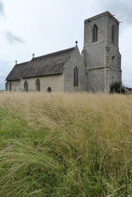
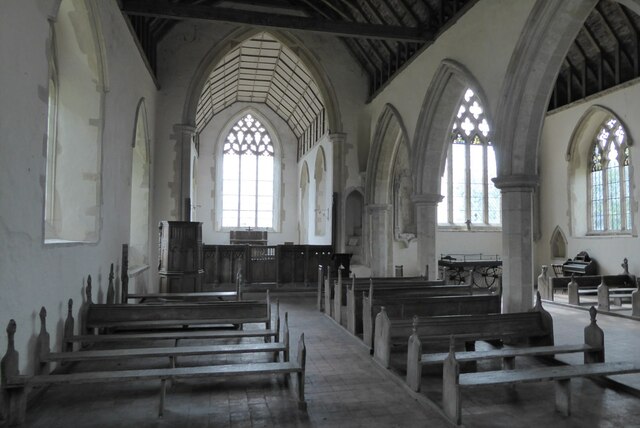
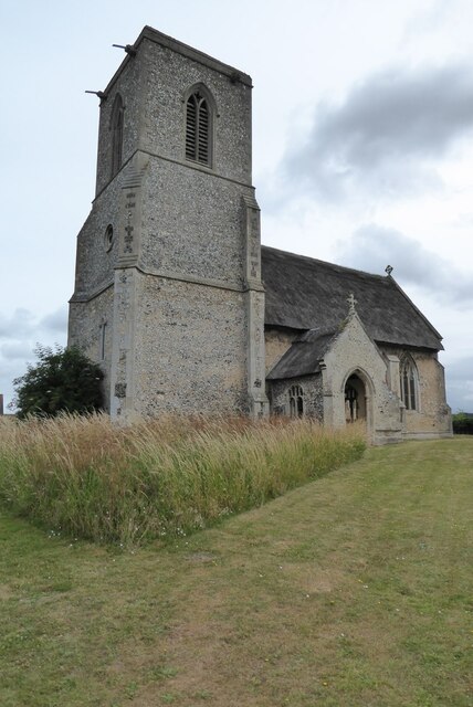
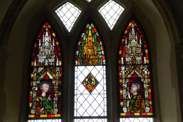
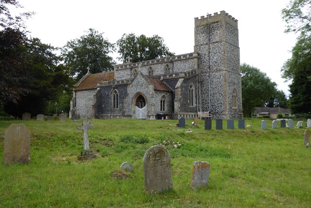
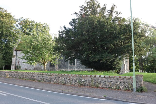
All Saints' Church, Icklingham

All Saints' Church is a redundant Anglican church in the village of Icklingham, Suffolk, England. It is recorded in the National Heritage List for England...
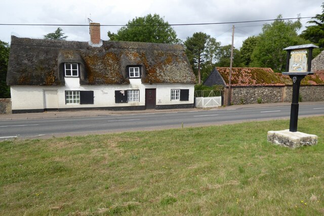
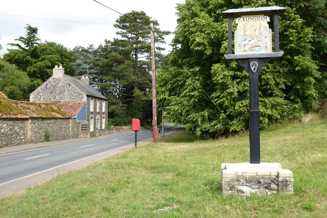
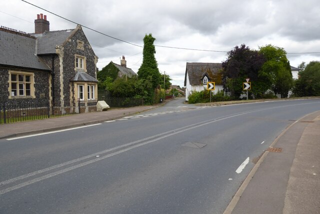
Icklingham

Icklingham is a village and civil parish in the West Suffolk district of Suffolk in eastern England. It is located about 7 miles (11 km) north-west of...

Cavenham–Icklingham Heaths

Cavenham–Icklingham Heaths is a 419 hectare biological Site of Special Scientific Interest west of Icklingham in Suffolk. It is a Nature Conservation Review...

RAF Tuddenham

Royal Air Force Tuddenham or RAF Tuddenham is a former Royal Air Force station located 3.2 miles (5.1 km) south east of Mildenhall, Suffolk, England and...

Deadman's Grave, Icklingham

Deadman's Grave, Icklingham is a 127.3-hectare (315-acre) biological Site of Special Scientific Interest north-east of Icklingham in Suffolk. It is a Nature...

Cavenham

Cavenham is a village and civil parish in Suffolk, England, 10 kilometres (6 mi) northwest of Bury St Edmunds. It is in the local government district of...

Tuddenham

Tuddenham is a village and civil parish in the West Suffolk district of Suffolk in eastern England. In 2005 it had a population of 450. falling to 423...

West Stow Heath

West Stow Heath is a 44.3-hectare (109-acre) biological Site of Special Scientific Interest west of West Stow in Suffolk. It is part of the Breckland Special...

Related Videos

Fun Filled Beach Fest Wedding with an Australian twist in Icklingham, West Suffolk.

Fun-filled beach fest-style wedding in Icklingham in the West Suffolk district. It was an absolute pleasure to attend this spectacular ...

Nearby Amenities

Located within 500m of 52.322001,0.58741186
Information: guidepost
Ref: 4
Tourism: information
Lat/Long: 52.3240352/0.5858178
Information: guidepost
Ref: 3
Tourism: information
Lat/Long: 52.3246797/0.5848503
Information: guidepost
Ref: 2
Tourism: information
Lat/Long: 52.3248484/0.5835608
Building: bunker
Bunker Type: pillbox
Military: bunker
Note: Approximate position from triangulation
Lat/Long: 52.324109/0.5885736
Barrier: kissing_gate
Foot: yes
Lat/Long: 52.3246538/0.5847137
The data included in this document is from www.openstreetmap.org. The data is made available under ODbL.

Have you been to Ash Plantation?

Leave your review of Ash Plantation below (or comments, questions and feedback).