Black Ditches

Heritage Site in Suffolk West Suffolk

England

Black Ditches

All Saints Church, Icklingham All Saints church is a medieval church dating from the 11th century, complete with a thatched roof.  Today this Grade I listed <span class="nowrap"><a title="https://historicengland.org.uk/listing/the-list/list-entry/1351332?section=official-list-entry" rel="nofollow ugc noopener" href="https://historicengland.org.uk/listing/the-list/list-entry/1351332?section=official-list-entry">Link</a><img style="margin-left:2px;" alt="External link" title="External link - shift click to open in new window" src="https://s1.geograph.org.uk/img/external.png" width="10" height="10"/></span> church is redundant and in the care of the Churches Conservation Trust.
All Saints Church, Icklingham Credit: Philip Halling

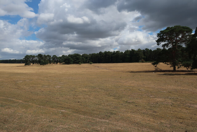
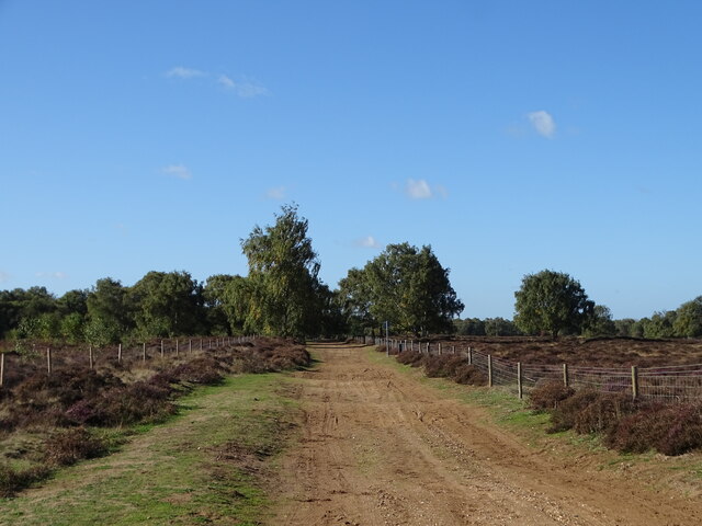
Black Ditches, located in Suffolk, England, is a renowned heritage site with a rich historical significance. This archaeological site is believed to have served as a defensive fortification during the Iron Age, dating back to approximately 300 BC. The site covers an area of about 30 acres and is characterized by a series of earthworks and ditches, giving it its name.

The ditches at Black Ditches are an impressive feat of ancient engineering. They were dug strategically to provide protection from potential invaders, with the purpose of creating a boundary line around the settlement. The ditches themselves are around 4 meters wide and 2 meters deep, forming a formidable barrier against any potential threats.

Excavations conducted at Black Ditches have unearthed various artifacts, shedding light on the lives of the ancient inhabitants. These discoveries include pottery fragments, iron tools, and animal bones, providing valuable insights into the daily activities and cultural practices of the Iron Age community that once occupied the site.

Today, Black Ditches is recognized as a scheduled monument, protected by law due to its historical importance. It serves as a popular destination for history enthusiasts, archaeologists, and tourists alike, who come to explore and learn about the ancient past of Suffolk. The site offers visitors the opportunity to visualize and understand the defensive strategies employed by the Iron Age community, as well as the general lifestyle and societal structure of the time.

If you have any feedback on the listing, please let us know in the comments section below.

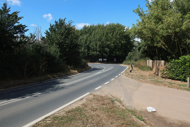
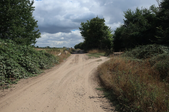
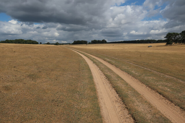
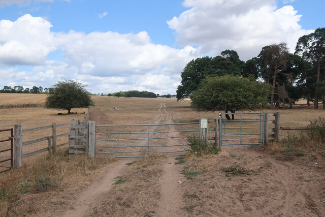
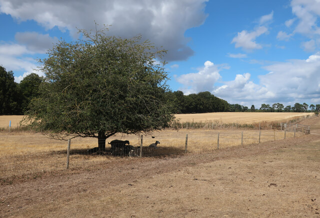
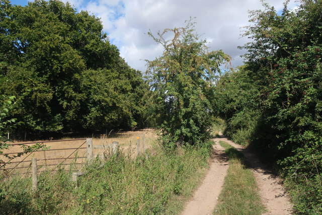
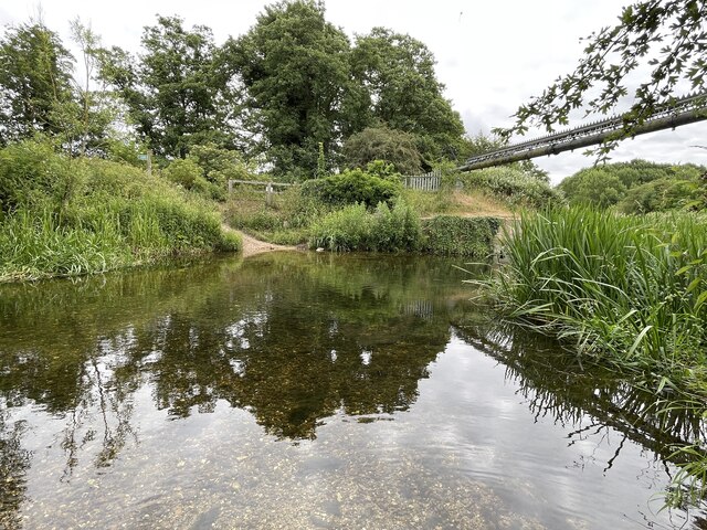
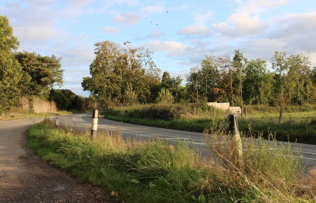
Black Ditches Images

Images are sourced within 2km of 52.322/0.59 or Grid Reference TL7672. Thanks to Geograph Open Source API. All images are credited.

All Saints Church, Icklingham All Saints church is a medieval church dating from the 11th century, complete with a thatched roof.  Today this Grade I listed <span class="nowrap"><a title="https://historicengland.org.uk/listing/the-list/list-entry/1351332?section=official-list-entry" rel="nofollow ugc noopener" href="https://historicengland.org.uk/listing/the-list/list-entry/1351332?section=official-list-entry">Link</a><img style="margin-left:2px;" alt="External link" title="External link - shift click to open in new window" src="https://s1.geograph.org.uk/img/external.png" width="10" height="10"/></span> church is redundant and in the care of the Churches Conservation Trust.
All Saints Church, Icklingham
All Saints church is a medieval church dating from the 11th century, complete with a thatched roof. Today this Grade I listed LinkExternal link church is redundant and in the care of the Churches Conservation Trust.
Thatched cottage in Icklingham This thatched cottage is situated opposite All Saints church.
Thatched cottage in Icklingham
This thatched cottage is situated opposite All Saints church.
Village of Icklingham The village sign on the A1011 entering the village of Icklingham.
Village of Icklingham
The village sign on the A1011 entering the village of Icklingham.
Interior of All Saints church The interior of All Saints church, a medieval church dating from the 11th century.  Today this Grade I listed <span class="nowrap"><a title="https://historicengland.org.uk/listing/the-list/list-entry/1351332?section=official-list-entry" rel="nofollow ugc noopener" href="https://historicengland.org.uk/listing/the-list/list-entry/1351332?section=official-list-entry">Link</a><img style="margin-left:2px;" alt="External link" title="External link - shift click to open in new window" src="https://s1.geograph.org.uk/img/external.png" width="10" height="10"/></span> church is redundant and in the care of the Churches Conservation Trust.
Interior of All Saints church
The interior of All Saints church, a medieval church dating from the 11th century. Today this Grade I listed LinkExternal link church is redundant and in the care of the Churches Conservation Trust.
All Saints Church, Icklingham All Saints church is a medieval church dating from the 11th century, complete with a thatched roof.  Today this Grade I listed <span class="nowrap"><a title="https://historicengland.org.uk/listing/the-list/list-entry/1351332?section=official-list-entry" rel="nofollow ugc noopener" href="https://historicengland.org.uk/listing/the-list/list-entry/1351332?section=official-list-entry">Link</a><img style="margin-left:2px;" alt="External link" title="External link - shift click to open in new window" src="https://s1.geograph.org.uk/img/external.png" width="10" height="10"/></span> church is redundant and in the care of the Churches Conservation Trust.  Here the church is viewed from the north.
All Saints Church, Icklingham
All Saints church is a medieval church dating from the 11th century, complete with a thatched roof. Today this Grade I listed LinkExternal link church is redundant and in the care of the Churches Conservation Trust. Here the church is viewed from the north.
Medieval stained glass Medieval 14th century stained glass in All Saints Church, Icklingham.
Medieval stained glass
Medieval 14th century stained glass in All Saints Church, Icklingham.
Church of St James, Icklingham The church of St James is medieval and restored in the 19th century.  The church is Grade II* listed, see: <span class="nowrap"><a title="https://historicengland.org.uk/listing/the-list/list-entry/1037582?section=official-list-entry" rel="nofollow ugc noopener" href="https://historicengland.org.uk/listing/the-list/list-entry/1037582?section=official-list-entry">Link</a><img style="margin-left:2px;" alt="External link" title="External link - shift click to open in new window" src="https://s1.geograph.org.uk/img/external.png" width="10" height="10"/></span>
Church of St James, Icklingham
The church of St James is medieval and restored in the 19th century. The church is Grade II* listed, see: LinkExternal link
Houses in Icklingham Houses on the A1011 in the village of Icklingham.
Houses in Icklingham
Houses on the A1011 in the village of Icklingham.
A1101 out of Icklingham
Byway by Icklingham
Byway by Icklingham
Byway through Deadman's Grave Open access land, but closed except for the byway from the start of March to the end of October to protect rare and ground-nesting birds.
Byway through Deadman's Grave
Open access land, but closed except for the byway from the start of March to the end of October to protect rare and ground-nesting birds.
Byway onto Deadman's Grave
Deadman's Grave Grassy warren north of Icklingham. Open access land, but closed except for the byway from the start of March to the end of October to protect rare and ground-nesting birds.
Deadman's Grave
Grassy warren north of Icklingham. Open access land, but closed except for the byway from the start of March to the end of October to protect rare and ground-nesting birds.
Sheep in the shade Far from the hottest day of the summer but sufficient to send the sheep to seek shelter.
Sheep in the shade
Far from the hottest day of the summer but sufficient to send the sheep to seek shelter.
Byway from Icklingham
Icknield Way
Icknield Way
Temple Bridge Ford This ford is found at Temple Bridge on the River Lark.
Temple Bridge Ford
This ford is found at Temple Bridge on the River Lark.
Parking area on Bury Road, Lackford
Show me another place!

Black Ditches is located at Grid Ref: TL7672 (Lat: 52.322, Lng: 0.59)

Administrative County: Suffolk

District: West Suffolk

Police Authority: Suffolk

What 3 Words

///dislikes.product.arrives. Near Mildenhall, Suffolk

Related Wikis

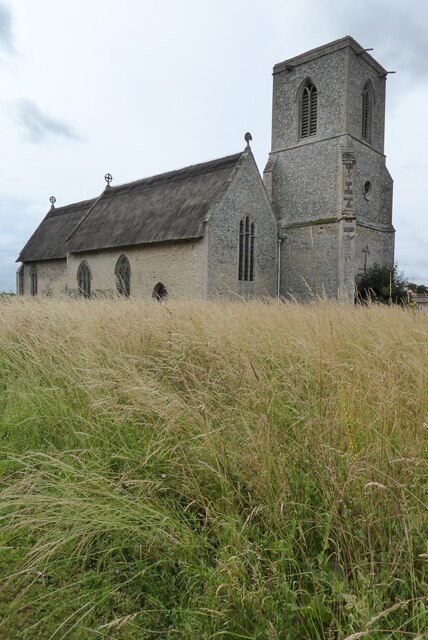
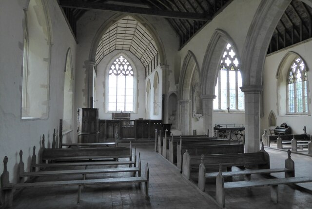
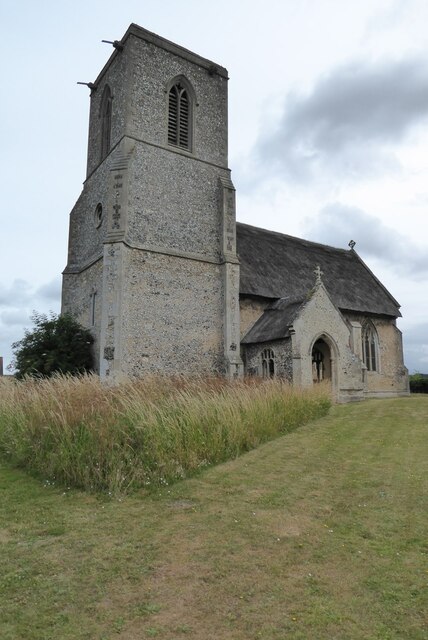
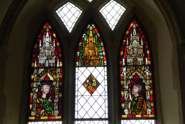
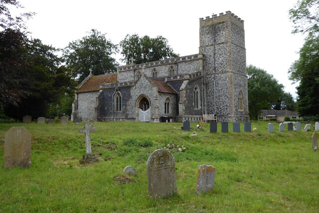
All Saints' Church, Icklingham

All Saints' Church is a redundant Anglican church in the village of Icklingham, Suffolk, England. It is recorded in the National Heritage List for England...
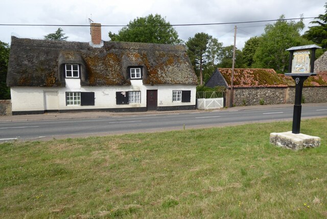
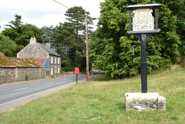
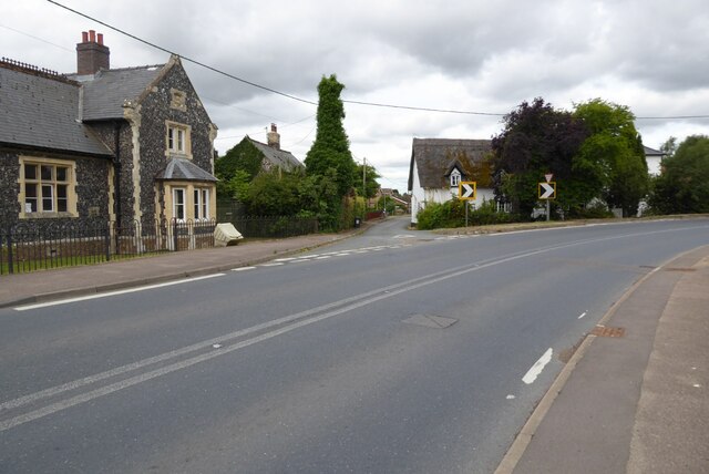
Icklingham

Icklingham is a village and civil parish in the West Suffolk district of Suffolk in eastern England. It is located about 7 miles (11 km) north-west of...

Cavenham–Icklingham Heaths

Cavenham–Icklingham Heaths is a 419 hectare biological Site of Special Scientific Interest west of Icklingham in Suffolk. It is a Nature Conservation Review...

RAF Tuddenham

Royal Air Force Tuddenham or RAF Tuddenham is a former Royal Air Force station located 3.2 miles (5.1 km) south east of Mildenhall, Suffolk, England and...

Deadman's Grave, Icklingham

Deadman's Grave, Icklingham is a 127.3-hectare (315-acre) biological Site of Special Scientific Interest north-east of Icklingham in Suffolk. It is a Nature...

Cavenham

Cavenham is a village and civil parish in Suffolk, England, 10 kilometres (6 mi) northwest of Bury St Edmunds. It is in the local government district of...

West Stow Heath

West Stow Heath is a 44.3-hectare (109-acre) biological Site of Special Scientific Interest west of West Stow in Suffolk. It is part of the Breckland Special...

Tuddenham

Tuddenham is a village and civil parish in the West Suffolk district of Suffolk in eastern England. In 2005 it had a population of 450. falling to 423...

Nearby Amenities

Located within 500m of 52.322,0.59
Power: pole
Lat/Long: 52.3245535/0.5935434
Power: pole
Lat/Long: 52.323165/0.5954183
Power: pole
Lat/Long: 52.3239305/0.5945707
Power: pole
Lat/Long: 52.3216682/0.5970946
Power: pole
Lat/Long: 52.324642/0.5937767
Power: pole
Lat/Long: 52.3223387/0.5960191
Power: pole
Lat/Long: 52.3254059/0.5929479
Power: pole
Lat/Long: 52.3215731/0.5968667
Power: pole
Lat/Long: 52.3259436/0.5917946
Power: pole
Lat/Long: 52.3230715/0.595201
Power: pole
Lat/Long: 52.3252977/0.5927065
Power: pole
Lat/Long: 52.323801/0.5943829
Power: pole
Lat/Long: 52.3224141/0.5962578
Power: pole
Lat/Long: 52.3261551/0.5920655
Information: guidepost
Ref: 4
Tourism: information
Lat/Long: 52.3240352/0.5858178
Information: guidepost
Ref: 3
Tourism: information
Lat/Long: 52.3246797/0.5848503
Building: bunker
Bunker Type: pillbox
Military: bunker
Note: Approximate position from triangulation
Lat/Long: 52.324109/0.5885736
Barrier: kissing_gate
Foot: yes
Lat/Long: 52.3246538/0.5847137
The data included in this document is from www.openstreetmap.org. The data is made available under ODbL.

Have you been to Black Ditches?

Leave your review of Black Ditches below (or comments, questions and feedback).