Black Hill
Heritage Site in Lanarkshire
Scotland
Black Hill
Black Hill, located in Lanarkshire, Scotland, is a historic heritage site renowned for its natural beauty and cultural significance. Standing tall at an elevation of 442 meters (1,450 feet), it is one of the highest peaks in the region, offering breathtaking panoramic views of the surrounding countryside.
The hill holds great historical importance as it was once a mining site during the late 19th and early 20th centuries. Coal mining was the main industry in Lanarkshire, and Black Hill played a vital role in fueling the local economy. The remnants of mining infrastructure, such as old mine shafts and spoil heaps, can still be seen on the hill, serving as a reminder of its industrial past.
Today, Black Hill is a popular destination for outdoor enthusiasts and nature lovers. The hill is crisscrossed with well-maintained footpaths and trails, providing opportunities for hiking, walking, and birdwatching. The diverse flora and fauna found on the hill, including heather, mosses, and various bird species, make it an ideal spot for wildlife enthusiasts and photographers.
Moreover, Black Hill is part of the Clyde Valley Woodlands National Nature Reserve, further enhancing its ecological significance. The reserve is home to an array of plant and animal species, including rare orchids and red squirrels.
Visitors to Black Hill can also explore the nearby Scottish Wildlife Trust's Falls of Clyde nature reserve, which boasts scenic waterfalls and ancient woodland. The reserve offers educational programs and guided walks, providing visitors with a deeper understanding of the local ecosystem and its conservation efforts.
Overall, Black Hill in Lanarkshire is a captivating heritage site that combines natural beauty, historical significance, and abundant wildlife, making it an ideal destination for both history buffs and nature enthusiasts.
If you have any feedback on the listing, please let us know in the comments section below.
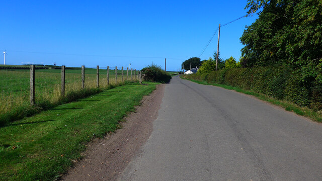
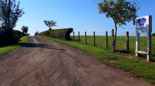
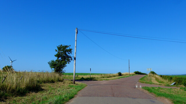
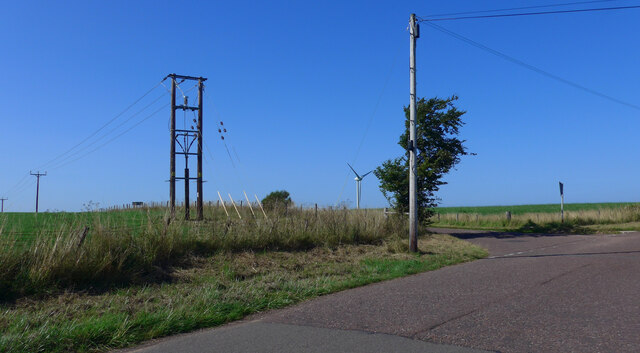
Black Hill Images
Images are sourced within 2km of 55.6714/-3.8587 or Grid Reference NS8343. Thanks to Geograph Open Source API. All images are credited.


Black Hill is located at Grid Ref: NS8343 (Lat: 55.6714, Lng: -3.8587)
Unitary Authority: South Lanarkshire
Police Authority: Lanarkshire
What 3 Words
///motoring.eagles.passage. Near Blackwood, South Lanarkshire
Nearby Locations
Related Wikis

Black Hill (South Lanarkshire)
The Black Hill in South Lanarkshire is owned by the National Trust for Scotland. It overlooks the Clyde Valley, and is the location of a burial cairn from...

Stonebyres
Stonebyres was an estate and country house in Lanarkshire, Scotland, belonging to the Weir, or de Vere, family from earliest recorded history. The Weir...

Stonebyres Falls
Stonebyres Falls is a waterfall of the River Clyde in Scotland. It is located on the former Stonebyres estate at the site of Stonebyres Castle. ��2�...

Auchenheath
Auchenheath is a small village in South Lanarkshire, Scotland. It is on the River Nethan and is located near Blackwood, Kirkmuirhill, and Lanark. Auchenheath...
Cartland, South Lanarkshire
Cartland is a village in South Lanarkshire, Scotland. == See also == List of places in South Lanarkshire
Auchenheath railway station
Auchenheath railway station was just outside Auchenheath, a hamlet in the county of South Lanarkshire, Scotland. It was served by local trains on the Coalburn...
Tillietudlem
Tillietudlem is a fictional castle in Walter Scott's 1816 novel Old Mortality, and a modern settlement in South Lanarkshire, Scotland. Interest in Scott...
Nethan Gorge
Nethan Gorge is a natural gorge carved by the River Nethan, in South Lanarkshire, Scotland. == Geography == Nethan Gorge is split into two officially designated...
Related Videos

6 April 2020
Craignethan Castle Scotland | Scottish Castles.

Clyde Valley Farm First Family Day Out Since Lockdown.
It was good to finally get out and about with the kids and family. The feeling of normality once more. A short video from our day at ...
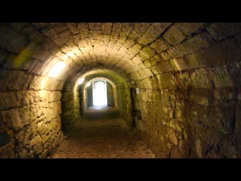
Craignethan Castle.
A nice sunny July afternoon and with Brian (WeeEmo1) a pleasant walk around Craignethan Castle (South Lanarkshire, Scotland.)
Our epic Family day out @ clyde Valley Family Park
kids thoroughly enjoyed the day as did wee,weather stayed good and there was plenty to see and do , keeping the kids ...
Nearby Amenities
Located within 500m of 55.6714,-3.8587Have you been to Black Hill?
Leave your review of Black Hill below (or comments, questions and feedback).