Parson's Peats Wood

Wood, Forest in Sussex Rother

England

Parson's Peats Wood

Level Crossing at Mountfield East Sussex Small level crossing on narrow road from Netherfield to Mountfield East Sussex on the Hastings to Charing Cross line.
Level Crossing at Mountfield East Sussex Credit: Janet Richardson

Parson's Peats Wood is a picturesque woodland located in the county of Sussex, England. Situated in the heart of the South Downs National Park, this forested area covers an expansive area of approximately 200 acres. The wood is named after the local village of Parson's Peats, which lies adjacent to its western boundary.

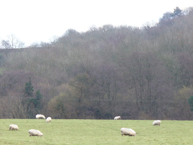
The woodland is primarily composed of a diverse range of tree species, including oak, beech, ash, and birch. These towering trees create a dense canopy that provides shelter and habitat for a variety of wildlife. Visitors to the wood can expect to encounter an array of bird species, such as woodpeckers, nuthatches, and warblers, as well as small mammals like squirrels and foxes.

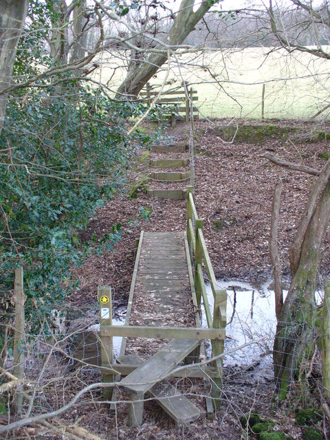
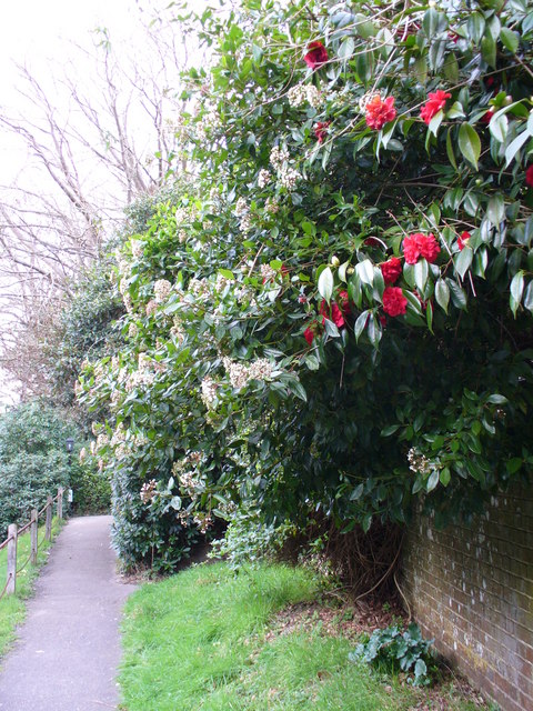
Parson's Peats Wood offers visitors a tranquil and immersive experience in nature. Numerous well-maintained footpaths and trails wind through the forest, allowing visitors to explore its beauty at their own pace. The wood is particularly popular among hikers and nature enthusiasts, who enjoy the opportunity to escape the hustle and bustle of everyday life and immerse themselves in the serene surroundings.

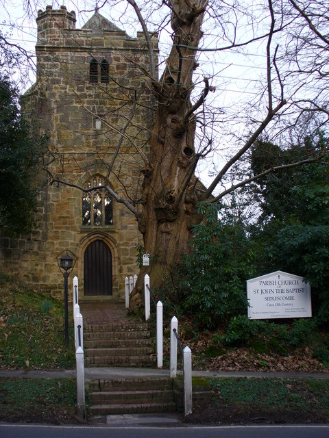
In addition to its natural charm, Parson's Peats Wood also holds historical significance. Remnants of ancient settlements and archaeological sites have been discovered within its boundaries, providing a glimpse into the area's rich past. These historical features add an extra layer of intrigue for those interested in the cultural heritage of the region.

Overall, Parson's Peats Wood is a captivating woodland that offers visitors a chance to connect with nature, explore its trails, and discover its historical treasures.

If you have any feedback on the listing, please let us know in the comments section below.

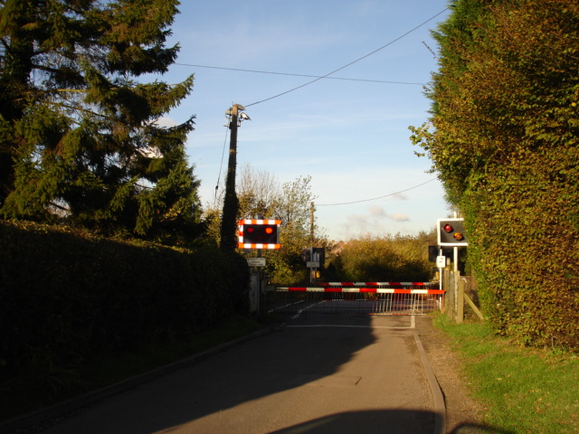
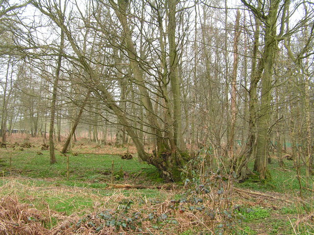
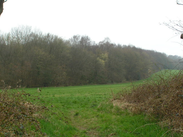
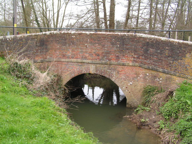
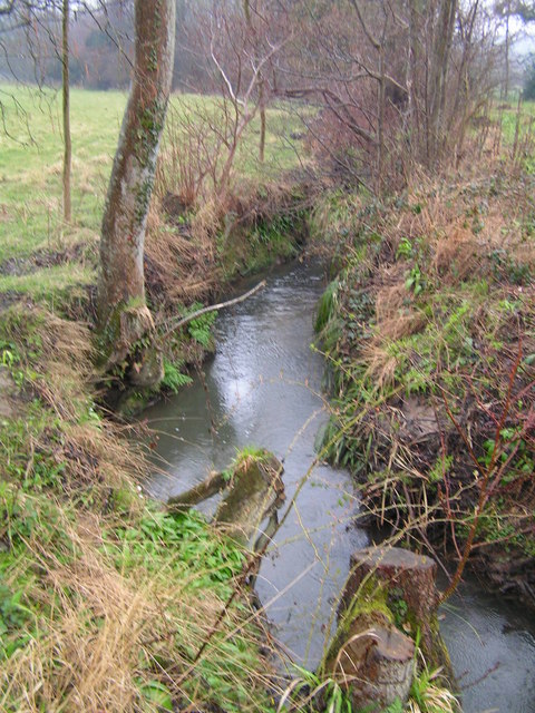
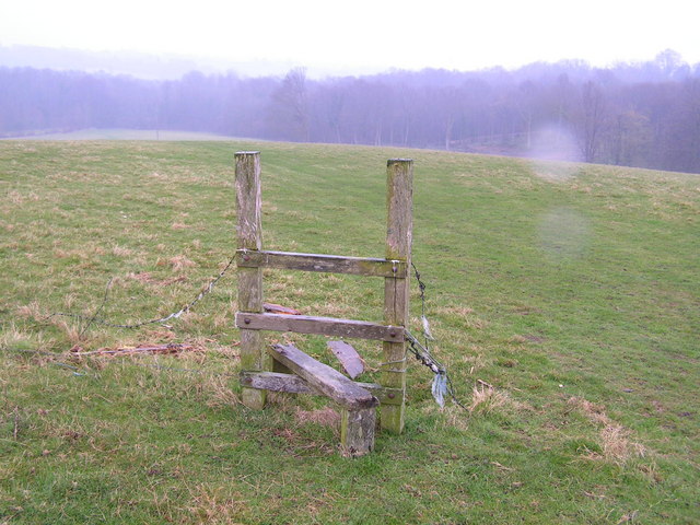
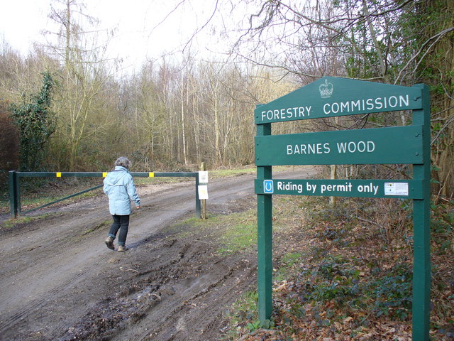
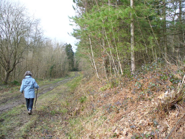
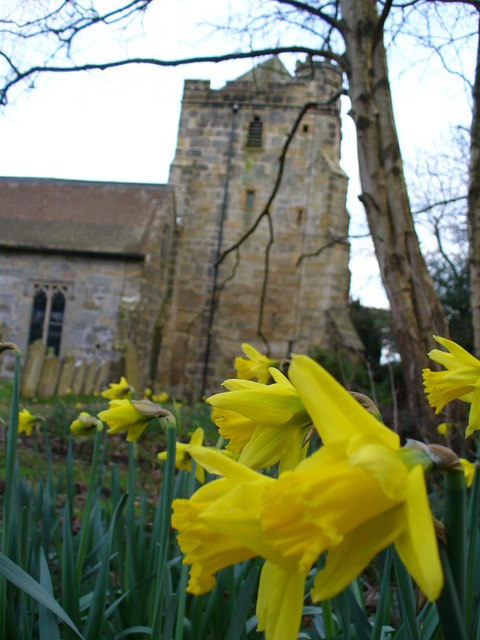
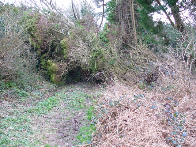
Parson's Peats Wood Images

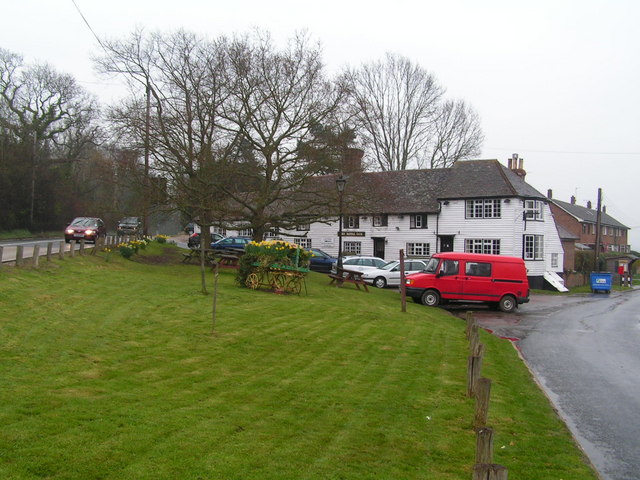
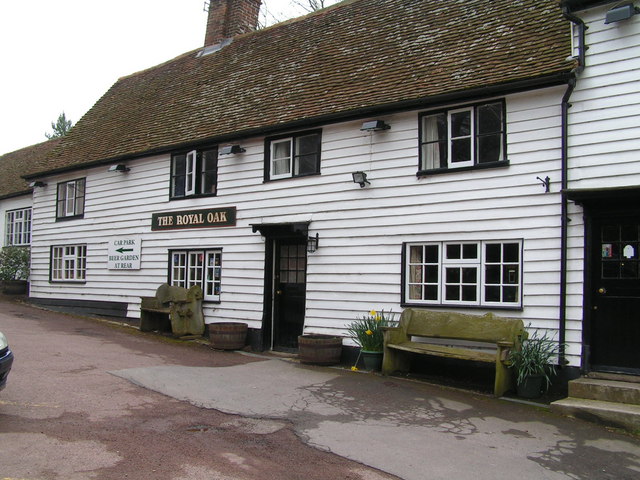
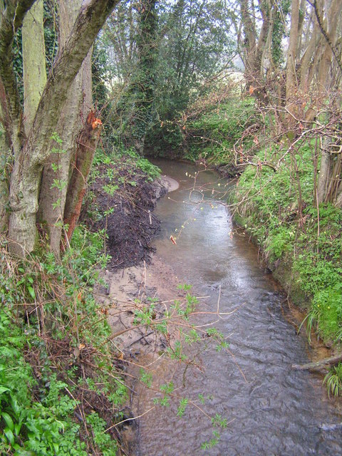
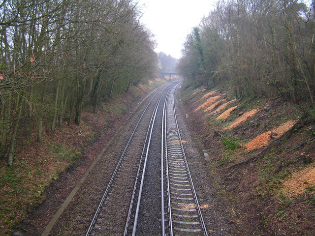
Images are sourced within 2km of 50.947234/0.51029359 or Grid Reference TQ7619. Thanks to Geograph Open Source API. All images are credited.

Level Crossing at Mountfield East Sussex Small level crossing on narrow road from Netherfield to Mountfield East Sussex on the Hastings to Charing Cross line.
Level Crossing at Mountfield East Sussex
Small level crossing on narrow road from Netherfield to Mountfield East Sussex on the Hastings to Charing Cross line.
Petley Woods Typical Wealden woodland of mixed trees
Petley Woods
Typical Wealden woodland of mixed trees
The Northern edge of Petley Woods Very typical High Wealden landscape
The Northern edge of Petley Woods
Very typical High Wealden landscape
Bridge over the River Line, Whatlington A sussex byway crosses this small river in the Hamlet / Small village of Whatlington
Bridge over the River Line, Whatlington
A sussex byway crosses this small river in the Hamlet / Small village of Whatlington
The Royal Oak, Whatlington This public house was built in 1490. The apple tree in the garden is wassailed every year. The A21 runs by its side.
The Royal Oak, Whatlington
This public house was built in 1490. The apple tree in the garden is wassailed every year. The A21 runs by its side.
The Royal Oak, Whatlington In the bar is a very deep well & a very large inglenook
The Royal Oak, Whatlington
In the bar is a very deep well & a very large inglenook
The River Line A few miles downstream from here this river joins the R. Brede
The River Line
A few miles downstream from here this river joins the R. Brede
Tonbridge to Hastings railway line This is the main London to Hastings line via Tonbridge
Tonbridge to Hastings railway line
This is the main London to Hastings line via Tonbridge
A small wealden stream A small tributary of the R. Line
A small wealden stream
A small tributary of the R. Line
A defunct stile The footpath running through this area is difficult to follow and this stile sums it up!
A defunct stile
The footpath running through this area is difficult to follow and this stile sums it up!
Barnes Wood A forest track leading into the wood where it was a busy day for foresters. A few sections of track were rendered nearly impassable by the deep ruts in the mud.
Barnes Wood
A forest track leading into the wood where it was a busy day for foresters. A few sections of track were rendered nearly impassable by the deep ruts in the mud.
Forest Track in Barnes Wood This wood has a number of tracks criss-crossing its small area. The tracks are clay surface and so are very prone to being very muddy after wet weather, and prone to having deep ruts caused by forestry vehicles.
Forest Track in Barnes Wood
This wood has a number of tracks criss-crossing its small area. The tracks are clay surface and so are very prone to being very muddy after wet weather, and prone to having deep ruts caused by forestry vehicles.
Footbridge North of Sedlescombe East Sussex Council maintains this area well. A stile, footbridge, steps and a second stile make the going easy for walkers to cross this stream.
Footbridge North of Sedlescombe
East Sussex Council maintains this area well. A stile, footbridge, steps and a second stile make the going easy for walkers to cross this stream.
Grazing Sheep at Footland The wet grassland provides sustenance for many sheep as they enter the lambing season. Beyond the fields, the valleysides are clothed by deciduous trees.
Grazing Sheep at Footland
The wet grassland provides sustenance for many sheep as they enter the lambing season. Beyond the fields, the valleysides are clothed by deciduous trees.
Sedlescombe Parish Church The parish church of St John the Baptist dates from the 13th Century but the west tower seen here dates from 15th Century. Spanish chestnuts flank the entrance while there are, naturally, yews in the churchyard.
Sedlescombe Parish Church
The parish church of St John the Baptist dates from the 13th Century but the west tower seen here dates from 15th Century. Spanish chestnuts flank the entrance while there are, naturally, yews in the churchyard.
Footpath at Sedlescombe Church The path parallels the village street which follows the ridge line between the River Line and another tributary of the River Brede. Rhododendrons and skimmia lining the churchyard are blooming in February.
Footpath at Sedlescombe Church
The path parallels the village street which follows the ridge line between the River Line and another tributary of the River Brede. Rhododendrons and skimmia lining the churchyard are blooming in February.
Daffodil in Sedlescombe Churchyard Early blooms in beside the 15th Century church tower. The Sackvilles were the local landowners here.
Daffodil in Sedlescombe Churchyard
Early blooms in beside the 15th Century church tower. The Sackvilles were the local landowners here.
Blocked Footpath at Sedlescombe A fallen tree makes the going difficult for walkers but about three feet headroom makes the path still passable.
Blocked Footpath at Sedlescombe
A fallen tree makes the going difficult for walkers but about three feet headroom makes the path still passable.
Show me another place!

Parson's Peats Wood is located at Grid Ref: TQ7619 (Lat: 50.947234, Lng: 0.51029359)

Administrative County: East Sussex

District: Rother

Police Authority: Sussex

What 3 Words

///egging.decking.shipyards. Near Battle, East Sussex

Related Wikis

Whatlington

Whatlington is a village and civil parish in the Rother district of East Sussex, England. The village is seven miles (11 km) north of Hastings, just off...

Durhamford Manor

Durhamford Manor is a Grade II* listed country house in the parish of Sedlescombe, East Sussex, England. The timber-framed, close-studded house dates to...

Vinehall Street

Vinehall Street (or Vinehall), is a linear settlement in the civil parishes of Mountfield and Whatlington, and the Rother district of East Sussex, England...

Mountfield Halt railway station

Mountfield Halt (TQ 746 197 50°57′01″N 0°29′12″E) was situated on the Hastings Line between Robertsbridge and Battle. It opened in 1923 and was closed...

Vinehall School

Vinehall School is a co-educational day, boarding school and nursery located at Vinehall Street, near the town of Robertsbridge, East Sussex. It takes...

Sedlescombe vineyard

Sedlescombe organic vineyard is an English vineyard located in Robertsbridge, just outside Sedlescombe in East Sussex.It is one of the few British vineyards...

Cripps Corner

Cripps Corner is a village in the civil parish of Ewhurst and the Rother district of East Sussex, England. It is in the High Weald Area of Outstanding...

Sedlescombe

Sedlescombe is a village and civil parish in the Rother district of East Sussex, England. The village is on the B2244 road, about 6 miles (10 km) north...

Nearby Amenities

Located within 500m of 50.947234,0.51029359
Post Box
Collection Times: Mo-Fr 17:00; Sa 11:15
Operator: Royal Mail
Operator Wikidata: Q638098
Post Box Type: lamp
Ref: TN33 274
Royal Cypher: EIIR
Royal Cypher Wikidata: Q33102113
Lat/Long: 50.9451202/0.5088262
Defibrillator
Access: yes
Defibrillator Location: outside Royal Oak pub
Emergency: defibrillator
Indoor: no
Lat/Long: 50.9452534/0.5088343
Woodmans Green
Place: hamlet
Lat/Long: 50.9455598/0.5087354
The data included in this document is from www.openstreetmap.org. The data is made available under ODbL.

Have you been to Parson's Peats Wood?

Leave your review of Parson's Peats Wood below (or comments, questions and feedback).