Peggy's Belt
Wood, Forest in Suffolk West Suffolk
England
Peggy's Belt
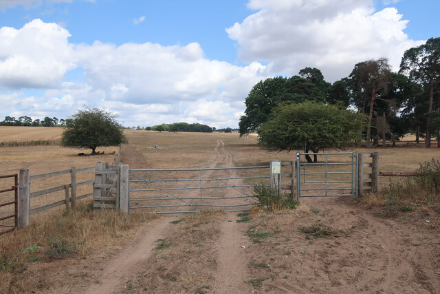
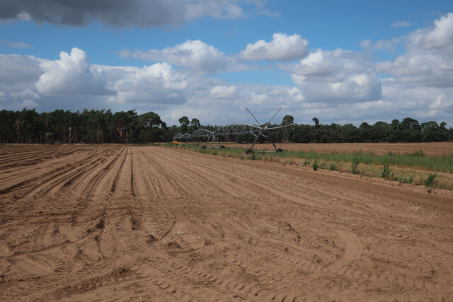
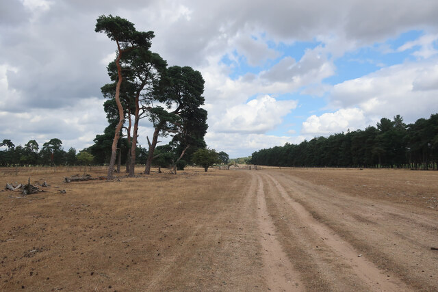
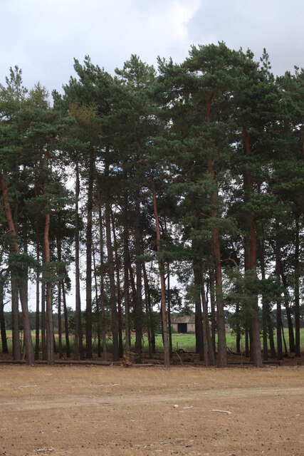
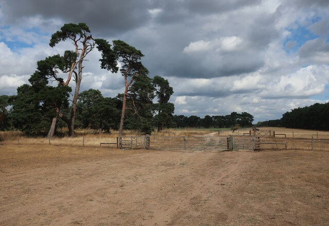
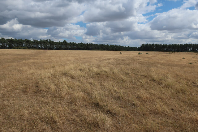
Peggy's Belt, Suffolk is a picturesque woodland area situated in the county of Suffolk, England. Covering an expansive area, it is known for its diverse range of trees and natural beauty. The belt is named after Peggy, a local resident who was known for her love and care for the forest.
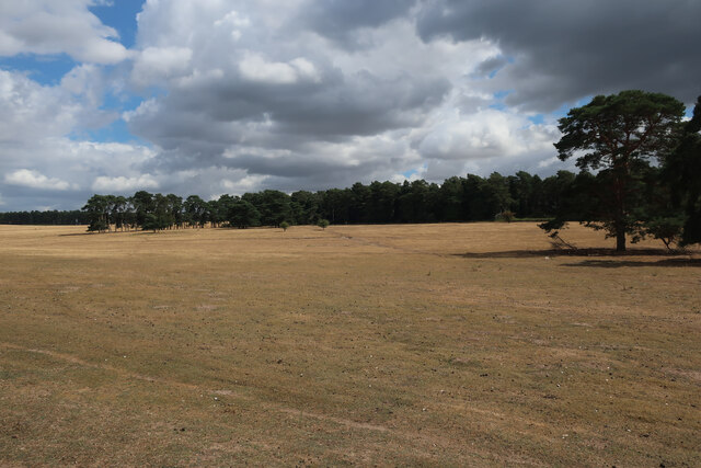
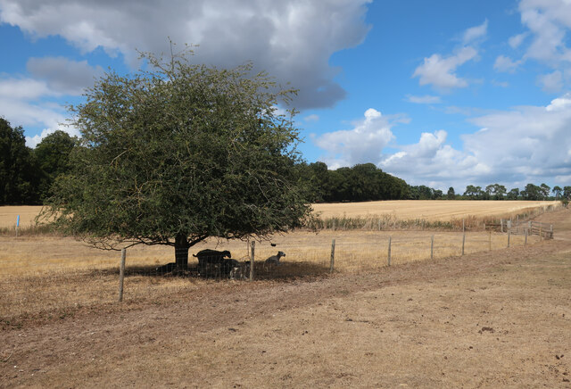
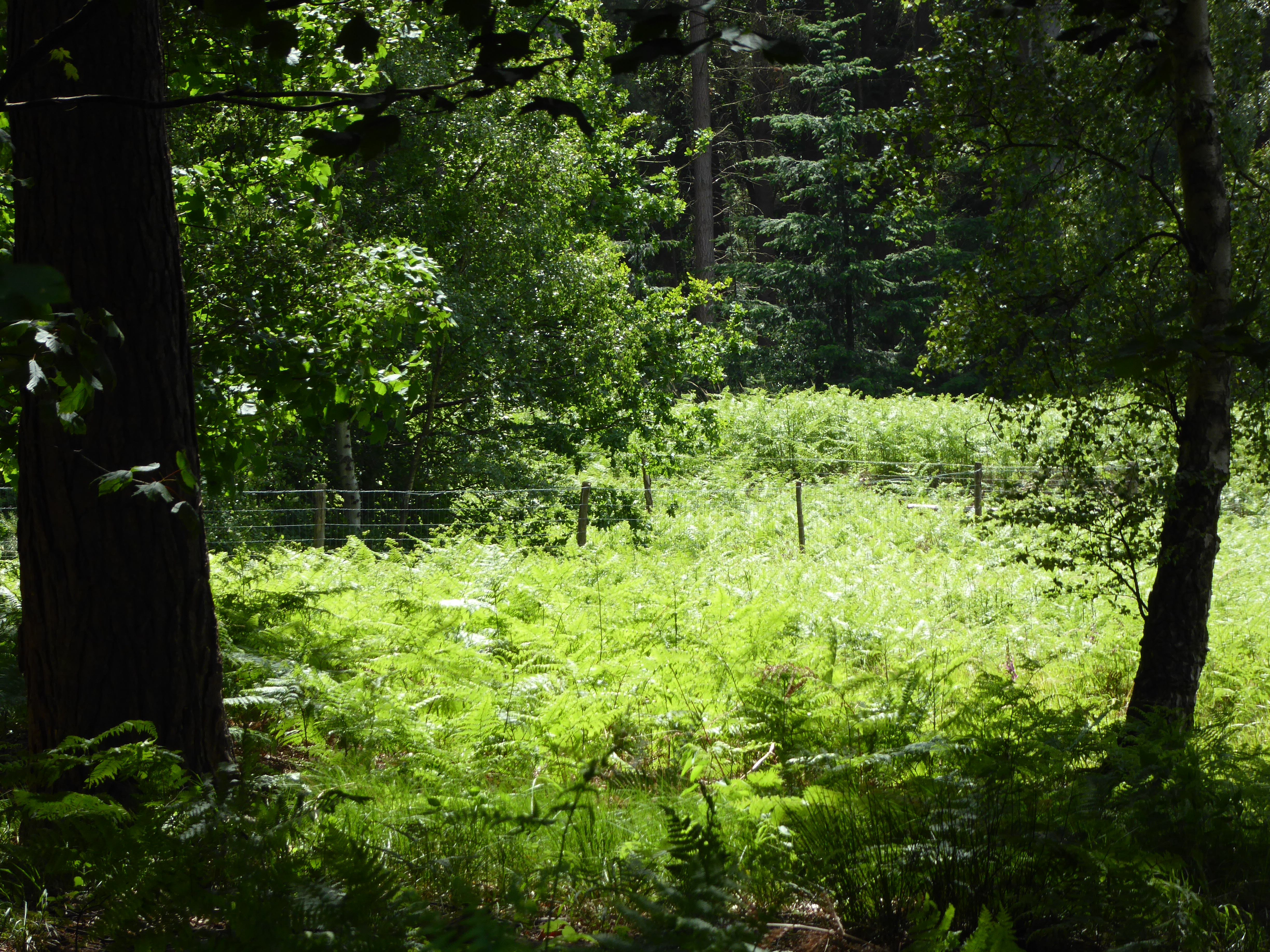
The woodland is primarily composed of deciduous trees, including oak, beech, and birch, which create a stunning canopy of green during the summer months. These trees provide a habitat for a variety of wildlife, making Peggy's Belt a haven for nature enthusiasts and birdwatchers. The forest floor is adorned with an array of wildflowers and ferns, adding to its enchanting atmosphere.
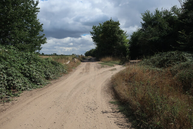
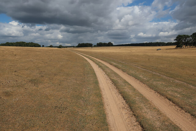
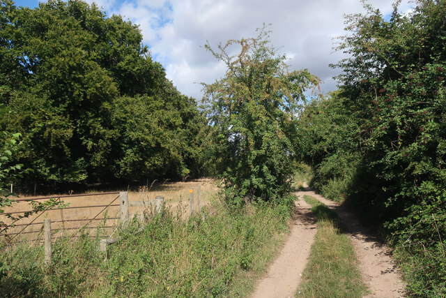
The woodland is crisscrossed by several walking trails, allowing visitors to explore its beauty at their own pace. These trails range in difficulty, catering to both casual strollers and experienced hikers. Along the way, visitors can discover hidden streams and ponds, adding to the tranquility of the area.
Peggy's Belt offers a peaceful retreat from the hustle and bustle of city life, providing a space for relaxation and reflection. It is a popular destination for families, couples, and individuals seeking a connection with nature. The forest is also used as an outdoor classroom by local schools, providing educational opportunities for children to learn about the environment and conservation.
In summary, Peggy's Belt, Suffolk is a stunning woodland area with a rich diversity of trees and wildlife. Its natural beauty, walking trails, and educational opportunities make it a beloved destination for nature lovers in Suffolk and beyond.
If you have any feedback on the listing, please let us know in the comments section below.
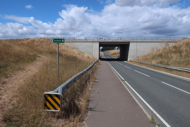
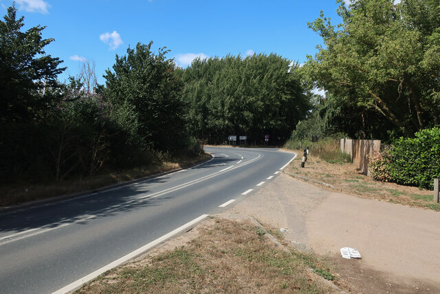
Peggy's Belt Images
Images are sourced within 2km of 52.344652/0.59606147 or Grid Reference TL7675. Thanks to Geograph Open Source API. All images are credited.

Peggy's Belt is located at Grid Ref: TL7675 (Lat: 52.344652, Lng: 0.59606147)
Administrative County: Suffolk
District: West Suffolk
Police Authority: Suffolk
What 3 Words
///hospitals.identify.glider. Near Mildenhall, Suffolk
Nearby Locations
Related Wikis

Deadman's Grave, Icklingham
Deadman's Grave, Icklingham is a 127.3-hectare (315-acre) biological Site of Special Scientific Interest north-east of Icklingham in Suffolk. It is a Nature...

How Hill Track
How Hill Track is a 3.1-hectare (7.7-acre) biological Site of Special Scientific Interest east of Mildenhall in Suffolk. It is in the Breckland Special...

Cavenham–Icklingham Heaths
Cavenham–Icklingham Heaths is a 419 hectare biological Site of Special Scientific Interest west of Icklingham in Suffolk. It is a Nature Conservation Review...

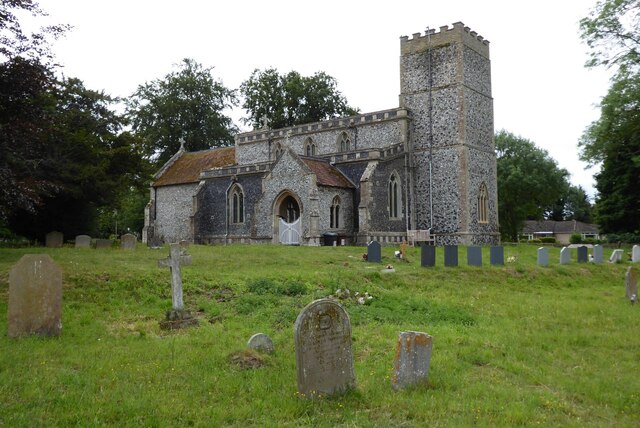
All Saints' Church, Icklingham
All Saints' Church is a redundant Anglican church in the village of Icklingham, Suffolk, England. It is recorded in the National Heritage List for England...

Weather and Horn Heaths, Eriswell
Weather and Horn Heaths, Eriswell is a 133.3-hectare (329-acre) biological Site of Special Scientific Interest east of Eriswell in Suffolk. It is a Nature...
Rex Graham nature reserve
Rex Graham Reserve is a 2.8-hectare (6.9-acre) biological Site of Special Scientific Interest east of Mildenhall in Suffolk. It is a Special Area of Conservation...

Berner's Heath
Berner's Heath is a 236.9-hectare (585-acre) biological Site of Special Scientific Interest north-east of Icklingham in Suffolk. It is a Nature Conservation...
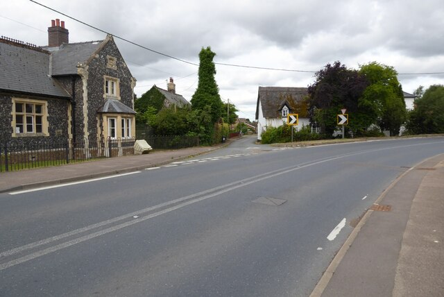
Icklingham
Icklingham is a village and civil parish in the West Suffolk district of Suffolk in eastern England. It is located about 7 miles (11 km) north-west of...
Have you been to Peggy's Belt?
Leave your review of Peggy's Belt below (or comments, questions and feedback).