Bunker's Hill
Hill, Mountain in Norfolk King's Lynn and West Norfolk
England
Bunker's Hill
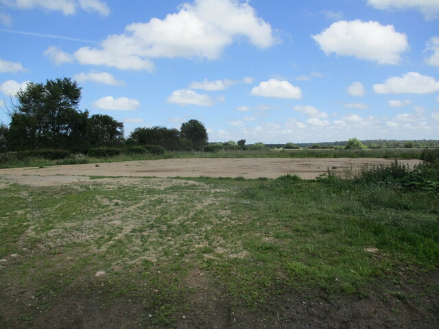
Bunker's Hill, located in Norfolk, is a prominent hill that stands as a picturesque landmark in the region. Situated in a predominantly residential area, this hill offers a stunning panoramic view of the surrounding areas, including the city of Norfolk and the Elizabeth River. Although referred to as a "hill," Bunker's Hill could be more accurately described as a large elevated mound, rather than a traditional mountain.
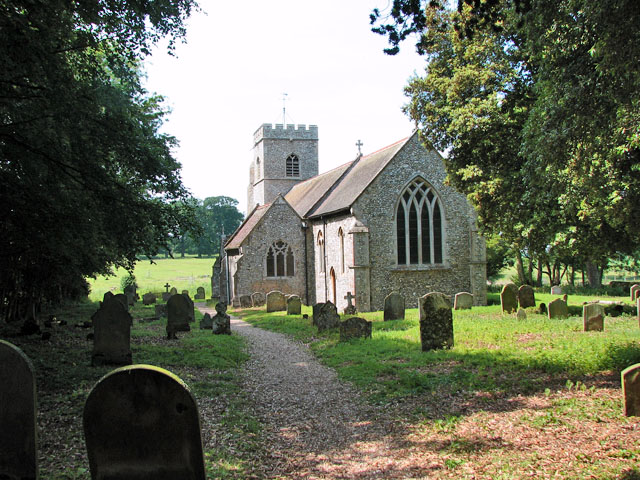
The hill gets its name from a historical reference to the Battle of Bunker Hill, which took place during the American Revolutionary War. However, it is important to note that this hill is not the actual location of the battle, but rather a namesake tribute. The area surrounding Bunker's Hill is rich in history, with various landmarks and historical sites nearby.
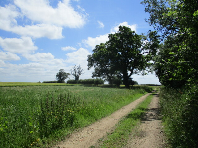
Bunker's Hill is a popular spot for locals and tourists alike, attracting nature enthusiasts, photographers, and those seeking stunning vistas. The hill is covered in lush greenery, with trees and wildflowers dotting its slopes. It provides an excellent opportunity for hiking, bird-watching, or simply enjoying a leisurely stroll while taking in the beautiful scenery.
Additionally, the hill is a favorite destination during the autumn season when the foliage transforms into a vibrant display of reds, oranges, and yellows. This natural spectacle draws visitors from afar who want to capture the breathtaking beauty of the hill and its surroundings.
Overall, Bunker's Hill in Norfolk is a charming and historically significant location that offers a tranquil escape and an opportunity to appreciate the natural splendor of the area.
If you have any feedback on the listing, please let us know in the comments section below.
Bunker's Hill Images
Images are sourced within 2km of 52.825597/0.61626368 or Grid Reference TF7628. Thanks to Geograph Open Source API. All images are credited.


Bunker's Hill is located at Grid Ref: TF7628 (Lat: 52.825597, Lng: 0.61626368)
Administrative County: Norfolk
District: King's Lynn and West Norfolk
Police Authority: Norfolk
What 3 Words
///grower.tender.fabricate. Near Grimston, Norfolk
Nearby Locations
Related Wikis
Anmer
Anmer is a small village and civil parish in the English county of Norfolk. It is around 12 miles (19 km) north-east of the town of King's Lynn and 35...

Anmer Hall
Anmer Hall is a Georgian country house in the village of Anmer in Norfolk, England. Built in the 19th century, it was acquired by the Sandringham Estate...

Houghton Hall
Houghton Hall ( HOW-tən) is a country house in the parish of Houghton in Norfolk, England. It is the residence of David Cholmondeley, 7th Marquess of Cholmondeley...

Houghton, Norfolk
Houghton is a small village and a civil parish in the English county of Norfolk. It covers an area of 7.64 km2 (2.95 sq mi) and had a population of 69...

St Martin at Tours' Church, Houghton
St Martin at Tours' Church is an active Church of England parish church in the village of Houghton, Norfolk, England. It is a Grade I listed building...

Harpley, Norfolk
Harpley is a village and civil parish in the English county of Norfolk. It covers an area of 9.29 km2 (3.59 sq mi) and had a population of 353 in 157 households...

Bagthorpe, Norfolk
Bagthorpe is a village and former civil parish, now in the parish of Bagthorpe with Barmer, in the King's Lynn and West Norfolk district, in the county...
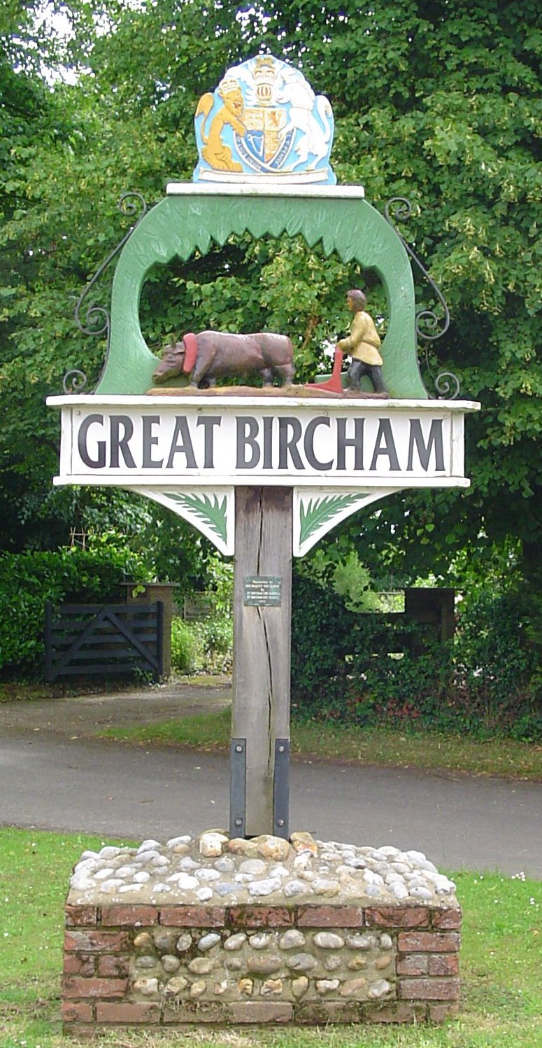
Great Bircham
Great Bircham is the largest of the three villages that make up the civil parish of Bircham, in the west of the English county of Norfolk. The village...
Nearby Amenities
Located within 500m of 52.825597,0.61626368Have you been to Bunker's Hill?
Leave your review of Bunker's Hill below (or comments, questions and feedback).