Baily's Hill
Hill, Mountain in Sussex Wealden
England
Baily's Hill
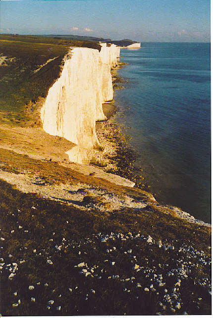
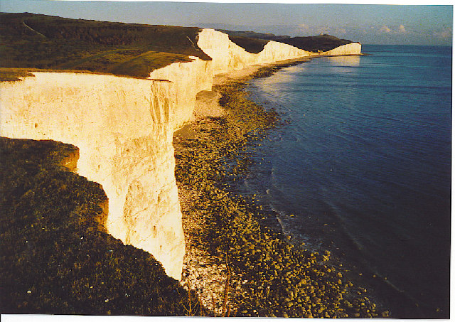
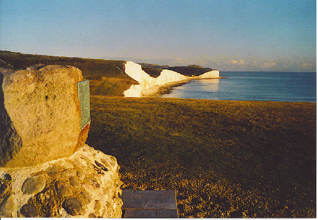
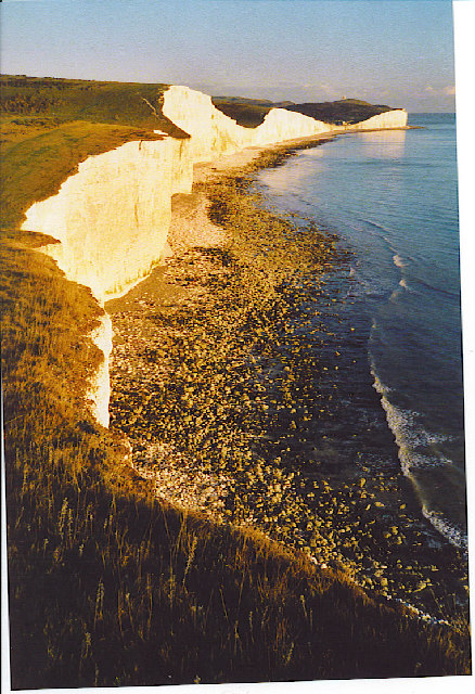
Baily's Hill is a prominent geographical feature located in Sussex, England. Situated in the South Downs National Park, it is renowned for its picturesque landscapes and stunning views. Although referred to as a hill, Baily's Hill could also be considered a small mountain due to its impressive height and rugged terrain.
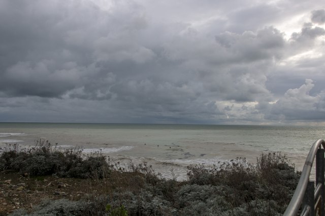
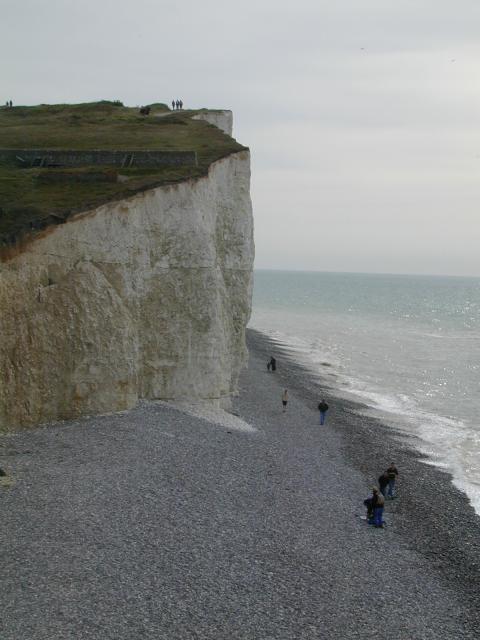
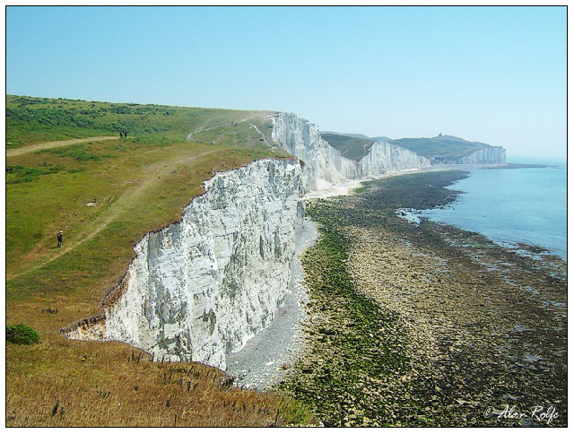
Standing at an elevation of approximately 750 feet (230 meters), Baily's Hill offers panoramic vistas of the surrounding countryside, including rolling hills, lush meadows, and charming villages. On clear days, it is possible to see as far as the English Channel, providing visitors with a breathtaking sight.
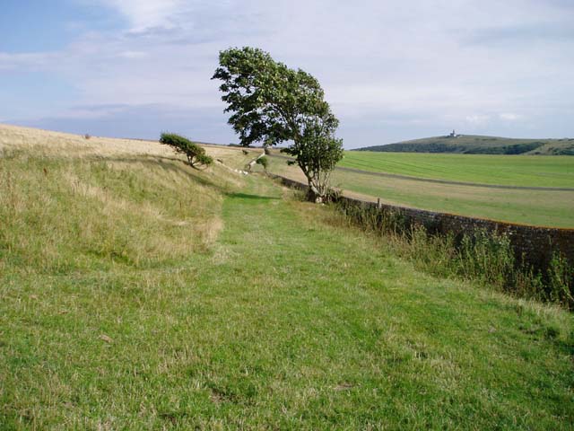
The hill is covered in a mix of grasses, heather, and wildflowers, creating a colorful and vibrant display throughout the year. Its diverse flora and fauna make it a popular spot for nature enthusiasts, who can explore the various walking trails and appreciate the wealth of biodiversity.
For those looking for outdoor activities, Baily's Hill provides ample opportunities for hiking, cycling, and horseback riding. The well-maintained trails cater to different skill levels, ensuring an enjoyable experience for all. Additionally, the hill is a favorite destination for paragliding enthusiasts, who can take advantage of the favorable wind conditions and soar through the skies.
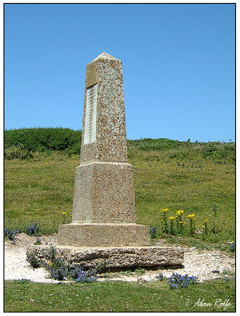
Baily's Hill has a rich history, dating back centuries. It has been a site of archaeological interest, with excavations unearthing artifacts from the Iron Age and Roman periods. The hill's significance is also evidenced by the presence of a medieval motte-and-bailey castle, which once stood as a defensive structure.
In conclusion, Baily's Hill is a remarkable natural feature in Sussex, offering visitors stunning views, diverse wildlife, and a wealth of outdoor activities. Its combination of natural beauty and historical importance make it a must-visit destination for both locals and tourists alike.
If you have any feedback on the listing, please let us know in the comments section below.
Baily's Hill Images
Images are sourced within 2km of 50.751779/0.19243452 or Grid Reference TV5496. Thanks to Geograph Open Source API. All images are credited.


Baily's Hill is located at Grid Ref: TV5496 (Lat: 50.751779, Lng: 0.19243452)
Administrative County: East Sussex
District: Wealden
Police Authority: Sussex
What 3 Words
///pacemaker.worlds.barstool. Near Friston, East Sussex
Related Wikis

Seaford to Beachy Head
Seaford to Beachy Head is a 1,108.7-hectare (2,740-acre) biological and geological Site of Special Scientific Interest which stretches from Seaford to...

Seven Sisters Sheep Centre
The Seven Sisters Sheep Centre was a farm near East Dean, in the Seven Sisters Country Park of the South Downs. It held a large collection of about 50...

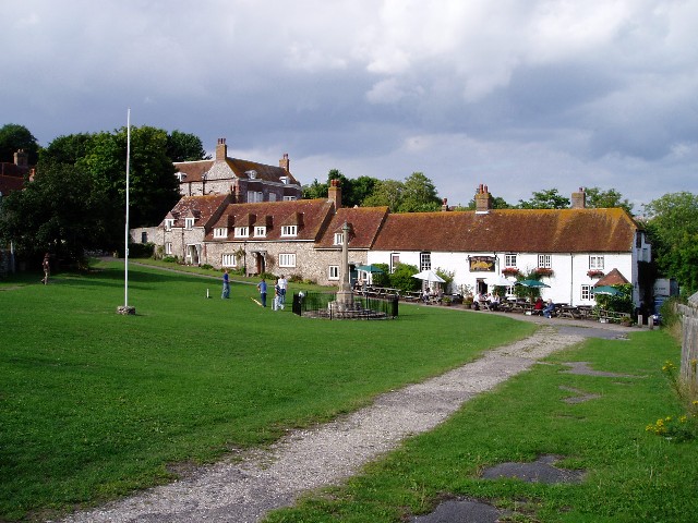
East Dean and Friston
East Dean and Friston is a civil parish in the Wealden District of East Sussex, England.The two villages in the parish are in a dry valley on the South...

SM UB-121
SM UB-121 was a German Type UB III submarine or U-boat in the German Imperial Navy (German: Kaiserliche Marine) during World War I. She was commissioned...
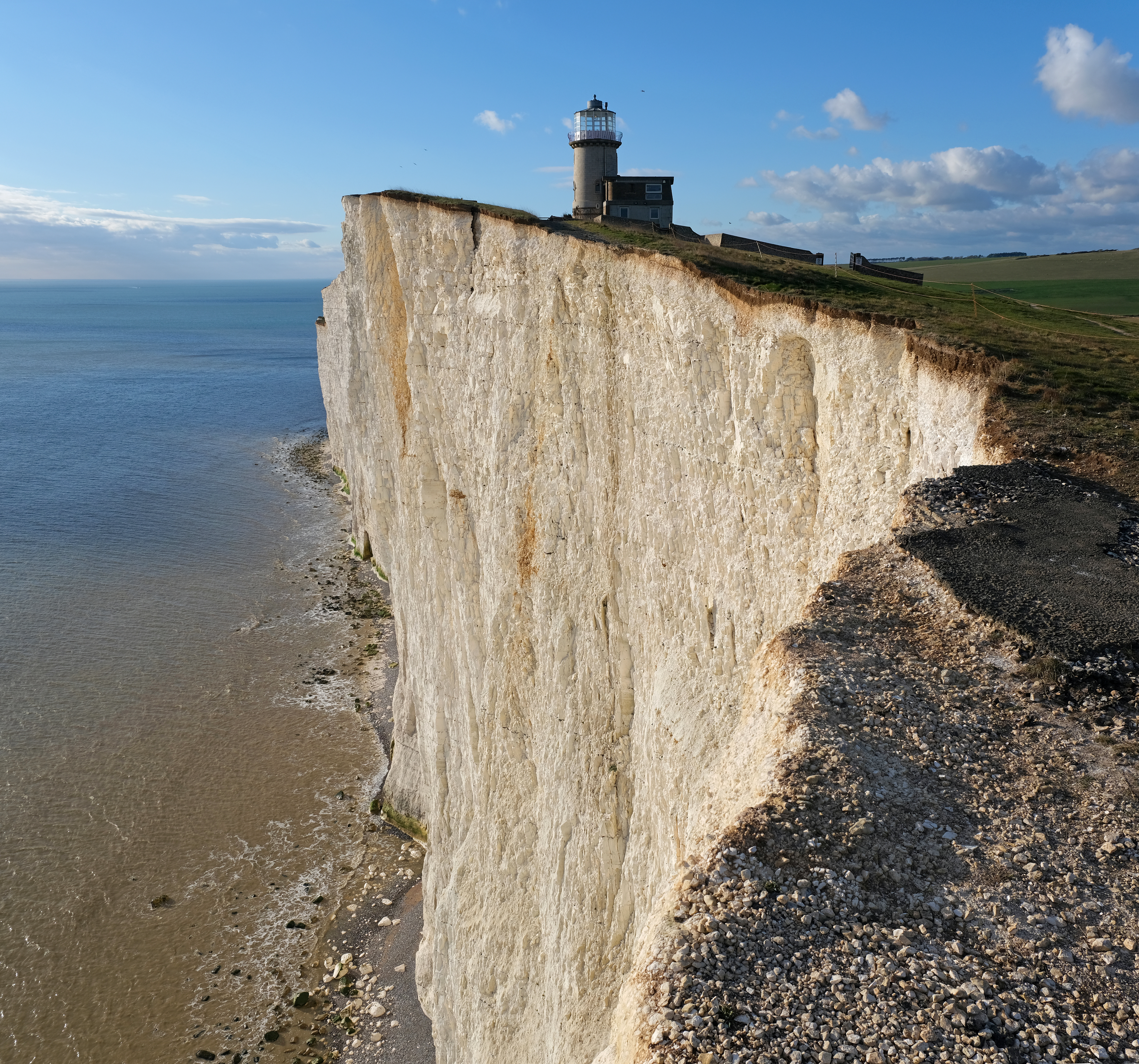
Belle Tout Lighthouse
The Belle Tout Lighthouse (also spelled Belle Toute) is a decommissioned lighthouse and British landmark located at Beachy Head, East Sussex, close to...

RAF Friston
Royal Air Force Friston or more simply RAF Friston is a former Royal Air Force satellite station and Emergency Landing Ground located in East Sussex, England...

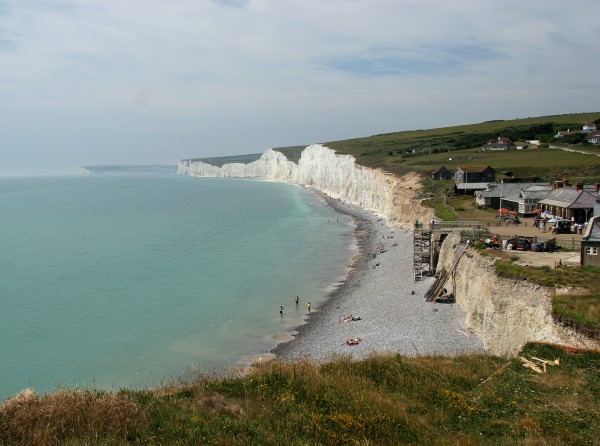
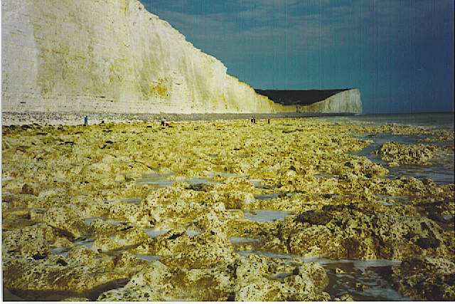
Seven Sisters, East Sussex
The Seven Sisters are a series of chalk sea cliffs on the English Channel coast, and are a stretch of the sea-eroded section of the South Downs range of...
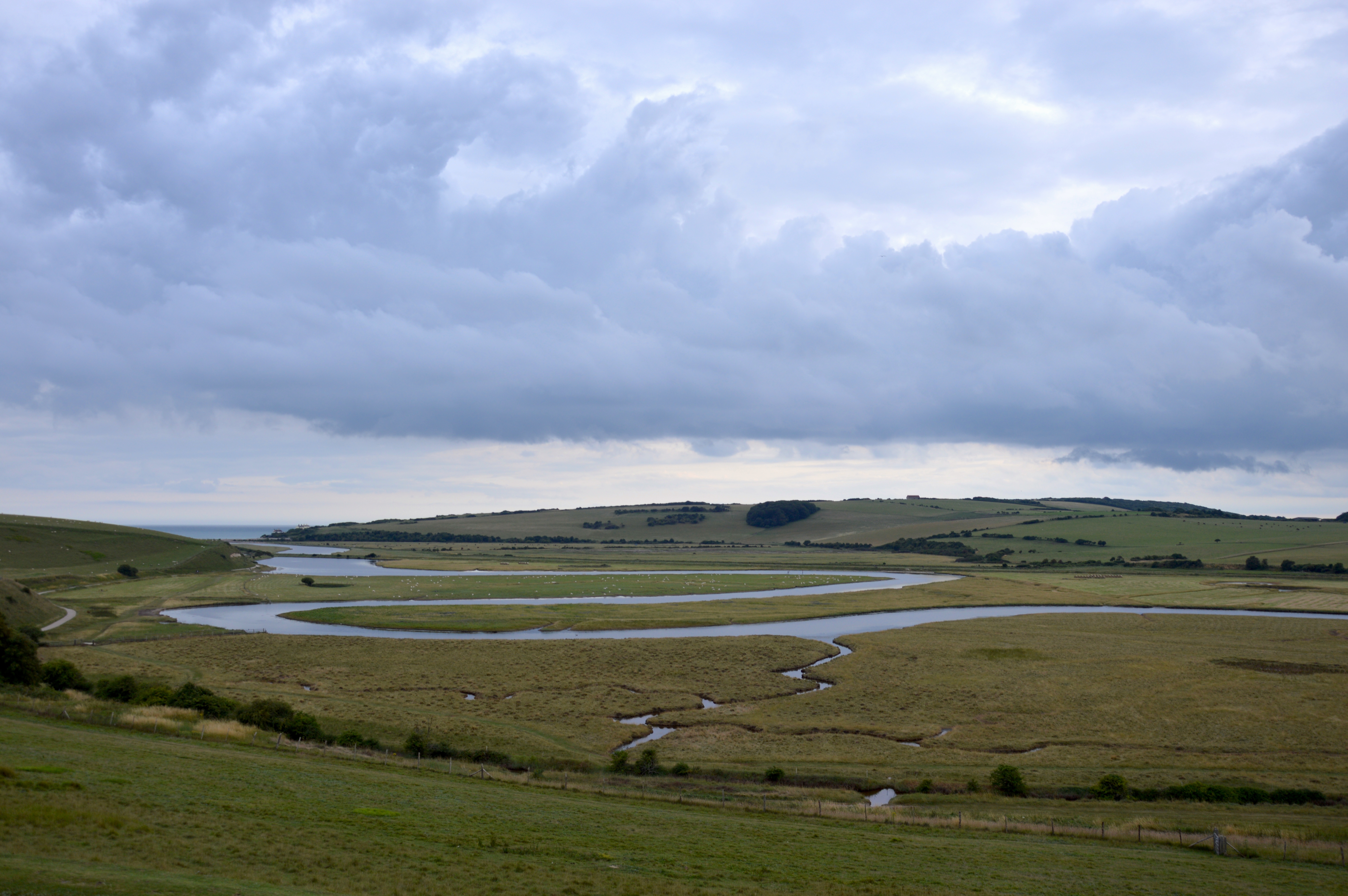
River Cuckmere
The River Cuckmere rises near Heathfield in East Sussex, England on the southern slopes of the Weald. The name of the river probably comes from an Old...
Nearby Amenities
Located within 500m of 50.751779,0.19243452Have you been to Baily's Hill?
Leave your review of Baily's Hill below (or comments, questions and feedback).