Flathill Bottom
Valley in Sussex Wealden
England
Flathill Bottom

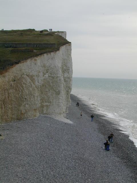
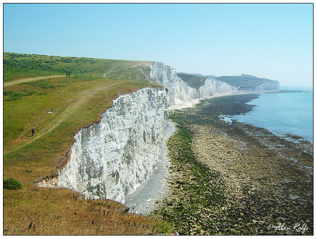
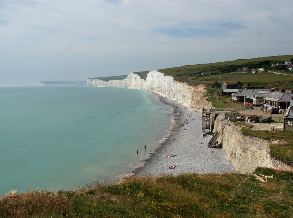
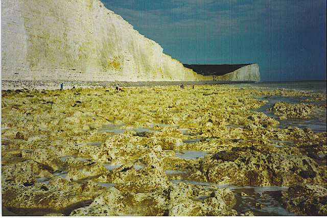
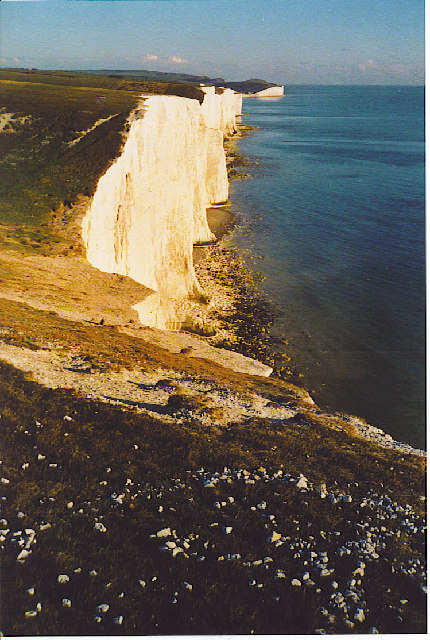
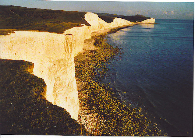
Flathill Bottom, located in Sussex, England, is a picturesque valley renowned for its natural beauty and rich history. Nestled in the South Downs National Park, this tranquil valley offers breathtaking views, diverse wildlife, and a peaceful atmosphere that attracts both locals and tourists alike.
The valley's name, Flathill Bottom, derives from its geographical features. It is situated between two gentle slopes, forming a flat bottom, which is ideal for farming and grazing livestock. The fertile soil and mild climate create favorable conditions for agriculture, making Flathill Bottom an important agricultural area.
Flathill Bottom is also home to a variety of flora and fauna. The valley's diverse habitats, including woodlands, meadows, and wetlands, provide a haven for numerous plant and animal species. Wildlife enthusiasts can spot deer, foxes, badgers, and an array of bird species, including kestrels and owls, in their natural habitat.
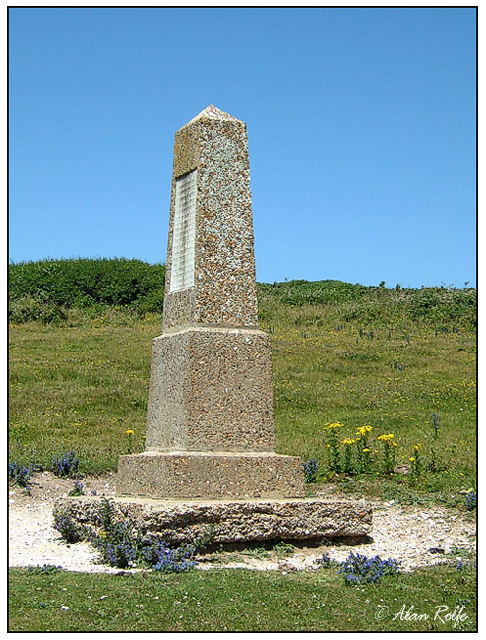
In addition to its natural beauty, Flathill Bottom has a rich historical heritage. The area boasts several ancient archaeological sites, including Iron Age hillforts and Roman settlements. These remnants of the past offer a glimpse into the valley's historical significance and provide opportunities for exploration and learning.
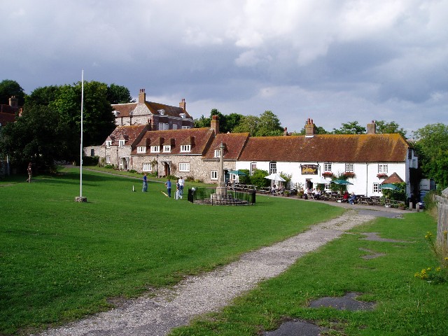
Visitors to Flathill Bottom can enjoy a range of outdoor activities. The valley offers numerous hiking and cycling trails that wind through its stunning landscapes, allowing visitors to immerse themselves in the beauty of nature. Additionally, the valley is dotted with charming villages and traditional pubs, where visitors can relax and savor the local cuisine.
Overall, Flathill Bottom is a captivating destination that combines natural beauty, wildlife, and history, making it a must-visit location for those seeking tranquility and a connection with the past.
If you have any feedback on the listing, please let us know in the comments section below.
Flathill Bottom Images
Images are sourced within 2km of 50.750808/0.18857553 or Grid Reference TV5496. Thanks to Geograph Open Source API. All images are credited.


Flathill Bottom is located at Grid Ref: TV5496 (Lat: 50.750808, Lng: 0.18857553)
Administrative County: East Sussex
District: Wealden
Police Authority: Sussex
What 3 Words
///flickers.luxury.fixture. Near Friston, East Sussex
Related Wikis

Seaford to Beachy Head
Seaford to Beachy Head is a 1,108.7-hectare (2,740-acre) biological and geological Site of Special Scientific Interest which stretches from Seaford to...

East Dean and Friston
East Dean and Friston is a civil parish in the Wealden District of East Sussex, England.The two villages in the parish are in a dry valley on the South...

Seven Sisters Sheep Centre
The Seven Sisters Sheep Centre was a farm near East Dean, in the Seven Sisters Country Park of the South Downs. It held a large collection of about 50...

SM UB-121
SM UB-121 was a German Type UB III submarine or U-boat in the German Imperial Navy (German: Kaiserliche Marine) during World War I. She was commissioned...

RAF Friston
Royal Air Force Friston or more simply RAF Friston is a former Royal Air Force satellite station and Emergency Landing Ground located in East Sussex, England...

Seven Sisters, East Sussex
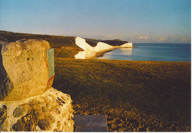
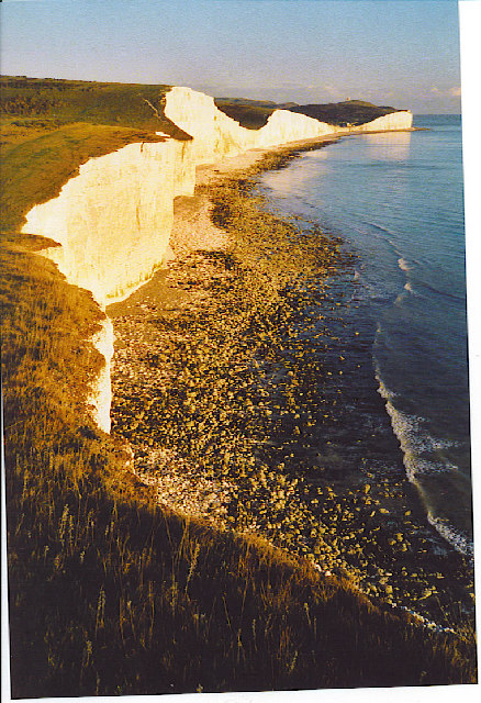
The Seven Sisters are a series of chalk sea cliffs on the English Channel coast, and are a stretch of the sea-eroded section of the South Downs range of...
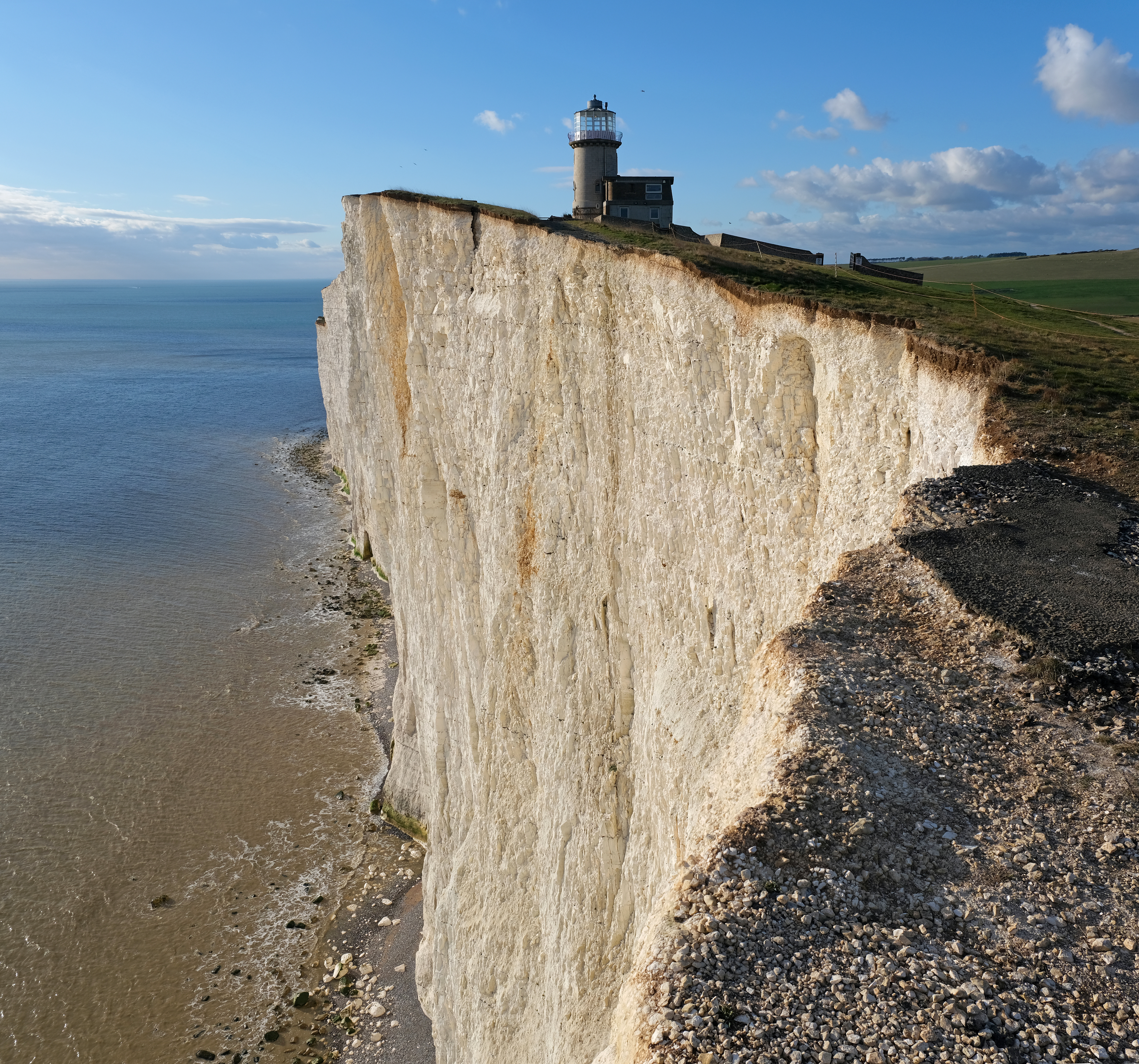
Belle Tout Lighthouse
The Belle Tout Lighthouse (also spelled Belle Toute) is a decommissioned lighthouse and British landmark located at Beachy Head, East Sussex, close to...
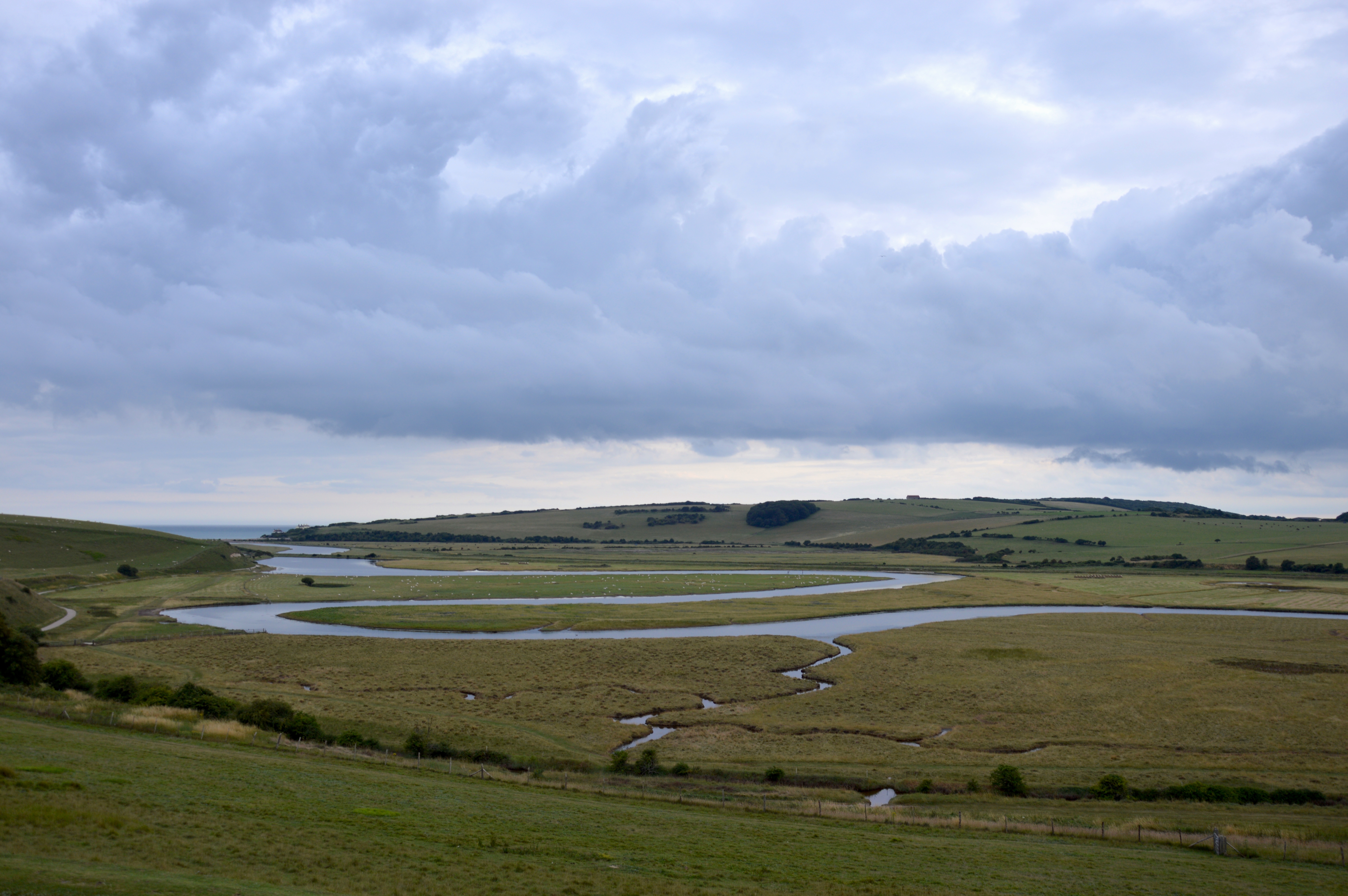
River Cuckmere
The River Cuckmere rises near Heathfield in East Sussex, England on the southern slopes of the Weald. The name of the river probably comes from an Old...
Nearby Amenities
Located within 500m of 50.750808,0.18857553Have you been to Flathill Bottom?
Leave your review of Flathill Bottom below (or comments, questions and feedback).