Round Hill
Hill, Mountain in Kent Sevenoaks
England
Round Hill

Round Hill is a prominent hill located in the county of Kent, England. Situated in the North Downs, it is part of the wider Kent Downs Area of Outstanding Natural Beauty. With an elevation of approximately 197 meters (646 feet), it offers stunning panoramic views of the surrounding countryside and the nearby towns of Maidstone and Tonbridge.
The hill itself is characterized by its rounded shape, hence the name "Round Hill." It is covered by a variety of vegetation, including grassland, woodland, and scrub, providing a diverse habitat for a range of flora and fauna. The area is particularly known for its rich biodiversity, with numerous species of wildflowers, birds, butterflies, and insects calling it home.
Round Hill is a popular destination for outdoor enthusiasts and nature lovers. It offers excellent opportunities for hiking, walking, and picnicking, with several well-marked trails crisscrossing its slopes. The hill's well-maintained footpaths and bridleways make it easily accessible for visitors of all ages and abilities.
Additionally, Round Hill is steeped in history and has several archaeological sites of interest. These include ancient burial mounds and remnants of Iron Age settlements, providing insights into the area's past inhabitants.
Overall, Round Hill in Kent is a picturesque and diverse natural landmark, offering a peaceful escape from the hustle and bustle of urban life. Its combination of stunning views, ecological importance, and historical significance make it a must-visit destination for both locals and tourists alike.
If you have any feedback on the listing, please let us know in the comments section below.
Round Hill Images
Images are sourced within 2km of 51.334252/0.21742676 or Grid Reference TQ5461. Thanks to Geograph Open Source API. All images are credited.


Round Hill is located at Grid Ref: TQ5461 (Lat: 51.334252, Lng: 0.21742676)
Administrative County: Kent
District: Sevenoaks
Police Authority: Kent
What 3 Words
///spirit.switch.origin. Near Otford, Kent
Nearby Locations
Related Wikis

Magpie Bottom
Magpie Bottom is a 51.9-hectare (128-acre) biological Site of Special Scientific Interest north of Sevenoaks in Kent.This steeply sloping area of chalk...

Romney Street
Romney Street is a hamlet in the civil parish of Shoreham, in the Sevenoaks district, in the English county of Kent. == Location == It is about 4 miles...

Otford to Shoreham Downs
Otford to Shoreham Downs is a 145.1-hectare (359-acre) biological Site of Special Scientific Interest between Kemsing and Eynesford in Kent. It is part...
East Hill, Kent
East Hill is a hamlet in the civil parish of West Kingsdown, in the Sevenoaks District, in the county of Kent in England. == Location == East Hill is about...

Fackenden Down
Fackenden Down is a 14-hectare (35-acre) nature reserve north of Sevenoaks in Kent. It is managed by the Kent Wildlife Trust. It is part of the Kent...
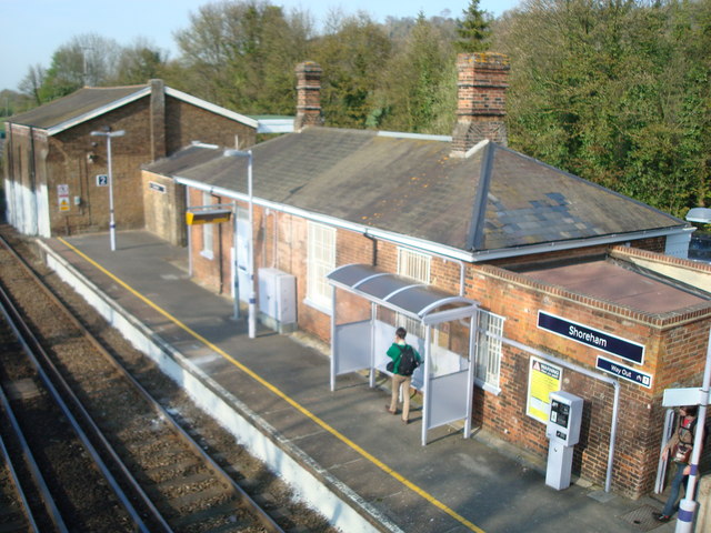
Shoreham railway station
Shoreham railway station serves Shoreham in Kent, England. It is 22 miles 52 chains (36.5 km) down the line from London Victoria and is situated between...

Knatts Valley
Knatts Valley is a hamlet situated in the West Kingsdown civil parish in the county of Kent, England. It was originally a rural community consisting mainly...

Preston Hill Country Park
Preston Hill Country Park is in Eynsford, in Kent, England. It is a woodland and former military firing range. Within the site of the park and woodland...
Nearby Amenities
Located within 500m of 51.334252,0.21742676Have you been to Round Hill?
Leave your review of Round Hill below (or comments, questions and feedback).