Salvington Hill

Hill, Mountain in Sussex Worthing

England

Salvington Hill

View west across Nepcote Green The building on the left is the Wattle House. It dates from the end of the 1700s when it was used to store wattle hurdles for the sheep pens used during the annual sheep fair. [<span class="nowrap"><a title="https://fancyfreewalks.org/W.Sussex/Findon.pdf" rel="nofollow ugc noopener" href="https://fancyfreewalks.org/W.Sussex/Findon.pdf">Link</a><img style="margin-left:2px;" alt="External link" title="External link - shift click to open in new window" src="https://s1.geograph.org.uk/img/external.png" width="10" height="10"/></span>]
View west across Nepcote Green Credit: Ian Cunliffe

Salvington Hill is a prominent landmark located in the county of West Sussex, England. Situated near the town of Worthing, it is considered more of a hill than a mountain, standing at an elevation of 81 meters (266 feet) above sea level. The hill is part of the South Downs, a range of chalk hills that stretches across southern England.

Rich in history, Salvington Hill has been inhabited since ancient times. Archaeological evidence suggests human activity in the area dates back to the Neolithic period, with burial mounds and other prehistoric remains found nearby. The hill also played a role in the Iron Age and Roman eras, serving as a defensive site and offering panoramic views over the surrounding landscape.

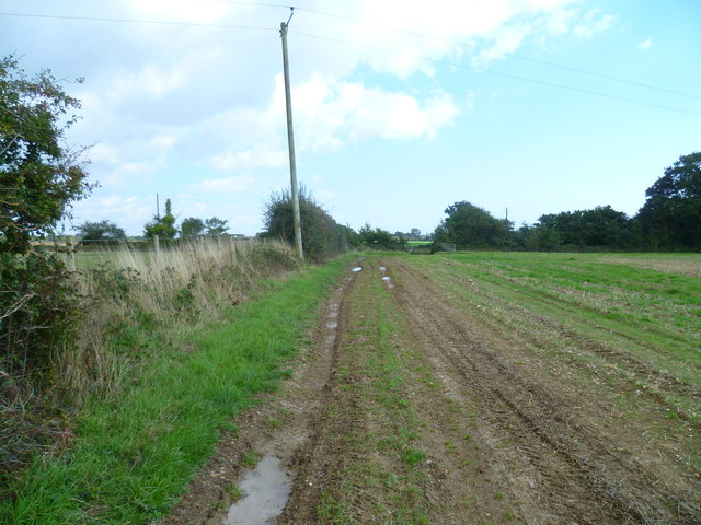
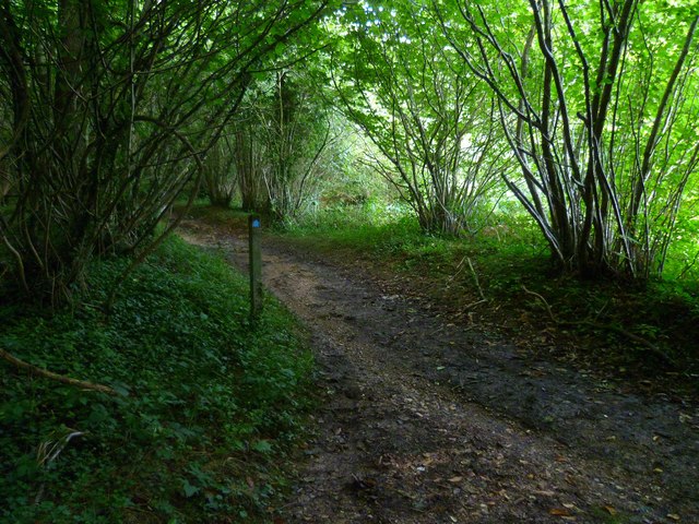
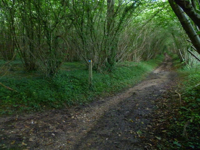
Today, Salvington Hill is a popular destination for locals and tourists alike due to its natural beauty and recreational opportunities. It features walking trails and footpaths that provide stunning vistas of the surrounding countryside, including the nearby English Channel. The hill is covered in grassland and scattered with trees, creating a picturesque setting for leisurely walks and picnics.

In addition to its natural attractions, Salvington Hill is home to a variety of wildlife, including birds, butterflies, and small mammals. It is also a designated Local Nature Reserve, ensuring the preservation and protection of its unique ecosystem.

Overall, Salvington Hill offers visitors a chance to immerse themselves in nature, explore the region's history, and enjoy breathtaking views of the Sussex countryside.

If you have any feedback on the listing, please let us know in the comments section below.

Salvington Hill Images

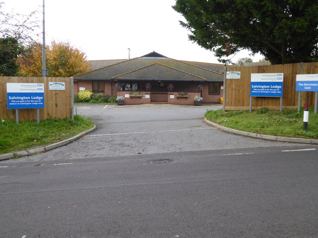
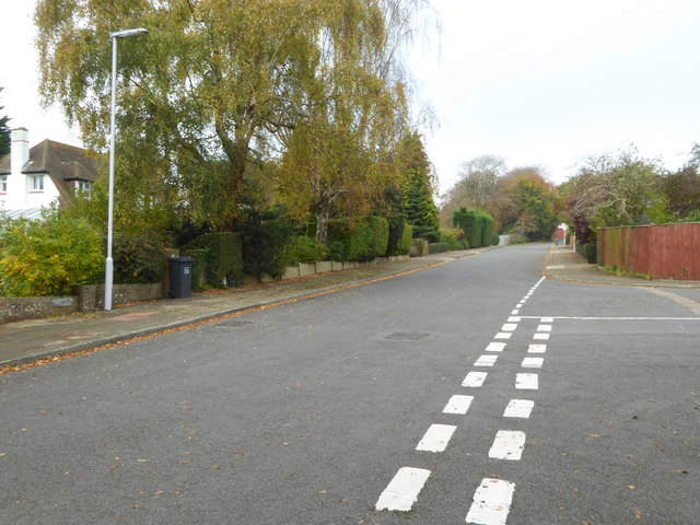
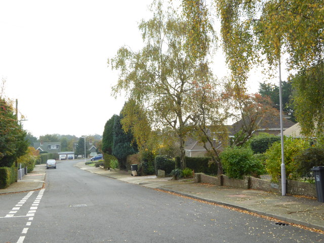
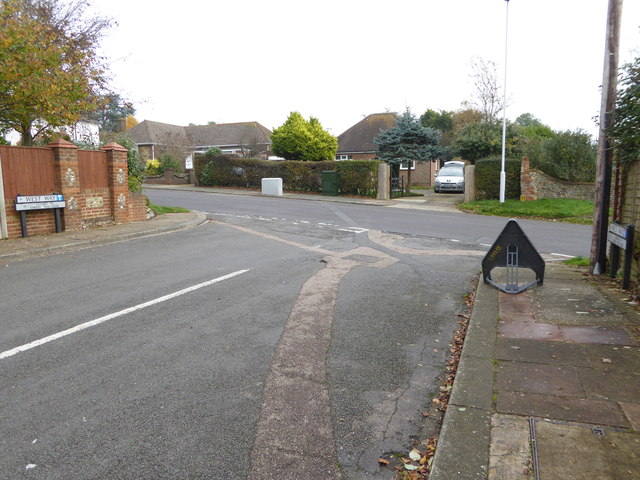
Images are sourced within 2km of 50.851215/-0.40816526 or Grid Reference TQ1206. Thanks to Geograph Open Source API. All images are credited.

View west across Nepcote Green The building on the left is the Wattle House. It dates from the end of the 1700s when it was used to store wattle hurdles for the sheep pens used during the annual sheep fair. [<span class="nowrap"><a title="https://fancyfreewalks.org/W.Sussex/Findon.pdf" rel="nofollow ugc noopener" href="https://fancyfreewalks.org/W.Sussex/Findon.pdf">Link</a><img style="margin-left:2px;" alt="External link" title="External link - shift click to open in new window" src="https://s1.geograph.org.uk/img/external.png" width="10" height="10"/></span>]
View west across Nepcote Green
The building on the left is the Wattle House. It dates from the end of the 1700s when it was used to store wattle hurdles for the sheep pens used during the annual sheep fair. [LinkExternal link]
Looking west on Grub Ride from bridleway crossing Quite high in the trees on the left is a notice declaring PRIVATE  and No public right of way.
Looking west on Grub Ride from bridleway crossing
Quite high in the trees on the left is a notice declaring PRIVATE and No public right of way.
Weatherbird by bridleway What sort of bird is it?
Weatherbird by bridleway
What sort of bird is it?
Bridleway passes Keepers Cottage See also <a title="https://www.geograph.org.uk/photo/3535503" href="https://www.geograph.org.uk/photo/3535503">Link</a>.
Bridleway passes Keepers Cottage
See also Link.
Weathercock by bridleway
Path east to bridleway It's a moot point as to which side of the hedge is the path.
Path east to bridleway
It's a moot point as to which side of the hedge is the path.
Footpath joins bridleway in Clapham Wood
Bridleway going northwards from footpath junction A view the other way is at <a title="https://www.geograph.org.uk/photo/2635796" href="https://www.geograph.org.uk/photo/2635796">Link</a>.
Bridleway going northwards from footpath junction
A view the other way is at Link.
Looking south on Salvington Hill
Entrance to Salvington Lodge
West Way looking north
West Way looking south
The eastern end of West Way at the junction with Salvington Hill
Looking into Lowther Road
Looking north on Durrington Lane
Cottages on Durrington Hill
"The Manor House" on Durrington Hill
Junction of Bramble Lane and Durrington Hill
Show me another place!

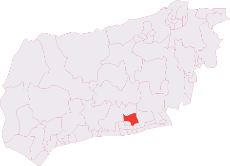
Salvington Hill is located at Grid Ref: TQ1206 (Lat: 50.851215, Lng: -0.40816526)

Administrative County: West Sussex

District: Worthing

Police Authority: Sussex

What 3 Words

///scramble.packages.cools. Near Findon, West Sussex

Related Wikis

High Salvington

High Salvington is a neighbourhood of Worthing, in the borough of Worthing in West Sussex, England. It is centred 2.5 miles (4.0 km) northwest of the town...

High Salvington Windmill

Durrington or High Salvington Windmill is a Grade II listed post mill in High Salvington, Sussex that has been restored and is in full working order....

Findon Valley

Findon Valley is a neighbourhood of Worthing, in the borough of Worthing in West Sussex, England. It lies on the A24 road 2.9 miles (4.7 km) north of the...

Cissbury (electoral division)

Cissbury is an electoral division of West Sussex in the United Kingdom, and returns one member to sit on West Sussex County Council. == Extent == The division...

Nearby Amenities

Located within 500m of 50.851215,-0.40816526
Created By: Potlatch 0.7
Man Made: tower
Lat/Long: 50.8540231/-0.4101692
Created By: Potlatch 0.7
Man Made: tower
Lat/Long: 50.8539527/-0.4111133
Noexit: yes
Lat/Long: 50.8479557/-0.4077856
High Salvington Windmill
Disused: no
Historic: monument
Man Made: windmill
Note Opening Hours: Su [1,3] 14:30-17:00 (Apr-Sep)
Opening Hours: Apr-Sep Su [1,3] 14:30-17:00
Operator: High Salvington Mill Trust
Owner: Worthing Borough Council
Ruins: no
Tourism: attraction
Website: https://highsalvingtonwindmill.co.uk/
Wikidata: Q15979008
Windmill Sweeps: yes
Lat/Long: 50.8486236/-0.4065459
Parking
Bost Hill Car Park
Lat/Long: 50.853626/-0.4052723
Post Box
Brand: Royal Mail
Brand Wikidata: Q638098
Brand Wikipedia: en:Royal Mail
Collection Plate: CP1
Collection Times: Mo-Fr 17:00; Sa 12:00
Operator: Royal Mail
Operator Wikidata: Q638098
Post Box Type: pillar
Ref: BN13 1778
Royal Cypher: GVIR
Royal Cypher Wikidata: Q33102169
Lat/Long: 50.8483332/-0.4094041
Bus Stop
Salvington Hill
Naptan AtcoCode: 4400WO0204
Naptan Bearing: E
Naptan CommonName: Salvington Hill
Naptan Indicator: adj
Naptan Landmark: Salvington Hill
Naptan NaptanCode: wsxdpadg
Naptan ShortCommonName: Salvington Hill
Naptan Street: Hayling Rise
Naptan Verified: no
Source: naptan_import
Lat/Long: 50.8467704/-0.4082667
Bus Stop
Furze Road
Naptan AtcoCode: 4400WO0205
Naptan Bearing: E
Naptan CommonName: Furze Road
Naptan Indicator: adj Salvington Hill
Naptan Landmark: Salvington Hill
Naptan NaptanCode: wsxdpadj
Naptan Street: Furze Road
Naptan Verified: no
Source: naptan_import
Lat/Long: 50.8485126/-0.4094008
Generator Output Electricity: yes
Generator Source: solar
Generator Type: solar_photovoltaic_panel
Location: roof
Power: generator
Lat/Long: 50.849885/-0.4088195
Generator Output Electricity: yes
Generator Source: solar
Generator Type: solar_photovoltaic_panel
Location: roof
Power: generator
Lat/Long: 50.8499189/-0.4104888
Generator Output Electricity: yes
Generator Source: solar
Generator Type: solar_photovoltaic_panel
Location: roof
Power: generator
Lat/Long: 50.8498211/-0.4110142
Generator Output Electricity: yes
Generator Source: solar
Generator Type: solar_photovoltaic_panel
Location: roof
Power: generator
Lat/Long: 50.8491196/-0.4109958
Generator Output Electricity: yes
Generator Source: solar
Generator Type: solar_photovoltaic_panel
Location: roof
Power: generator
Lat/Long: 50.8490293/-0.4072291
Generator Output Electricity: yes
Generator Source: solar
Generator Type: solar_photovoltaic_panel
Location: roof
Power: generator
Lat/Long: 50.84907/-0.4069743
Generator Output Electricity: yes
Generator Source: solar
Generator Type: solar_photovoltaic_panel
Location: roof
Power: generator
Lat/Long: 50.8483977/-0.4087982
Generator Output Electricity: yes
Generator Source: solar
Generator Type: solar_photovoltaic_panel
Location: roof
Power: generator
Lat/Long: 50.848153/-0.4074242
Generator Output Electricity: yes
Generator Source: solar
Generator Type: solar_photovoltaic_panel
Location: roof
Power: generator
Lat/Long: 50.8479946/-0.4043296
Generator Output Electricity: yes
Generator Source: solar
Generator Type: solar_photovoltaic_panel
Location: roof
Power: generator
Lat/Long: 50.8482449/-0.4053425
Generator Method: photovoltaic
Generator Output Electricity: yes
Generator Source: solar
Generator Type: solar_photovoltaic_panel
Location: roof
Power: generator
Lat/Long: 50.8516761/-0.4023694
Generator Method: photovoltaic
Generator Output Electricity: yes
Generator Source: solar
Generator Type: solar_photovoltaic_panel
Location: roof
Power: generator
Lat/Long: 50.8518319/-0.4016876
Generator Method: photovoltaic
Generator Output Electricity: yes
Generator Source: solar
Generator Type: solar_photovoltaic_panel
Location: roof
Power: generator
Lat/Long: 50.8492176/-0.4068703
Noexit: yes
Lat/Long: 50.8473977/-0.4064164
The data included in this document is from www.openstreetmap.org. The data is made available under ODbL.

Have you been to Salvington Hill?

Leave your review of Salvington Hill below (or comments, questions and feedback).