Salvington, High

Settlement in Sussex Worthing

England

Salvington, High

Border of the Southdown National Park Footpath next to a Hill Barn Golf Club.

Park info : <span class="nowrap"><a title="https://en.wikipedia.org/wiki/South_Downs_National_Park" rel="nofollow ugc noopener" href="https://en.wikipedia.org/wiki/South_Downs_National_Park">Link</a><img style="margin-left:2px;" alt="External link" title="External link - shift click to open in new window" src="https://s1.geograph.org.uk/img/external.png" width="10" height="10"/></span>
Border of the Southdown National Park Credit: James Emmans

Salvington is a small village located in the district of Worthing, West Sussex, England. Situated on the outskirts of the town of Worthing, Salvington is part of the civil parish of Findon Valley and has a population of around 3,000 residents. The village is nestled on the slopes of the South Downs National Park, offering stunning views of the surrounding countryside.

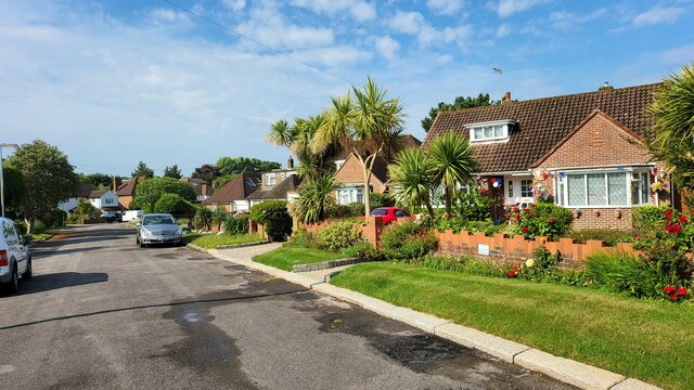
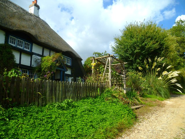
Salvington is known for its peaceful and picturesque atmosphere, making it a desirable place to live for those seeking a quiet and idyllic setting. The village boasts a mix of traditional and modern architecture, with a range of housing options available, including detached houses, semi-detached homes, and bungalows.

Despite its rural setting, Salvington benefits from excellent transport links, with nearby access to the A24 road and the A27 coastal route. The village is also served by regular bus services, connecting residents to nearby towns and cities.

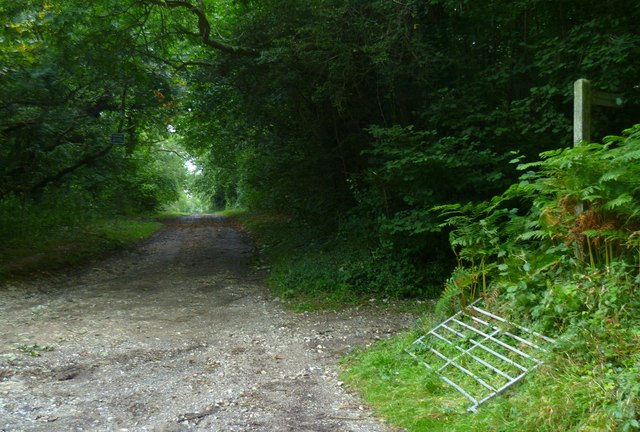
Salvington is well-equipped with local amenities, including a primary school, a village hall, and a small selection of shops and businesses. For leisure activities, residents can enjoy the nearby recreational spaces, such as Salvington Hill, which offers opportunities for walking, hiking, and enjoying the natural beauty of the area.

In summary, Salvington is a charming and tranquil village in West Sussex, offering a peaceful lifestyle in a beautiful countryside setting, while still benefiting from convenient transport links and local amenities.

If you have any feedback on the listing, please let us know in the comments section below.

Salvington, High Images

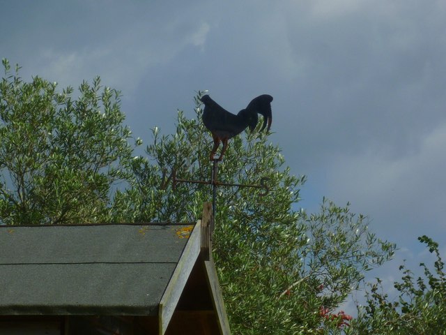
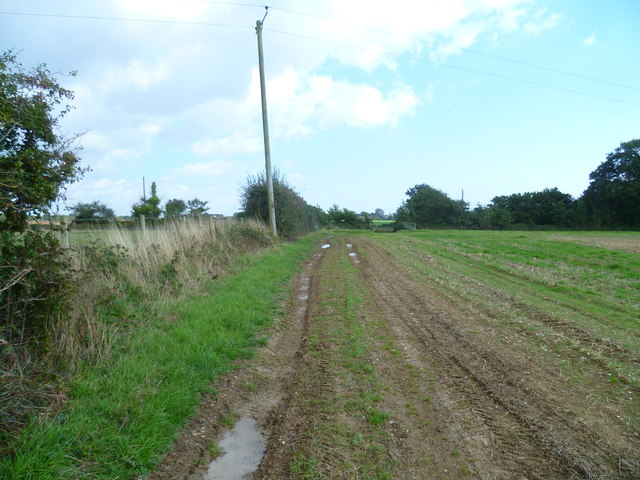
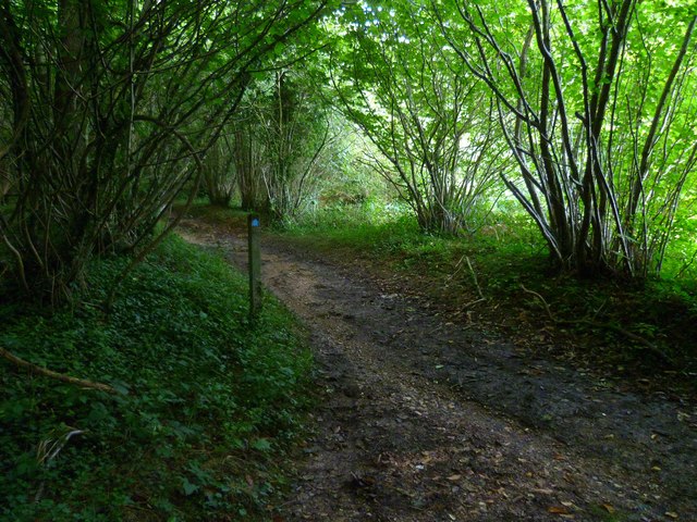
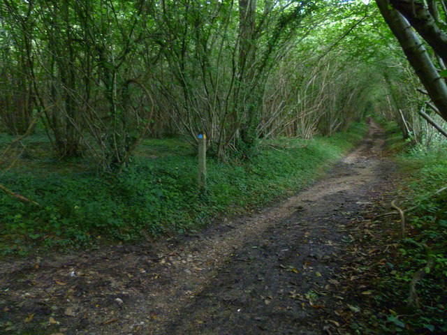
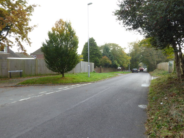
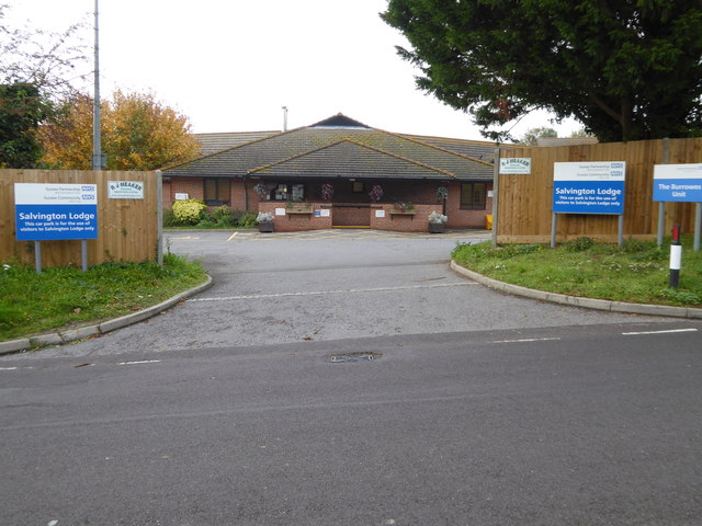
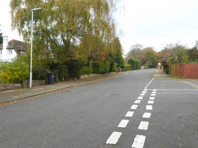
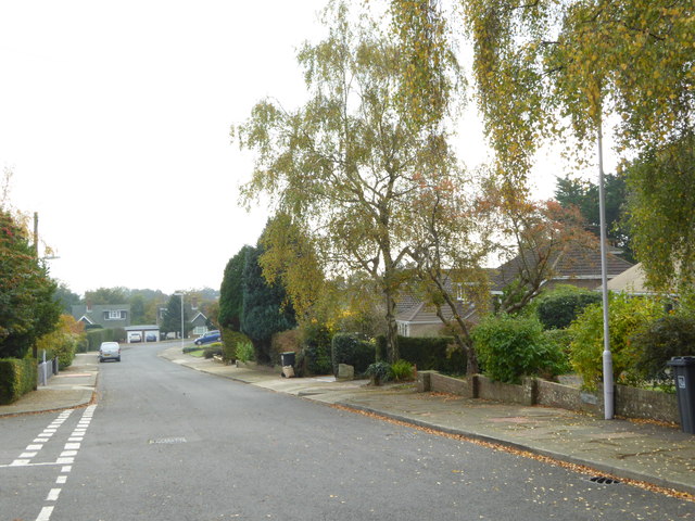
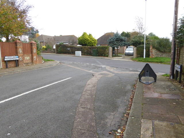
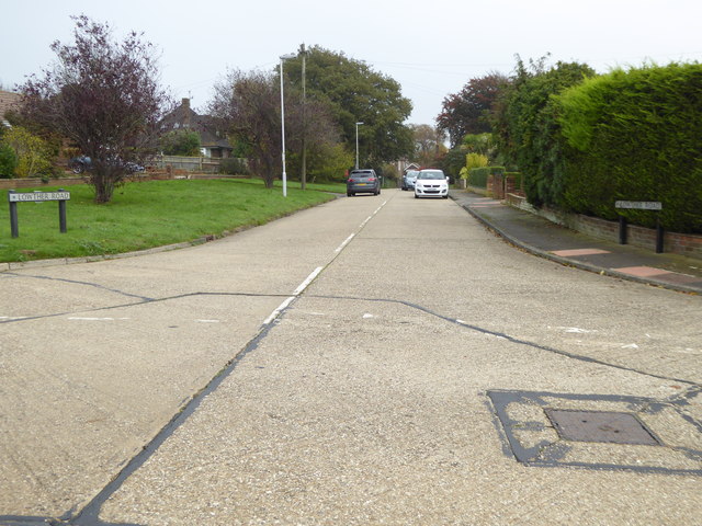
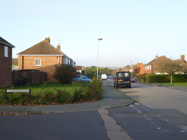
Images are sourced within 2km of 50.846172/-0.406648 or Grid Reference TQ1206. Thanks to Geograph Open Source API. All images are credited.

Border of the Southdown National Park Footpath next to a Hill Barn Golf Club.

Park info : <span class="nowrap"><a title="https://en.wikipedia.org/wiki/South_Downs_National_Park" rel="nofollow ugc noopener" href="https://en.wikipedia.org/wiki/South_Downs_National_Park">Link</a><img style="margin-left:2px;" alt="External link" title="External link - shift click to open in new window" src="https://s1.geograph.org.uk/img/external.png" width="10" height="10"/></span>
Border of the Southdown National Park
Footpath next to a Hill Barn Golf Club. Park info : LinkExternal link
Bungalows in Hillside Avenue Housing on the edge of Worthing.
Bungalows in Hillside Avenue
Housing on the edge of Worthing.
Looking west on Grub Ride from bridleway crossing Quite high in the trees on the left is a notice declaring PRIVATE  and No public right of way.
Looking west on Grub Ride from bridleway crossing
Quite high in the trees on the left is a notice declaring PRIVATE and No public right of way.
Weatherbird by bridleway What sort of bird is it?
Weatherbird by bridleway
What sort of bird is it?
Bridleway passes Keepers Cottage See also <a title="https://www.geograph.org.uk/photo/3535503" href="https://www.geograph.org.uk/photo/3535503">Link</a>.
Bridleway passes Keepers Cottage
See also Link.
Weathercock by bridleway
Path east to bridleway It's a moot point as to which side of the hedge is the path.
Path east to bridleway
It's a moot point as to which side of the hedge is the path.
Footpath joins bridleway in Clapham Wood
Bridleway going northwards from footpath junction A view the other way is at <a title="https://www.geograph.org.uk/photo/2635796" href="https://www.geograph.org.uk/photo/2635796">Link</a>.
Bridleway going northwards from footpath junction
A view the other way is at Link.
Looking south on Salvington Hill
Entrance to Salvington Lodge
West Way looking north
West Way looking south
The eastern end of West Way at the junction with Salvington Hill
Looking into Lowther Road
Looking into The Glen
Looking east on Offington Avenue
Looking north on Roedean Road
Show me another place!

Salvington, High is located at Grid Ref: TQ1206 (Lat: 50.846172, Lng: -0.406648)

Administrative County: West Sussex

District: Worthing

Police Authority: Sussex

What 3 Words

///melons.stiletto.dancer. Near Findon, West Sussex

Related Wikis

High Salvington Windmill

Durrington or High Salvington Windmill is a Grade II listed post mill in High Salvington, Sussex that has been restored and is in full working order....

High Salvington

High Salvington is a neighbourhood of Worthing, in the borough of Worthing in West Sussex, England. It is centred 2.5 miles (4.0 km) northwest of the town...

Findon Valley

Findon Valley is a neighbourhood of Worthing, in the borough of Worthing in West Sussex, England. It lies on the A24 road 2.9 miles (4.7 km) north of the...

Cote, West Sussex

Cote (also Walcote or Coate) was a hamlet in the former parish of Durrington, West Sussex (now a suburb of Worthing), England. It is 3 miles (4.8 km) northwest...

Nearby Amenities

Located within 500m of 50.846172,-0.406648
High Salvington
Is In: West Sussex, England, UK
Place: suburb
Source: npe
Wikidata: Q5756406
Lat/Long: 50.8464322/-0.4071486
Turning Circle
Lat/Long: 50.8456673/-0.4036142
Noexit: yes
Lat/Long: 50.8479557/-0.4077856
High Salvington Windmill
Disused: no
Historic: monument
Man Made: windmill
Note Opening Hours: Su [1,3] 14:30-17:00 (Apr-Sep)
Opening Hours: Apr-Sep Su [1,3] 14:30-17:00
Operator: High Salvington Mill Trust
Owner: Worthing Borough Council
Ruins: no
Tourism: attraction
Website: https://highsalvingtonwindmill.co.uk/
Wikidata: Q15979008
Windmill Sweeps: yes
Lat/Long: 50.8486236/-0.4065459
Post Box
Brand: Royal Mail
Brand Wikidata: Q638098
Brand Wikipedia: en:Royal Mail
Collection Plate: CP1
Collection Times: Mo-Fr 17:00; Sa 12:00
Operator: Royal Mail
Operator Wikidata: Q638098
Post Box Type: pillar
Ref: BN13 1778
Royal Cypher: GVIR
Royal Cypher Wikidata: Q33102169
Lat/Long: 50.8483332/-0.4094041
Post Box
Brand: Royal Mail
Brand Wikidata: Q638098
Brand Wikipedia: en:Royal Mail
Operator: Royal Mail
Operator Wikidata: Q638098
Ref: BN13 1777
Lat/Long: 50.8448697/-0.4087873
Bus Stop
Woodland Avenue
Naptan AtcoCode: 4400WO0202
Naptan Bearing: S
Naptan CommonName: Woodland Avenue
Naptan Indicator: adj
Naptan Landmark: Woodland Avenue
Naptan NaptanCode: wsxdmwtw
Naptan ShortCommonName: Woodland Avenue
Naptan Street: Hayling Rise
Naptan Verified: no
Source: naptan_import
Lat/Long: 50.8440377/-0.4044108
Bus Stop
Hayling Gardens
Naptan AtcoCode: 4400WO0203
Naptan Bearing: S
Naptan CommonName: Hayling Gardens
Naptan Indicator: adj
Naptan Landmark: Newling Way
Naptan NaptanCode: wsxdpada
Naptan ShortCommonName: Hayling Gardens
Naptan Street: Hayling Rise
Naptan Verified: no
Source: naptan_import
Lat/Long: 50.8456023/-0.4050535
Bus Stop
Salvington Hill
Naptan AtcoCode: 4400WO0204
Naptan Bearing: E
Naptan CommonName: Salvington Hill
Naptan Indicator: adj
Naptan Landmark: Salvington Hill
Naptan NaptanCode: wsxdpadg
Naptan ShortCommonName: Salvington Hill
Naptan Street: Hayling Rise
Naptan Verified: no
Source: naptan_import
Lat/Long: 50.8467704/-0.4082667
Bus Stop
Furze Road
Naptan AtcoCode: 4400WO0205
Naptan Bearing: E
Naptan CommonName: Furze Road
Naptan Indicator: adj Salvington Hill
Naptan Landmark: Salvington Hill
Naptan NaptanCode: wsxdpadj
Naptan Street: Furze Road
Naptan Verified: no
Source: naptan_import
Lat/Long: 50.8485126/-0.4094008
Bus Stop
Salvington Hill
Naptan AtcoCode: 4400WO0206
Naptan Bearing: S
Naptan CommonName: Salvington Hill
Naptan Indicator: opp. Cherry Walk
Naptan Landmark: Cherry Walk
Naptan NaptanCode: wsxdpadm
Naptan Street: Salvington Hill
Naptan Verified: no
Source: naptan_import
Lat/Long: 50.8451497/-0.4087907
Bus Stop
Cherry Walk
Naptan AtcoCode: 4400WO0207
Naptan Bearing: N
Naptan CommonName: Cherry Walk
Naptan Indicator: adj
Naptan Landmark: Cherry Walk
Naptan NaptanCode: wsxdpadp
Naptan ShortCommonName: Cherry Walk
Naptan Street: Salvington Hill
Naptan Verified: no
Source: naptan_import
Lat/Long: 50.8448558/-0.4089995
Bus Stop
West Way
Naptan AtcoCode: 4400WO0208
Naptan Bearing: N
Naptan CommonName: West Way
Naptan Indicator: adj
Naptan Landmark: West Way
Naptan NaptanCode: wsxdpadt
Naptan ShortCommonName: West Way
Naptan Street: Salvington Hill
Naptan Verified: no
Source: naptan_import
Lat/Long: 50.8437376/-0.4094353
Salvington Hill
Naptan AtcoCode: 4400WO0468
Naptan Bearing: W
Naptan BusStopType: CUS
Naptan CommonName: Salvington Hill
Naptan Indicator: Adj Salvington Hill
Naptan Landmark: Salvington Hill
Naptan Street: Hayling Rise
Naptan Verified: no
Source: naptan_import
Lat/Long: 50.8466015/-0.4084145
Post Box
Brand: Royal Mail
Brand Wikidata: Q638098
Brand Wikipedia: en:Royal Mail
Collection Plate: CP7D
Collection Times: Mo-Fr 09:00; Sa 07:00
Note: This postbox is of a brand new EIIR lamp design.
Operator: Royal Mail
Operator Wikidata: Q638098
Post Box Type: lamp
Ref: BN13 1779D
Royal Cypher: EIIR
Royal Cypher Wikidata: Q33102113
Lat/Long: 50.8468268/-0.4032223
Post Box
Brand: Royal Mail
Brand Wikidata: Q638098
Brand Wikipedia: en:Royal Mail
Collection Plate: CP1D
Collection Times: Mo-Fr 09:00; Sa 07:00
Operator: Royal Mail
Operator Wikidata: Q638098
Post Box Type: wall
Ref: BN13 1764D
Royal Cypher: EIIR
Royal Cypher Wikidata: Q33102113
Lat/Long: 50.8443671/-0.402376
Generator Output Electricity: yes
Generator Source: solar
Generator Type: solar_photovoltaic_panel
Location: roof
Power: generator
Lat/Long: 50.849885/-0.4088195
Generator Output Electricity: yes
Generator Source: solar
Generator Type: solar_photovoltaic_panel
Location: roof
Power: generator
Lat/Long: 50.8499189/-0.4104888
Generator Output Electricity: yes
Generator Source: solar
Generator Type: solar_photovoltaic_panel
Location: roof
Power: generator
Lat/Long: 50.8491196/-0.4109958
Generator Output Electricity: yes
Generator Source: solar
Generator Type: solar_photovoltaic_panel
Location: roof
Power: generator
Lat/Long: 50.8490293/-0.4072291
Generator Output Electricity: yes
Generator Source: solar
Generator Type: solar_photovoltaic_panel
Location: roof
Power: generator
Lat/Long: 50.84907/-0.4069743
Generator Output Electricity: yes
Generator Source: solar
Generator Type: solar_photovoltaic_panel
Location: roof
Power: generator
Lat/Long: 50.8483977/-0.4087982
Generator Output Electricity: yes
Generator Source: solar
Generator Type: solar_photovoltaic_panel
Location: roof
Power: generator
Lat/Long: 50.848153/-0.4074242
Generator Output Electricity: yes
Generator Source: solar
Generator Type: solar_photovoltaic_panel
Location: roof
Power: generator
Lat/Long: 50.8479946/-0.4043296
Generator Output Electricity: yes
Generator Source: solar
Generator Type: solar_photovoltaic_panel
Location: roof
Power: generator
Lat/Long: 50.8482449/-0.4053425
Generator Output Electricity: yes
Generator Source: solar
Generator Type: solar_photovoltaic_panel
Location: roof
Power: generator
Lat/Long: 50.8465614/-0.4076604
Generator Output Electricity: yes
Generator Source: solar
Generator Type: solar_photovoltaic_panel
Location: roof
Power: generator
Lat/Long: 50.8456813/-0.4020926
Generator Method: photovoltaic
Generator Output Electricity: yes
Generator Source: solar
Generator Type: solar_photovoltaic_panel
Location: roof
Power: generator
Lat/Long: 50.8432192/-0.4041492
Generator Method: photovoltaic
Generator Output Electricity: yes
Generator Source: solar
Generator Type: solar_photovoltaic_panel
Location: roof
Power: generator
Lat/Long: 50.8438454/-0.4055125
Generator Method: photovoltaic
Generator Output Electricity: yes
Generator Source: solar
Generator Type: solar_photovoltaic_panel
Location: roof
Power: generator
Lat/Long: 50.8432247/-0.4062608
Generator Method: photovoltaic
Generator Output Electricity: yes
Generator Source: solar
Generator Type: solar_photovoltaic_panel
Location: roof
Power: generator
Lat/Long: 50.8420551/-0.4062363
Generator Method: photovoltaic
Generator Output Electricity: yes
Generator Source: solar
Generator Type: solar_photovoltaic_panel
Location: roof
Power: generator
Lat/Long: 50.8461944/-0.4123843
Generator Method: photovoltaic
Generator Output Electricity: yes
Generator Source: solar
Generator Type: solar_photovoltaic_panel
Location: roof
Power: generator
Lat/Long: 50.846186/-0.4120812
Generator Method: photovoltaic
Generator Output Electricity: yes
Generator Source: solar
Generator Type: solar_photovoltaic_panel
Location: roof
Power: generator
Lat/Long: 50.8492176/-0.4068703
Generator Method: photovoltaic
Generator Output Electricity: yes
Generator Source: solar
Generator Type: solar_photovoltaic_panel
Location: roof
Power: generator
Lat/Long: 50.8461337/-0.403995
Generator Method: photovoltaic
Generator Output Electricity: yes
Generator Source: solar
Generator Type: solar_photovoltaic_panel
Location: roof
Power: generator
Lat/Long: 50.8439584/-0.4006495
Noexit: yes
Lat/Long: 50.8473977/-0.4064164
The data included in this document is from www.openstreetmap.org. The data is made available under ODbL.

Have you been to Salvington, High?

Leave your review of Salvington, High below (or comments, questions and feedback).