High Salvington
Settlement in Sussex Worthing
England
High Salvington

High Salvington is a small village located in the county of West Sussex, England. Situated on the outskirts of the town of Worthing, it is nestled on the slopes of the South Downs, offering breathtaking views of the surrounding countryside and the English Channel.
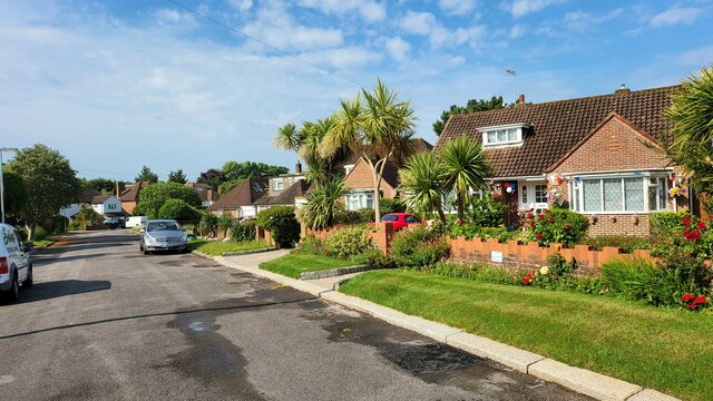
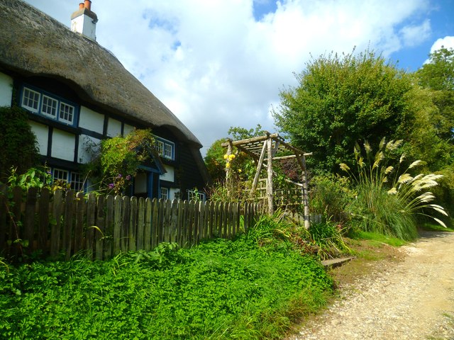
The village is primarily known for its historic charm and rural character. It features a mix of traditional and modern properties, with many buildings dating back to the 18th and 19th centuries. The centerpiece of High Salvington is St. Mary's Church, a beautiful Norman church that dates back to the 12th century, providing a glimpse into the village's rich history.
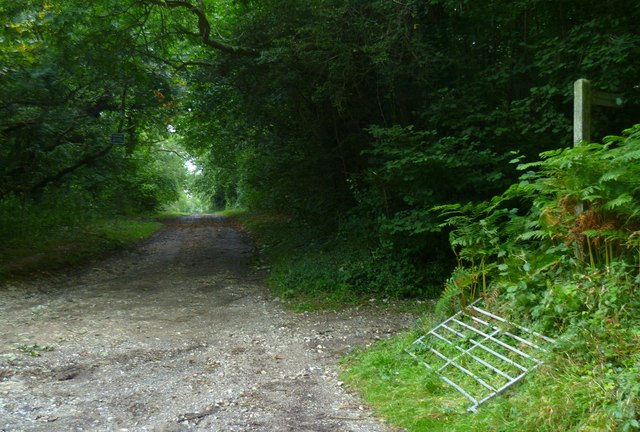
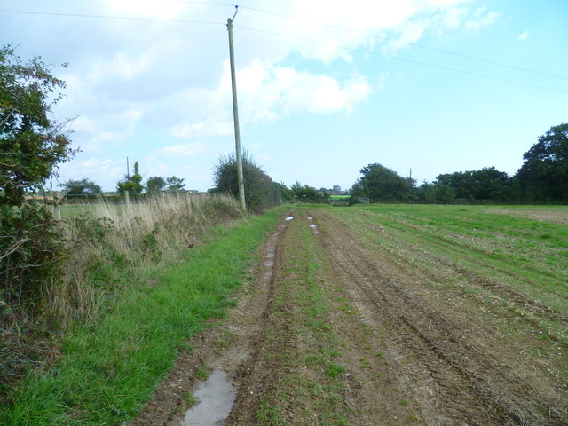
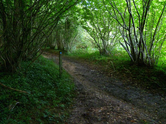
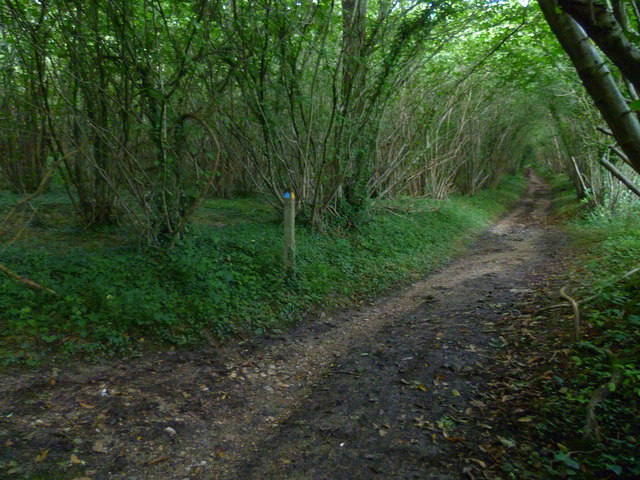
Surrounded by lush green fields and rolling hills, High Salvington is a haven for outdoor enthusiasts. The village is intersected by numerous footpaths and bridleways, making it an ideal location for hiking, cycling, and horse riding. The nearby South Downs National Park provides further opportunities for exploration and outdoor activities.
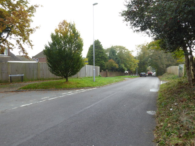
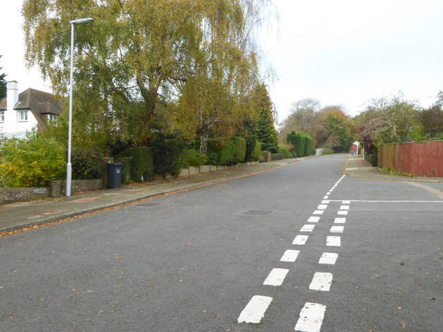
Despite its rural setting, High Salvington is conveniently located close to amenities. The nearby town of Worthing offers a range of shops, restaurants, and entertainment options, while the city of Brighton is only a short drive away. The village also benefits from excellent transport links, with easy access to major roads and a nearby railway station.
High Salvington is a peaceful and picturesque village that offers a tranquil escape from the hustle and bustle of city life. With its stunning natural surroundings and rich history, it is a place that appeals to both residents and visitors seeking a quintessentially English experience.
If you have any feedback on the listing, please let us know in the comments section below.
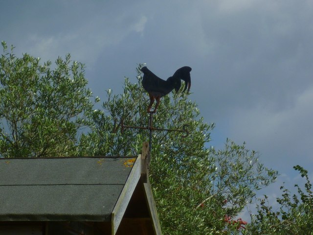
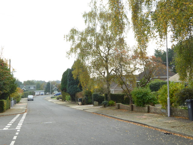
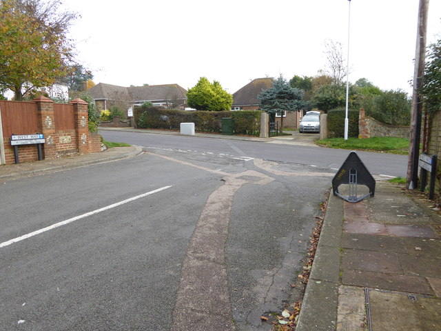
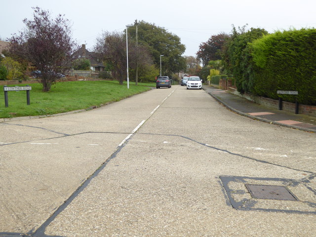
High Salvington Images
Images are sourced within 2km of 50.846172/-0.406648 or Grid Reference TQ1206. Thanks to Geograph Open Source API. All images are credited.


High Salvington is located at Grid Ref: TQ1206 (Lat: 50.846172, Lng: -0.406648)
Administrative County: West Sussex
District: Worthing
Police Authority: Sussex
What 3 Words
///melons.stiletto.dancer. Near Findon, West Sussex
Nearby Locations
Related Wikis

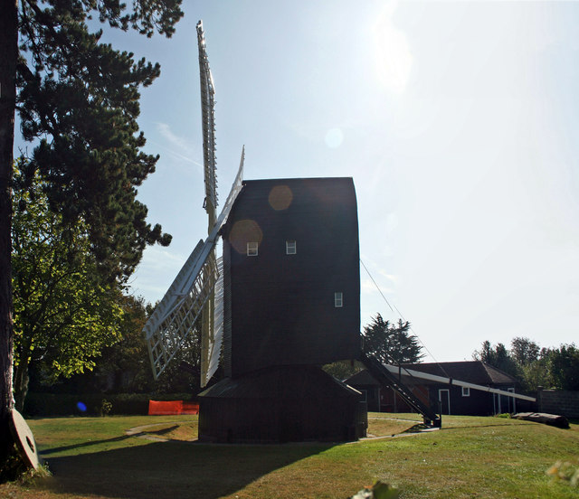
High Salvington Windmill
Durrington or High Salvington Windmill is a Grade II listed post mill in High Salvington, Sussex that has been restored and is in full working order....
High Salvington
High Salvington is a neighbourhood of Worthing, in the borough of Worthing in West Sussex, England. It is centred 2.5 miles (4.0 km) northwest of the town...

Findon Valley
Findon Valley is a neighbourhood of Worthing, in the borough of Worthing in West Sussex, England. It lies on the A24 road 2.9 miles (4.7 km) north of the...

Cote, West Sussex
Cote (also Walcote or Coate) was a hamlet in the former parish of Durrington, West Sussex (now a suburb of Worthing), England. It is 3 miles (4.8 km) northwest...
Nearby Amenities
Located within 500m of 50.846172,-0.406648Have you been to High Salvington?
Leave your review of High Salvington below (or comments, questions and feedback).