Hamilton Hill
Hill, Mountain in Lincolnshire West Lindsey
England
Hamilton Hill
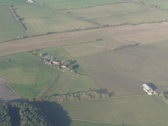
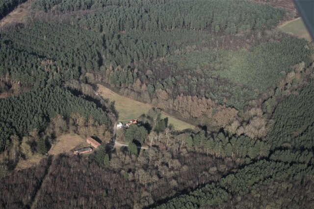
Hamilton Hill is a prominent geographical feature located in the county of Lincolnshire, England. Situated near the village of Hamilton, the hill is part of the Lincolnshire Wolds, an Area of Outstanding Natural Beauty. Standing at an elevation of approximately 168 meters (551 feet), Hamilton Hill offers breathtaking panoramic views of the surrounding landscape.
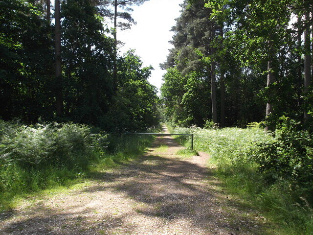
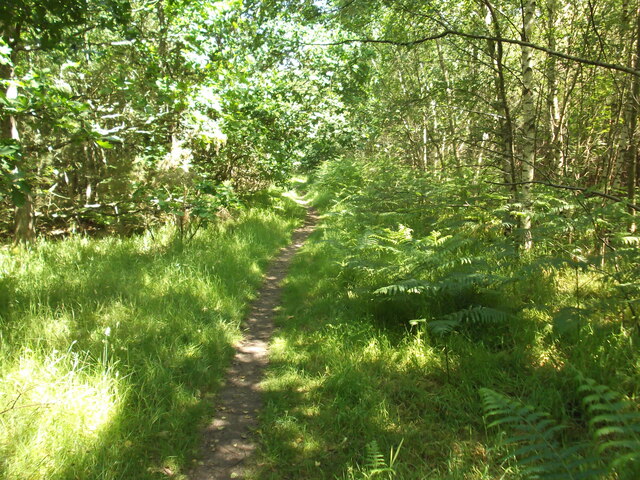
Covered in lush greenery, the hill is primarily comprised of chalk, giving it a distinctive white appearance. It is a popular destination for nature enthusiasts, hikers, and photographers due to its scenic beauty and serene atmosphere. The hill provides a range of walking trails, allowing visitors to explore its diverse flora and fauna.
Hamilton Hill also holds historical significance, with evidence of Iron Age settlement and burial mounds found in the vicinity. Archaeological excavations have revealed artifacts dating back thousands of years, providing insight into the region's ancient past.
The hill is easily accessible by road, with a car park located nearby for visitors' convenience. It is a popular spot for picnics, offering a tranquil setting for families and friends to relax and enjoy the picturesque surroundings.
Overall, Hamilton Hill in Lincolnshire is a remarkable natural landmark, offering visitors a chance to immerse themselves in the beauty of the Lincolnshire Wolds, explore its historical roots, and appreciate the stunning vistas it provides.
If you have any feedback on the listing, please let us know in the comments section below.
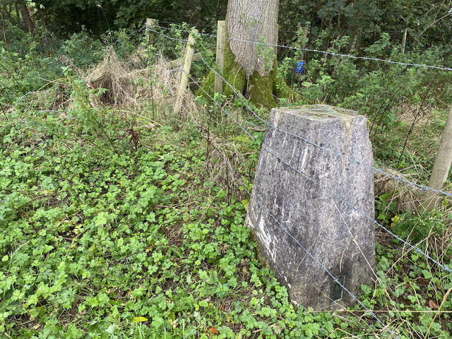
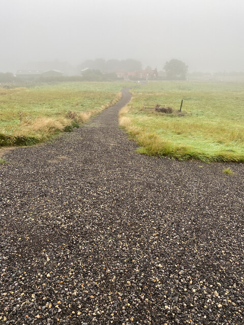
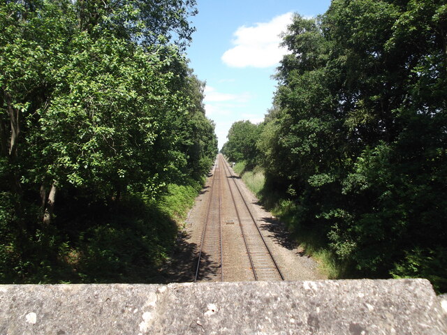
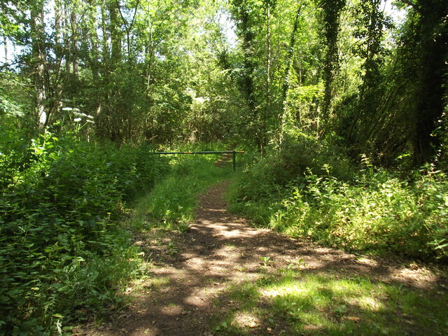
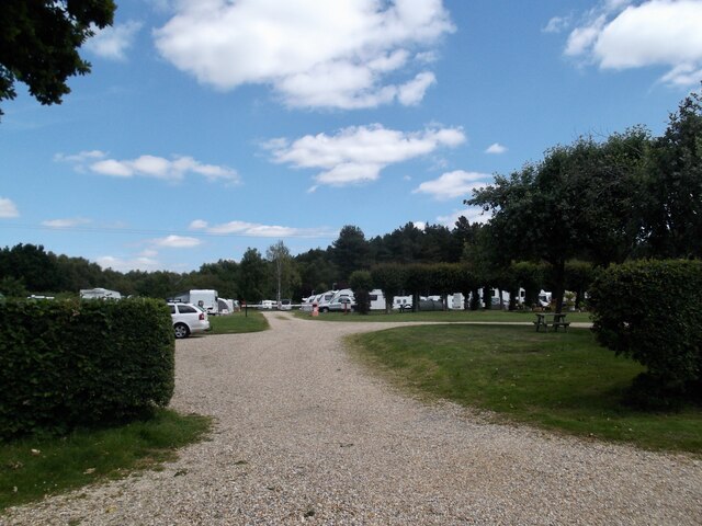
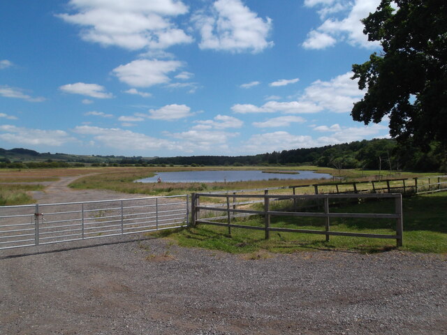
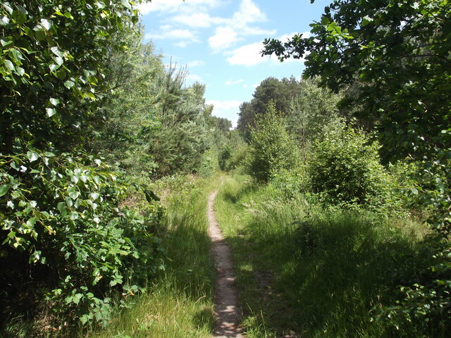
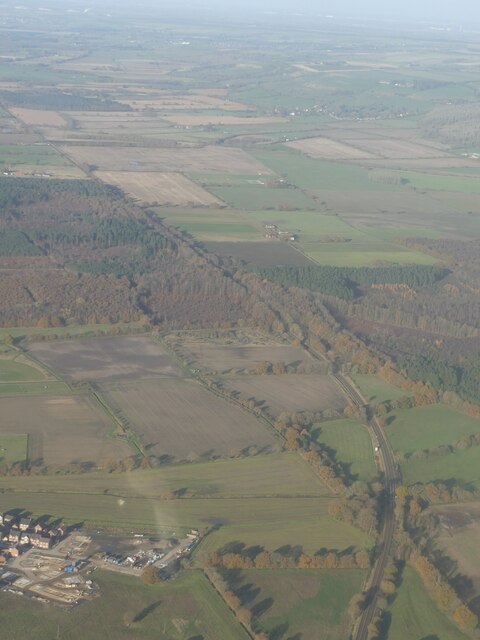
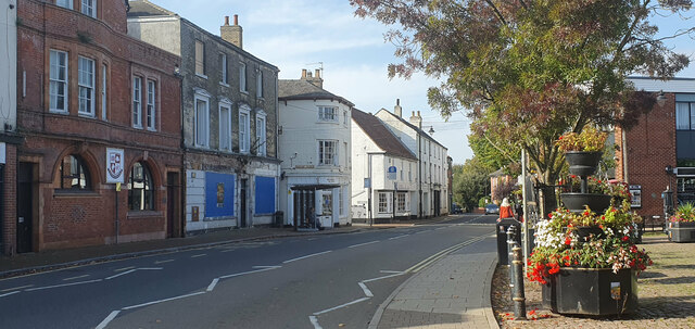
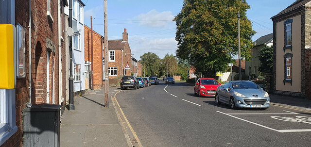
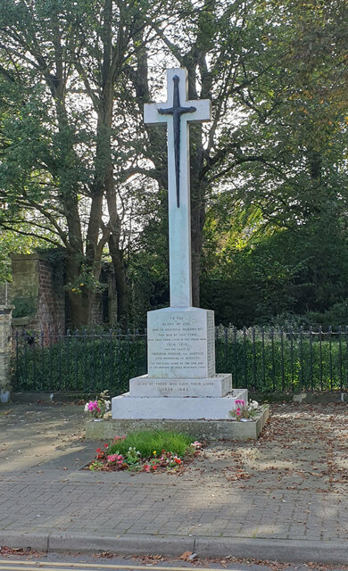
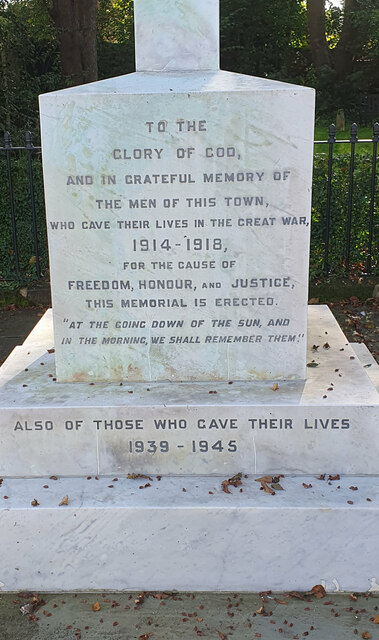
Hamilton Hill Images
Images are sourced within 2km of 53.395574/-0.31343285 or Grid Reference TF1290. Thanks to Geograph Open Source API. All images are credited.


Hamilton Hill is located at Grid Ref: TF1290 (Lat: 53.395574, Lng: -0.31343285)
Administrative County: Lincolnshire
District: West Lindsey
Police Authority: Lincolnshire
What 3 Words
///crystals.waistcoat.clothed. Near Market Rasen, Lincolnshire
Nearby Locations
Related Wikis

2008 Market Rasen earthquake
On 27 February 2008 at 00:56:47.8s GMT an earthquake occurred at Market Rasen, Lincolnshire. According to the British Geological Survey the earthquake...

Market Rasen Racecourse
Market Rasen Racecourse is a National Hunt racecourse in the town of Market Rasen, in Lincolnshire, England. It is owned and operated by Jockey Club Racecourses...

De Aston School
De Aston School is a mixed secondary school with academy status in Market Rasen, Lincolnshire, England. It also has a sixth form but no longer has a boarding...
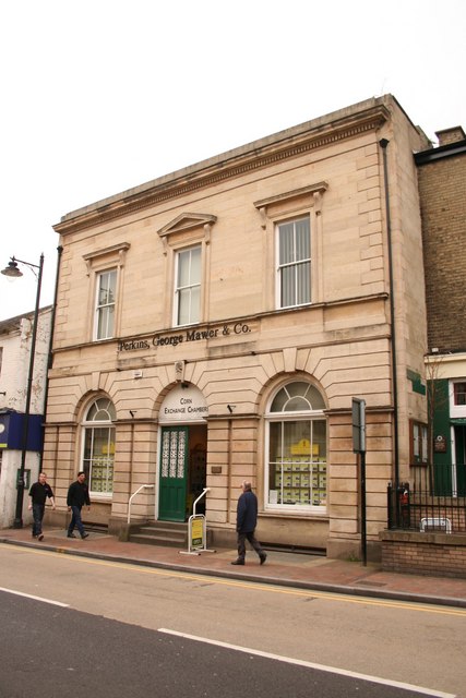
Corn Exchange, Market Rasen
The Corn Exchange is a commercial building in Queen Street, Market Rasen, Lincolnshire, England. The structure, which is used as the offices of a firm...
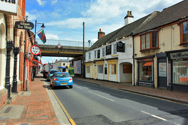
Market Rasen
Market Rasen ( RAY-zən) is a market town and civil parish within the West Lindsey district of Lincolnshire, England. The River Rase runs through it east...

Market Rasen railway station
Market Rasen railway station serves the market town of Market Rasen in Lincolnshire, England. == History == It was built by the Great Grimsby and Sheffield...

Holy Rood Church, Market Rasen
Holy Rood Catholic Church is a Roman Catholic parish church located on King Street in Market Rasen, Lincolnshire, England. The church dates from the 19th...
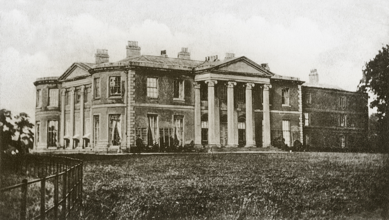
Willingham House
Willingham House was a country house in North Willingham (near Market Rasen), Lincolnshire, England. It was built around 1790 for Ayscoghe Boucherett...
Nearby Amenities
Located within 500m of 53.395574,-0.31343285Have you been to Hamilton Hill?
Leave your review of Hamilton Hill below (or comments, questions and feedback).