Cap Hill
Hill, Mountain in Yorkshire Scarborough
England
Cap Hill
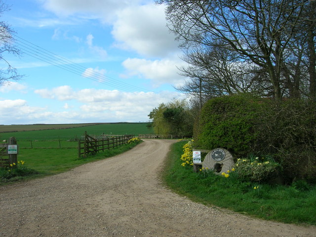
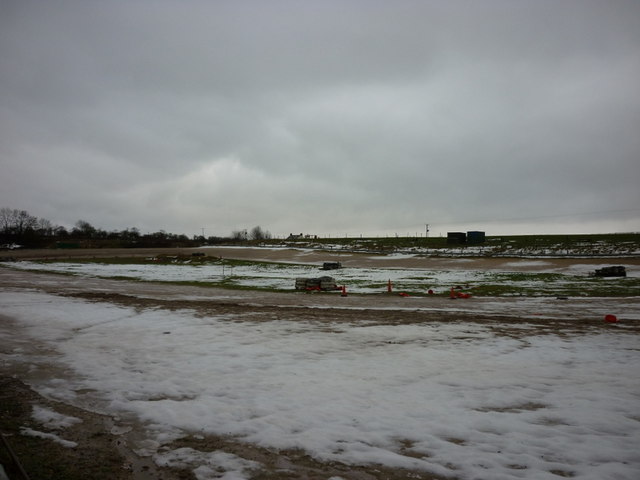
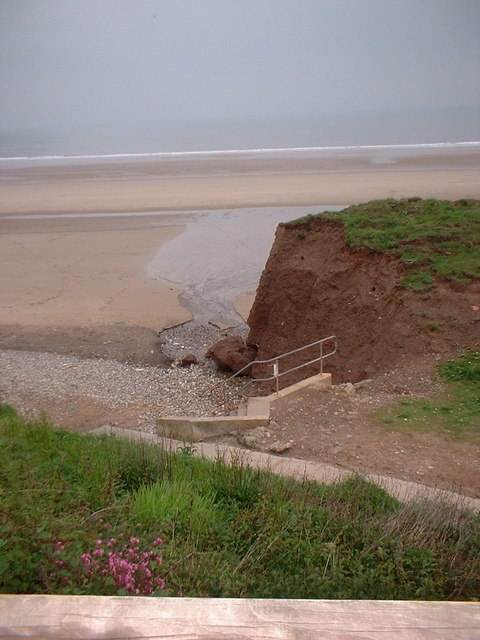
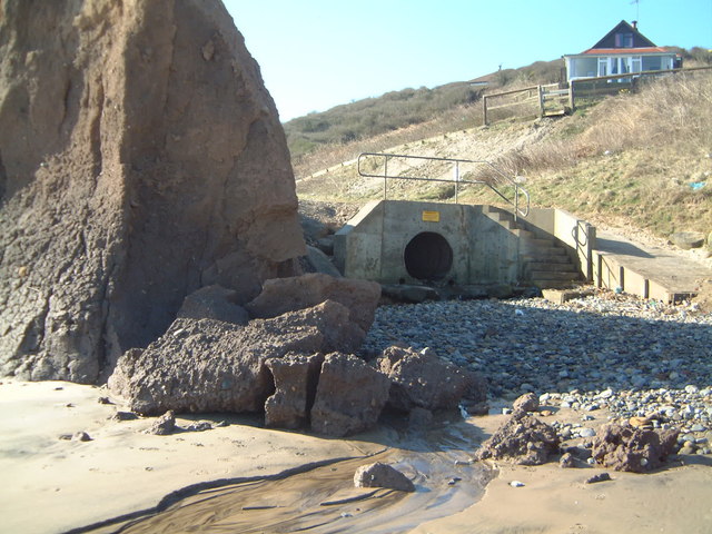
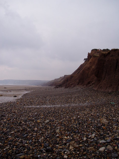
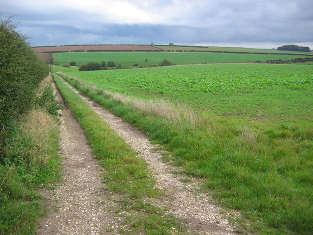
Cap Hill is a prominent geographical feature located in the county of Yorkshire, England. It is a picturesque hill that stands at an elevation of approximately 400 meters above sea level, making it one of the highest points in the region. Situated amidst the beautiful countryside, Cap Hill offers breathtaking panoramic views of the surrounding landscape.
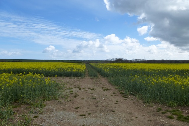
The hill is characterized by its gentle slopes and lush greenery, making it an ideal destination for nature lovers and outdoor enthusiasts. Its strategic location provides visitors with a prime vantage point to observe the rolling hills, charming valleys, and meandering rivers that dot the Yorkshire countryside.
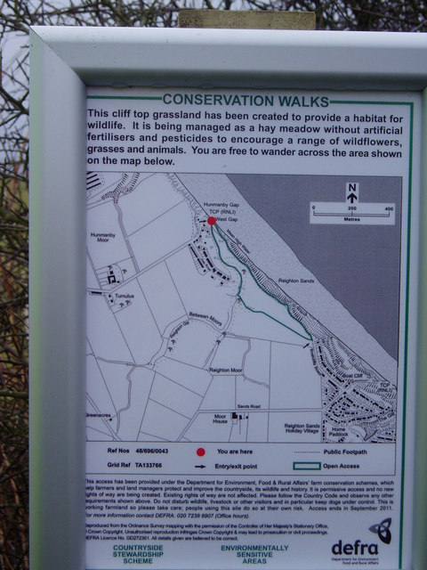
Cap Hill is also home to a diverse range of flora and fauna, with various species of wildflowers and grasses adorning its slopes. The hill provides a natural habitat for several bird species, making it a popular spot for birdwatching. Additionally, the abundance of walking trails and footpaths in the area offers visitors the opportunity to explore the hill and its surroundings at their own pace.
The hill's proximity to nearby towns and villages makes it easily accessible to both locals and tourists alike. Visitors can enjoy a peaceful retreat away from the hustle and bustle of urban life, immersing themselves in the tranquility of the rural countryside. Whether it's a leisurely hike, a picnic with family and friends, or simply enjoying the stunning views, Cap Hill offers a serene and idyllic setting for all to enjoy.
If you have any feedback on the listing, please let us know in the comments section below.
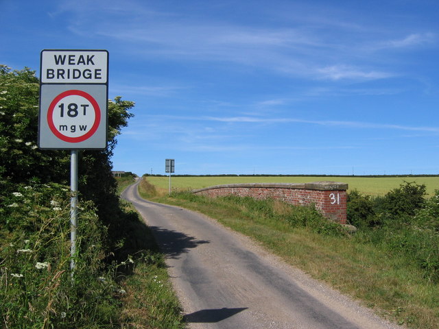
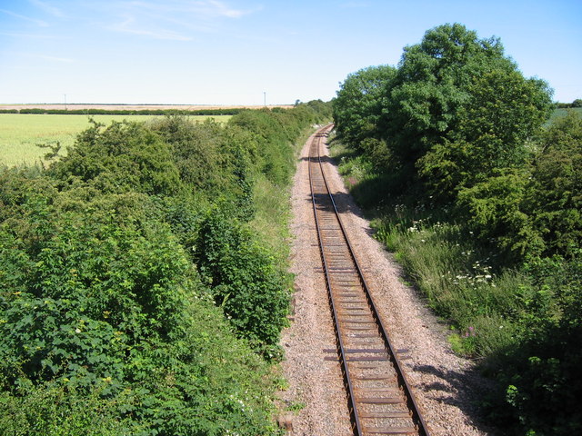
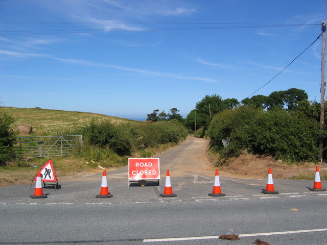
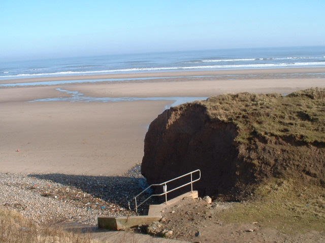
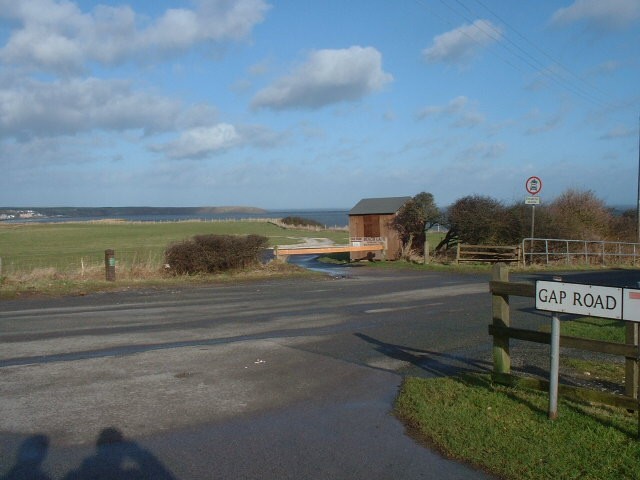
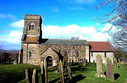
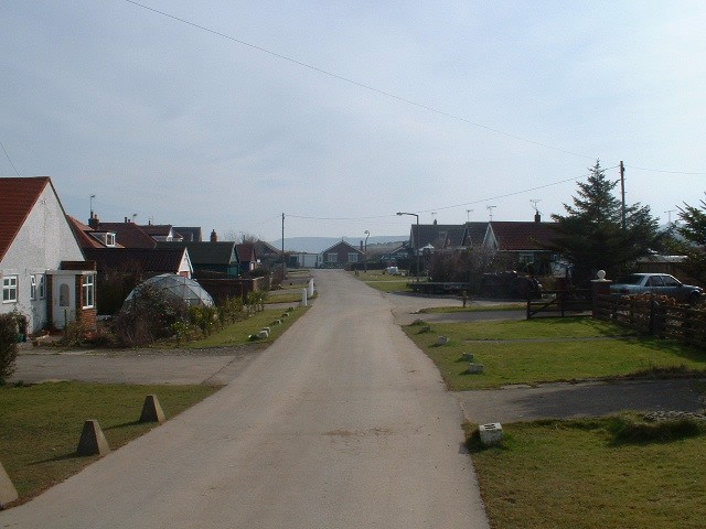
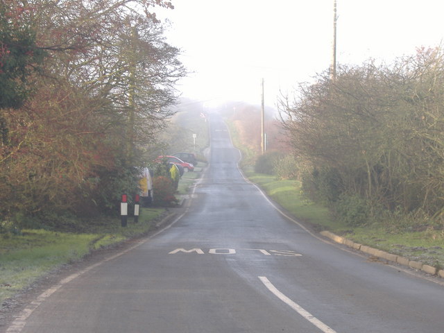
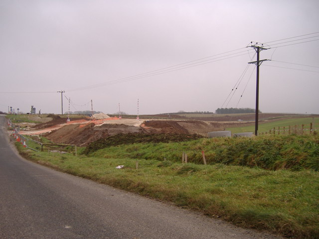
Cap Hill Images
Images are sourced within 2km of 54.16674/-0.28827113 or Grid Reference TA1175. Thanks to Geograph Open Source API. All images are credited.
Cap Hill is located at Grid Ref: TA1175 (Lat: 54.16674, Lng: -0.28827113)
Division: East Riding
Administrative County: North Yorkshire
District: Scarborough
Police Authority: North Yorkshire
What 3 Words
///rocks.riots.purified. Near Hunmanby, North Yorkshire
Nearby Locations
Related Wikis

Reighton
Reighton is a village and civil parish, in North Yorkshire, England. From the mediaeval era until the 19th century Reighton was part of Dickering Wapentake...

Butlin's Filey
Filey Holiday Camp was a Butlin's holiday camp near Filey, North Yorkshire, England, built for Billy Butlin's holiday organisation. Construction of the...

Filey Holiday Camp railway station
Filey Holiday Camp railway station was a railway station built by the London and North Eastern Railway to serve Butlin's Filey Holiday Camp just south...

Hunmanby railway station
Hunmanby railway station serves the large village of Hunmanby in North Yorkshire, England. It is located on the Yorkshire Coast Line and is operated by...

RAF Hunmanby Moor
RAF Hunmanby Moor, (also known as RAF Filey), was a Royal Air Force training camp during the Second World War in Hunmanby, East Riding of Yorkshire, England...

Primrose Valley
Primrose Valley is a coastal village south of Filey, North Yorkshire, England. It was historically part of the East Riding of Yorkshire until 1974 and...

Hunmanby
Hunmanby is a large village and civil parish in North Yorkshire, England. It was part of the East Riding of Yorkshire until 1974. From 1974 to 2023 it...

Royal Oak, North Yorkshire
Royal Oak is an area in North Yorkshire, England, between Scarborough and Bridlington, next to Filey and Hunmanby. The place itself is marked by a public...
Nearby Amenities
Located within 500m of 54.16674,-0.28827113Have you been to Cap Hill?
Leave your review of Cap Hill below (or comments, questions and feedback).