Wan Dale

Downs, Moorland in Yorkshire Scarborough

England

Wan Dale

View from Reighton Bridge Looking west from Reighton Bridge HBS/30, along the Bridlington, Scarborough line on the north edge of the grid square.
View from Reighton Bridge Credit: Stephen Horncastle

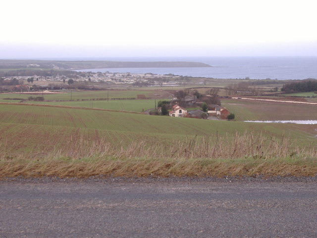
Wan Dale, located in the county of Yorkshire, is a picturesque region known for its stunning upland landscape encompassing both downs and moorland. With an approximate area of 50 square miles, Wan Dale is a haven for nature enthusiasts and those seeking tranquility amidst the beauty of rural England.

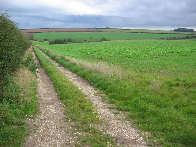
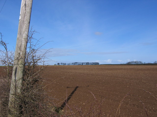
The downs of Wan Dale are characterized by rolling hills, typically covered in grass and scattered with patches of shrubs and trees. These gentle slopes offer breathtaking panoramic views of the surrounding countryside, making it an ideal spot for hiking or leisurely walks. The downs also provide a habitat for a variety of wildlife, including birds, rabbits, and occasional deer.

In contrast, the moorland of Wan Dale offers a more rugged and untamed terrain. This vast expanse of heather-covered hills presents a unique and dramatic landscape, attracting both photographers and artists. Moorland birds, such as grouse and curlew, can often be spotted, adding to the area's allure.

Wan Dale benefits from a relatively mild climate, with temperate summers and cool winters. Visitors can expect a mix of sunny days and occasional rain showers throughout the year, enhancing the vibrant greens of the downs and the purples of the moorland.

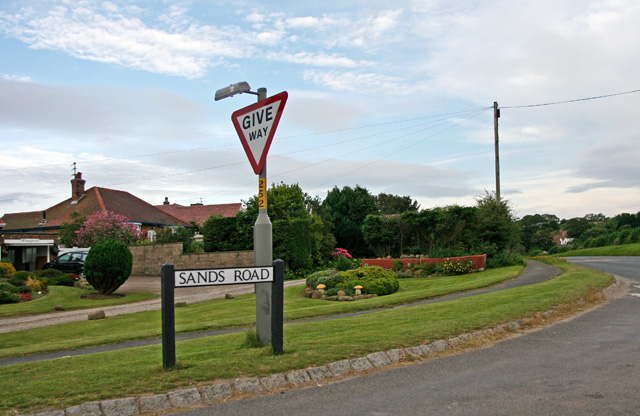
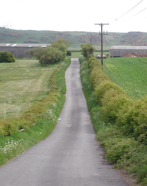
The region boasts several quaint villages and hamlets, where visitors can experience the charm of traditional Yorkshire life. Local pubs and cafes offer a warm welcome and serve delicious regional dishes, such as Yorkshire pudding and hearty stews.

Overall, Wan Dale, Yorkshire (Downs, Moorland) is a captivating destination for those seeking a rural retreat, with its idyllic downs, dramatic moorland, and charming villages, all waiting to be explored and enjoyed.

If you have any feedback on the listing, please let us know in the comments section below.
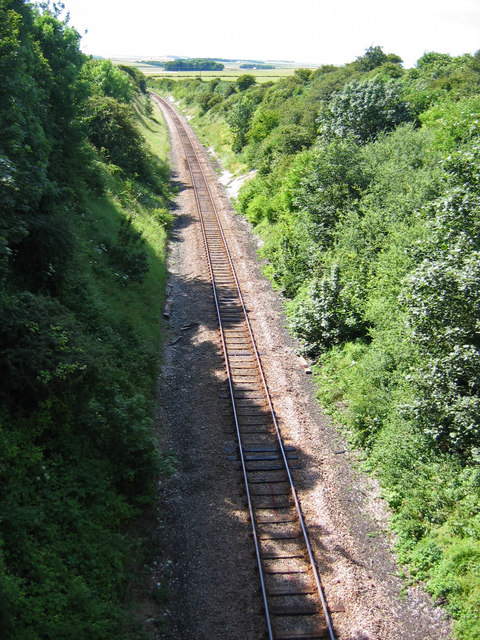
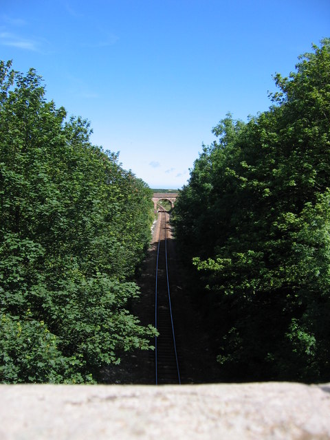
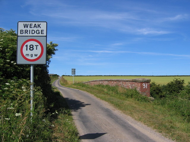
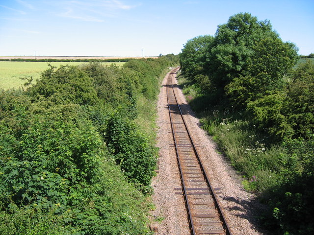
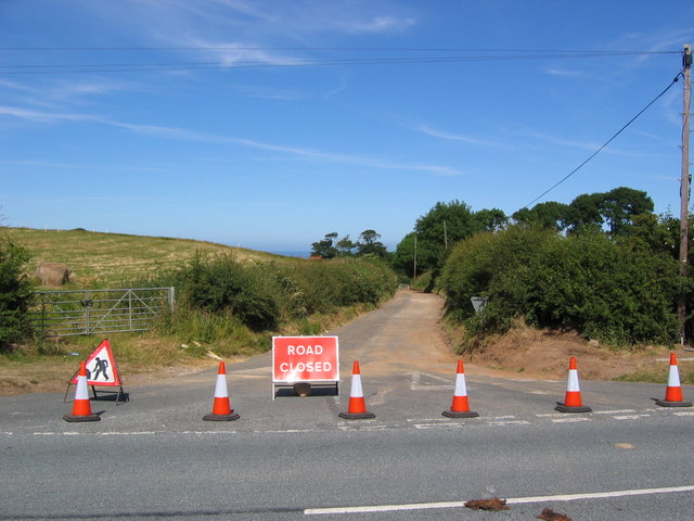
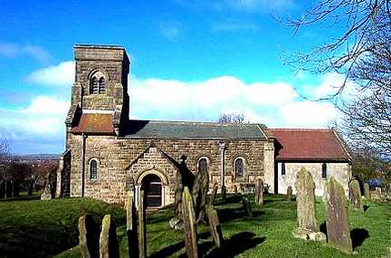
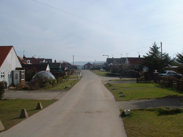
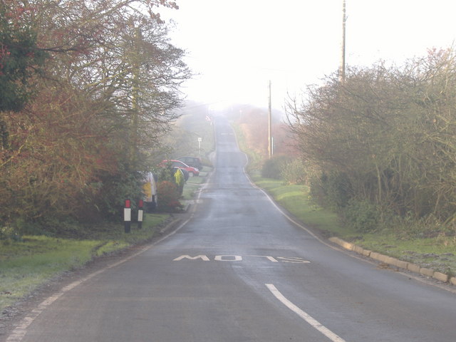
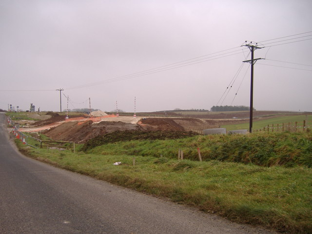
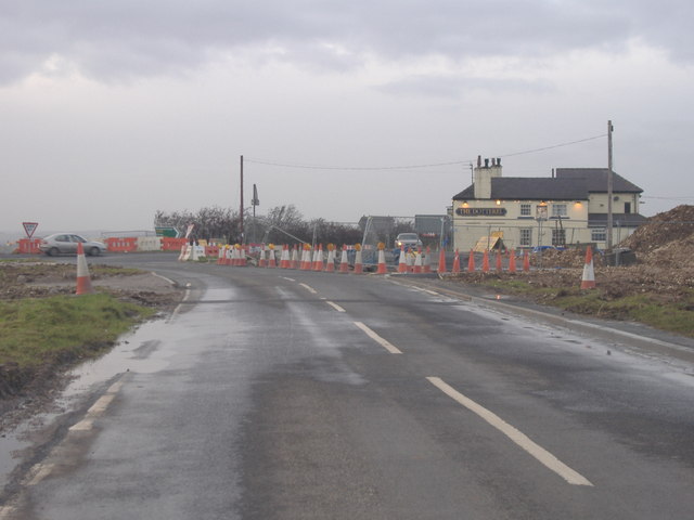
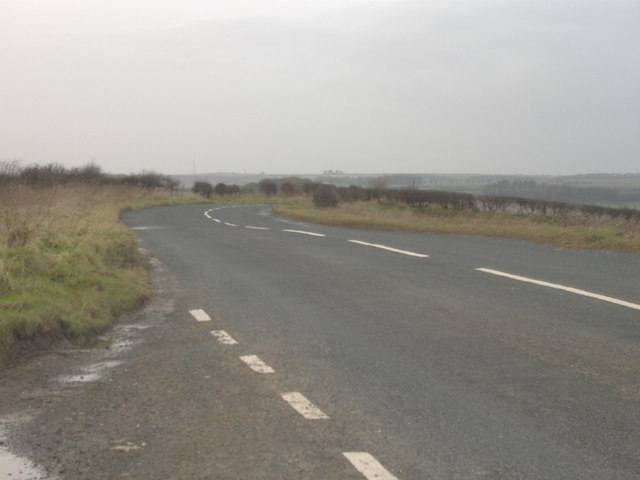
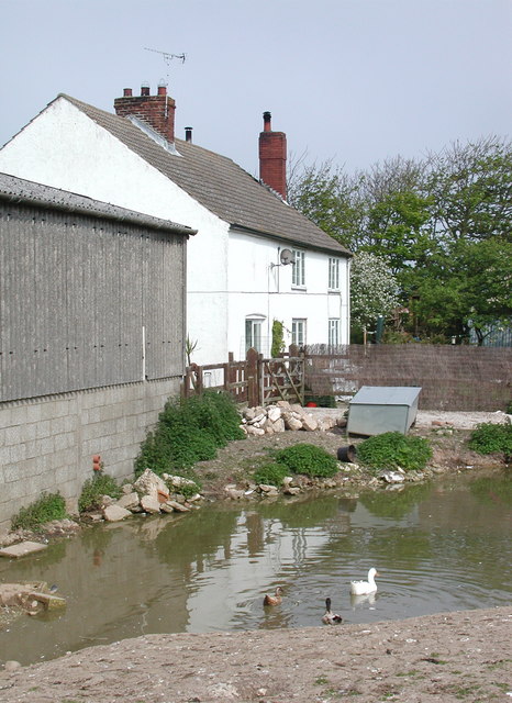
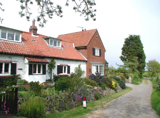
Wan Dale Images

Images are sourced within 2km of 54.161898/-0.28655641 or Grid Reference TA1175. Thanks to Geograph Open Source API. All images are credited.

View from Reighton Bridge Looking west from Reighton Bridge HBS/30, along the Bridlington, Scarborough line on the north edge of the grid square.
View from Reighton Bridge
Looking west from Reighton Bridge HBS/30, along the Bridlington, Scarborough line on the north edge of the grid square.
View East From Reighton Bridge Looking east down the line to the bridge on the east edge of the square
View East From Reighton Bridge
Looking east down the line to the bridge on the east edge of the square
Bridge HBS/31 Looking north to North Burton Lane Bridge over the Bridlington, Scarborough rail line.
Bridge HBS/31
Looking north to North Burton Lane Bridge over the Bridlington, Scarborough rail line.
View from Burton Lane Bridge View east from bridge No.HBS/31
View from Burton Lane Bridge
View east from bridge No.HBS/31
St. Helens Lane Looking east to the lane into Reighton.
St. Helens Lane
Looking east to the lane into Reighton.
Reighton, St Peter's Church This Church is in the south west corner of the OS grid which it occupies. It is situated on the eastern side of the A165 road which runs through the village.
Reighton, St Peter's Church
This Church is in the south west corner of the OS grid which it occupies. It is situated on the eastern side of the A165 road which runs through the village.
Gap Road Gap Road at Hunmanby Gap looking towards the South and Reighton.
Gap Road
Gap Road at Hunmanby Gap looking towards the South and Reighton.
Track Near Dale Farm A typical view NE of the farmland in this area.
Track Near Dale Farm
A typical view NE of the farmland in this area.
Sands Road This minor road runs from the A165 to Hunmanby Gap.  This view is from outside Moor Farm towards the A165.
Sands Road
This minor road runs from the A165 to Hunmanby Gap. This view is from outside Moor Farm towards the A165.
Reighton Bypass Construction. The view from Sands Road towards the junction with the A165.  Construction of the new Reighton Bypass is well under way.
Reighton Bypass Construction.
The view from Sands Road towards the junction with the A165. Construction of the new Reighton Bypass is well under way.
Roadworks at Reighton This photo is taken on the B1229 towards the A165 and The Dotterel Pub.  The roadworks are due to the construction of the Reighton Bypass.
Roadworks at Reighton
This photo is taken on the B1229 towards the A165 and The Dotterel Pub. The roadworks are due to the construction of the Reighton Bypass.
Hunmanby Road Viewed from the layby near Graffitoe Farm.
Hunmanby Road
Viewed from the layby near Graffitoe Farm.
View towards Filey Bay Viewed from Hunmanby Road.  Filey Brigg can be clearly seen.  The construction of the Reighton Bypass can also be seen in the middle distance at the far right and left of the picture.
View towards Filey Bay
Viewed from Hunmanby Road. Filey Brigg can be clearly seen. The construction of the Reighton Bypass can also be seen in the middle distance at the far right and left of the picture.
Farmland South Of Hunmanby
Sands Road Road junction for Reighton Sands
Sands Road
Road junction for Reighton Sands
Raincliff Ings, Reighton Looking south down the lane to Moor Farm from Newlands, near the entrance to Reighton Sands Holiday Village.
Raincliff Ings, Reighton
Looking south down the lane to Moor Farm from Newlands, near the entrance to Reighton Sands Holiday Village.
Moor Farm, Reighton The farmhouse at Moor Farm on Raincliff Ings, which these days is hemmed in to the north and east by Reighton Sands Holiday Park.
Moor Farm, Reighton
The farmhouse at Moor Farm on Raincliff Ings, which these days is hemmed in to the north and east by Reighton Sands Holiday Park.
Watson's Lane, Reighton Stubberhill: the last house on Watson's Lane in the northeast corner of Reighton village.
Watson's Lane, Reighton
Stubberhill: the last house on Watson's Lane in the northeast corner of Reighton village.
Show me another place!

Wan Dale is located at Grid Ref: TA1175 (Lat: 54.161898, Lng: -0.28655641)

Division: East Riding

Administrative County: North Yorkshire

District: Scarborough

Police Authority: North Yorkshire

What 3 Words

///sulk.spindles.award. Near Hunmanby, North Yorkshire

Related Wikis

Reighton

Reighton is a village and civil parish, in North Yorkshire, England. From the mediaeval era until the 19th century Reighton was part of Dickering Wapentake...

Butlin's Filey

Filey Holiday Camp was a Butlin's holiday camp near Filey, North Yorkshire, England, built for Billy Butlin's holiday organisation. Construction of the...

Filey Holiday Camp railway station

Filey Holiday Camp railway station was a railway station built by the London and North Eastern Railway to serve Butlin's Filey Holiday Camp just south...

Hunmanby railway station

Hunmanby railway station serves the large village of Hunmanby in North Yorkshire, England. It is located on the Yorkshire Coast Line and is operated by...

RAF Hunmanby Moor

RAF Hunmanby Moor, (also known as RAF Filey), was a Royal Air Force training camp during the Second World War in Hunmanby, East Riding of Yorkshire, England...

Primrose Valley

Primrose Valley is a coastal village south of Filey, North Yorkshire, England. It was historically part of the East Riding of Yorkshire until 1974 and...

Hunmanby

Hunmanby is a large village and civil parish in North Yorkshire, England. It was part of the East Riding of Yorkshire until 1974. From 1974 to 2023 it...

Royal Oak, North Yorkshire

Royal Oak is an area in North Yorkshire, England, between Scarborough and Bridlington, next to Filey and Hunmanby. The place itself is marked by a public...

Nearby Amenities

Located within 500m of 54.161898,-0.28655641
WILLOWS1
Disused: yes
Man Made: petroleum_well
Ref GB Decc: L41/29-11
Source: DECC
Lat/Long: 54.1575326/-0.2858417
Generator Method: wind_turbine
Generator Source: wind
Power: generator
Lat/Long: 54.1639585/-0.2882289
Generator Method: wind_turbine
Generator Source: wind
Power: generator
Lat/Long: 54.1644447/-0.2889699
The data included in this document is from www.openstreetmap.org. The data is made available under ODbL.

Have you been to Wan Dale?

Leave your review of Wan Dale below (or comments, questions and feedback).