East Field
Downs, Moorland in Yorkshire Scarborough
England
East Field
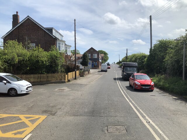
Located in the county of Yorkshire, East Field is a picturesque area encompassing both downs and moorland landscapes. Situated in the eastern part of the county, it is known for its natural beauty and diverse ecosystems.
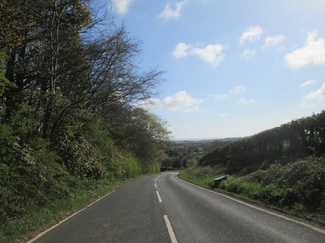
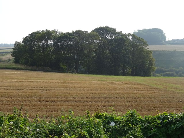
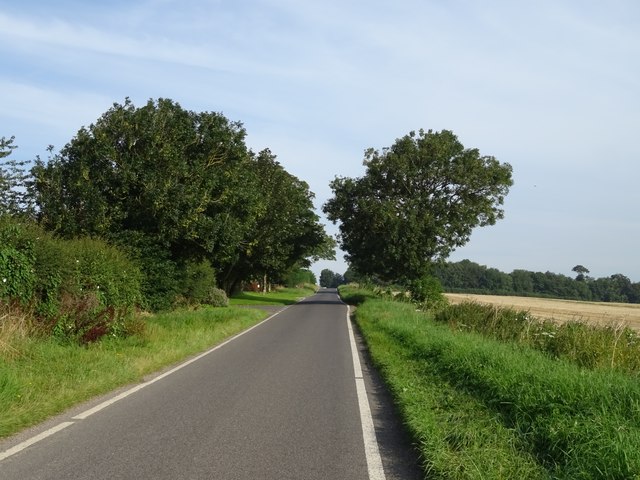
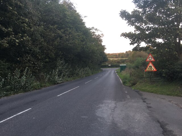
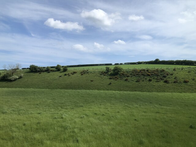
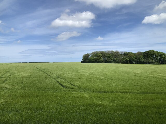
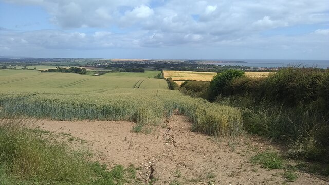
The downs of East Field are characterized by their gently rolling hills and grassy meadows. These areas provide ample grazing land for livestock and boast stunning panoramic views of the surrounding countryside. The downs are often dotted with ancient burial mounds and other archaeological sites, showcasing the rich historical significance of the region.
On the other hand, the moorland in East Field is a rugged and wild terrain, covered in heather and low-lying shrubs. This unique landscape is home to a variety of wildlife, including birds of prey such as red grouse and kestrels, as well as smaller mammals like hares and foxes. The moorland is also known for its peat bogs, which play a crucial role in maintaining the area's delicate ecosystem.
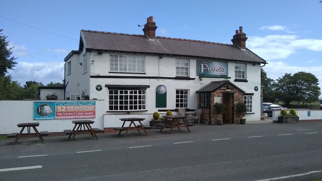
Visitors to East Field can enjoy a range of outdoor activities, including hiking, birdwatching, and nature photography. There are numerous walking trails that traverse the downs and moorland, allowing visitors to explore the area's natural wonders at their own pace. Additionally, the charming nearby villages offer quaint accommodations and local pubs where visitors can relax and immerse themselves in the local culture.
Overall, East Field in Yorkshire is a haven for nature enthusiasts, offering a delightful combination of downs and moorland landscapes that showcase the region's natural beauty and historical heritage.
If you have any feedback on the listing, please let us know in the comments section below.
East Field Images
Images are sourced within 2km of 54.164554/-0.29323242 or Grid Reference TA1175. Thanks to Geograph Open Source API. All images are credited.
East Field is located at Grid Ref: TA1175 (Lat: 54.164554, Lng: -0.29323242)
Division: East Riding
Administrative County: North Yorkshire
District: Scarborough
Police Authority: North Yorkshire
What 3 Words
///doghouse.permit.illogical. Near Hunmanby, North Yorkshire
Nearby Locations
Related Wikis

Reighton
Reighton is a village and civil parish, in North Yorkshire, England. From the mediaeval era until the 19th century Reighton was part of Dickering Wapentake...

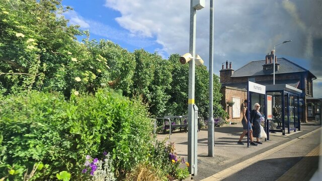
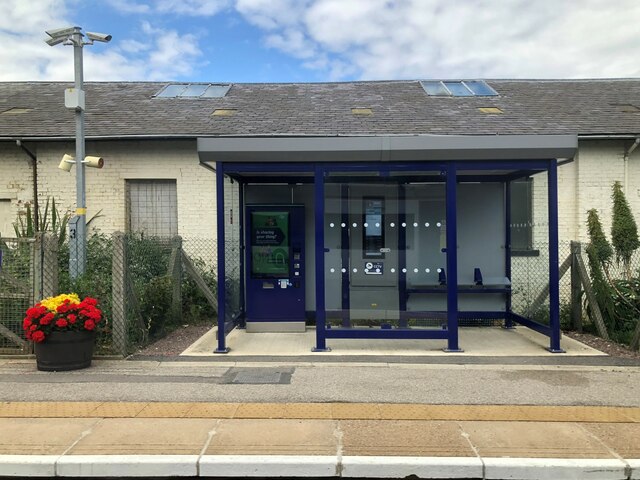
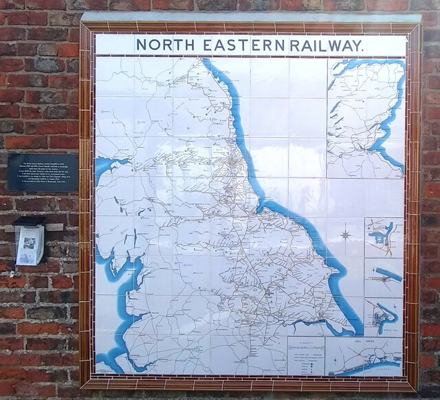
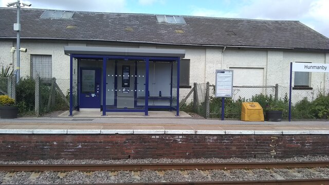
Hunmanby railway station
Hunmanby railway station serves the large village of Hunmanby in North Yorkshire, England. It is located on the Yorkshire Coast Line and is operated by...

Filey Holiday Camp railway station
Filey Holiday Camp railway station was a railway station built by the London and North Eastern Railway to serve Butlin's Filey Holiday Camp just south...

Butlin's Filey
Filey Holiday Camp was a Butlin's holiday camp near Filey, North Yorkshire, England, built for Billy Butlin's holiday organisation. Construction of the...
Nearby Amenities
Located within 500m of 54.164554,-0.29323242Have you been to East Field?
Leave your review of East Field below (or comments, questions and feedback).