East Field
Downs, Moorland in Lincolnshire South Kesteven
England
East Field
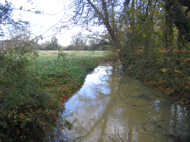
East Field is a picturesque region located in the county of Lincolnshire, in the eastern part of England. Known for its diverse landscape, it encompasses both downs and moorland, offering visitors a unique experience of natural beauty.
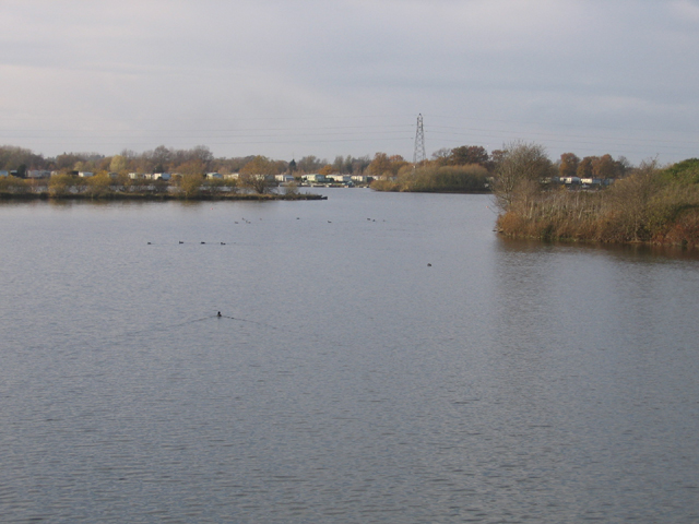
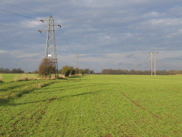
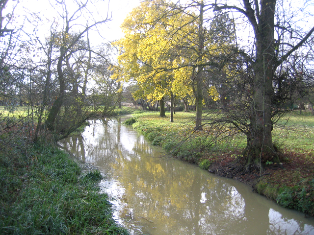
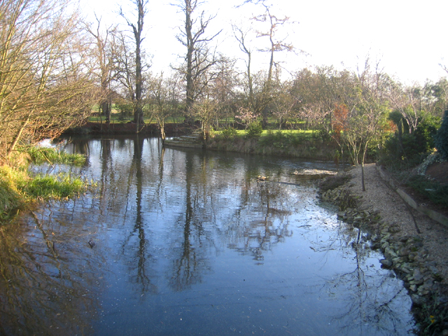
The downs of East Field are characterized by gently rolling hills and expansive meadows, covered in lush green grass. These downs provide a tranquil setting for leisurely walks and picnics, with breathtaking views of the surrounding countryside. The area is home to an array of wildlife, including various species of birds and small mammals, making it a haven for nature enthusiasts.
In contrast, the moorland of East Field offers a more rugged and wild landscape. Here, visitors can explore vast stretches of open land, covered in heather and interspersed with rocky outcrops. This untamed terrain creates a distinct atmosphere, perfect for those seeking adventure and solitude. The moorland is also home to unique flora and fauna, such as wildflowers and birds of prey, providing ample opportunities for wildlife observation and photography.
East Field benefits from a mild climate, with warm summers and relatively mild winters, making it an attractive destination throughout the year. The region is well-connected by road and public transportation, allowing easy access for visitors from nearby towns and cities.
Overall, East Field in Lincolnshire offers a diverse and captivating landscape, combining the tranquility of downs with the ruggedness of moorland. With its abundance of natural beauty and recreational opportunities, it is a destination that appeals to both nature lovers and adventure seekers alike.
If you have any feedback on the listing, please let us know in the comments section below.
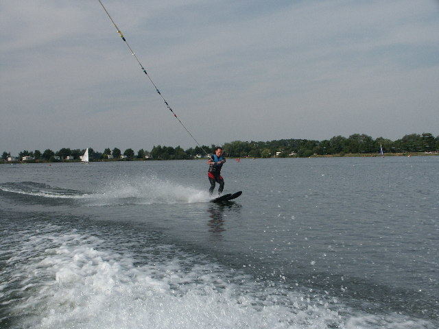
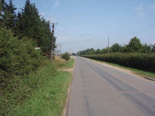
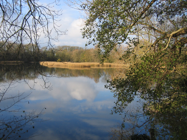
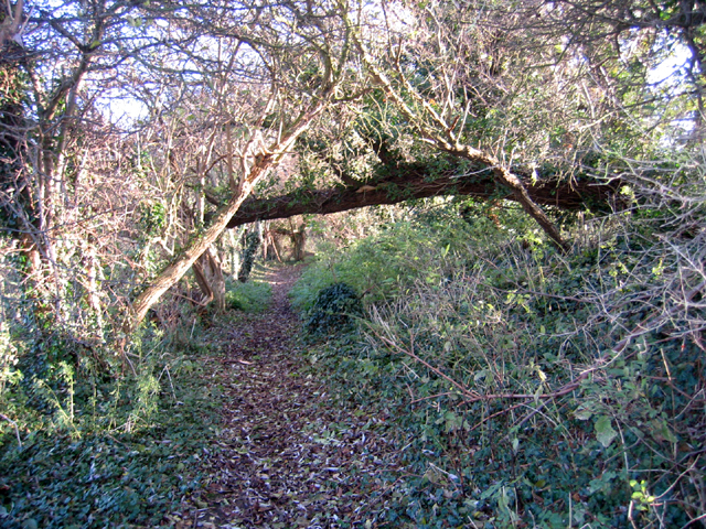
East Field Images
Images are sourced within 2km of 52.667387/-0.35178251 or Grid Reference TF1109. Thanks to Geograph Open Source API. All images are credited.
East Field is located at Grid Ref: TF1109 (Lat: 52.667387, Lng: -0.35178251)
Administrative County: Lincolnshire
District: South Kesteven
Police Authority: Lincolnshire
What 3 Words
///lengthen.polygraph.doses. Near Market Deeping, Lincolnshire
Nearby Locations
Related Wikis

West Deeping
West Deeping is a village and civil parish in the South Kesteven district of Lincolnshire, England. The population of the civil parish at the 2011 census...

Lolham
Lolham is a hamlet in the City of Peterborough in England, located between Peterborough and Stamford on the border of Cambridgeshire and Lincolnshire....

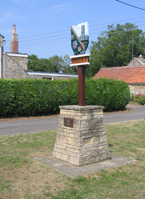
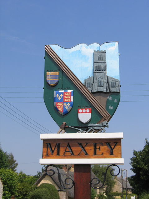
Maxey, Cambridgeshire
Maxey is a village in the Peterborough unitary authority, in the ceremonial county of Cambridgeshire, England, located between Peterborough and Stamford...

Maxey Castle
Maxey Castle was a medieval fortified manor house castle in Maxey, Cambridgeshire, England. == Details == Maxey Castle was built around the 1370s by William...
Barholm
Barholm is a village in the civil parish of Barholm and Stowe, in the South Kesteven district of Lincolnshire, England. It is 2 miles (3 km) west from...

Tallington railway station
Tallington railway station was a station in Tallington, Lincolnshire on the Great Northern Railway between Grantham and Peterborough. It was closed in...

Tallington
Tallington is a village and civil parish in the South Kesteven district of Lincolnshire, England. The population of the civil parish at the 2011 census...

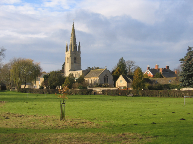
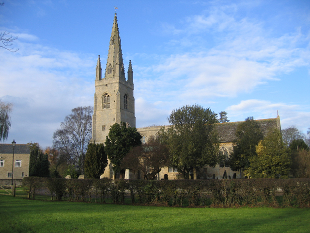
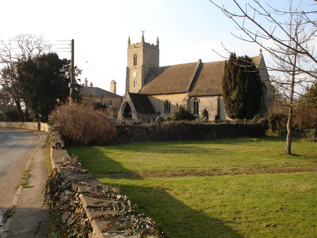
St Guthlac's Church, Market Deeping
Saint Guthlac's Church, Market Deeping is a parish church of the Church of England in Market Deeping, Lincolnshire, England. == Background == The largely...
Nearby Amenities
Located within 500m of 52.667387,-0.35178251Have you been to East Field?
Leave your review of East Field below (or comments, questions and feedback).