Telegraph Hill
Hill, Mountain in Hertfordshire North Hertfordshire
England
Telegraph Hill
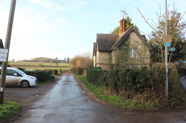
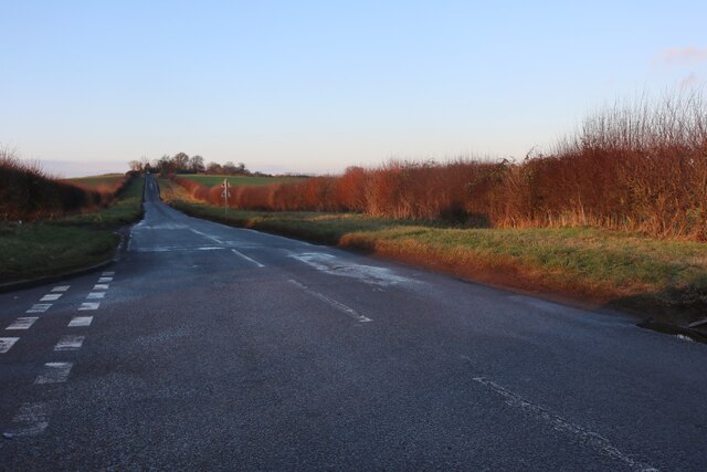
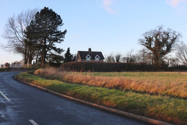
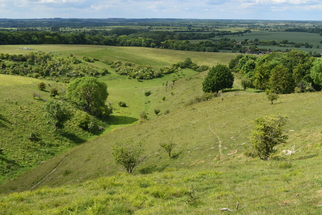
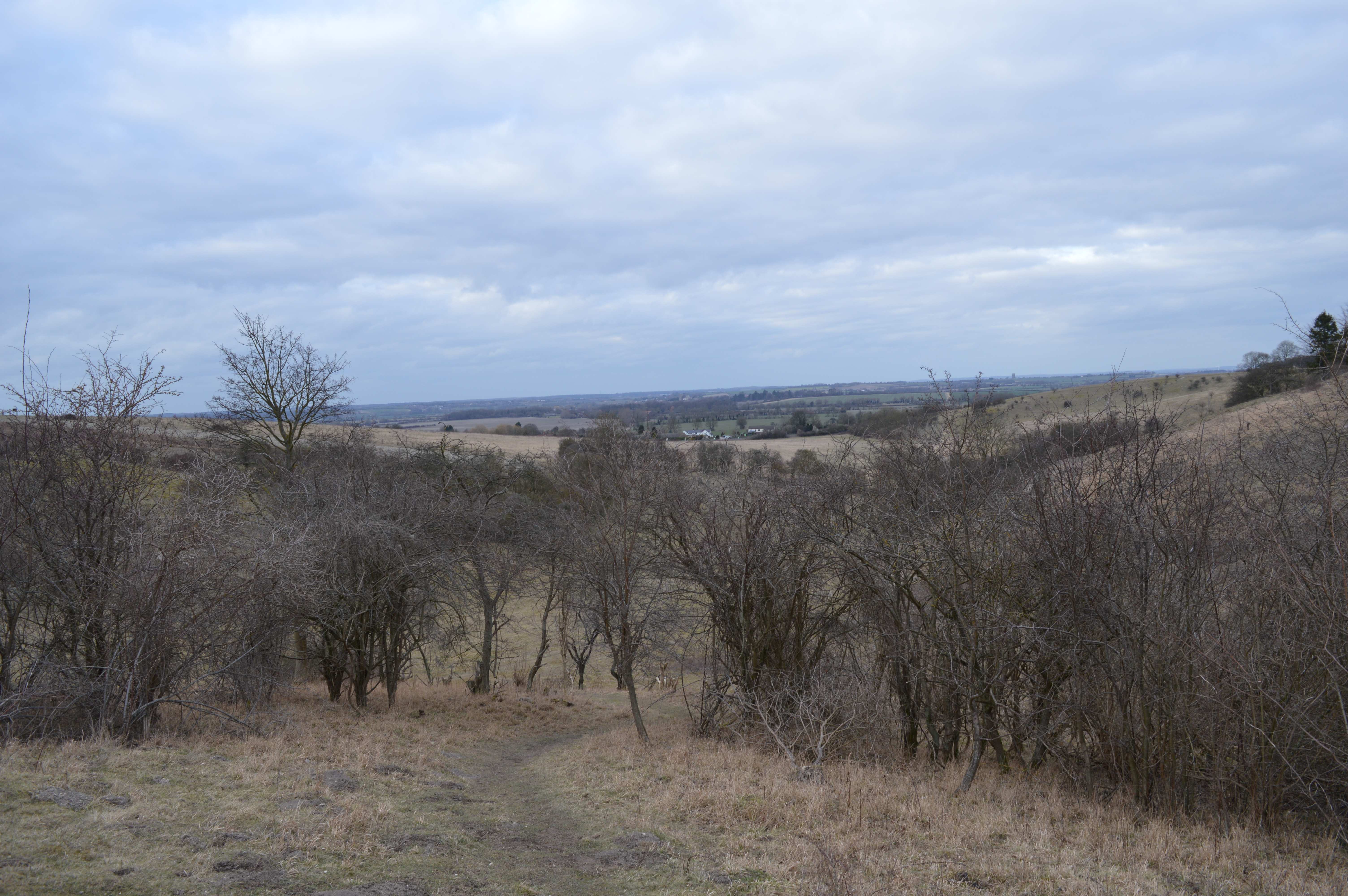
Telegraph Hill is a prominent landmark located in Hertfordshire, England. It is a hill that rises to an elevation of approximately 200 meters (650 feet) above sea level, making it one of the highest points in the region. Situated near the town of Ware, Telegraph Hill offers panoramic views of the surrounding countryside and towns, making it a popular destination for tourists and locals alike.
The hill derives its name from its historical association with telegraph communication. During the early 19th century, a semaphore telegraph station was established on the hilltop. This station played a crucial role in transmitting messages between London and the east coast of England. Although the telegraph station is no longer operational, remnants of the infrastructure can still be observed.
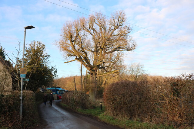
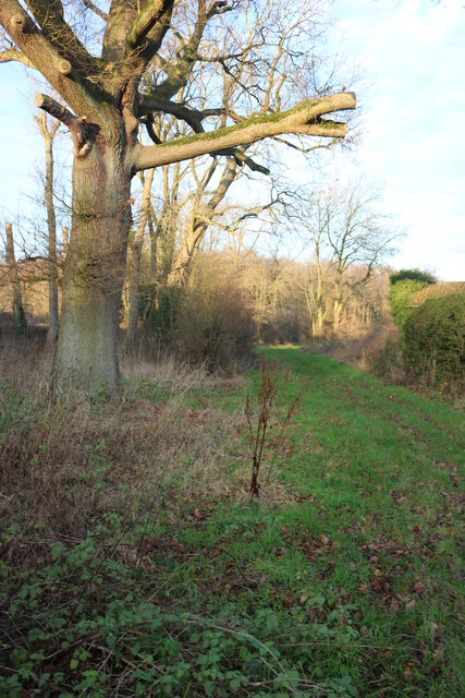
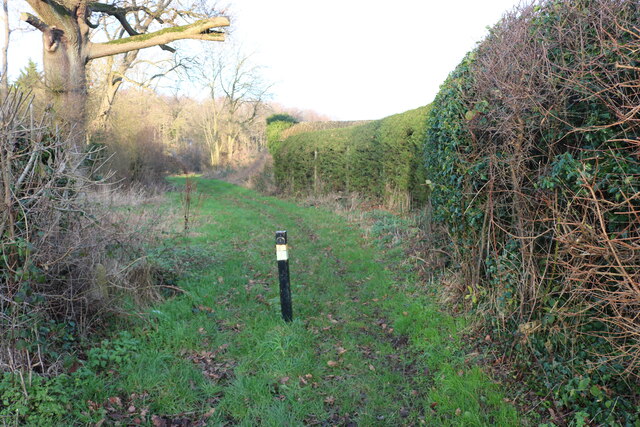
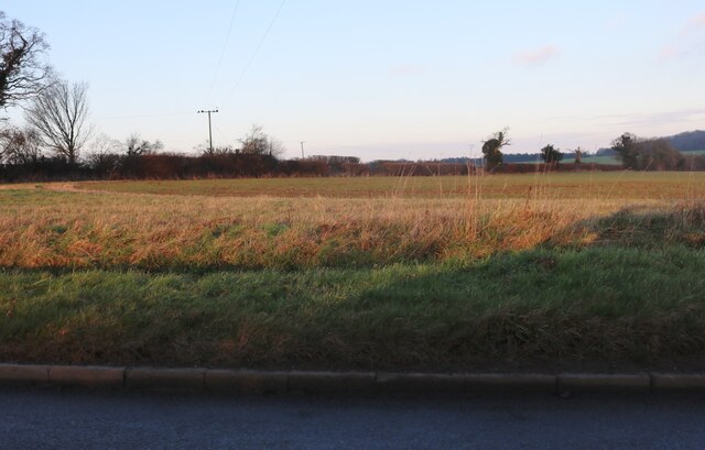
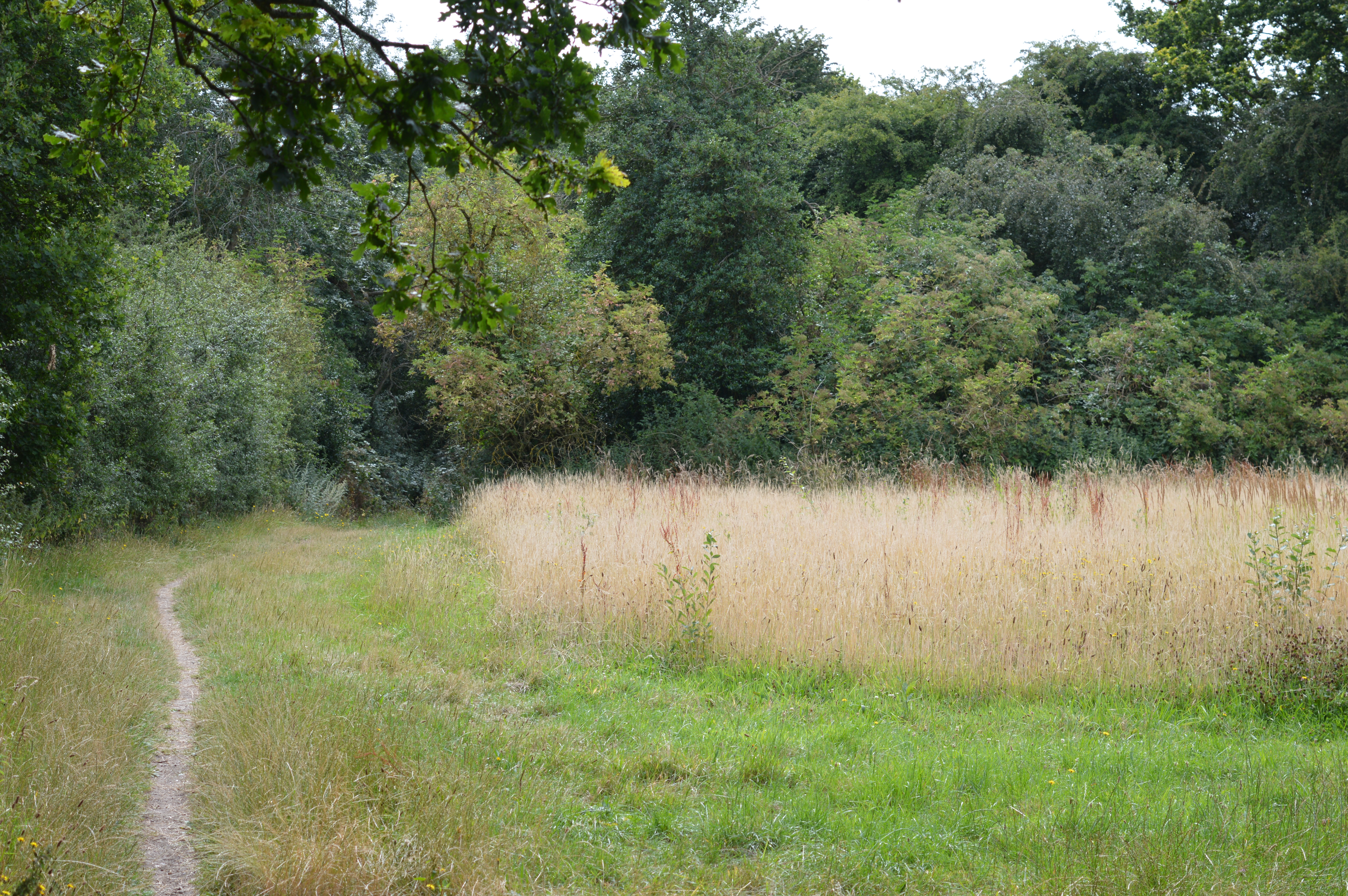
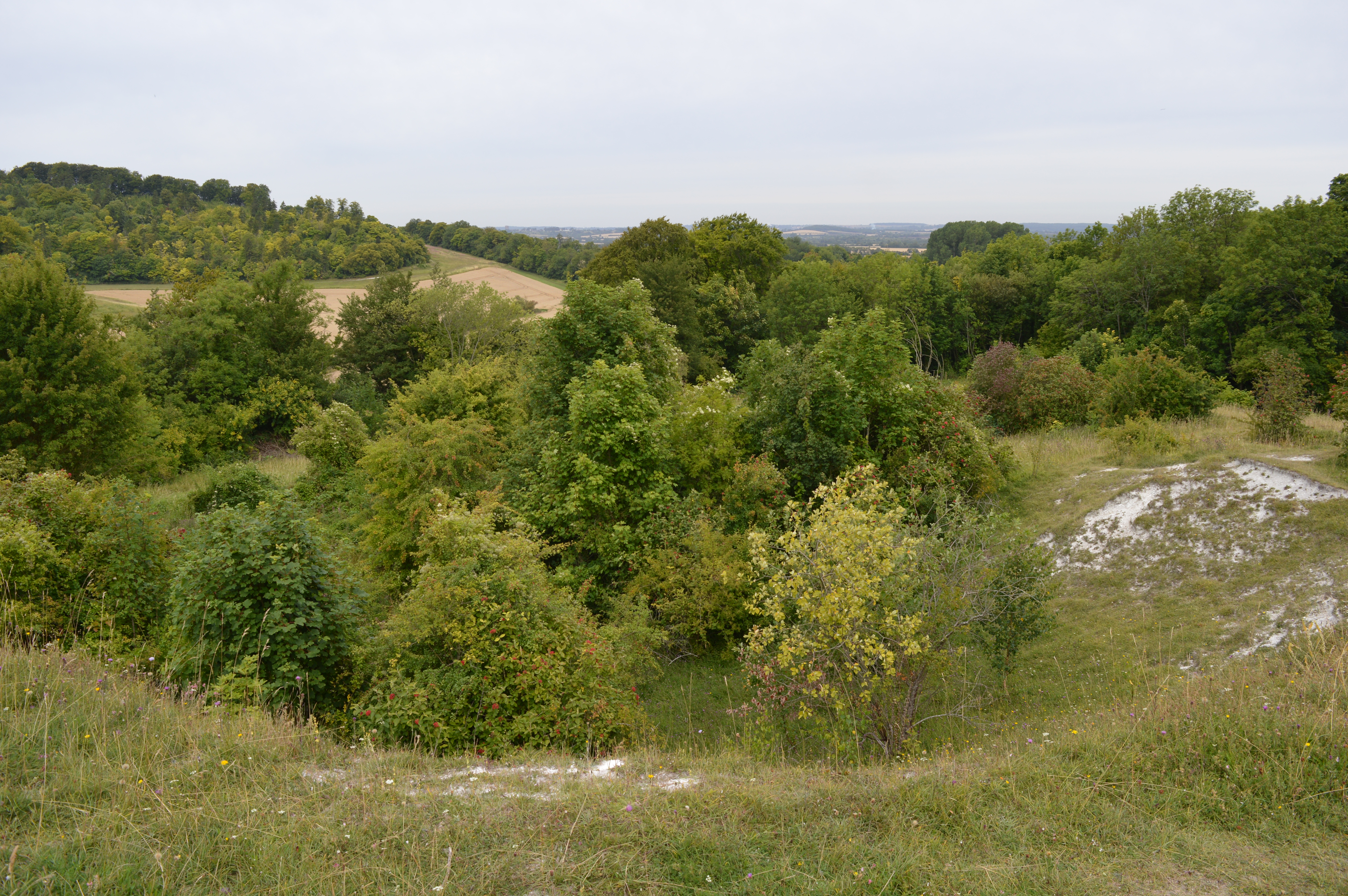
From an ecological perspective, Telegraph Hill is of great significance. It is covered with a mix of woodland and grassland, providing habitats for various species of flora and fauna. The hill is particularly known for its wildflowers, including bluebells and orchids, which bloom in abundance during the spring and summer months.
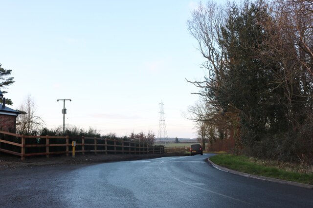
Telegraph Hill is a popular destination for outdoor activities such as hiking, walking, and birdwatching. Several trails meander through the hill, offering visitors the chance to explore its natural beauty while enjoying breathtaking views. The hill is also a favorite spot for paragliders and model aircraft enthusiasts, who take advantage of the hill's elevated position and favorable wind conditions.
Overall, Telegraph Hill in Hertfordshire stands as a historical and natural landmark, offering visitors a unique combination of cultural significance, scenic beauty, and recreational opportunities.
If you have any feedback on the listing, please let us know in the comments section below.
Telegraph Hill Images
Images are sourced within 2km of 51.946408/-0.37472091 or Grid Reference TL1128. Thanks to Geograph Open Source API. All images are credited.


Telegraph Hill is located at Grid Ref: TL1128 (Lat: 51.946408, Lng: -0.37472091)
Administrative County: Hertfordshire
District: North Hertfordshire
Police Authority: Hertfordshire
What 3 Words
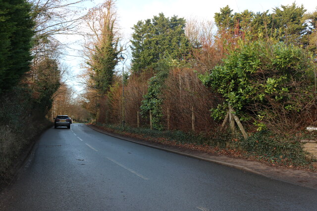
///page.emulated.hush. Near Pirton, Hertfordshire
Nearby Locations
Related Wikis
Telegraph Hill, Hertfordshire
Telegraph Hill is a nature reserve near Lilley in north Hertfordshire. It is in the Chilterns Area of Outstanding Natural Beauty (AONB). According to...

Pegsdon Hills and Hoo Bit
Pegsdon Hills and Hoo Bit is a 79-hectare (200-acre) nature reserve in Pegsdon in Bedfordshire. It is managed by the Wildlife Trust for Bedfordshire, Cambridgeshire...
Deacon Hill SSSI
Deacon Hill SSSI is a 35.4-hectare (87-acre) biological Site of Special Scientific Interest in Pegsdon in Bedfordshire. It is in the Chilterns Area of...
Hexton Chalk Pit
Hexton Chalk Pit is a 1.9-hectare (4.7-acre) nature reserve in Hexton in North Hertfordshire, managed by the Herts and Middlesex Wildlife Trust. It is...

Hitchin Yeshiva
Yeshivas Toras Chessed is a Jewish yeshiva, or rabbinical school. Its curriculum focuses on Torah study, emphasizing the study of Talmud and Jewish law...

Pegsdon
Pegsdon is a hamlet located in the Central Bedfordshire district of Bedfordshire, England. It is part of the Shillington civil parish, and is almost encircled...
Hexton Manor
Hexton Manor is a country house in Hexton, Hertfordshire that has been home to the Lautour family, descendants of the Dukes of Bouillon and Major Sir Patrick...

Hexton
Hexton is a small village and civil parish in Hertfordshire, England, about 6 miles (10 km) west of Hitchin. This parish is a salient of Hertfordshire...
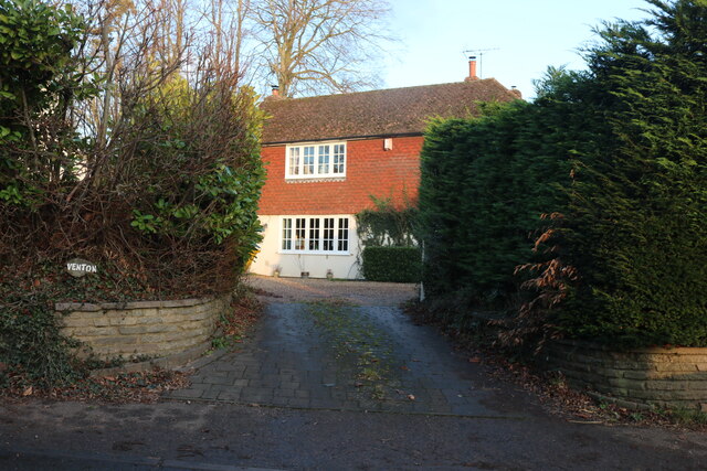
Nearby Amenities
Located within 500m of 51.946408,-0.37472091Have you been to Telegraph Hill?
Leave your review of Telegraph Hill below (or comments, questions and feedback).