Barber's Hill

Hill, Mountain in Lincolnshire South Kesteven

England

Barber's Hill

The Drift at its junction with the B1176 road Looking north-eastward.
The Drift at its junction with the B1176 road Credit: Peter Wood

Barber's Hill is a small, picturesque village nestled in the rolling hills of Lincolnshire, England. Situated on a gentle slope, it offers stunning panoramic views of the surrounding countryside. Despite its name, Barber's Hill is not actually a hill or a mountain but rather a quaint settlement located on a slightly elevated terrain.

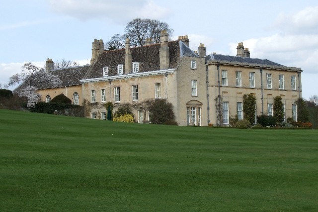
The village is known for its charming, traditional architecture, with many of the buildings dating back to the 17th and 18th centuries. The main street is lined with well-preserved, stone cottages, which add to the village's rustic appeal. The community takes great pride in maintaining the character of their village and has implemented strict regulations to ensure any new developments blend seamlessly with the existing architecture.

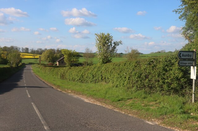
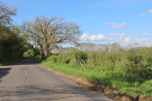
Barber's Hill is surrounded by fertile farmland, which contributes to the village's economy. Agriculture plays a significant role in the local community, with many residents involved in farming and related industries. The village is also home to a few small businesses, including a cozy pub and a local convenience store, catering to the needs of both residents and visitors.

Nature enthusiasts are drawn to Barber's Hill for its scenic beauty and tranquil atmosphere. The surrounding countryside offers numerous walking and cycling trails, allowing visitors to explore the idyllic landscapes and enjoy the fresh air. Additionally, the village is a short distance from the Lincolnshire Wolds, an Area of Outstanding Natural Beauty, providing further opportunities for outdoor activities.

Overall, Barber's Hill, Lincolnshire, is a charming village that offers a peaceful retreat from the hustle and bustle of city life. Its beautiful landscapes, well-preserved architecture, and strong community spirit make it a sought-after destination for those seeking a taste of rural England.

If you have any feedback on the listing, please let us know in the comments section below.

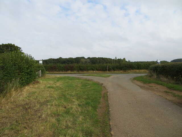
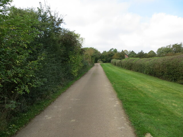
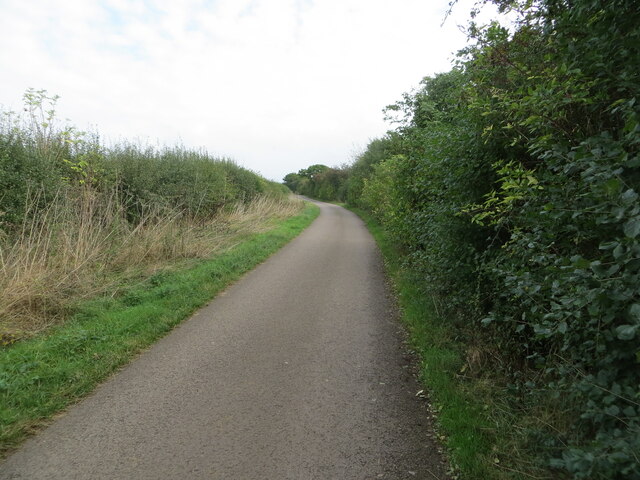
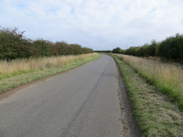
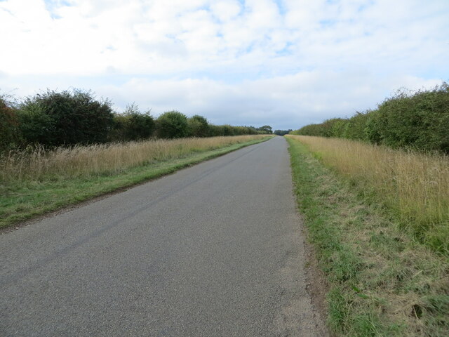
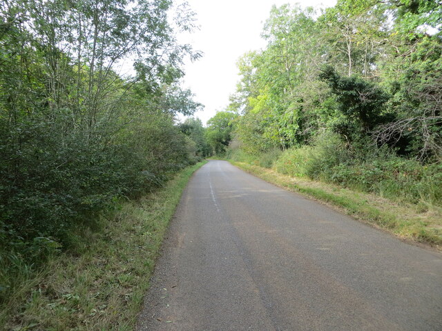
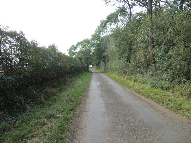
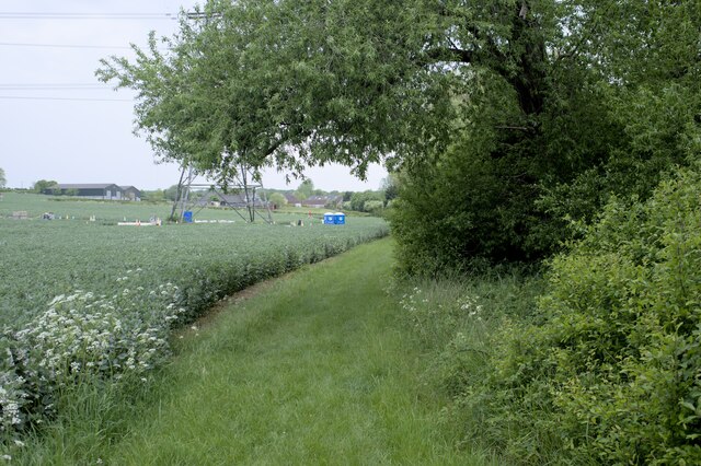
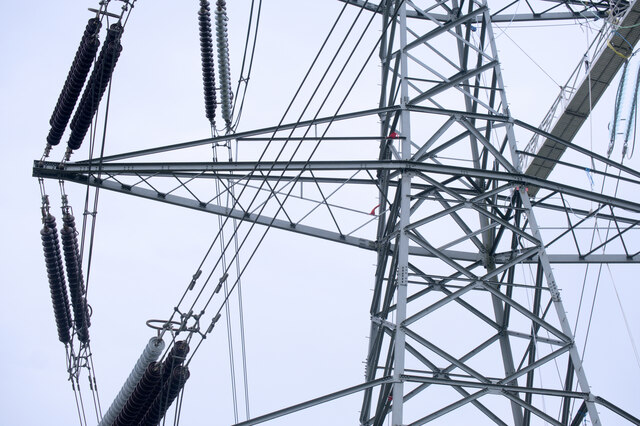
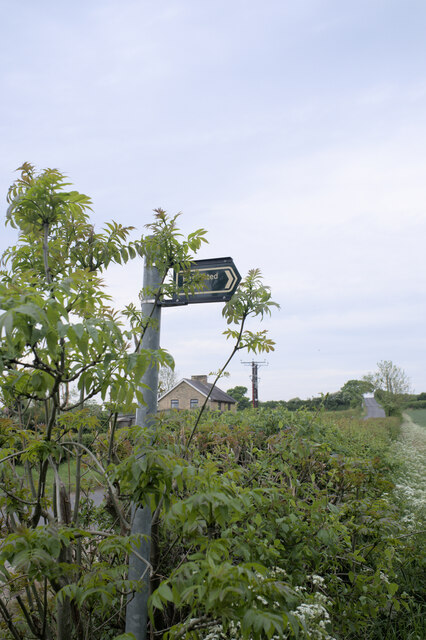
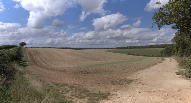
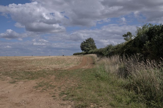
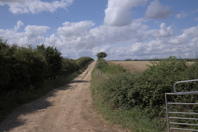
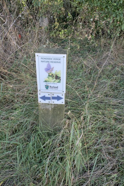
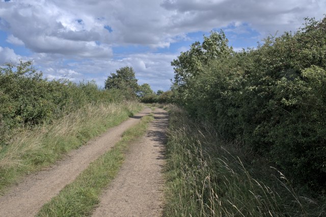
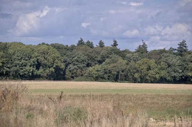
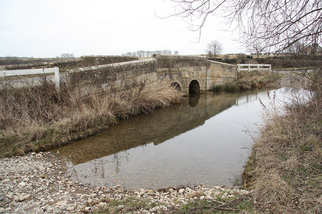
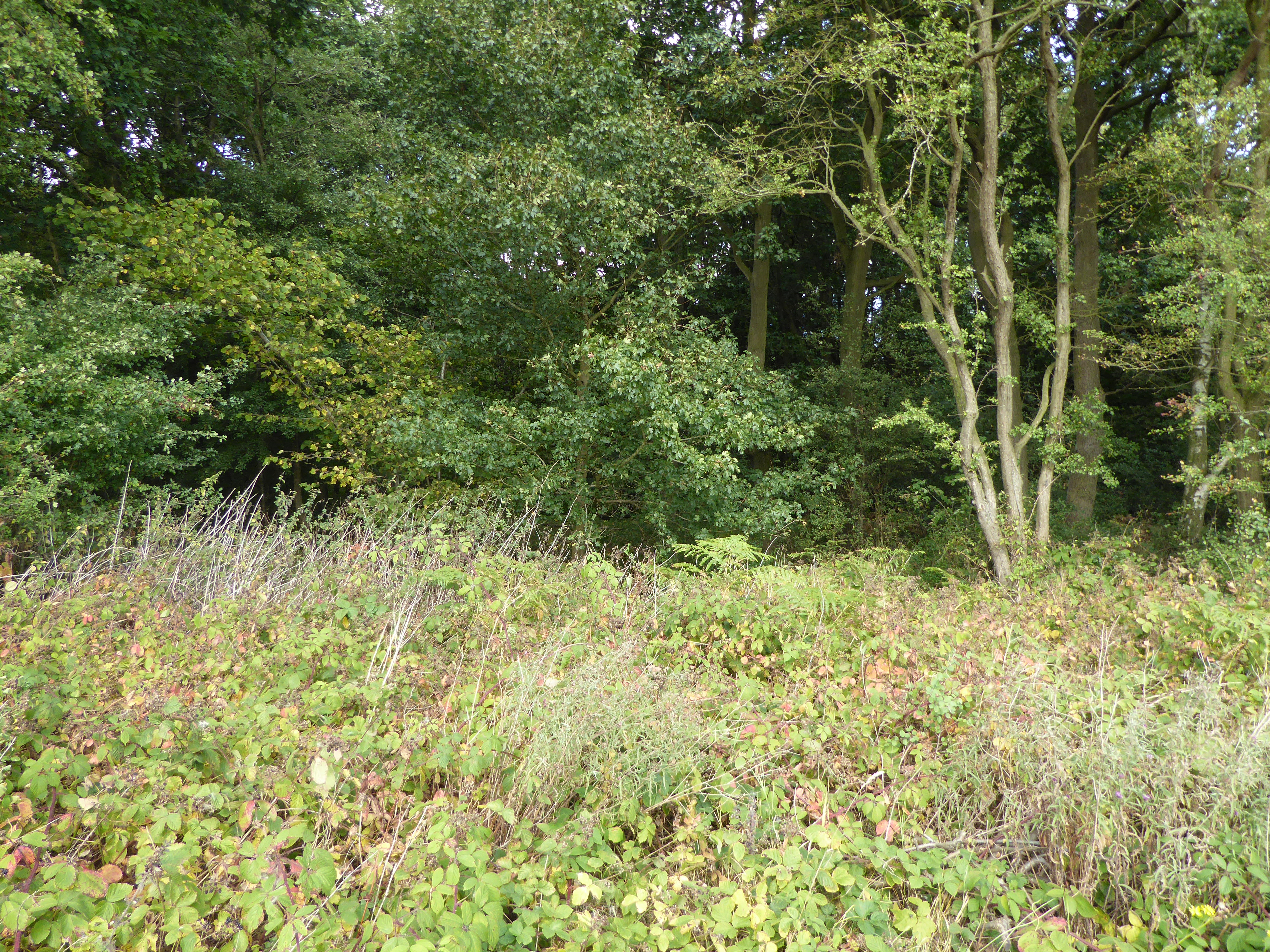
Barber's Hill Images

Images are sourced within 2km of 52.716024/-0.49358718 or Grid Reference TF0114. Thanks to Geograph Open Source API. All images are credited.

The Drift at its junction with the B1176 road Looking north-eastward.
The Drift at its junction with the B1176 road
Looking north-eastward.
The Drift as a public road ends here but continues as a by-way Looking north-westward
The Drift as a public road ends here but continues as a by-way
Looking north-westward
The Drift near to Clay Hill Looking south-eastward.
The Drift near to Clay Hill
Looking south-eastward.
Road heading towards Vale Farm Looking south-eastward.
Road heading towards Vale Farm
Looking south-eastward.
Road heading towards Little Warren and Castle Dyke Looking north-westward.
Road heading towards Little Warren and Castle Dyke
Looking north-westward.
Tree and hedge enclosed road at Little Warren Wood Looking north-westward.
Tree and hedge enclosed road at Little Warren Wood
Looking north-westward.
Hedge and tree enclosed minor road at Castle Dyke Looking south-westward.
Hedge and tree enclosed minor road at Castle Dyke
Looking south-westward.
Restricted Byway Sections 47-50 of the 2000 Act introduce a new category of highway called 
the “restricted byway”. A restricted byway is defined as a highway over which 
the public have restricted byway rights, with or without the right to drive 
animals of any description.  This replaced the concept of a "road used as a public path".

This track is a restricted byway.  See <a href="https://www.geograph.org.uk/photo/7175487">TF0214 : Restricted Byway sign</a>.

A little further on is the camp for one of the wire-pulling bases used to re-string the 400kV line through Lincolnshire
Restricted Byway
Sections 47-50 of the 2000 Act introduce a new category of highway called the “restricted byway”. A restricted byway is defined as a highway over which the public have restricted byway rights, with or without the right to drive animals of any description. This replaced the concept of a "road used as a public path". This track is a restricted byway. See TF0214 : Restricted Byway sign. A little further on is the camp for one of the wire-pulling bases used to re-string the 400kV line through Lincolnshire
Criss-Cross Patterns against the sky of the wires and structure of a pylon, including (on the right) a pulling platform used for changing the wires.
Criss-Cross
Patterns against the sky of the wires and structure of a pylon, including (on the right) a pulling platform used for changing the wires.
Restricted Byway sign Sections 47-50 of the 2000 Act introduced a new category of highway called 
the “restricted byway”. A restricted byway is defined as a highway over which 
the public have restricted byway rights, with or without the right to drive 
animals of any description.  No motorised vehicles are permitted.
Restricted Byway sign
Sections 47-50 of the 2000 Act introduced a new category of highway called the “restricted byway”. A restricted byway is defined as a highway over which the public have restricted byway rights, with or without the right to drive animals of any description. No motorised vehicles are permitted.
Stamford Road, Aunby
Stamford Road south of Careby
Gently rolling hills Rutland is a fractal surface - it's a bit more than 2 dimensional.  The tiny folds and ridges of the fields round here can be surprising steep, if short to climb.

This image is stitched from 6 others, giving a panorama some 90 degrees wide.
Gently rolling hills
Rutland is a fractal surface - it's a bit more than 2 dimensional. The tiny folds and ridges of the fields round here can be surprising steep, if short to climb. This image is stitched from 6 others, giving a panorama some 90 degrees wide.
A field in Rutland
A field in Rutland
The Drift An unmade road in Rutland.  We are here looking toward Pickworth.
The Drift
An unmade road in Rutland. We are here looking toward Pickworth.
Nature reserve verge There is one of these signs on each side of the drift.  The verges are full of butterflies
Nature reserve verge
There is one of these signs on each side of the drift. The verges are full of butterflies
Along the drift Looking along the track toward the East
Along the drift
Looking along the track toward the East
Looking toward Newell Wood
Show me another place!

Barber's Hill is located at Grid Ref: TF0114 (Lat: 52.716024, Lng: -0.49358718)

Administrative County: Lincolnshire

District: South Kesteven

Police Authority: Lincolnshire

What 3 Words

///mirroring.ventures.proof. Near Pickworth, Rutland

Nearby Locations

Barber's Hill The Heath

Related Wikis

Nearby Amenities

Located within 500m of 52.716024,-0.49358718
Addr Housename: Aunby Lodge Farm
Alt Name: Lodge Farm
Source: Bing
Lat/Long: 52.7161356/-0.4866062
Addr Housename: Mill View
Source Addr: OS OpenData StreetView
Lat/Long: 52.7193107/-0.4897986
Lodge Farm
Place: farm
Lat/Long: 52.71611/-0.4865957
The data included in this document is from www.openstreetmap.org. The data is made available under ODbL.

Have you been to Barber's Hill?

Leave your review of Barber's Hill below (or comments, questions and feedback).