Limbourne Hill
Hill, Mountain in Sussex Chichester
England
Limbourne Hill
Limbourne Hill is a prominent landform located in Sussex, England. Situated in the South Downs, it is classified as a hill rather than a mountain, reaching an elevation of approximately 214 meters (702 feet) above sea level. The hill is positioned in the district of Mid Sussex, within close proximity to the village of Hassocks.
The landscape surrounding Limbourne Hill is characterized by rolling green countryside, with picturesque views stretching across the region. The hill itself features a grassy summit, which is accessible via several footpaths and trails, making it a popular destination for hikers and nature enthusiasts. From the top, visitors are treated to breathtaking vistas of the surrounding area, including the South Downs National Park.
The geology of Limbourne Hill is predominantly composed of chalk, a characteristic feature of the South Downs region. This chalk formation contributes to the distinctive appearance of the hill, with its white, chalky slopes adding to its visual appeal.
In addition to its natural beauty, Limbourne Hill is also home to a variety of flora and fauna. The grassy slopes provide a habitat for a range of plant species, while the surrounding woodlands support a diverse array of wildlife, including birds and small mammals.
Overall, Limbourne Hill offers visitors a chance to immerse themselves in the scenic beauty and tranquility of the Sussex countryside, making it a cherished landmark in the region.
If you have any feedback on the listing, please let us know in the comments section below.
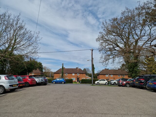
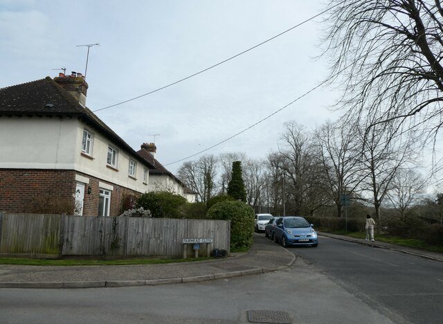
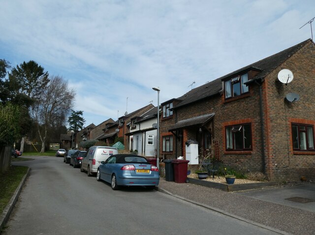
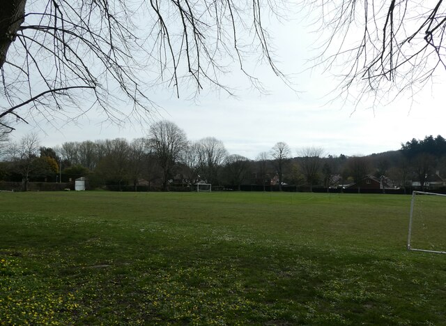
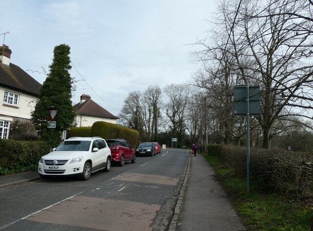
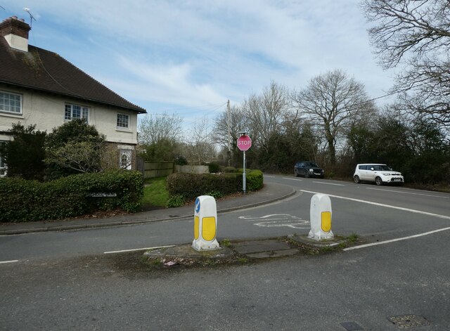
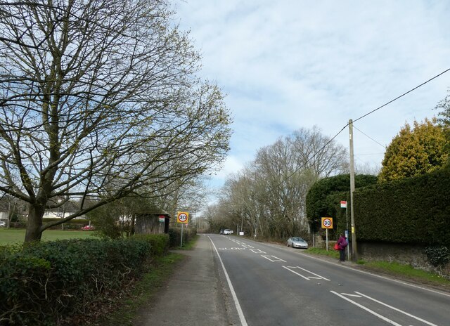
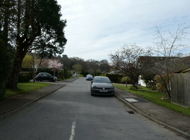
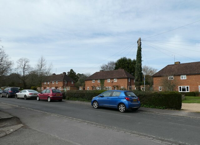
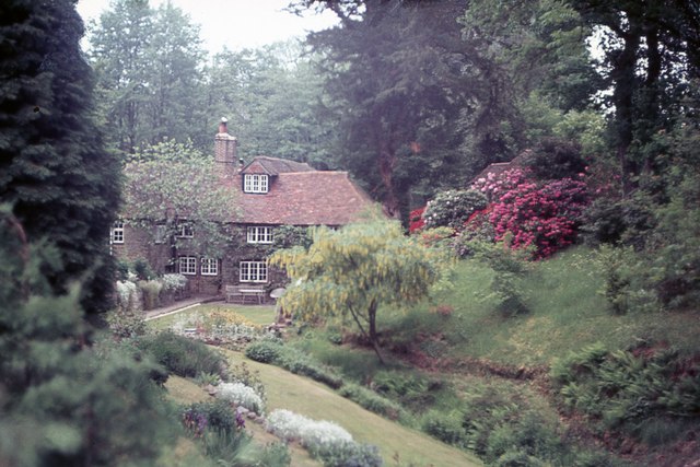
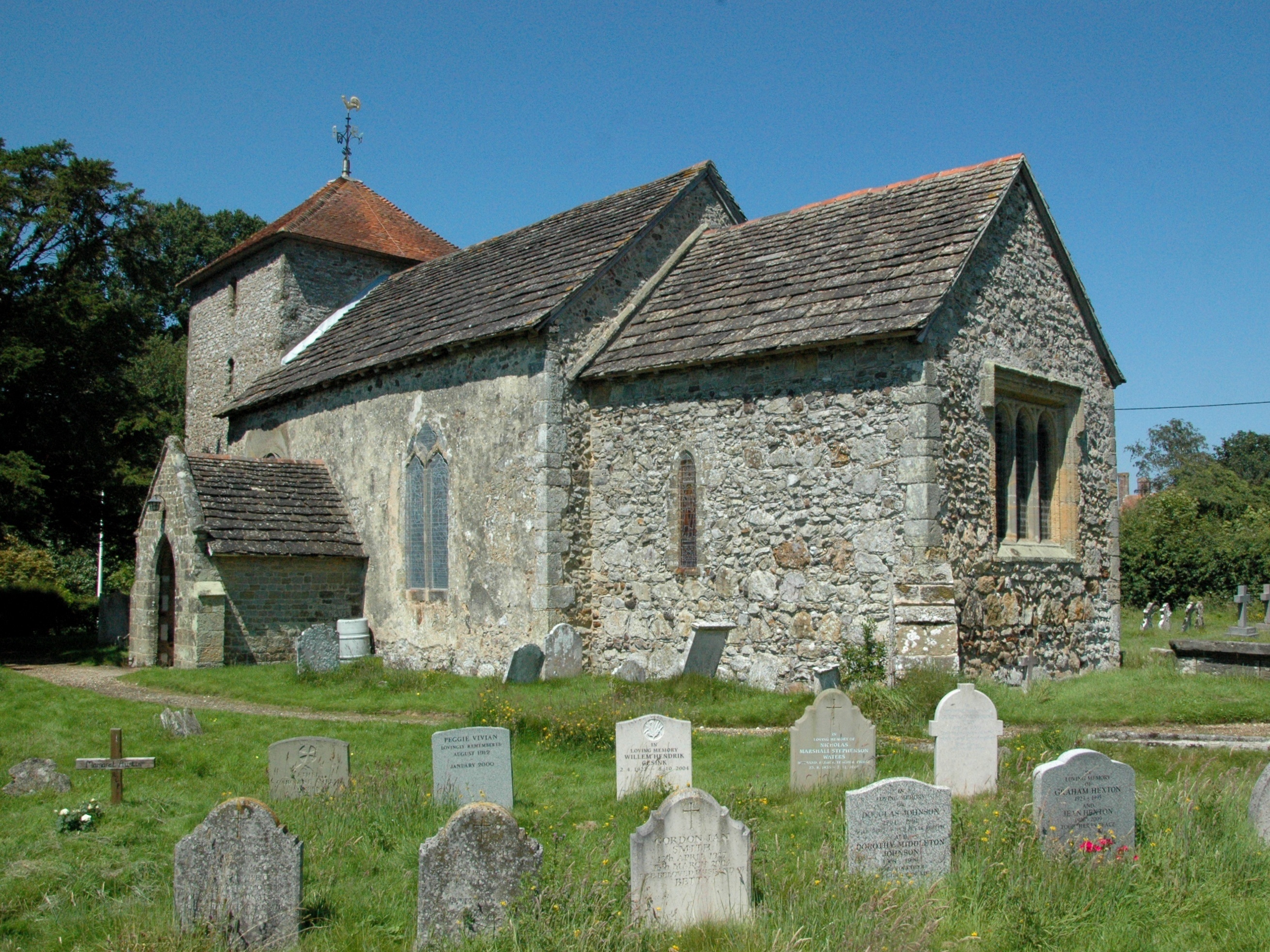
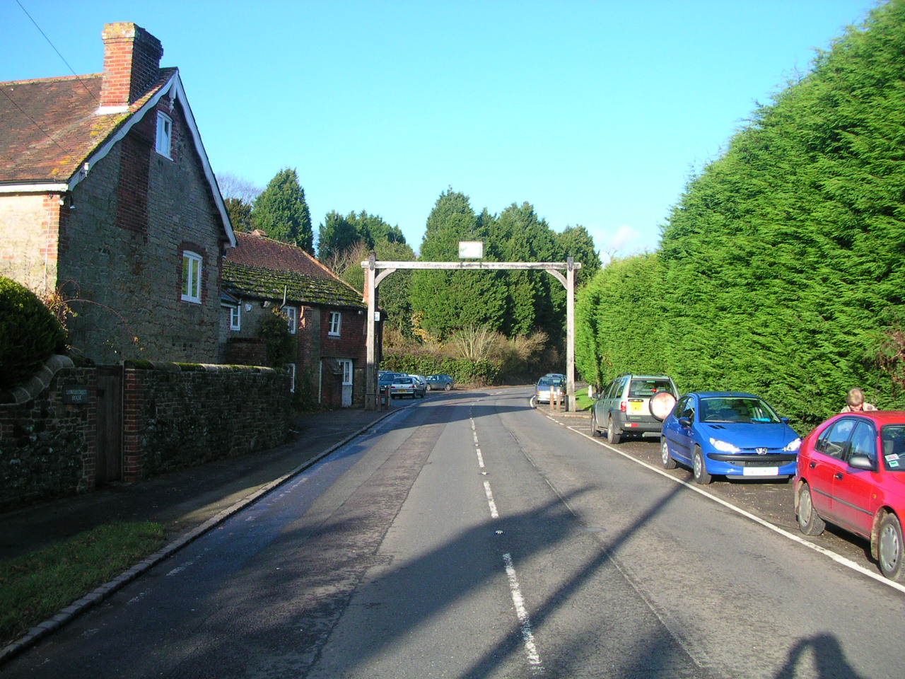
Limbourne Hill Images
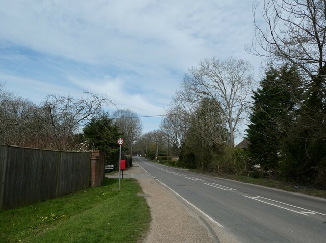
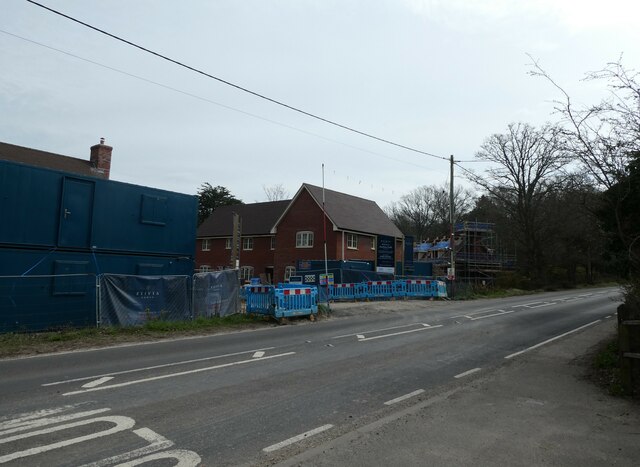
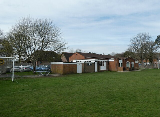
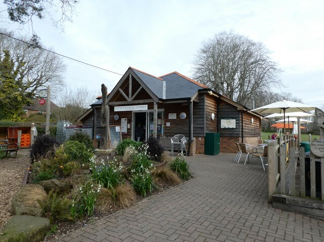
Images are sourced within 2km of 50.96363/-0.55133293 or Grid Reference TQ0119. Thanks to Geograph Open Source API. All images are credited.


Limbourne Hill is located at Grid Ref: TQ0119 (Lat: 50.96363, Lng: -0.55133293)
Administrative County: West Sussex
District: Chichester
Police Authority: Sussex
What 3 Words
///ratty.waltz.custodial. Near Pulborough, West Sussex
Nearby Locations
Related Wikis
Stopham
Stopham is a hamlet and civil parish in the District of Chichester in West Sussex, England, about 1.5 miles (2.4 km) west of Pulborough on the A283 road...
Fittleworth
Fittleworth is a village and civil parish in the District of Chichester in West Sussex, England located seven kilometres (3 miles) west from Pulborough...

Bedham
Bedham is a hamlet 4 kilometres (2+1⁄2 miles) east of Petworth in the Chichester District of West Sussex, England. It is in the civil parish of Wisborough...

Fittleworth railway station
Fittleworth railway station served the village of Fittleworth in the county of West Sussex in England. It was on the London Brighton and South Coast Railway...
Nearby Amenities
Located within 500m of 50.96363,-0.55133293Have you been to Limbourne Hill?
Leave your review of Limbourne Hill below (or comments, questions and feedback).