Crickets Hill

Hill, Mountain in Surrey Guildford

England

Crickets Hill

Sutton Green Road at the junction of New Lane
Sutton Green Road at the junction of New Lane Credit: David Howard

Crickets Hill is a picturesque area located in Surrey, England. As the name suggests, it is a hilly terrain characterized by lush greenery and breathtaking landscapes. Situated in the southeastern part of the county, Crickets Hill is part of the North Downs, a range of chalk hills that extends across Surrey and Kent.

The hill itself is relatively small, with an elevation of approximately 150 meters (492 feet) above sea level. Despite its modest height, Crickets Hill offers stunning panoramic views of the surrounding countryside. On a clear day, visitors can see as far as the Surrey Hills Area of Outstanding Natural Beauty, which lies to the southwest.

The area is a haven for nature enthusiasts and hikers, as it boasts an extensive network of footpaths and bridleways. These paths meander through woodlands, open fields, and rolling hills, providing opportunities for leisurely strolls or more challenging hikes. The diverse flora and fauna found on Crickets Hill make it a popular spot for birdwatching and wildlife observation.

Crickets Hill is also steeped in history. The area has evidence of ancient human occupation, with archaeological finds suggesting its use as a settlement in the Iron Age and Roman periods. Today, remnants of these past civilizations can still be seen, including Roman roads and burial mounds.

Overall, Crickets Hill offers a tranquil escape from the hustle and bustle of city life. Its natural beauty, combined with its rich history, makes it a must-visit destination for those seeking a taste of the English countryside.

If you have any feedback on the listing, please let us know in the comments section below.

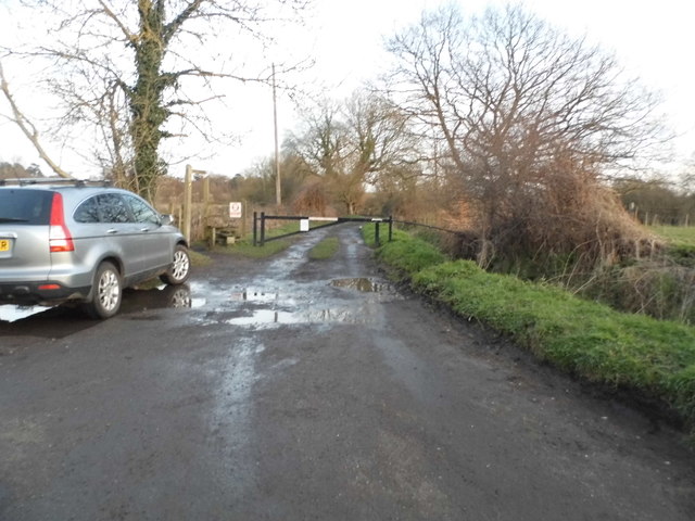
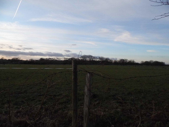
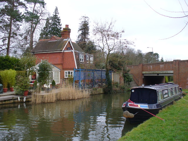
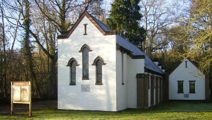
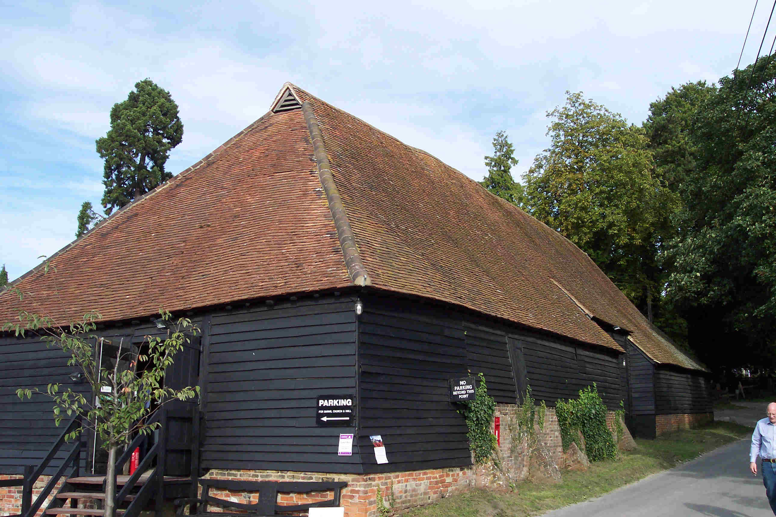
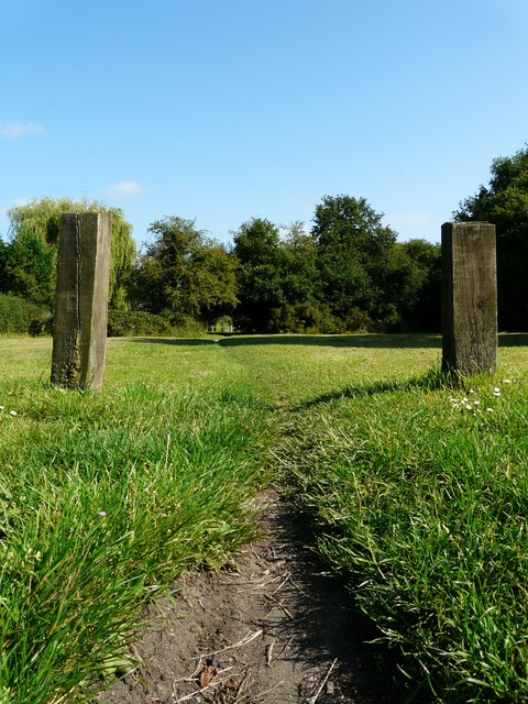
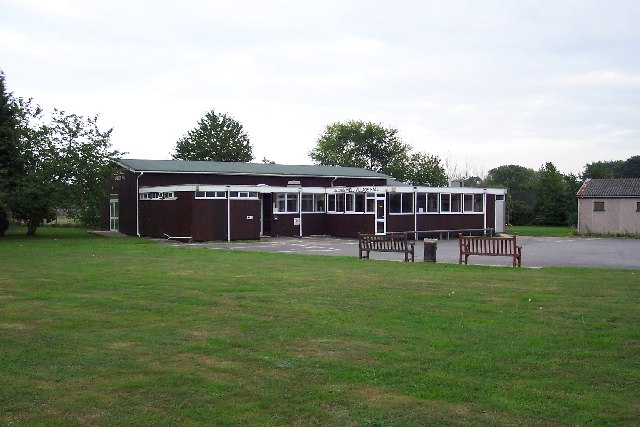
Crickets Hill Images

Images are sourced within 2km of 51.282859/-0.54035264 or Grid Reference TQ0154. Thanks to Geograph Open Source API. All images are credited.

Sutton Green Road at the junction of New Lane
Private track at the end of Runtley Wood Lane
The entrance to Runtleywood Farm
Field by Runtleywood Farm
Runtley Wood Lane, Sutton Green
Sunset over Runtley Wood Lane, Sutton Green
Field by Runtleywood Farm
Lower Westfield Farm, Sutton Green
Trees by Robin Hood Lane, Sutton Green
Robin Hood Lane, Sutton Green
Field by Robin Hood Lane, Sutton Green
Robin Hood Lane, Sutton Green
New building by Lower Westfield Farm This is the approximate location (looking west towards the sunset), as it's not yet up on Google but I wasn't anywhere else at that moment.
New building by Lower Westfield Farm
This is the approximate location (looking west towards the sunset), as it's not yet up on Google but I wasn't anywhere else at that moment.
Footpath near Sutton Green
St Edward the Confessor church, Sutton Park
House near Sutton Green Road
Show me another place!

Crickets Hill is located at Grid Ref: TQ0154 (Lat: 51.282859, Lng: -0.54035264)

Administrative County: Surrey

District: Guildford

Police Authority: Surrey

What 3 Words

///summer.towns.atom. Near Send, Surrey

Nearby Locations

Crickets Hill Send Grove

Related Wikis

Nearby Amenities

Located within 500m of 51.282859,-0.54035264
Post Box
Brand: Royal Mail
Brand Wikidata: Q638098
Collection Plate: CP7D
Collection Times: Mo-Fr 09:00; Sa 07:00
Operator: Royal Mail
Operator Wikidata: Q638098
Post Box Mounting: pier
Post Box Type: lamp
Ref: GU23 168D
Royal Cypher: EIIR
Royal Cypher Wikidata: Q33102113
Source: survey
Survey Point: 2022-08-28
Lat/Long: 51.28002/-0.5360025
Power: substation
Lat/Long: 51.2794061/-0.5378324
Barrier: stile
Lat/Long: 51.2801058/-0.5412702
Fell Hill
Place: hamlet
Source: os_street_view
Lat/Long: 51.2798399/-0.535844
Crickets Hill
Place: locality
Source: os_street_view
Lat/Long: 51.2843086/-0.5426328
Send Hill Riding Stables
Landuse: farm
Note Retag: CS #48756035
Source: os_street_view
Lat/Long: 51.2810437/-0.5347137
Barrier: entrance
Lat/Long: 51.27928/-0.5404995
Surrey Bouncy Castles
Lat/Long: 51.2838221/-0.5394374
Barrier: stile
Lat/Long: 51.281137/-0.5359471
Barrier: stile
Lat/Long: 51.2800602/-0.5348106
The data included in this document is from www.openstreetmap.org. The data is made available under ODbL.

Have you been to Crickets Hill?

Leave your review of Crickets Hill below (or comments, questions and feedback).