Champs Hill

Hill, Mountain in Sussex Horsham

England

Champs Hill

Pondweed on the north side of Amberley Wild Brooks
Pondweed on the north side of Amberley Wild Brooks Credit: Ian Cunliffe

Champs Hill is a picturesque hill located in the county of Sussex, England. Situated in the South Downs National Park, this hill offers breathtaking views of the surrounding countryside and is a popular destination for nature lovers, hikers, and photographers.

Rising to an elevation of approximately 208 meters (682 feet), Champs Hill is not classified as a mountain but rather a prominent hill within the region. It is part of a range of rolling hills that stretch across Sussex, characterized by their gentle slopes and lush greenery. The hill is formed mainly of chalk, giving it a distinctive white appearance, especially when the sun shines upon it.

The area surrounding Champs Hill is rich in flora and fauna, with an abundance of wildflowers, oak trees, and hedgerows. Numerous footpaths and trails crisscross the hill, offering visitors the opportunity to explore the countryside and enjoy the tranquil atmosphere. The South Downs Way, a long-distance footpath, also passes nearby, attracting walkers and outdoor enthusiasts from all over.

Champs Hill is not only renowned for its natural beauty but also for its cultural significance. At the foot of the hill lies the Champs Hill Estate, which houses a world-class concert hall and recording studio. This venue has hosted numerous classical music performances and recordings, attracting acclaimed musicians and artists.

Champs Hill, with its stunning vistas, diverse wildlife, and cultural offerings, is a true gem within the Sussex landscape. Whether one chooses to hike its slopes, capture its beauty on camera, or indulge in a musical performance, this hill provides a memorable experience for all who visit.

If you have any feedback on the listing, please let us know in the comments section below.
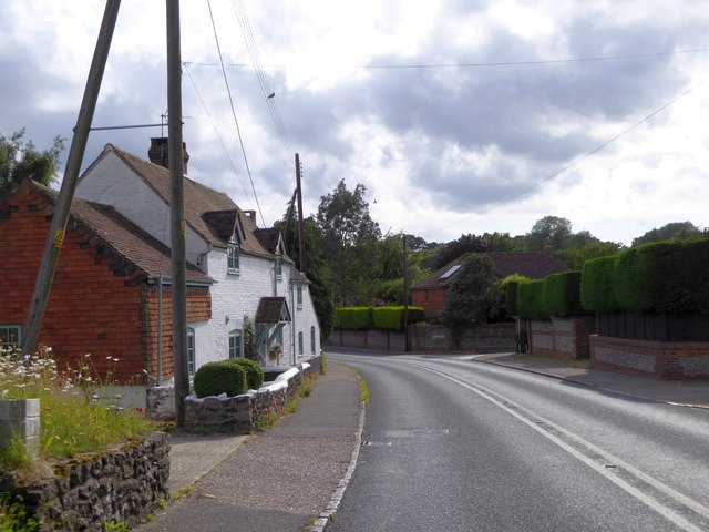
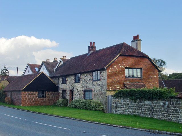
Champs Hill Images

Images are sourced within 2km of 50.939006/-0.54976399 or Grid Reference TQ0116. Thanks to Geograph Open Source API. All images are credited.

Pondweed on the north side of Amberley Wild Brooks
Footbridge carrying the Wey-South Path over a drainage ditch The vegetation hereabouts was exceptionally lush, and the path was overgrown. I'm not sure whether this is a consequence of the prolonged heat and sunshine. I've noticed it in other damp places too.
Footbridge carrying the Wey-South Path over a drainage ditch
The vegetation hereabouts was exceptionally lush, and the path was overgrown. I'm not sure whether this is a consequence of the prolonged heat and sunshine. I've noticed it in other damp places too.
Dock leaves These were very large leaves - c 60 cm in length. I assume this is a species of dock.
Dock leaves
These were very large leaves - c 60 cm in length. I assume this is a species of dock.
Isolated phone box near Greatham
Tree-lined road leading to Greatham Bridge
Greatham Bridge over River Arun
River Arun from Greatham Bridge
Reeds by the River Arun seen from Greatham Bridge There is a small raised bank to protect the surrounding fields when the water is high
Reeds by the River Arun seen from Greatham Bridge
There is a small raised bank to protect the surrounding fields when the water is high
Bus shelter by A29 in Coldwaltham
London Road, Watersfield
River Lane, Watersfield
Cottages at Tripp Hill, Lower Horncroft
Ditches in the Arun Valley
Rough grazing, Arun Valley
Farm building
Farm building
Arun Vale, Coldwaltham
Coldwaltham lock tail The Arun Navigation, now derelict, below the site of Coldwaltham lock, leading to the River Arun.  The lock is part of the Wey and Arun Canal, opened in 1787. However, this cut was opened three years later from east of  Coldwaltham north to Stopham, including a 343m tunnel under Hardham Hill which saved an eight kilometre loop in the river Arun, shallow and sometimes difficult to navigate.
Coldwaltham lock tail
The Arun Navigation, now derelict, below the site of Coldwaltham lock, leading to the River Arun. The lock is part of the Wey and Arun Canal, opened in 1787. However, this cut was opened three years later from east of Coldwaltham north to Stopham, including a 343m tunnel under Hardham Hill which saved an eight kilometre loop in the river Arun, shallow and sometimes difficult to navigate.
Show me another place!

Champs Hill is located at Grid Ref: TQ0116 (Lat: 50.939006, Lng: -0.54976399)

Administrative County: West Sussex

District: Horsham

Police Authority: Sussex

What 3 Words

///asset.shorthand.opened. Near Pulborough, West Sussex

Related Wikis

Coldwaltham

Coldwaltham is a village and civil parish in the Horsham District of West Sussex, England. It is divided in two by the A29 road and lies 2.4 miles (3.9...

Watersfield

Watersfield is a hamlet in the Horsham District of West Sussex, England. It lies on the A29 road 3.1 miles (5 km) southwest of Pulborough. At the 2011...
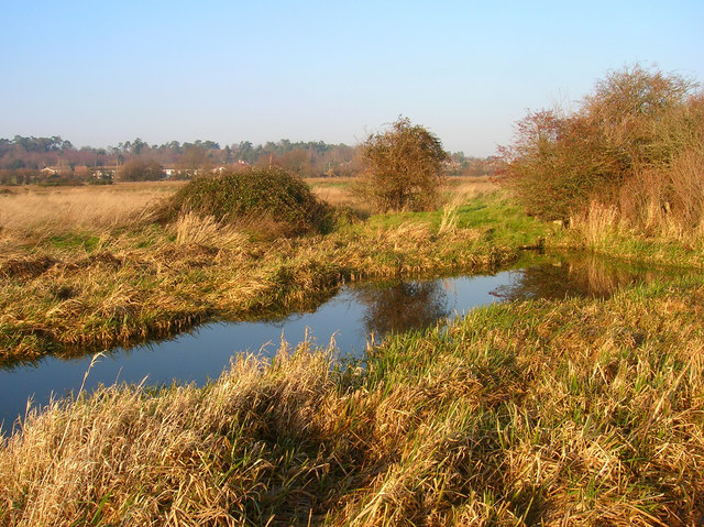
Waltham Brooks

Waltham Brooks is a 47.4-hectare (117-acre) biological Site of Special Scientific Interest south-west of Pulborough in West Sussex. It is owned and managed...

Hardham Priory

Hardham Priory was an Augustinian priory in Hardham, West Sussex, England. It was founded around 1248 by Sir William Dawtrey as a priory of Black Canons...

River Rother, West Sussex

The River Rother flows from Empshott in Hampshire, England, to Stopham in West Sussex, where it joins the River Arun. At 52 kilometres (32 mi) long, most...

Fittleworth railway station

Fittleworth railway station served the village of Fittleworth in the county of West Sussex in England. It was on the London Brighton and South Coast Railway...

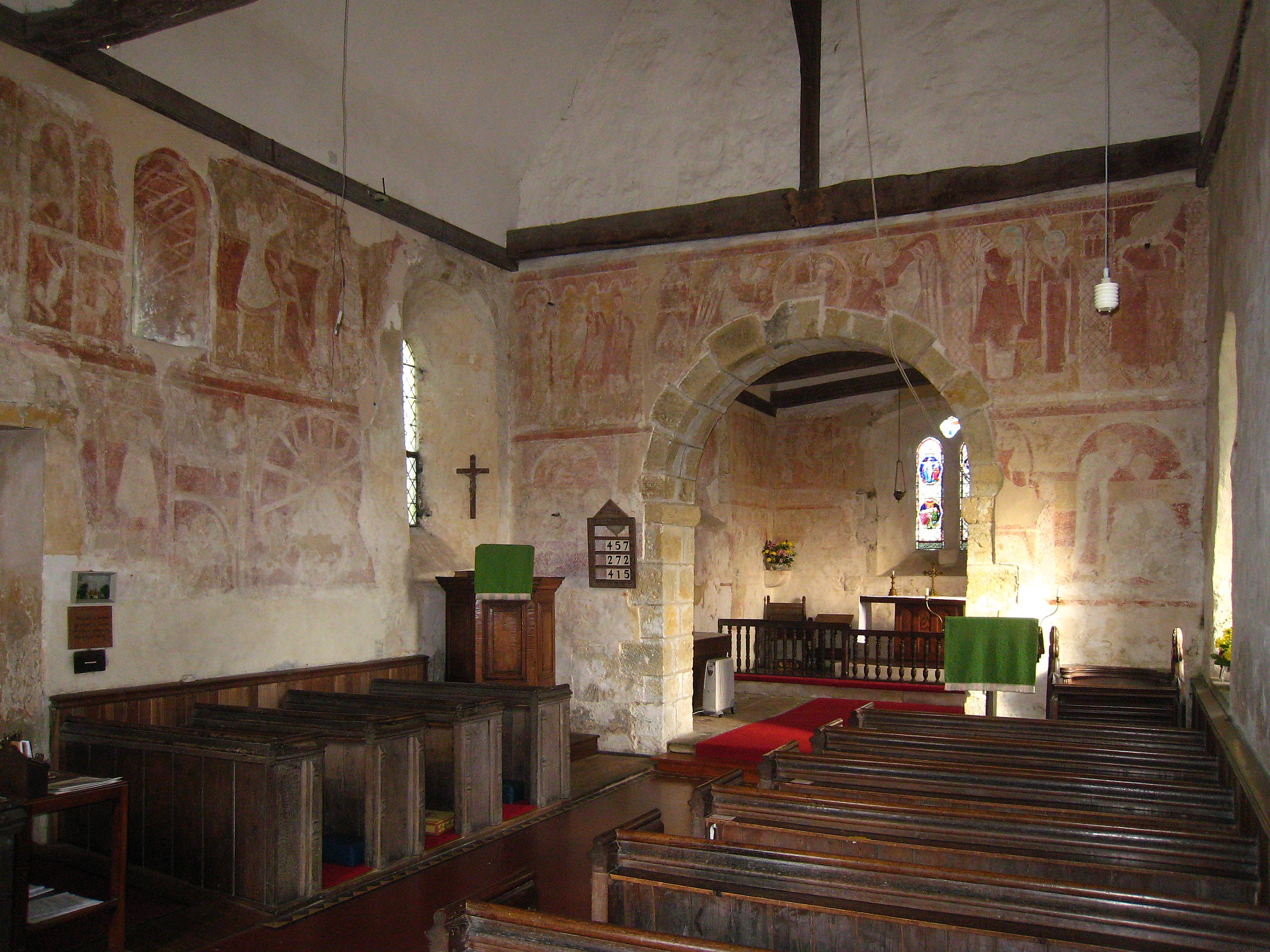
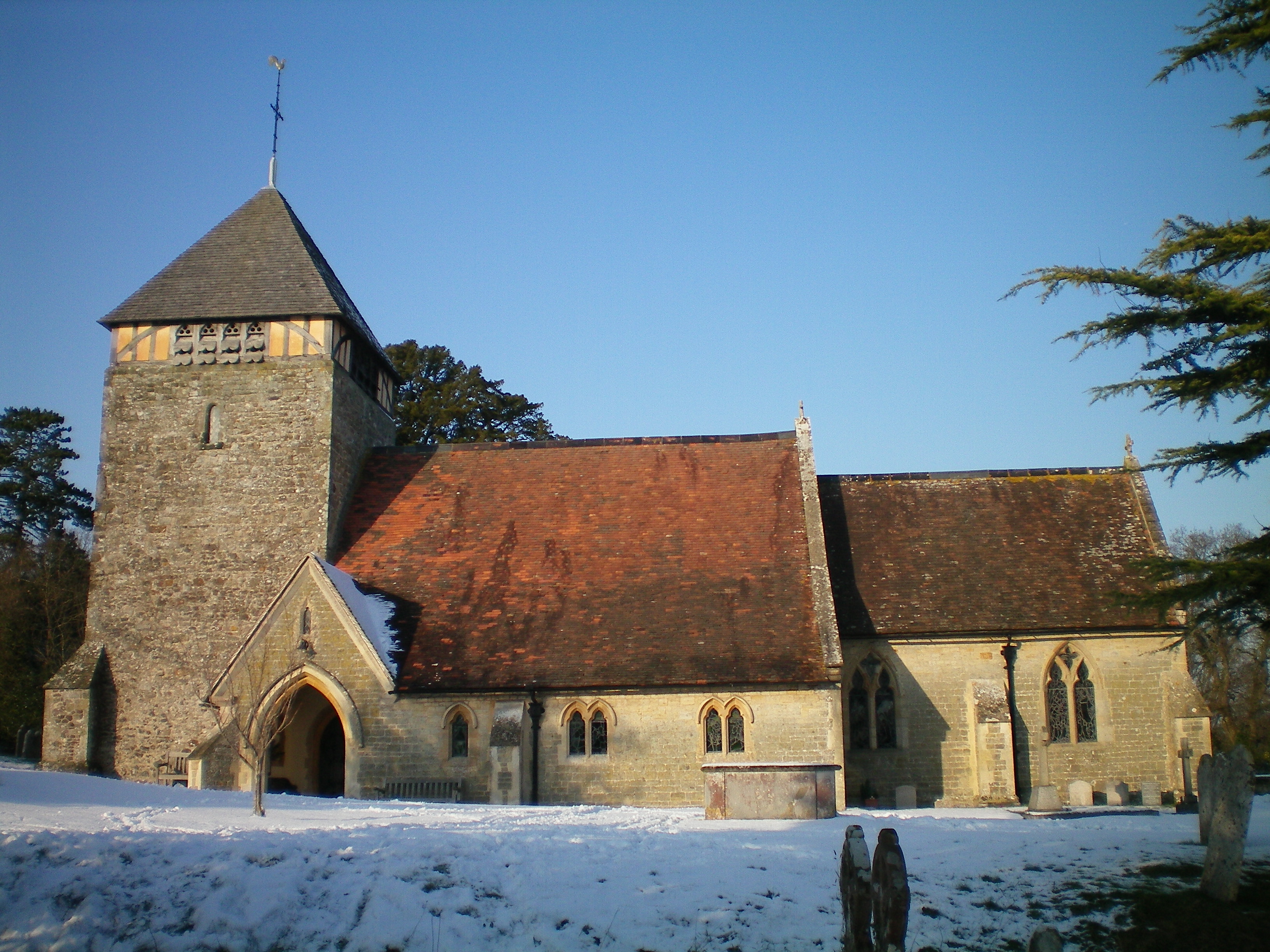
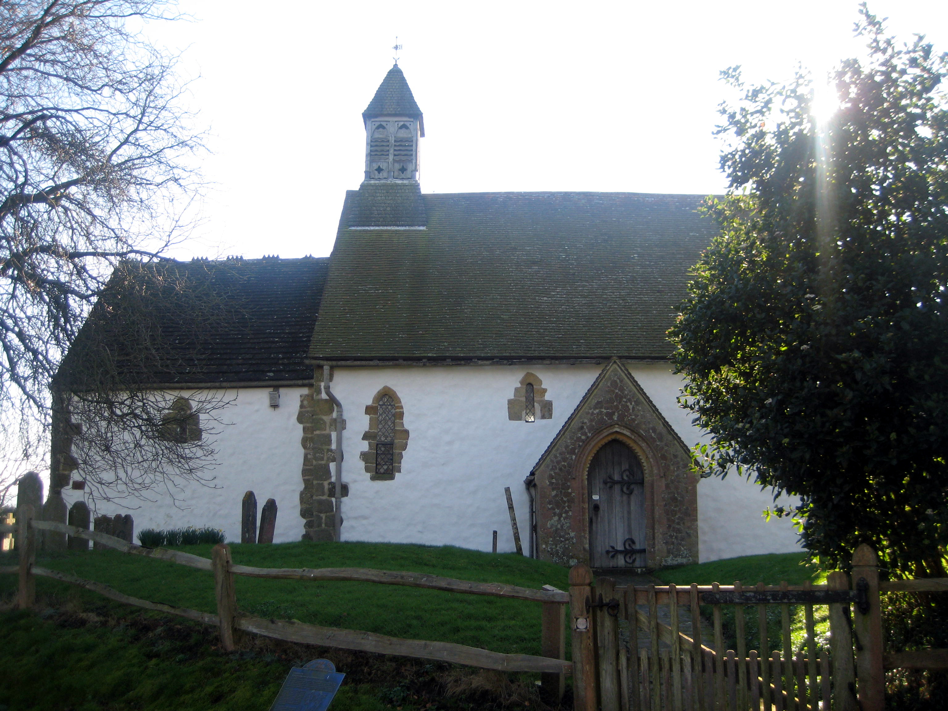
St Botolph's Church, Hardham

St Botolph's Church is the Church of England parish church of Hardham, West Sussex. It is in Horsham District and is a Grade I listed building. It contains...

Hardham

Hardham is a small village and former civil parish, now in the parish of Coldwaltham, in the Horsham district of West Sussex, England. It is on the A29...

Nearby Amenities

Located within 500m of 50.939006,-0.54976399
Coldwaltham
Is In: West Sussex, England, UK
Place: village
Wikidata: Q2003226
Lat/Long: 50.9374664/-0.5448989
Bus Stop
A29 Arun Vale
Bus: yes
Naptan AtcoCode: 4400HR0078
Naptan Bearing: SW
Naptan BusStopType: CUS
Naptan CommonName: A29 Arun Vale
Naptan Indicator: adj Silverdale
Naptan Landmark: Silverdale
Naptan NaptanCode: wsxatjdj
Naptan Street: London Road
Naptan Verified: yes
Public Transport: platform
Seats: 2
Shelter: yes
Shelter Type: public_transport
Source: naptan_import
Lat/Long: 50.9389356/-0.5441118
Bus Stop
Church
Bus: yes
Naptan AtcoCode: 4400HR0079
Naptan Bearing: NE
Naptan BusStopType: CUS
Naptan CommonName: Church
Naptan Indicator: opp Silverdale
Naptan Landmark: Church Lane
Naptan NaptanCode: wsxatjdm
Naptan Street: London Road
Naptan Verified: yes
Public Transport: platform
Source: naptan_import
Lat/Long: 50.9388001/-0.544785
Bus Stop
Brookview
Bus: yes
Naptan AtcoCode: 4400HR0080
Naptan Bearing: SW
Naptan CommonName: Brookview
Naptan Indicator: adj Brookview
Naptan Landmark: Brookview
Naptan NaptanCode: wsxatjdp
Naptan Street: London Road
Naptan Verified: no
Public Transport: platform
Source: naptan_import
Lat/Long: 50.9364126/-0.5494994
Bus Stop
Brookview
Bus: yes
Naptan AtcoCode: 4400HR0081
Naptan Bearing: NE
Naptan CommonName: Brookview
Naptan Indicator: opp. Brookview
Naptan Landmark: Brookview
Naptan NaptanCode: wsxatjdt
Naptan Street: London Road
Naptan Verified: no
Public Transport: platform
Source: naptan_import
Lat/Long: 50.9369687/-0.5486566
Post Box
Brand: Royal Mail
Brand Wikidata: Q638098
Brand Wikipedia: en:Royal Mail
Collection Plate: CP7
Collection Times: Mo-Fr 16:00; Sa 09:45
Operator: Royal Mail
Operator Wikidata: Q638098
Post Box Type: lamp
Ref: RH20 53
Royal Cypher: EIIR
Royal Cypher Wikidata: Q33102113
Lat/Long: 50.9382868/-0.5453834
Barrier: stile
Lat/Long: 50.9405019/-0.5452763
Barrier: stile
Lat/Long: 50.9412498/-0.546095
Barrier: stile
Lat/Long: 50.9423842/-0.5468449
Post Box
Collection Plate: CP7D
Collection Times: Mo-Fr 09:00; Sa 07:00
Operator: Royal Mail
Post Box Type: lamp
Ref: RH20 385D
Royal Cypher: EIIR
Royal Cypher Wikidata: Q33102113
Lat/Long: 50.9362797/-0.5473021
The data included in this document is from www.openstreetmap.org. The data is made available under ODbL.

Have you been to Champs Hill?

Leave your review of Champs Hill below (or comments, questions and feedback).