The Heath
Wood, Forest in Lincolnshire South Kesteven
England
The Heath
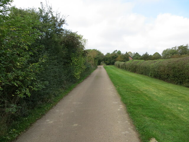
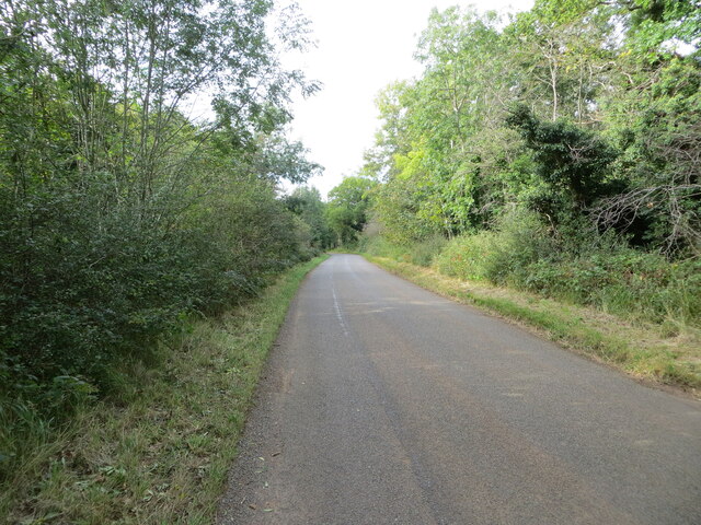
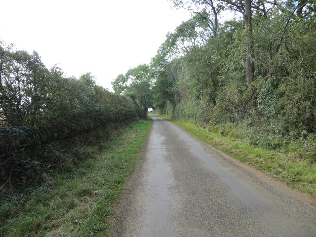
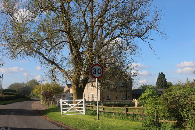
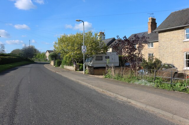
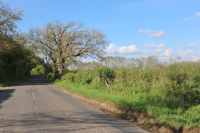
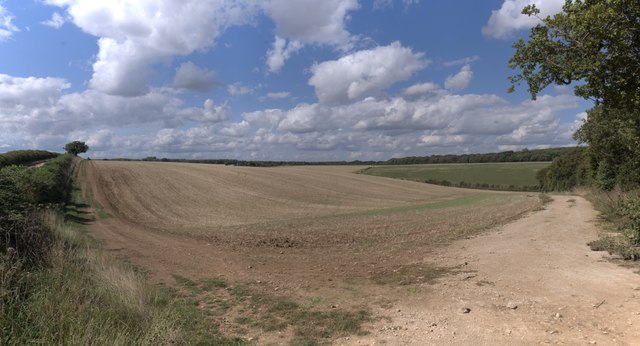
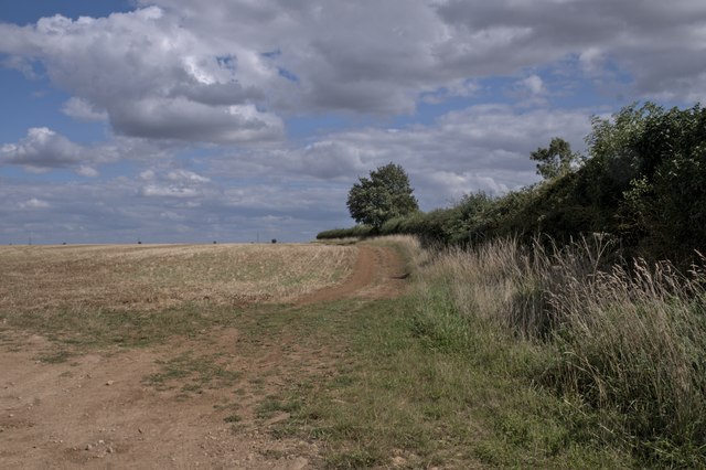
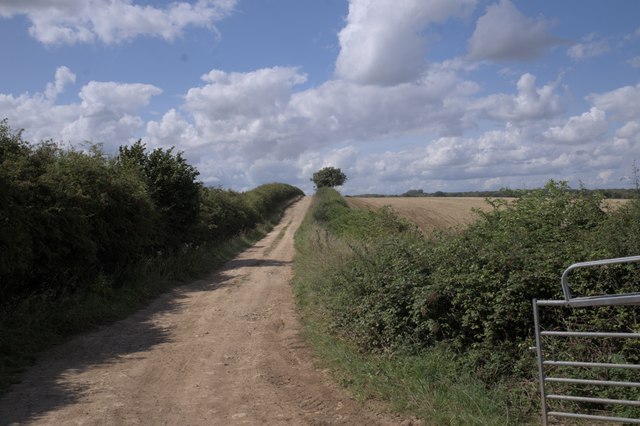
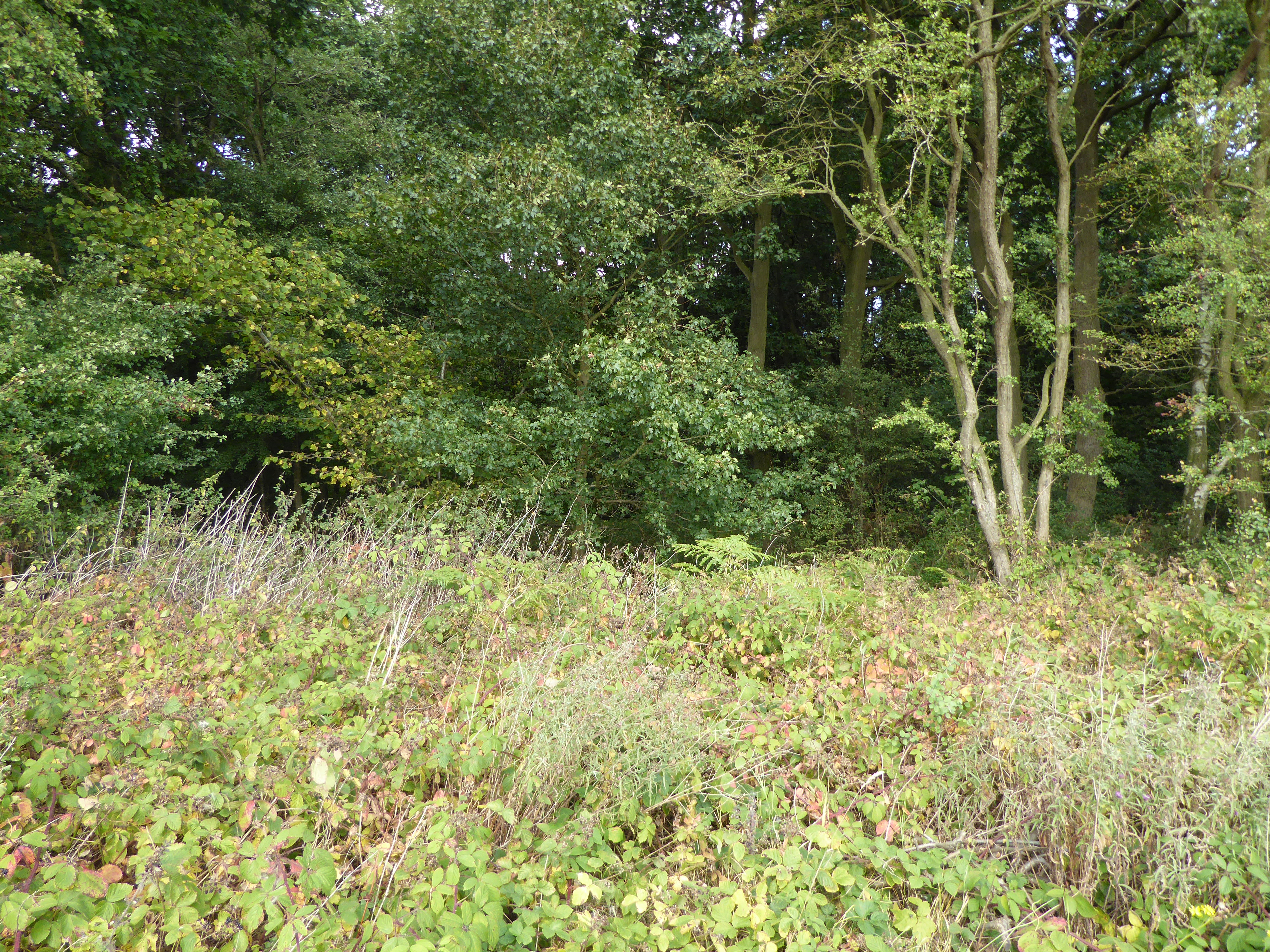
The Heath, Lincolnshire is a sprawling woodland located in the county of Lincolnshire, England. Covering an area of approximately 500 acres, it is known for its picturesque natural beauty and diverse flora and fauna. The woodland is primarily made up of ancient oak and beech trees, which provide a dense canopy and offer a habitat for a wide range of wildlife.
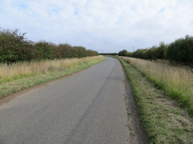
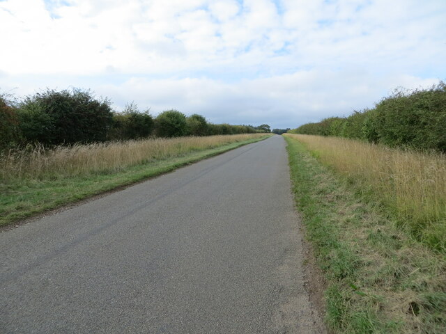
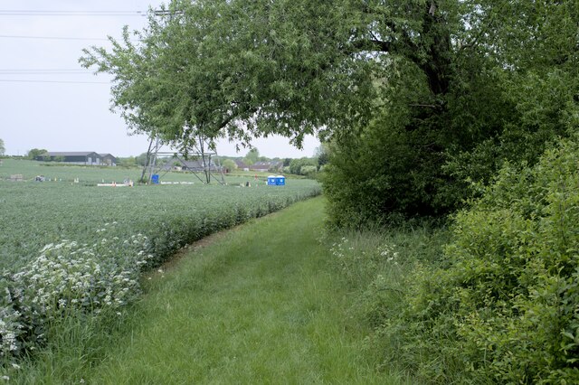
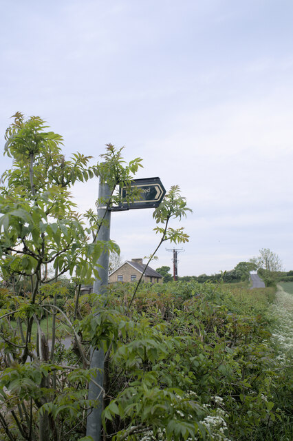
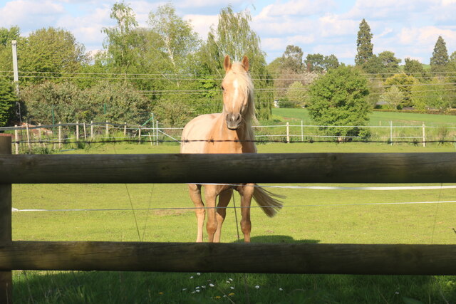
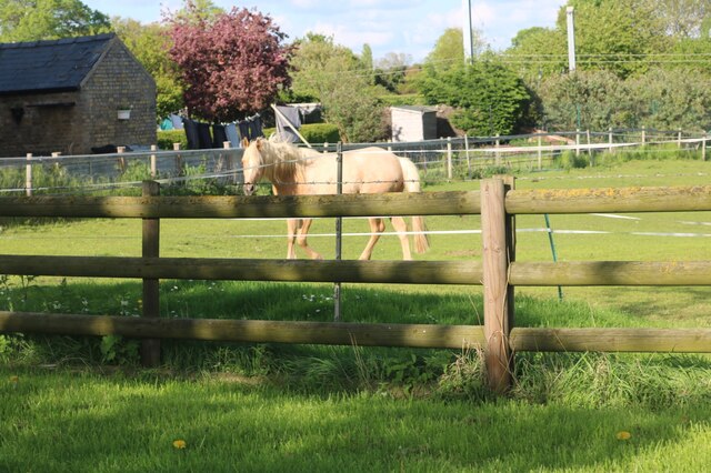
The Heath is a popular destination for nature enthusiasts, hikers, and birdwatchers due to its tranquil surroundings and abundance of wildlife. Visitors can explore the various walking trails that wind through the woodland, allowing them to immerse themselves in the peacefulness of nature. The woodland is home to numerous species of birds, including woodpeckers, owls, and various migratory birds.
Within The Heath, there are several natural features that add to its charm. A meandering stream flows through the woodland, offering a serene spot for visitors to relax and enjoy the sounds of nature. Additionally, there are several small ponds scattered throughout the area, which attract a variety of waterfowl and other aquatic creatures.
The Heath is also of historical significance, with evidence of human habitation dating back centuries. Remnants of old settlements and ancient burial sites have been discovered within the woodland, providing a glimpse into the area's rich history.
Overall, The Heath in Lincolnshire is a captivating woodland that offers visitors a chance to escape the hustle and bustle of daily life and immerse themselves in the beauty of nature.
If you have any feedback on the listing, please let us know in the comments section below.
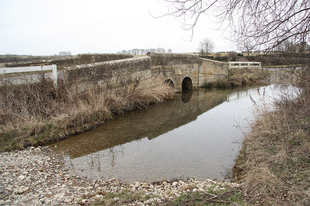
The Heath Images
Images are sourced within 2km of 52.719536/-0.50184637 or Grid Reference TF0114. Thanks to Geograph Open Source API. All images are credited.


The Heath is located at Grid Ref: TF0114 (Lat: 52.719536, Lng: -0.50184637)
Administrative County: Lincolnshire
District: South Kesteven
Police Authority: Lincolnshire
What 3 Words
///mining.barbarian.district. Near Pickworth, Rutland
Nearby Locations
Related Wikis
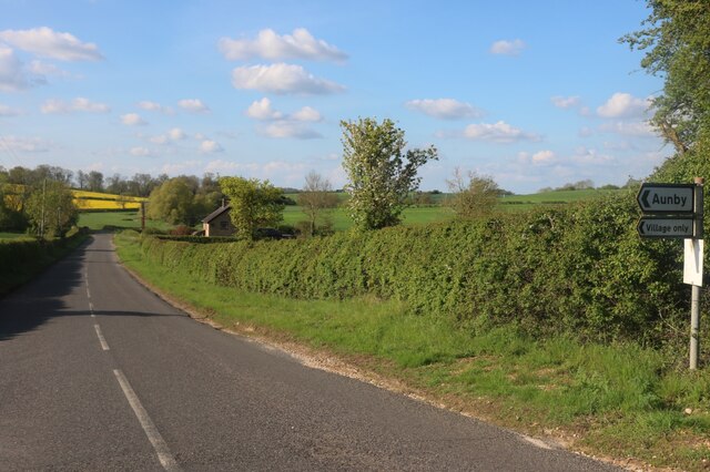
Aunby
Aunby is a village in the civil parish of Careby Aunby and Holywell, in the South Kesteven district of Lincolnshire, England. It is situated north from...
Newell Wood
Newell Wood is a 33.3-hectare (82-acre) biological Site of Special Scientific Interest east of Pickworth in Rutland, adjacent to Lincolnshire Gate. This...

Ryhall Pasture and Little Warren Verges
Ryhall Pasture and Little Warren Verges is a 6.2-hectare (15-acre) biological Site of Special Scientific Interest north of the village of Ryhall. Little...

Careby Aunby and Holywell
Careby Aunby and Holywell is a civil parish in the district of South Kesteven, south-west Lincolnshire, in England. It stretches from the county border...
Have you been to The Heath?
Leave your review of The Heath below (or comments, questions and feedback).