Minnett's Hill

Hill, Mountain in Lincolnshire South Kesteven

England

Minnett's Hill

Heath Lane The belt of trees on the horizon, Minnets Wood, sits on the top of the escarpment overlooking the Witham valley
Heath Lane Credit: Tim Heaton

Minnett's Hill is a prominent geographical feature located in Lincolnshire, England. Situated in the southern part of the county, this hill stands at an elevation of approximately 150 meters above sea level. While it may not qualify as a mountain by conventional standards, it is nevertheless considered a significant landmark in the area.

The hill is named after the Minnett family, who were early settlers in the region and played a crucial role in its development. It is believed that the Minnett family once owned the land surrounding the hill, hence the name.

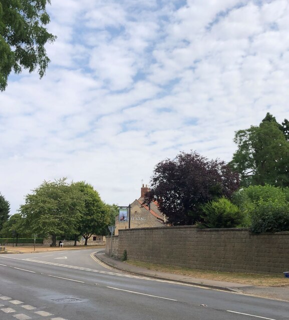
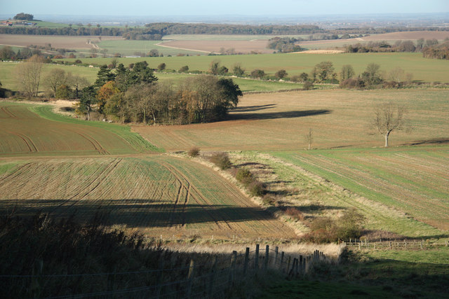
Minnett's Hill offers breathtaking panoramic views of the surrounding countryside, making it a popular destination for nature enthusiasts and hikers. The summit provides an excellent vantage point, allowing visitors to admire the vast expanse of green fields, rolling hills, and distant villages that characterize the Lincolnshire landscape.

The hill itself is covered in lush grass and scattered with a variety of wildflowers, adding to its natural beauty. It is home to a diverse range of flora and fauna, making it an important habitat for local wildlife.

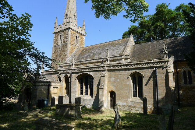
In addition to its natural appeal, Minnett's Hill also holds historical significance. It is believed that ancient settlements once thrived in the vicinity, and archaeological remains have been discovered in the surrounding area.

Overall, Minnett's Hill offers a unique blend of natural beauty, historical significance, and recreational opportunities, making it a cherished landmark in Lincolnshire.

If you have any feedback on the listing, please let us know in the comments section below.

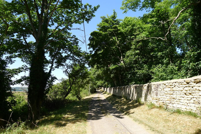
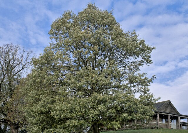
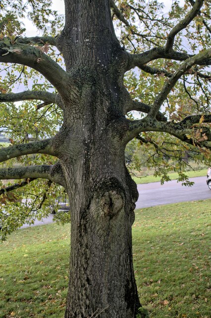
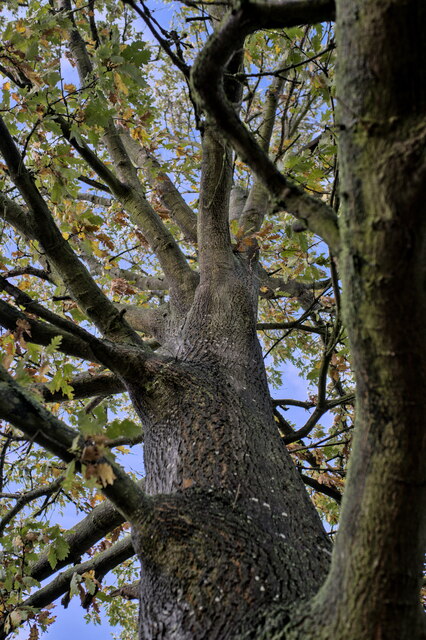
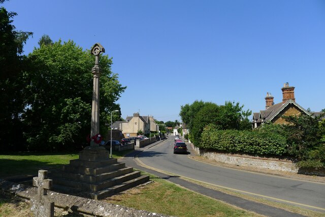
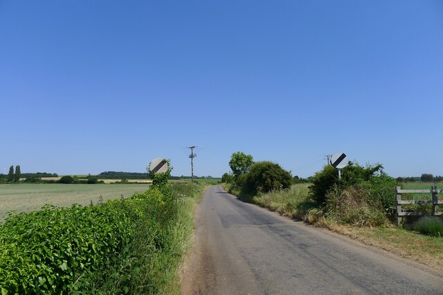
Minnett's Hill Images

Images are sourced within 2km of 52.962198/-0.60734016 or Grid Reference SK9341. Thanks to Geograph Open Source API. All images are credited.

Heath Lane The belt of trees on the horizon, Minnets Wood, sits on the top of the escarpment overlooking the Witham valley
Heath Lane
The belt of trees on the horizon, Minnets Wood, sits on the top of the escarpment overlooking the Witham valley
Heath Lane approaching Minnet's Wood Running towards the edge of the escarpment of Jurassic Lincolnshire Limestone
Heath Lane approaching Minnet's Wood
Running towards the edge of the escarpment of Jurassic Lincolnshire Limestone
North Lodge at the top of Minnett's Hill Once part of the former Syston Park estate. The hill drops down the Jurassic limestone escarpment towards the River Witham.
North Lodge at the top of Minnett's Hill
Once part of the former Syston Park estate. The hill drops down the Jurassic limestone escarpment towards the River Witham.
Green Lane, Syston, Grantham Running by the estate wall of the former Syston Park, on the edge of the Jurassic limestone scarpment overlooking Grantham
Green Lane, Syston, Grantham
Running by the estate wall of the former Syston Park, on the edge of the Jurassic limestone scarpment overlooking Grantham
Turkey Oak Quercus cerris, the Turkey Oak was introduced in 1700.
Turkey Oak
Quercus cerris, the Turkey Oak was introduced in 1700.
Quercus cerris The trunk of the tree seen in <a href="https://www.geograph.org.uk/photo/7339767">SK9340 : Turkey Oak</a>.
Quercus cerris
The trunk of the tree seen in SK9340 : Turkey Oak.
Always look up The crown and upper parts of the tree seen in <a href="https://www.geograph.org.uk/photo/7339767">SK9340 : Turkey Oak</a>.
Always look up
The crown and upper parts of the tree seen in SK9340 : Turkey Oak.
Quercus cerris, Turkey Oak The bark of the tree seen in <a href="https://www.geograph.org.uk/photo/7339767">SK9340 : Turkey Oak</a> and <a href="https://www.geograph.org.uk/photo/7339769">SK9340 : Quercus cerris</a>.
Quercus cerris, Turkey Oak
The bark of the tree seen in SK9340 : Turkey Oak and SK9340 : Quercus cerris.
Stag Inn, Barkston At the junction of Church Street and the A607
Stag Inn, Barkston
At the junction of Church Street and the A607
The main road through Barkston
Church of St Nicholas, Barkston Listed Grade I. "Norman to Perpendicular church. Mainly of 12th century date, of which tower with 14th century spire and south arcade remain, with 14th and 15th century alterations" <span class="nowrap"><a title="https://heritage-explorer.lincolnshire.gov.uk/Monument/MLI30411" rel="nofollow ugc noopener" href="https://heritage-explorer.lincolnshire.gov.uk/Monument/MLI30411">Link</a><img style="margin-left:2px;" alt="External link" title="External link - shift click to open in new window" src="https://s1.geograph.org.uk/img/external.png" width="10" height="10"/></span>
Church of St Nicholas, Barkston
Listed Grade I. "Norman to Perpendicular church. Mainly of 12th century date, of which tower with 14th century spire and south arcade remain, with 14th and 15th century alterations" LinkExternal link
War Memorial and Church Street, Barkston The memorial commemorates ten men of Barkston who fell in the 1st World War, and the one man who died in the 2nd World War <span class="nowrap"><a title="http://www.roll-of-honour.com/Lincolnshire/Barkston.html" rel="nofollow ugc noopener" href="http://www.roll-of-honour.com/Lincolnshire/Barkston.html">Link</a><img style="margin-left:2px;" alt="External link" title="External link - shift click to open in new window" src="https://s1.geograph.org.uk/img/external.png" width="10" height="10"/></span>
War Memorial and Church Street, Barkston
The memorial commemorates ten men of Barkston who fell in the 1st World War, and the one man who died in the 2nd World War LinkExternal link
Service station on the A607 through Barkston The Londis brand is now part of Tescos
Service station on the A607 through Barkston
The Londis brand is now part of Tescos
Hough Road leading north from Barkston Start of a pleasant cycle run towards Hough-on-the-Hill
Hough Road leading north from Barkston
Start of a pleasant cycle run towards Hough-on-the-Hill
Hough Lane Level Crossing Crossing the 'Poacher Line' running from Grantham to Skegness via Sleaford and Boston. The crossing is signed Hough Lane, OS map calls this Hough Road
Hough Lane Level Crossing
Crossing the 'Poacher Line' running from Grantham to Skegness via Sleaford and Boston. The crossing is signed Hough Lane, OS map calls this Hough Road
Main Street leaving the south side of Honington
Church of St Mary, Syston Listed Grade II, from the 11th century <span class="nowrap"><a title="https://historicengland.org.uk/listing/the-list/list-entry/1147012?section=official-list-entry" rel="nofollow ugc noopener" href="https://historicengland.org.uk/listing/the-list/list-entry/1147012?section=official-list-entry">Link</a><img style="margin-left:2px;" alt="External link" title="External link - shift click to open in new window" src="https://s1.geograph.org.uk/img/external.png" width="10" height="10"/></span>
Church of St Mary, Syston
Listed Grade II, from the 11th century LinkExternal link
Churchyard wall, Syston Listed Grade II, early 19th century. The opening, which now allows access to the extended graveyard, was originally made to frame the vista of the church when seen from Syston Park to the east   <span class="nowrap"><a title="https://historicengland.org.uk/listing/the-list/list-entry/1360319?section=official-list-entry" rel="nofollow ugc noopener" href="https://historicengland.org.uk/listing/the-list/list-entry/1360319?section=official-list-entry">Link</a><img style="margin-left:2px;" alt="External link" title="External link - shift click to open in new window" src="https://s1.geograph.org.uk/img/external.png" width="10" height="10"/></span>
Churchyard wall, Syston
Listed Grade II, early 19th century. The opening, which now allows access to the extended graveyard, was originally made to frame the vista of the church when seen from Syston Park to the east LinkExternal link
Show me another place!

Minnett's Hill is located at Grid Ref: SK9341 (Lat: 52.962198, Lng: -0.60734016)

Administrative County: Lincolnshire

District: South Kesteven

Police Authority: Lincolnshire

What 3 Words

///cheek.hubcaps.fall. Near Great Gonerby, Lincolnshire

Related Wikis

Nearby Amenities

Located within 500m of 52.962198,-0.60734016
Bus Stop
Primary School
Bus: yes
Naptan AtcoCode: 270000008412
Naptan Bearing: E
Naptan CommonName: Primary School
Naptan Indicator: opp
Naptan Landmark: Primary School
Naptan NaptanCode: lingpwgw
Naptan Street: Church Street
Naptan Verified: no
Public Transport: platform
Source: naptan_import
Lat/Long: 52.9629987/-0.6140165
Bus Stop
Primary School
Bus: yes
Naptan AtcoCode: 270000008413
Naptan Bearing: W
Naptan CommonName: Primary School
Naptan Indicator: o/s
Naptan Landmark: Primary School
Naptan NaptanCode: lingpwja
Naptan Street: Church Street
Naptan Verified: no
Public Transport: platform
Source: naptan_import
Lat/Long: 52.9629233/-0.6137211
Sunny Cottage
Place: isolated_dwelling
Source: Bing
Lat/Long: 52.9600362/-0.6015195
Generator Method: photovoltaic
Generator Output Electricity: yes
Generator Source: solar
Generator Type: solar_photovoltaic_panel
Location: roof
Power: generator
Lat/Long: 52.9631489/-0.614474
Generator Method: photovoltaic
Generator Output Electricity: yes
Generator Source: solar
Generator Type: solar_photovoltaic_panel
Location: roof
Power: generator
Lat/Long: 52.9631506/-0.6144311
Generator Method: photovoltaic
Generator Output Electricity: yes
Generator Source: solar
Generator Type: solar_photovoltaic_panel
Location: roof
Power: generator
Lat/Long: 52.9638049/-0.6132295
Defibrillator
Emergency: defibrillator
Lat/Long: 52.9627554/-0.613971
The data included in this document is from www.openstreetmap.org. The data is made available under ODbL.

Have you been to Minnett's Hill?

Leave your review of Minnett's Hill below (or comments, questions and feedback).