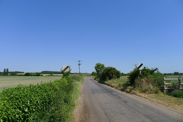
Six Acre Plantation
Wood, Forest in Lincolnshire South Kesteven
England
Six Acre Plantation

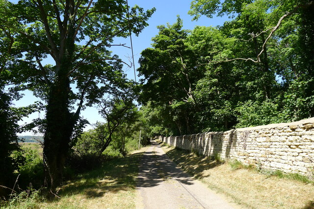
Six Acre Plantation is a charming woodland located in Lincolnshire, England. With its sprawling six-acre expanse, the plantation is a haven for nature lovers and those seeking a peaceful retreat from the hustle and bustle of daily life. The plantation is nestled amidst the picturesque countryside, offering visitors a serene and idyllic setting.
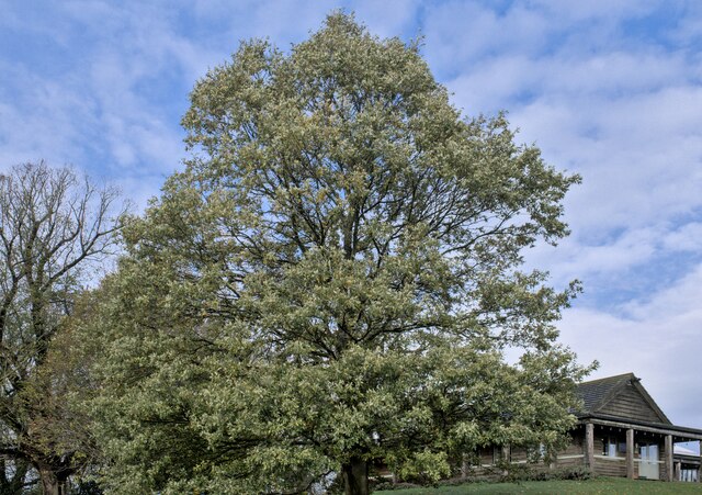
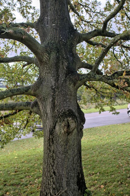
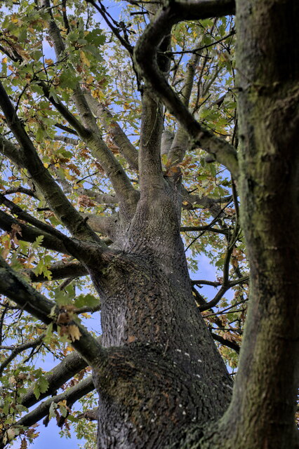
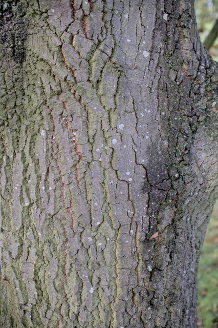
The plantation is primarily composed of various species of trees, creating a lush and verdant forest. The towering oak and beech trees provide a canopy of shade, while the vibrant undergrowth is adorned with ferns, wildflowers, and mosses. The diverse range of flora in the plantation attracts a plethora of fauna, making it a paradise for birdwatchers and wildlife enthusiasts.
Visitors to Six Acre Plantation can enjoy a leisurely stroll along the well-maintained footpaths that wind through the woods. The trails are suitable for all ages and abilities, offering a chance to explore the natural beauty of the area at a relaxed pace. Along the way, benches are strategically placed for visitors to pause and soak in the peaceful ambiance.
The plantation also offers opportunities for more adventurous activities, such as orienteering and geocaching. These activities allow visitors to engage with the environment on a deeper level, while also challenging their navigational skills.
Overall, Six Acre Plantation in Lincolnshire is a hidden gem, providing a tranquil escape for those seeking solace in nature. Whether one wishes to take a leisurely walk, observe wildlife, or simply unwind amidst the beauty of the woodland, this plantation offers a delightful experience for all.
If you have any feedback on the listing, please let us know in the comments section below.
Six Acre Plantation Images
Images are sourced within 2km of 52.961317/-0.60815753 or Grid Reference SK9341. Thanks to Geograph Open Source API. All images are credited.


Six Acre Plantation is located at Grid Ref: SK9341 (Lat: 52.961317, Lng: -0.60815753)
Administrative County: Lincolnshire
District: South Kesteven
Police Authority: Lincolnshire
What 3 Words
///starring.motivator.cubic. Near Great Gonerby, Lincolnshire
Nearby Locations
Related Wikis

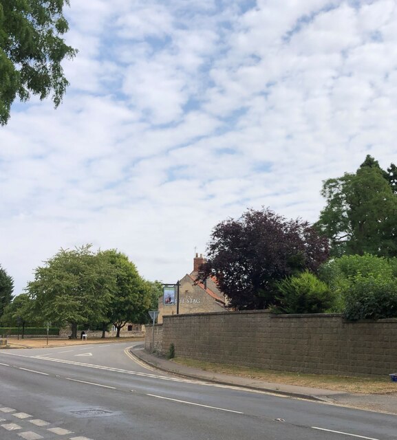
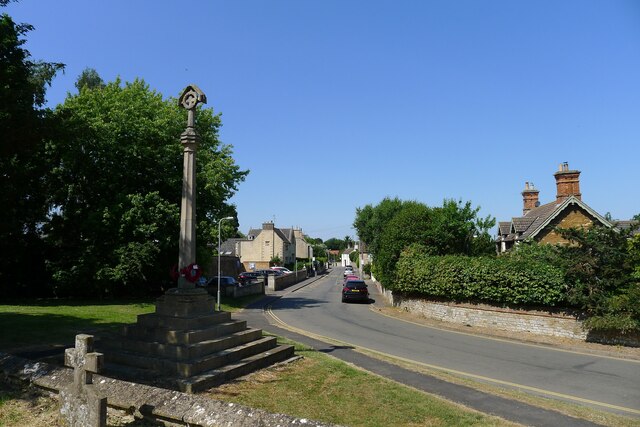
Barkston
Barkston is an English village and civil parish in the South Kesteven district of Lincolnshire. The parish population was 497 at the 2001 census and 493...

Syston, Lincolnshire
Syston is a village and civil parish in the South Kesteven district of Lincolnshire, England. The population of the civil parish was 162 at the 2011 census...

Belton, South Kesteven
Belton is a village in the civil parish of Belton and Manthorpe, in the South Kesteven district of Lincolnshire, England. It is situated on the A607 road...

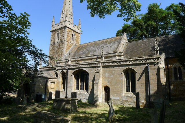
St Peter and St Paul's Church, Belton
The Church of St Peter and St Paul, Belton, South Kesteven, Lincolnshire is a functioning parish church and a Grade I listed building. Since the 17th century...

Belton House Boathouse
The Boathouse on Boathouse Pond, Belton House, Belton, Lincolnshire was designed by Anthony Salvin in 1838–1839. It is a Grade II listed building. ��2...

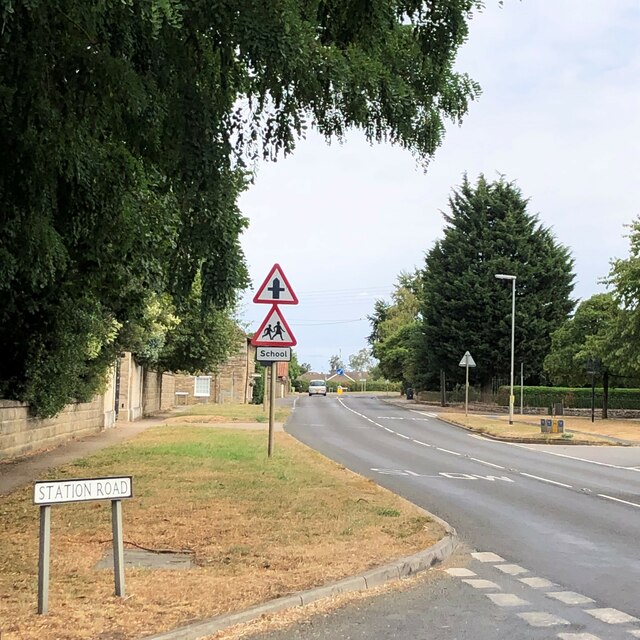
Honington, Lincolnshire
Honington is an English village and civil parish in the South Kesteven district of Lincolnshire. It lies just north of the junction between the A153 and...
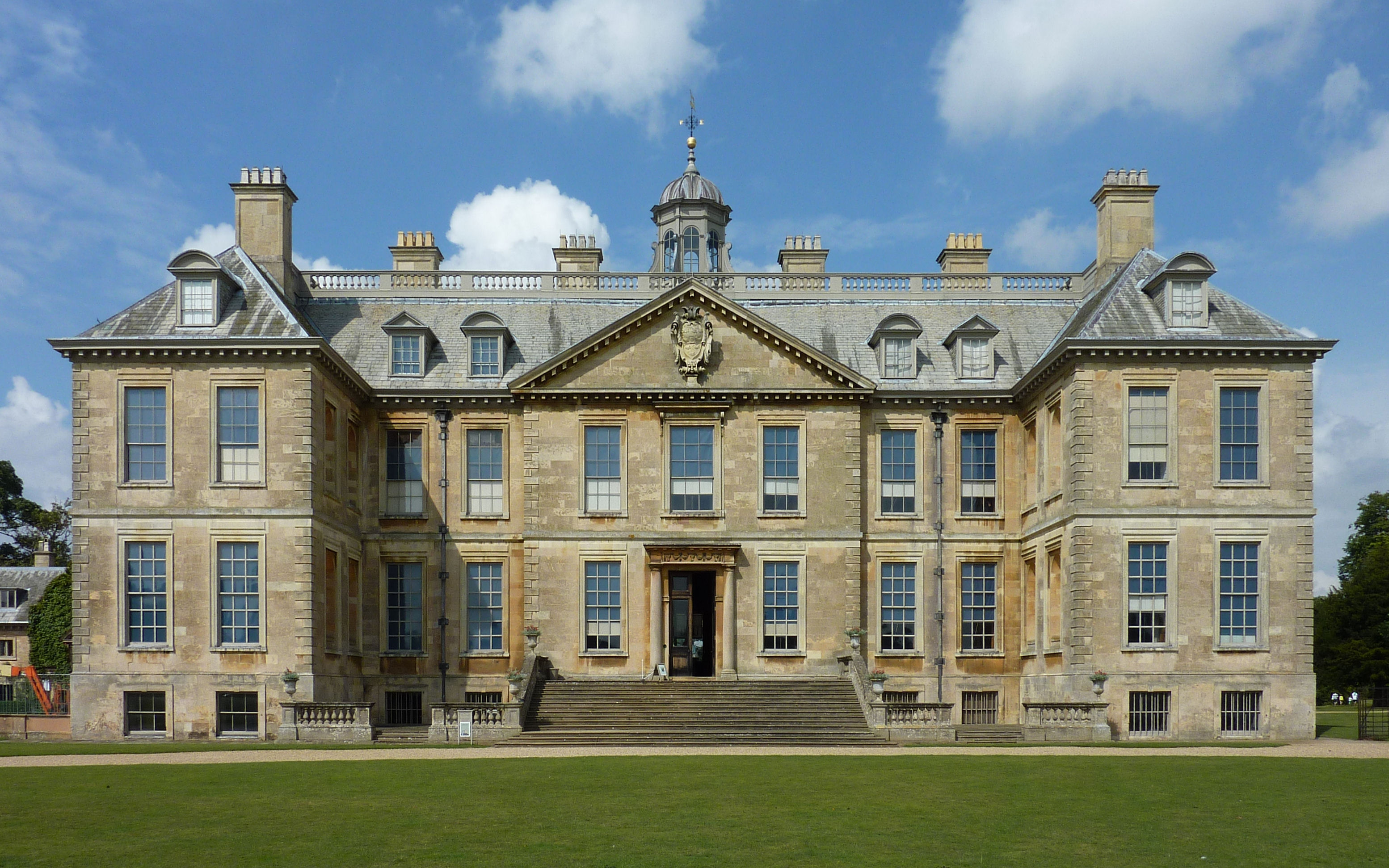
Belton House
Belton House is a Grade I listed country house in the parish of Belton near Grantham in Lincolnshire, England, built between 1685 and 1687 by Sir John...

Honington railway station
Honington railway station was a station in the village of Honington, Lincolnshire. It was located on junction with the line Grantham and Lincoln railway...
Nearby Amenities
Located within 500m of 52.961317,-0.60815753Have you been to Six Acre Plantation?
Leave your review of Six Acre Plantation below (or comments, questions and feedback).