Bury Hill
Hill, Mountain in Surrey Guildford
England
Bury Hill
Bury Hill is a prominent hill located in the county of Surrey, England. Situated within the Surrey Hills Area of Outstanding Natural Beauty, it offers breathtaking views and is a popular destination for outdoor enthusiasts. Standing at an elevation of approximately 246 meters (807 feet), it is not considered a mountain but rather a hill.
The hill is characterized by its rolling landscape, covered with lush green vegetation and dotted with trees. It is predominantly composed of sandstone, which is responsible for its distinctive reddish-brown color. Bury Hill is known for its diverse wildlife, including a variety of bird species, mammals, and insects. The surrounding area is also home to several rare plants and flowers.
One of the main attractions of Bury Hill is its extensive network of walking trails and footpaths, which allow visitors to explore its scenic beauty. The most popular route is the Bury Hill Circular Walk, which takes hikers on a loop around the hill, offering panoramic views of the surrounding countryside.
At the summit of Bury Hill, there is a trig point, which provides a reference point for surveying and mapping purposes. On clear days, visitors can enjoy stunning vistas stretching as far as the South Downs and the North Downs.
Overall, Bury Hill is a picturesque and tranquil natural landmark, offering a peaceful retreat and an opportunity to immerse oneself in the beauty of the Surrey countryside.
If you have any feedback on the listing, please let us know in the comments section below.
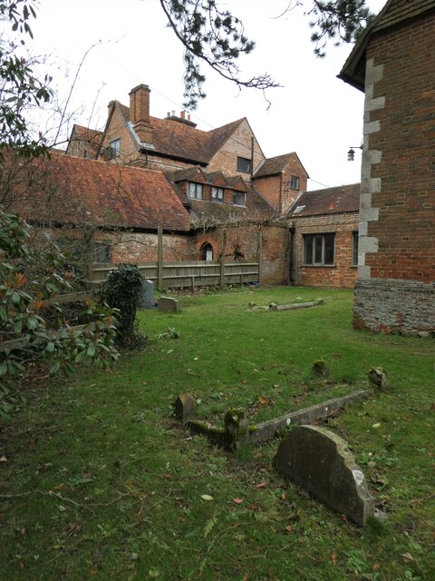
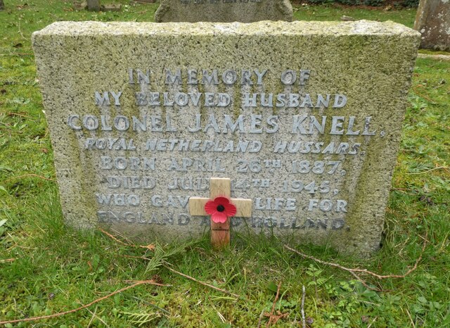
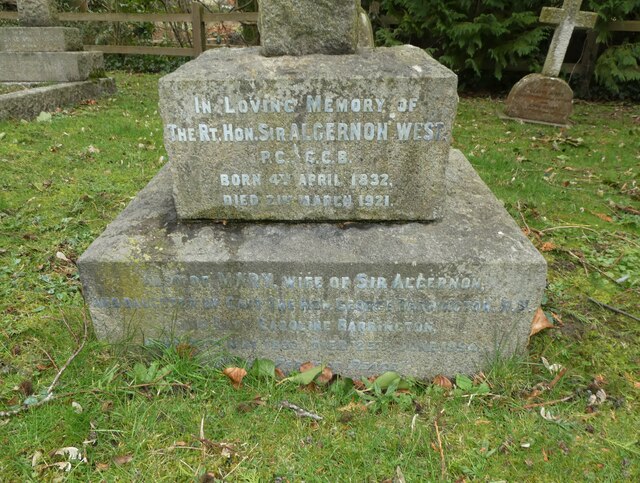
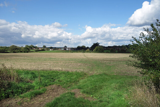
Bury Hill Images
Images are sourced within 2km of 51.222881/-0.66320052 or Grid Reference SU9347. Thanks to Geograph Open Source API. All images are credited.
Bury Hill is located at Grid Ref: SU9347 (Lat: 51.222881, Lng: -0.66320052)
Administrative County: Surrey
District: Guildford
Police Authority: Surrey
What 3 Words
///limit.chipper.florists. Near Wood Street Village, Surrey
Nearby Locations
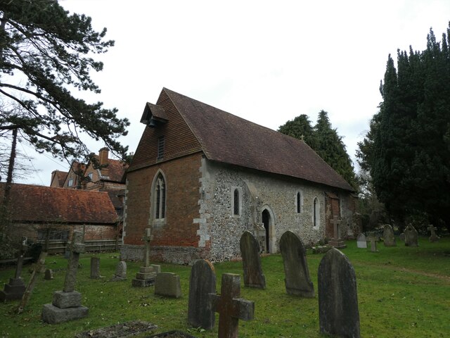
Related Wikis

Puttenham, Surrey
Puttenham is a village in Surrey, England, located just south of the Hog's Back which is the narrowest stretch of the North Downs. Puttenham is about midway...
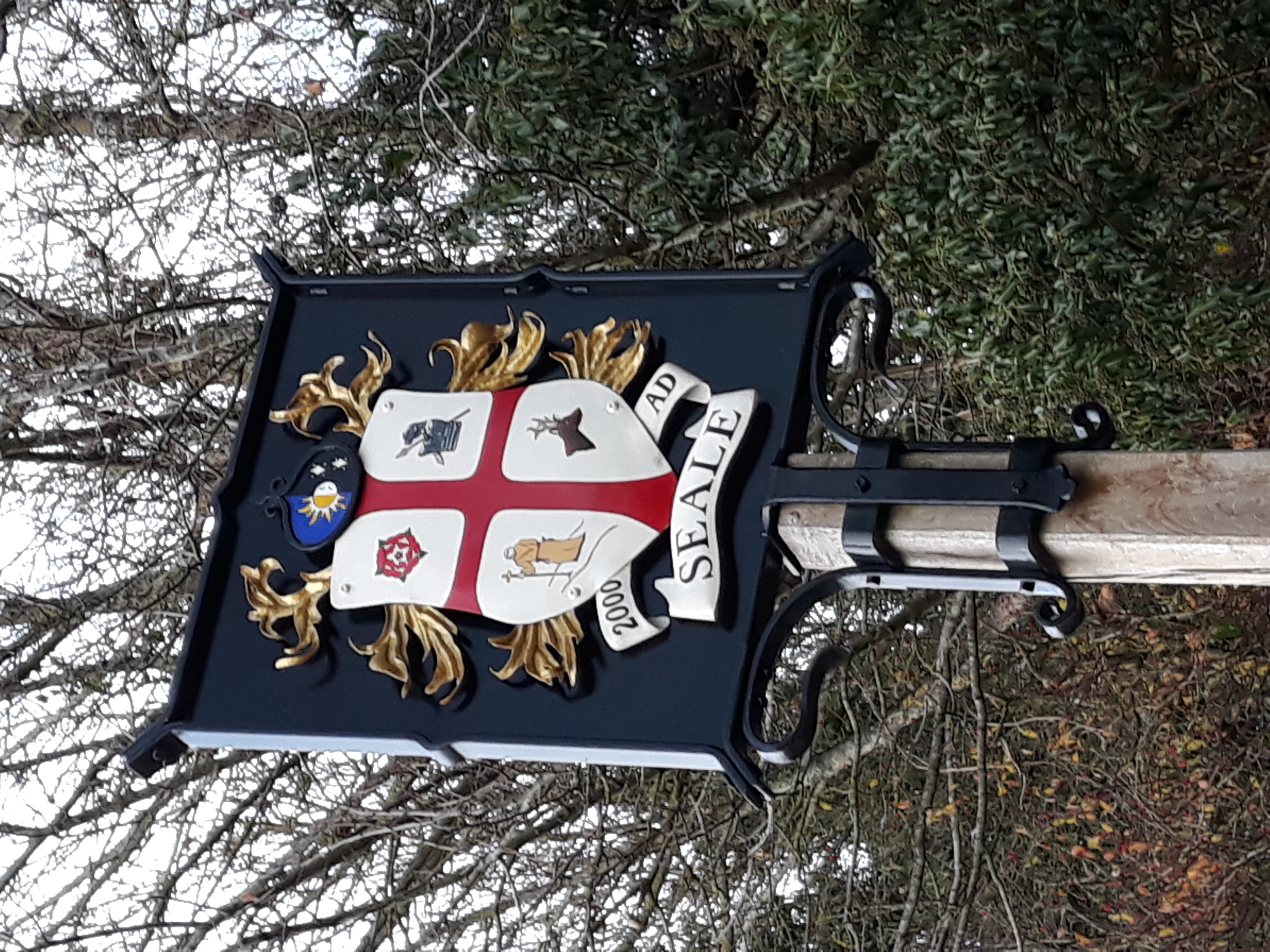
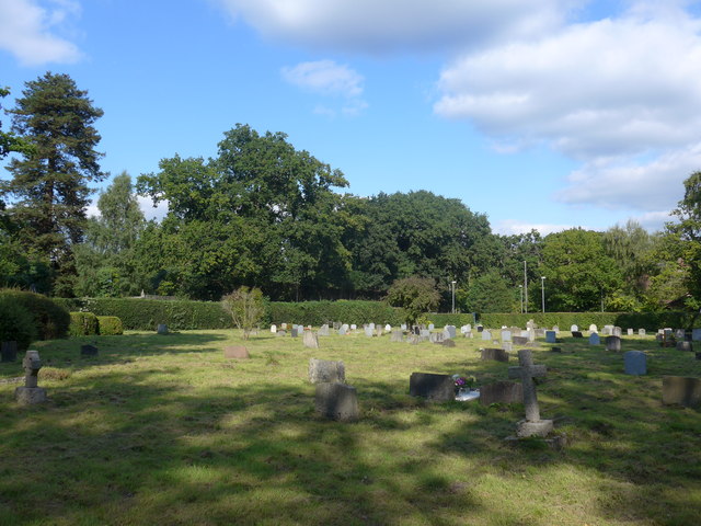
Seale, Surrey
Seale is a village in Surrey, England. Seale covers most of the civil parish of Seale and Sands and the steep slope and foot of the south side of the Hog...
Wanborough, Surrey
Wanborough () is a rural village and civil parish in Surrey approximately 4 miles (6 km) west of Guildford on the northern slopes of the Hog's Back. Wanborough...
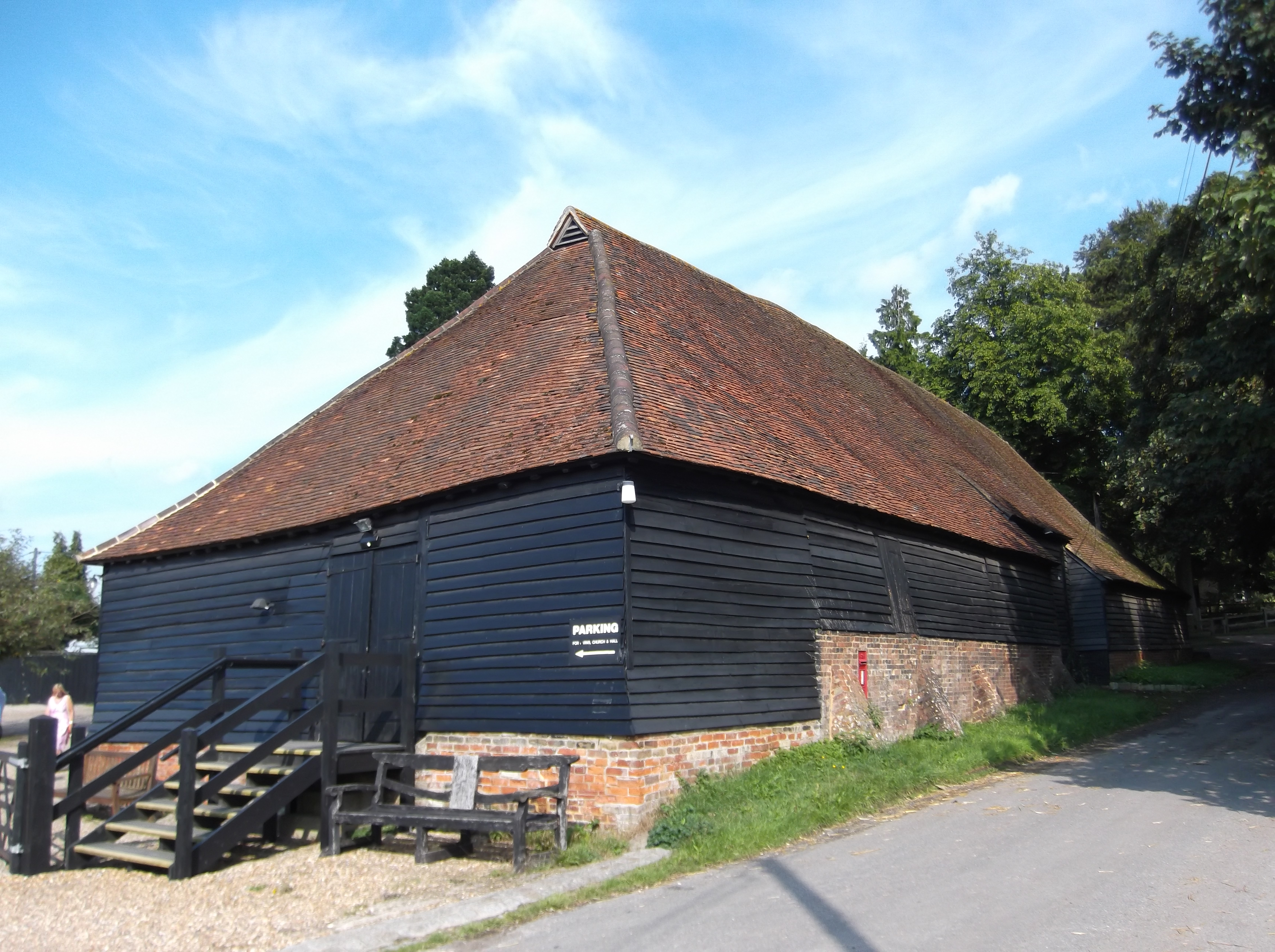
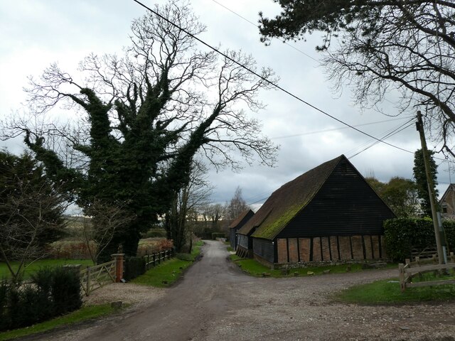
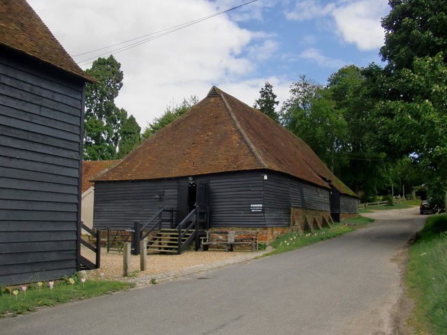
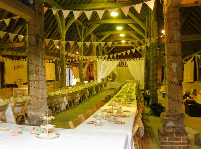
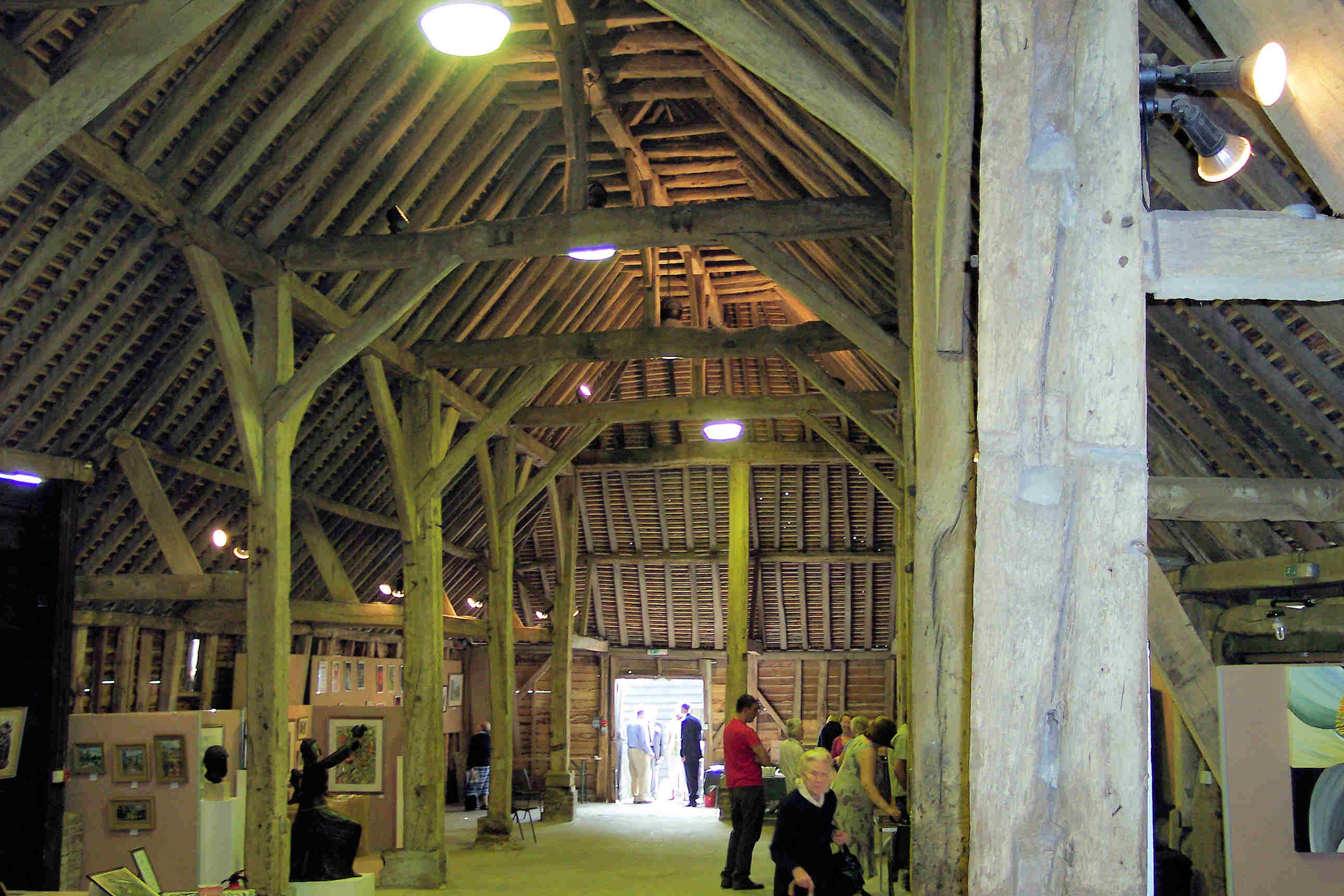
Wanborough Grange
Wanborough Grange refers to an existing late medieval barn and formerly its surrounding monastic grange in Wanborough, Surrey, England. == History == The...
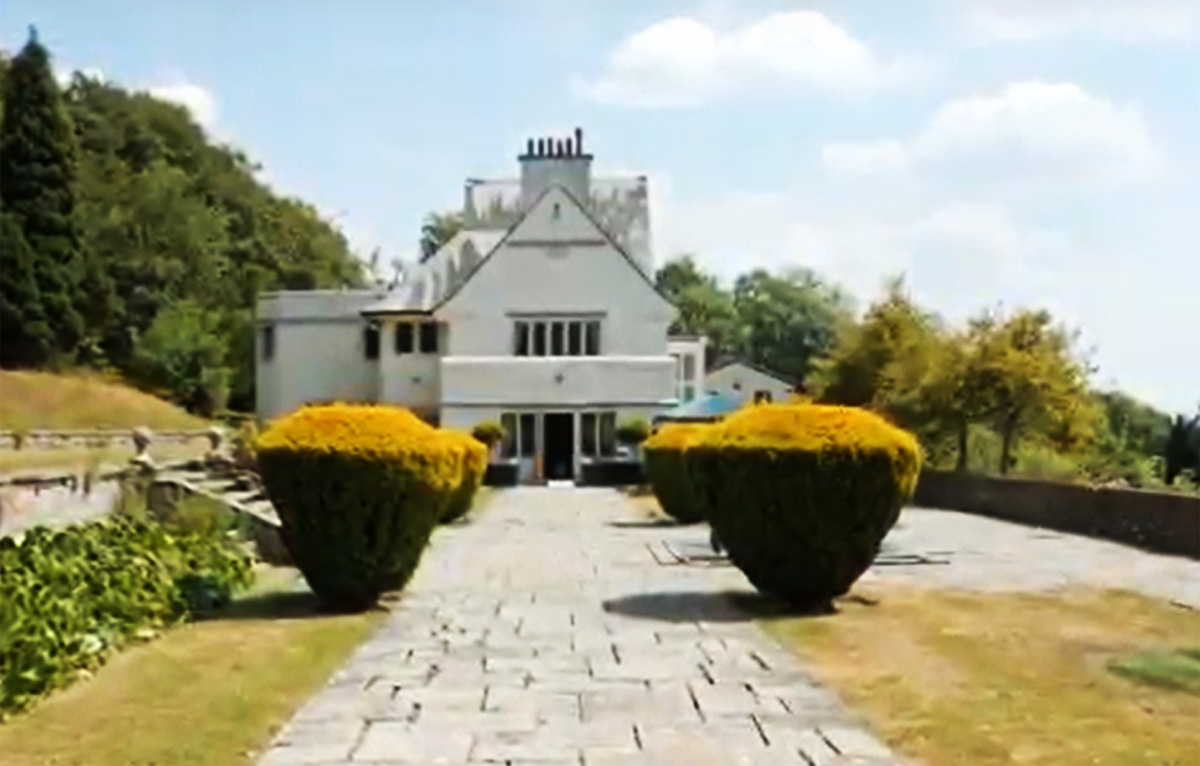
Greyfriars, Wanborough
Greyfriars is a Grade II* listed house located on the Hog's Back, in the civil parish of Wanborough, in Surrey, England. It was built in 1896 for the novelist...
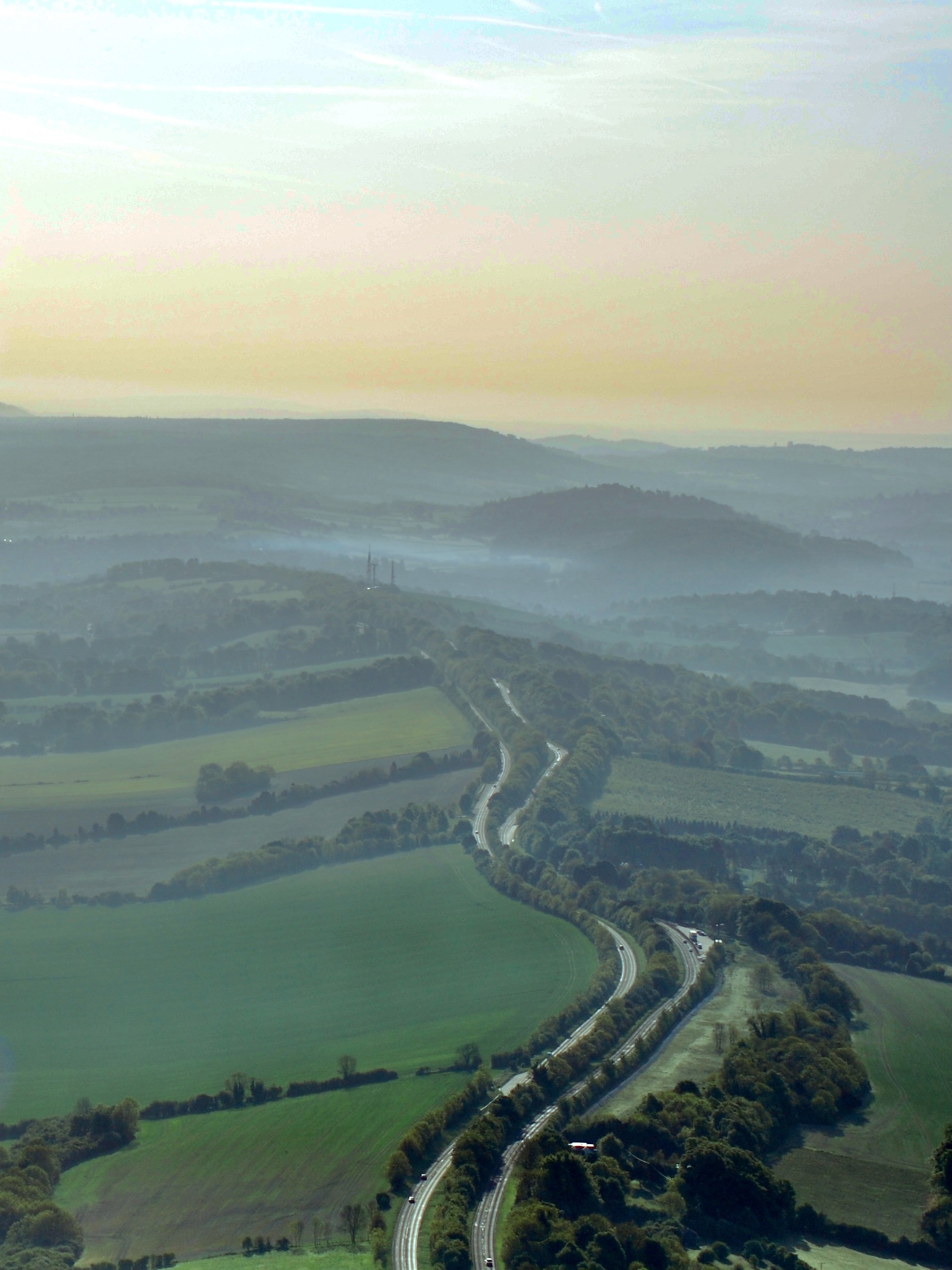
Hog's Back
The Hog's Back is a hilly ridge, part of the North Downs in Surrey, England. It runs between Farnham in the west and Guildford in the east. == Name... ==
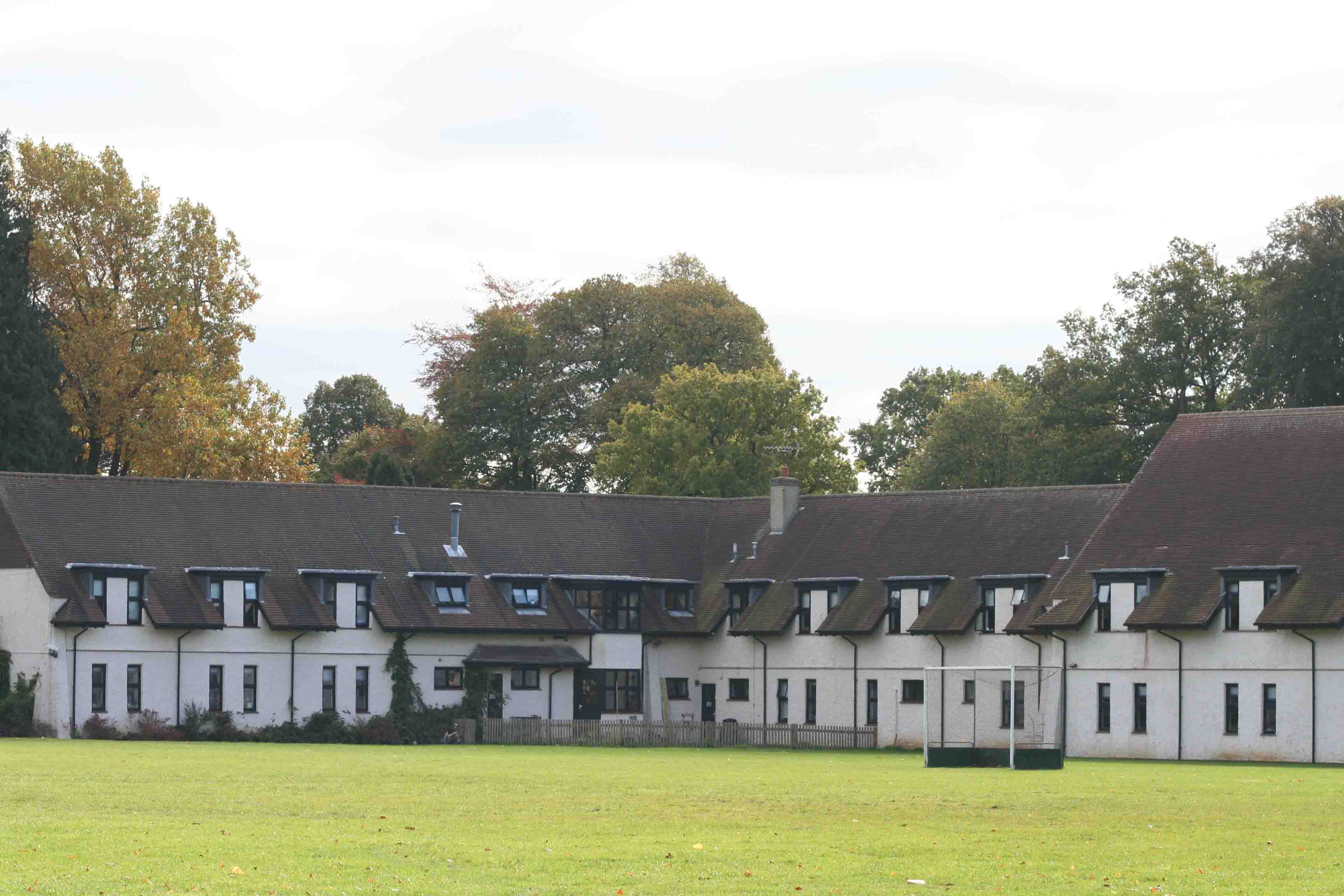
Prior's Field School
Prior's Field is an independent girls' boarding and day school in Guildford, Surrey in the south-east of England. Founded in 1902 by Julia Huxley, it stands...

Watts Cemetery Chapel
The Watts Cemetery Chapel or Watts Mortuary Chapel is a chapel in a Modern Style (British Art Nouveau style) version of Celtic Revival in the village cemetery...
Nearby Amenities
Located within 500m of 51.222881,-0.66320052Have you been to Bury Hill?
Leave your review of Bury Hill below (or comments, questions and feedback).