Hurlands
Settlement in Surrey Guildford
England
Hurlands
Hurlands is a small village located in the county of Surrey, England. Situated approximately 4 miles south of the town of Godalming, Hurlands is nestled within the picturesque Surrey Hills Area of Outstanding Natural Beauty.
The village is known for its charming rural character and tranquil atmosphere. Its idyllic setting offers stunning views of the surrounding countryside, with rolling hills, lush green fields, and meandering streams. The area is popular among nature enthusiasts, offering numerous walking and cycling trails that showcase the beauty of the Surrey Hills.
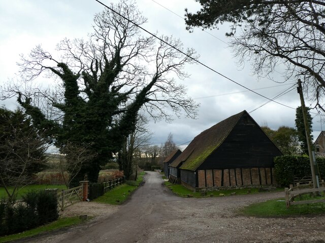
Hurlands is a close-knit community with a small population. The village is predominantly residential, with a mix of traditional cottages, modern houses, and converted barns. The architecture reflects the area's rural charm, and many properties boast large gardens and extensive grounds.
Despite its small size, Hurlands benefits from some local amenities. The village has a community hall that hosts various events and gatherings, providing a hub for social activities. Additionally, there are several nearby villages and towns where residents can find essential services, such as shops, schools, and healthcare facilities.
The location of Hurlands offers a peaceful and rural lifestyle while still being within easy reach of larger towns and cities. The village is well-connected, with good road links to Godalming and Guildford, providing access to a wider range of amenities and employment opportunities.
Overall, Hurlands offers a serene and picturesque setting, making it an ideal place for those seeking a quiet and close-knit community in the heart of the Surrey countryside.
If you have any feedback on the listing, please let us know in the comments section below.
Hurlands Images
Images are sourced within 2km of 51.218576/-0.65556431 or Grid Reference SU9347. Thanks to Geograph Open Source API. All images are credited.


Hurlands is located at Grid Ref: SU9347 (Lat: 51.218576, Lng: -0.65556431)
Administrative County: Surrey
District: Guildford
Police Authority: Surrey
What 3 Words
///anchovies.bounty.waxing. Near Wood Street Village, Surrey
Nearby Locations
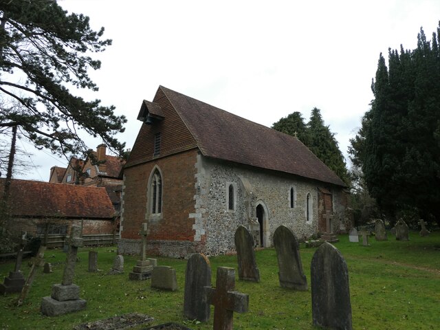
Related Wikis
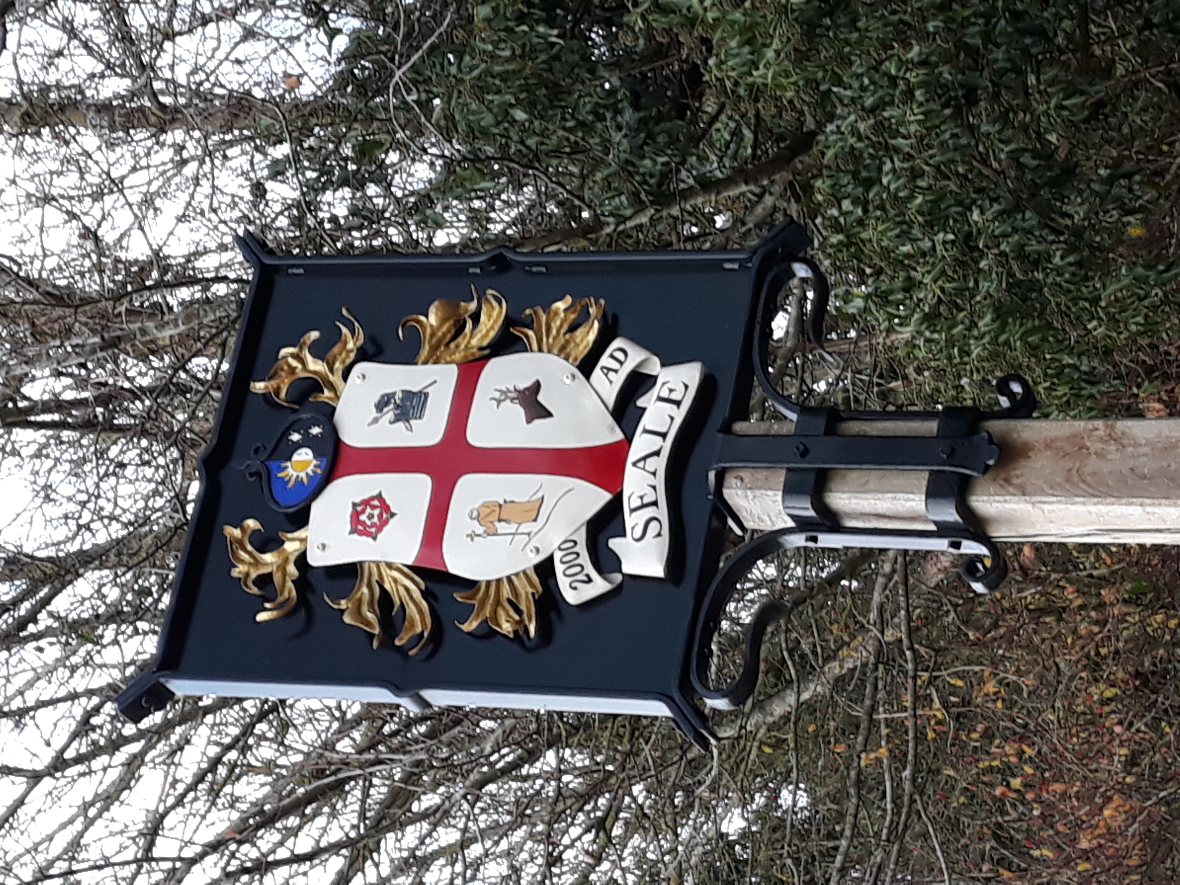
Seale, Surrey
Seale is a village in Surrey, England. Seale covers most of the civil parish of Seale and Sands and the steep slope and foot of the south side of the Hog...

Puttenham, Surrey
Puttenham is a village in Surrey, England, located just south of the Hog's Back which is the narrowest stretch of the North Downs. Puttenham is about midway...
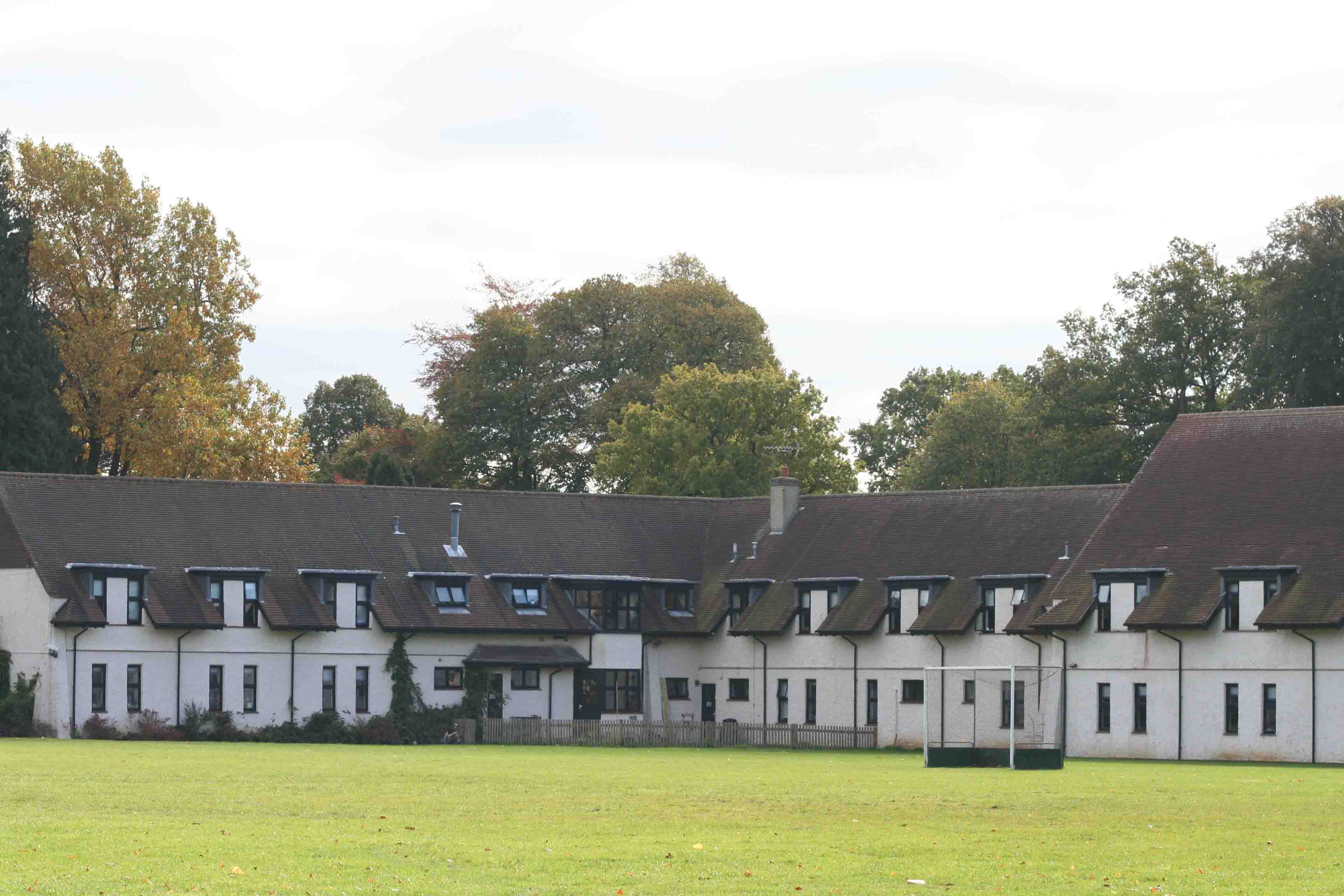
Prior's Field School
Prior's Field is an independent girls' boarding and day school in Guildford, Surrey in the south-east of England. Founded in 1902 by Julia Huxley, it stands...
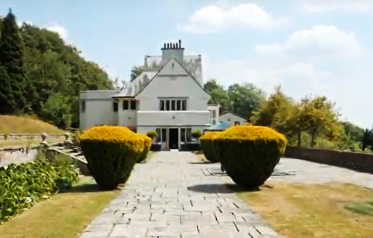
Greyfriars, Wanborough
Greyfriars is a Grade II* listed house located on the Hog's Back, in the civil parish of Wanborough, in Surrey, England. It was built in 1896 for the novelist...
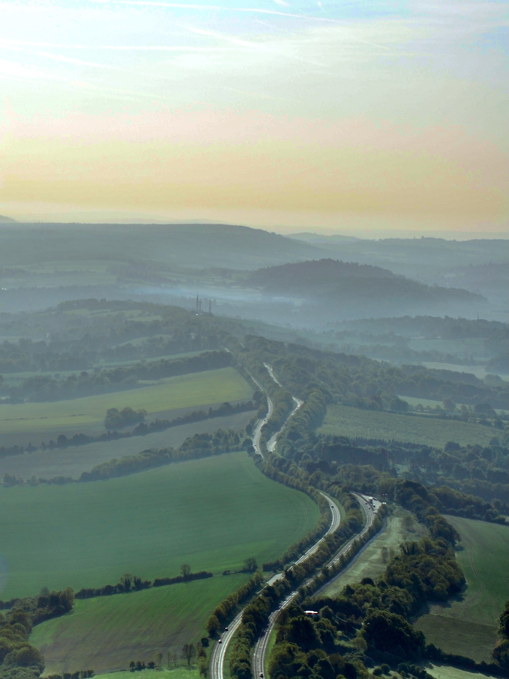
Hog's Back
The Hog's Back is a hilly ridge, part of the North Downs in Surrey, England. It runs between Farnham in the west and Guildford in the east. == Name... ==
Wanborough, Surrey
Wanborough () is a rural village and civil parish in Surrey approximately 4 miles (6 km) west of Guildford on the northern slopes of the Hog's Back. Wanborough...
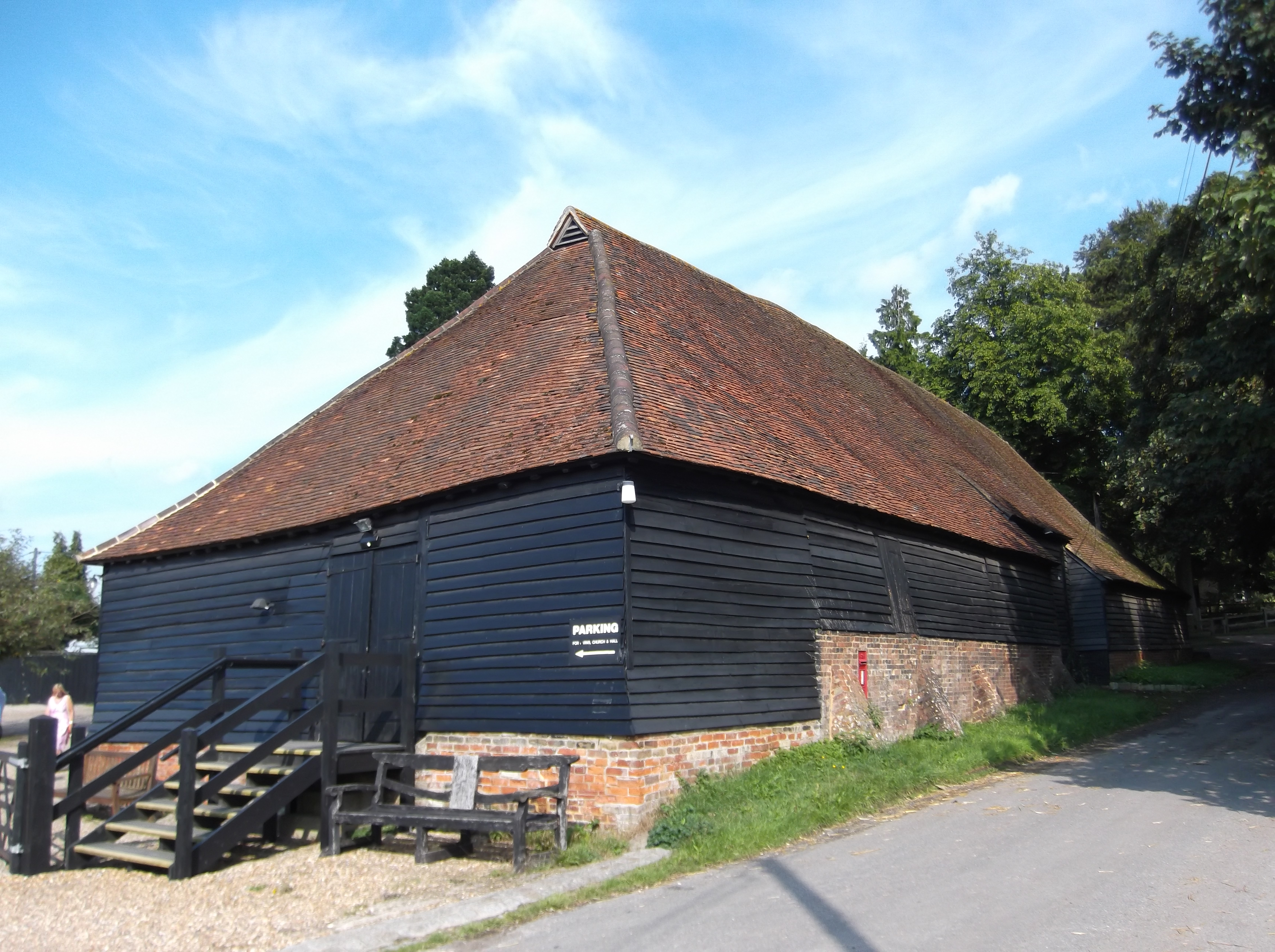
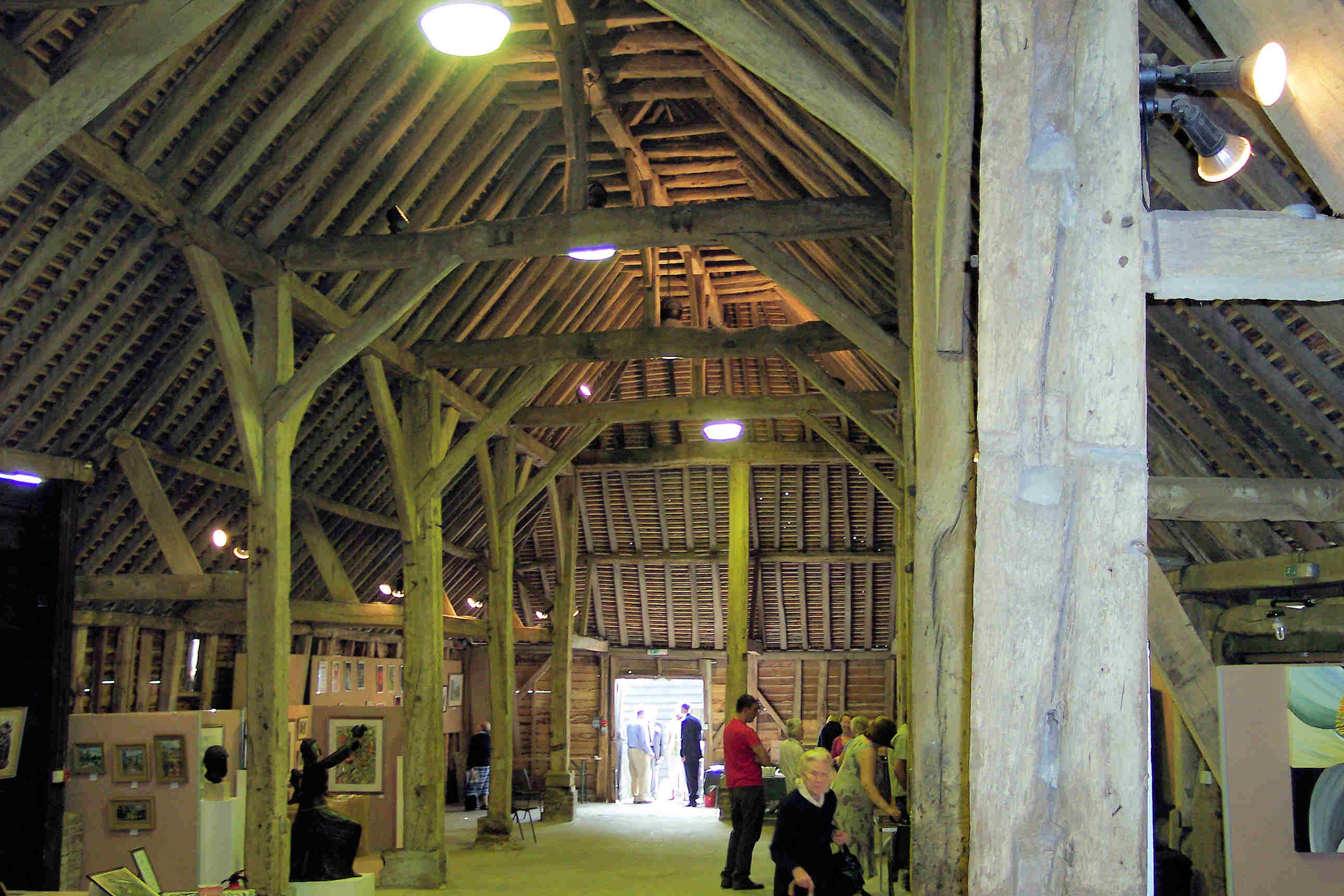
Wanborough Grange
Wanborough Grange refers to an existing late medieval barn and formerly its surrounding monastic grange in Wanborough, Surrey, England. == History == The...

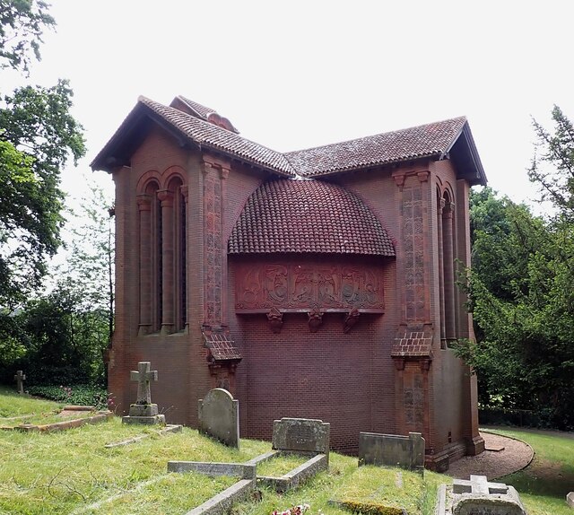
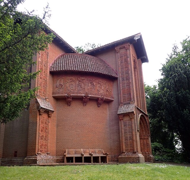
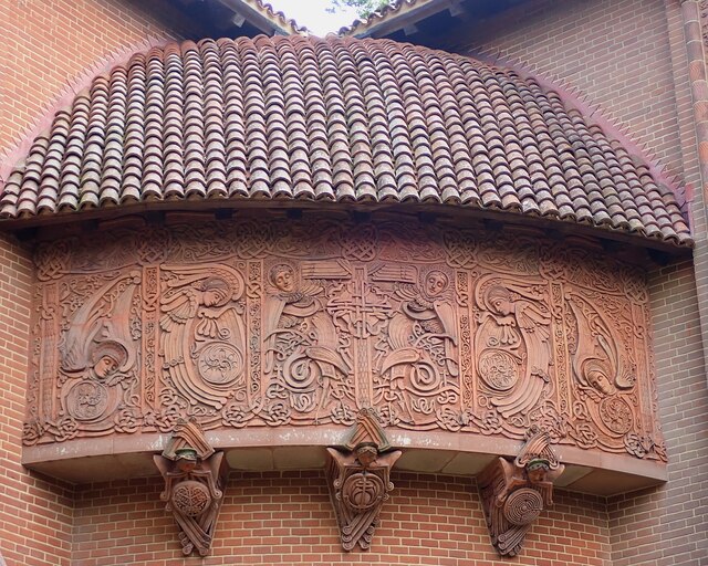
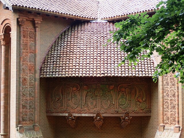
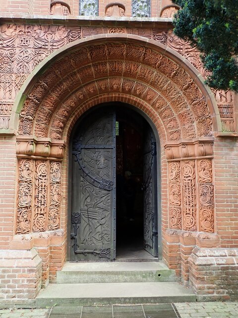
Watts Cemetery Chapel
The Watts Cemetery Chapel or Watts Mortuary Chapel is a chapel in a Modern Style (British Art Nouveau style) version of Celtic Revival in the village cemetery...
Nearby Amenities
Located within 500m of 51.218576,-0.65556431Have you been to Hurlands?
Leave your review of Hurlands below (or comments, questions and feedback).