High Standing Hill

Hill, Mountain in Berkshire

England

High Standing Hill

Windsor Forest Beside the A332.
Windsor Forest Credit: JThomas

High Standing Hill is a prominent geographical feature located in Berkshire, England. As the name suggests, it is a hill that reaches an impressive elevation, offering breathtaking views of the surrounding landscape.

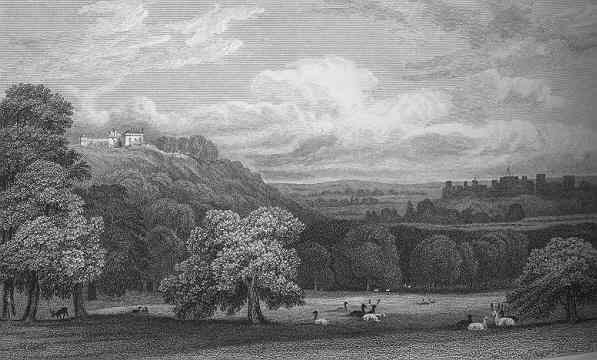
Situated in the southern part of Berkshire, High Standing Hill is part of the Berkshire Downs, a range of chalk hills that stretch across the county. The hill itself stands at an elevation of approximately 250 meters (820 feet) above sea level, making it one of the highest points in the area.

The terrain of High Standing Hill is predominantly grassy, with some scattered trees and shrubs dotting its slopes. The hill is a popular destination for hikers and nature enthusiasts, who enjoy the beauty and tranquility of the countryside.

From the summit of High Standing Hill, visitors are rewarded with panoramic views of the surrounding countryside, including vast expanses of farmland, rolling hills, and distant villages. On clear days, it is even possible to see as far as the iconic White Horse Hill in neighboring Oxfordshire.

The hill is easily accessible, with several footpaths and trails leading to its summit. These paths offer walkers a chance to explore the natural beauty of the area while enjoying a peaceful and invigorating outdoor experience.

Overall, High Standing Hill is a noteworthy landmark in Berkshire, offering a chance to connect with nature and enjoy stunning views of the countryside. Whether for a leisurely stroll or a more challenging hike, this hill provides a memorable experience for all who visit.

If you have any feedback on the listing, please let us know in the comments section below.

High Standing Hill Images

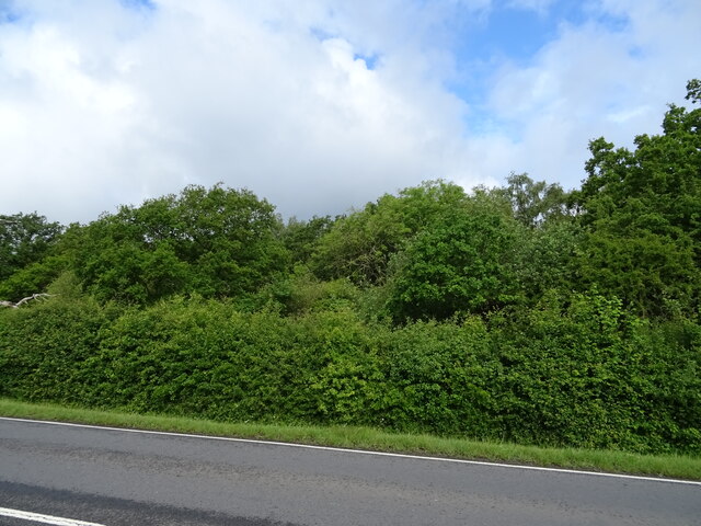
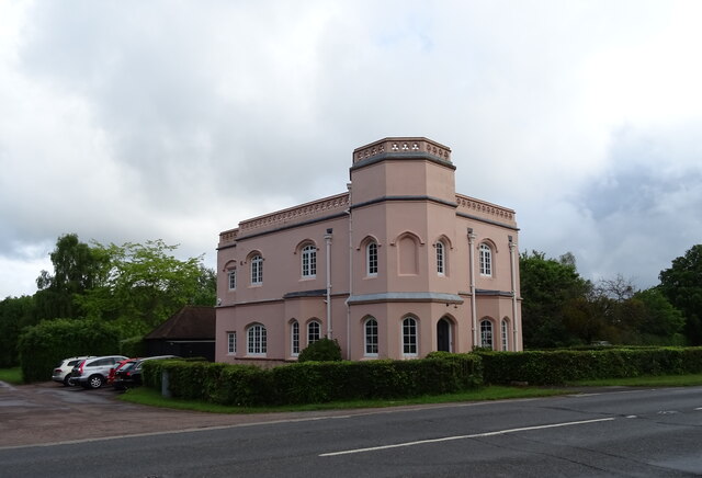
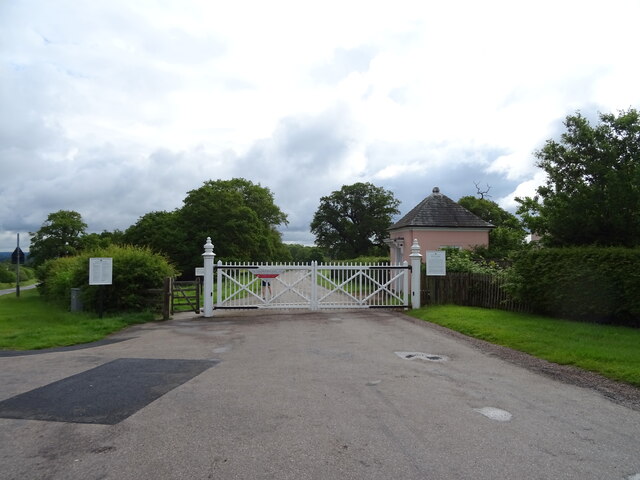
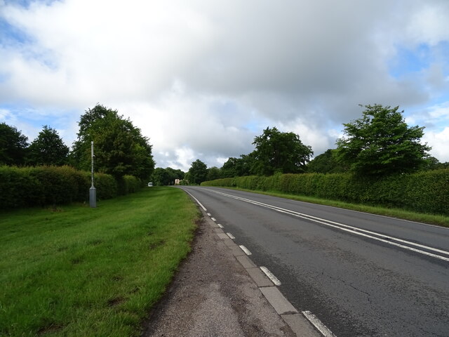
Images are sourced within 2km of 51.457944/-0.6558418 or Grid Reference SU9374. Thanks to Geograph Open Source API. All images are credited.

Windsor Forest Beside the A332.
Windsor Forest
Beside the A332.
Lodge at Forest Gate
Cranbourne Gate, Windsor Great Park
Sheet Street Road (A332) Through Windsor Great Park.
Sheet Street Road (A332)
Through Windsor Great Park.
New York in Legoland, Windsor
Legoland Express The rolling stock for the railway at the theme park was built by Severn Lamb in the 1990s.
Legoland Express
The rolling stock for the railway at the theme park was built by Severn Lamb in the 1990s.
Legoland Express on the viaduct The rolling stock for the railway at the theme park was built by Severn Lamb in the 1990s.
Legoland Express on the viaduct
The rolling stock for the railway at the theme park was built by Severn Lamb in the 1990s.
Legoland Express track The railway at the theme park runs in a bone-shaped loop, with the tracks laid very close to each other on the narrow part.
Legoland Express track
The railway at the theme park runs in a bone-shaped loop, with the tracks laid very close to each other on the narrow part.
London in miniature at Legoland, Windsor
Pirate show at Legoland, Windsor
Beehive Hill Windsor Great Park is a large deer park of 5000 acres to the South Windsor. For many centuries the park was the private hunting ground of Windsor Castle and dates primarily from the mid-13th century. Now largely open to the public (though not publicly funded), the parkland is often open as a recreation area for visitors between dawn and dusk. It is owned and managed by the Crown Estate and historically covered many times its area as Windsor Forest, Windsor Royal Park or its current name (<span class="nowrap"><a title="http://en.wikipedia.org/wiki/Windsor_Great_Park" rel="nofollow ugc noopener" href="http://en.wikipedia.org/wiki/Windsor_Great_Park">Link</a><img style="margin-left:2px;" alt="External link" title="External link - shift click to open in new window" src="https://s1.geograph.org.uk/img/external.png" width="10" height="10"/></span>  Wikipedia).
Beehive Hill
Windsor Great Park is a large deer park of 5000 acres to the South Windsor. For many centuries the park was the private hunting ground of Windsor Castle and dates primarily from the mid-13th century. Now largely open to the public (though not publicly funded), the parkland is often open as a recreation area for visitors between dawn and dusk. It is owned and managed by the Crown Estate and historically covered many times its area as Windsor Forest, Windsor Royal Park or its current name (LinkExternal link Wikipedia).
A332 The A332 is a semi-rural A-road which runs for 12½ miles between Bagshot and Slough.

It starts from the primary A322 just north of Bagshot and passes along the side of Royal Ascot Racecourse before passing through the centre of Windsor Great Park. It multiplexes with the A308 through the centre of Windsor before separating and becoming a fast dual carriageway, crossing the River Thames near Eton.

North of Windsor, the A332 branches off, with the A355 continuing ahead to meet the M4 at Junction 6. The A332 continues, passing under the M4, towards its terminus at a roundabout with the A4 at Slough.
A332
The A332 is a semi-rural A-road which runs for 12½ miles between Bagshot and Slough. It starts from the primary A322 just north of Bagshot and passes along the side of Royal Ascot Racecourse before passing through the centre of Windsor Great Park. It multiplexes with the A308 through the centre of Windsor before separating and becoming a fast dual carriageway, crossing the River Thames near Eton. North of Windsor, the A332 branches off, with the A355 continuing ahead to meet the M4 at Junction 6. The A332 continues, passing under the M4, towards its terminus at a roundabout with the A4 at Slough.
Farmland and trees
Farmland and trees
Forbe's Ride in Windsor Forest Area called Brays Paddock close to Orchard Lea which is being redeveloped from offices to 14 new build dwellings.
Forbe's Ride in Windsor Forest
Area called Brays Paddock close to Orchard Lea which is being redeveloped from offices to 14 new build dwellings.
Forbe's Ride in Windsor Forest
Cranbourne - North Street
Cranbourne Hall Caravan Site - Squirrel Lane A large mobile home site near the Squirrel Bar.
Cranbourne Hall Caravan Site - Squirrel Lane
A large mobile home site near the Squirrel Bar.
B383 Mounts Hill Approaching roundabout leading to Cranbourne village and the Winkfield Road.
B383 Mounts Hill
Approaching roundabout leading to Cranbourne village and the Winkfield Road.
Show me another place!

High Standing Hill is located at Grid Ref: SU9374 (Lat: 51.457944, Lng: -0.6558418)

Unitary Authority: Windsor and Maidenhead

Police Authority: Thames Valley

What 3 Words

///often.pills.income. Near Windsor, Berkshire

Nearby Locations

High Standing Hill

Related Wikis

Legoland Windsor Resort

Legoland Windsor Resort (), styled and also known as Legoland Windsor, is a theme park and resort in Windsor, Berkshire in England, themed around the Lego...
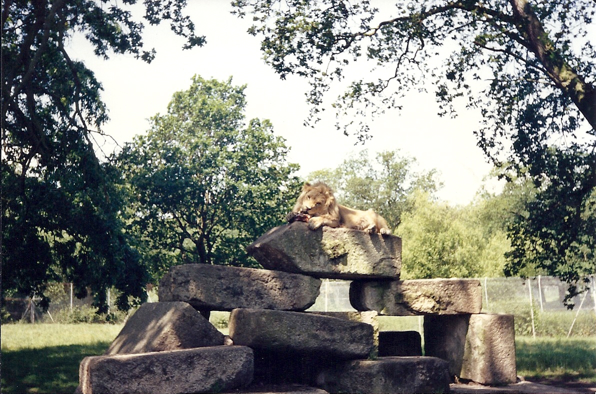
Windsor Safari Park

Windsor Safari Park was a safari park built on St Leonard's Hill on the outskirts of the town of Windsor in Berkshire, England; it has since been converted...

St Leonard's Hill

St Leonard's Hill was a large mansion near Clewer in Berkshire. == History == The house, originally known as Forest Court, was built by Thomas Sandby for...

Royal Borough of Windsor and Maidenhead

The Royal Borough of Windsor and Maidenhead is a Royal Borough of Berkshire, in South East England. While it is named after both the towns of Maidenhead...

Nearby Amenities

Located within 500m of 51.457944,-0.6558418
Bus Stop
High Standing Hill
Alt Name: Cranbourne Chase
Bench: no
Bin: no
Flag: yes
Naptan AltCommonName: Cranbourne Chase
Naptan AltStreet: Not Specified
Naptan AtcoCode: 036006858858
Naptan Bearing: SW
Naptan CommonName: High Standing Hill
Naptan Indicator: SW-bound
Naptan Landmark: Crown Estate Access Road
Naptan NaptanCode: wingagm
Naptan Street: Winkfield Road
Naptan Verified: no
Public Transport: platform
Shelter: no
Source: naptan_import
Tactile Paving: no
Lat/Long: 51.4556855/-0.6544688
Bus Stop
High Standing Hill
Alt Name: Cranbourne Chase
Bench: no
Bin: no
Flag: yes
Naptan AltCommonName: Cranbourne Chase
Naptan AltStreet: Not Specified
Naptan AtcoCode: 036006858859
Naptan Bearing: NE
Naptan CommonName: High Standing Hill
Naptan Indicator: NE-bound
Naptan Landmark: Crown Estate Access Road
Naptan NaptanCode: wingagp
Naptan Street: Winkfield Road
Naptan Verified: no
Public Transport: platform
Shelter: no
Source: naptan_import
Tactile Paving: no
Lat/Long: 51.4560782/-0.6541697
High Standinghill Woods
Place: locality
Lat/Long: 51.4583689/-0.6595309
High Standing Hill
Place: locality
Lat/Long: 51.4567285/-0.6560461
High Standing Hill
Natural: peak
Lat/Long: 51.4572038/-0.6562582
The data included in this document is from www.openstreetmap.org. The data is made available under ODbL.

Have you been to High Standing Hill?

Leave your review of High Standing Hill below (or comments, questions and feedback).