Rodborough Hill
Hill, Mountain in Surrey Waverley
England
Rodborough Hill
Rodborough Hill is a prominent hill located in the county of Surrey, England. It is part of the North Downs range and reaches an elevation of approximately 248 meters (814 feet) above sea level. The hill is situated near the town of Godalming and offers stunning panoramic views of the surrounding countryside.
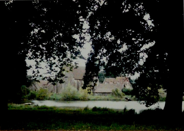
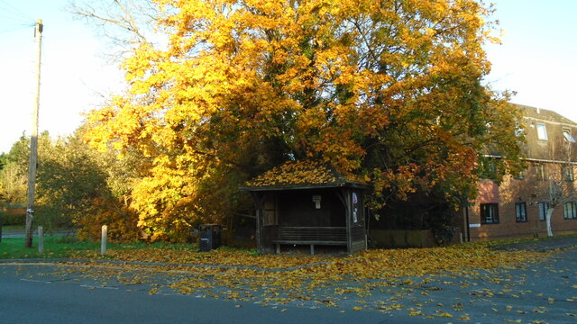
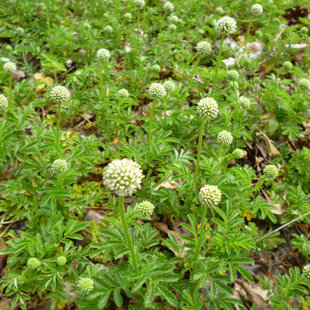
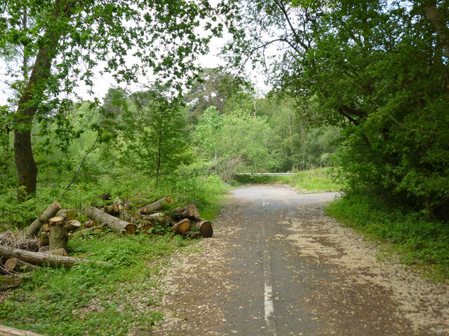
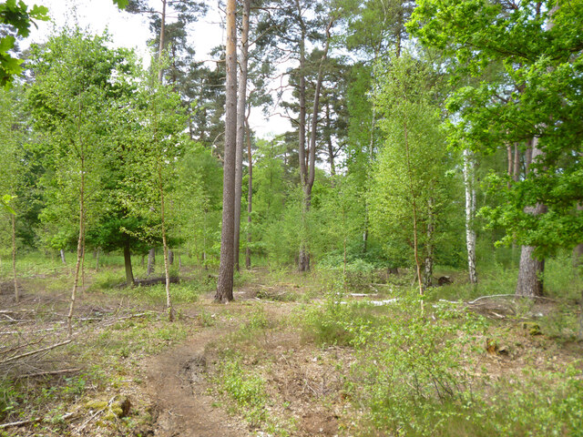
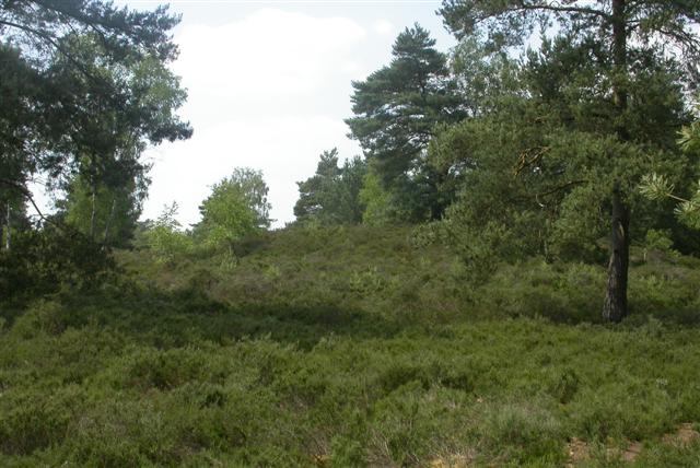
Covered in lush greenery, Rodborough Hill is known for its picturesque landscapes and scenic beauty. It is a popular destination for hikers, nature enthusiasts, and photographers, attracting visitors from both near and far. The hill is home to a variety of wildlife, including numerous species of birds, butterflies, and small mammals.
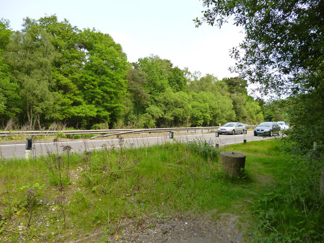
The terrain of Rodborough Hill is characterized by its rolling slopes, which provide a moderate challenge for outdoor enthusiasts. Several walking trails crisscross the hill, offering opportunities for leisurely strolls or more vigorous hikes. The pathways are well-maintained and offer breathtaking vistas of the Surrey countryside, with its patchwork fields, dense woodlands, and charming villages.
Rodborough Hill also boasts historical significance, with traces of ancient settlements and historical landmarks dotting its landscape. The hill has been inhabited for centuries, and remnants of Iron Age hillforts can still be found on its summit. These archaeological sites provide a glimpse into the region's rich history and offer an intriguing destination for history buffs.
Overall, Rodborough Hill is a natural gem within the Surrey countryside, offering both natural beauty and historical intrigue. Its captivating views and tranquil surroundings make it a perfect spot for outdoor activities, exploration, and relaxation.
If you have any feedback on the listing, please let us know in the comments section below.
Rodborough Hill Images
Images are sourced within 2km of 51.164578/-0.66515818 or Grid Reference SU9341. Thanks to Geograph Open Source API. All images are credited.


Rodborough Hill is located at Grid Ref: SU9341 (Lat: 51.164578, Lng: -0.66515818)
Administrative County: Surrey
District: Waverley
Police Authority: Surrey
What 3 Words
///gossip.cheat.marzipan. Near Milford, Surrey
Nearby Locations
Related Wikis

Rodborough Common, Surrey
Rodborough Common is a 62.2-hectare (154-acre) Local Nature Reserve west of Milford in Surrey. It is owned by Surrey County Council and managed by Surrey...

Elstead Group of Commons
Elstead Group of Commons is a 180-hectare (440-acre) nature reserve east of Elstead in Surrey. It is composed of Royal, Elstead and Ockley Commons, which...

Rodborough School
Rodborough School is a coeducational secondary school with academy status, located in Milford, Surrey, England. The school is a feeder school for Godalming...
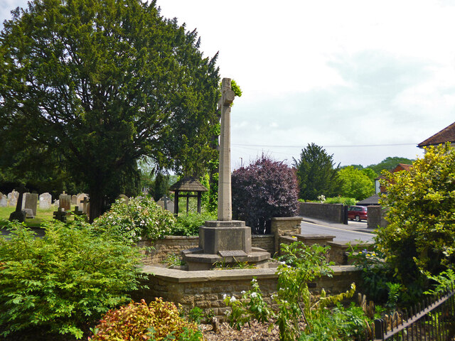
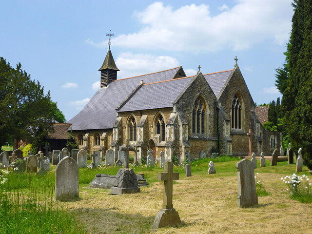
Milford, Surrey
Milford is a village in the civil parish of Witley south west of Godalming in Surrey, England that was a small village in the early medieval period — it...

Witley Camp
Witley Military Camp, often simplified to Camp Witley, was a temporary army camp set up on Witley Common, Surrey, England during both the First and Second...
Witley Common
Witley Common is an area of woodland and heath, close to Witley, Surrey, in the United Kingdom. It is part of a much larger Site of Special Scientific...

Oxenford Farm
Oxenford Farm is a former abbey farm, a dependency of Waverley Abbey in the civil parish of Witley, Surrey, England, with several listed buildings around...

Ockford Ridge
Ockford Ridge is the part of the parish and town of Godalming, Surrey, England west of the London-Portsmouth railway. It has a narrow buffer to the west...
Nearby Amenities
Located within 500m of 51.164578,-0.66515818Have you been to Rodborough Hill?
Leave your review of Rodborough Hill below (or comments, questions and feedback).