Rutton Hill
Hill, Mountain in Surrey Waverley
England
Rutton Hill
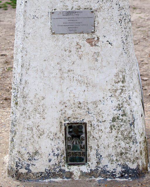
Rutton Hill is a prominent geographic feature located in the county of Surrey, England. As a hill, Rutton Hill is a part of the North Downs, which is a ridge of chalk hills stretching across parts of Surrey, Kent, and Sussex. It stands at an elevation of approximately 150 meters (492 feet) above sea level, making it a relatively modest hill in comparison to the surrounding peaks.
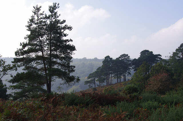
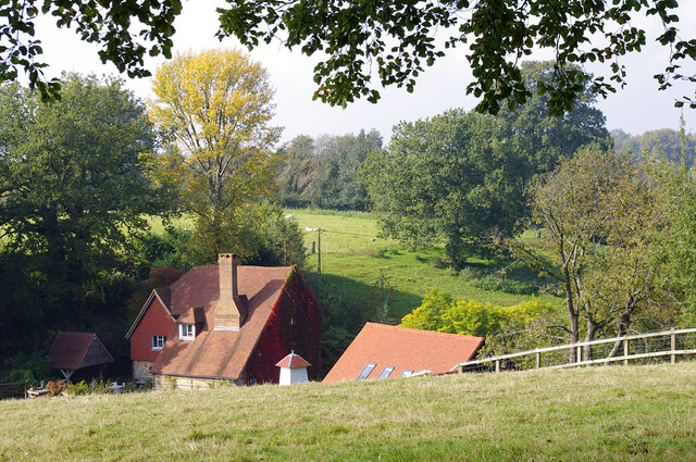
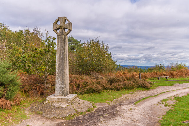
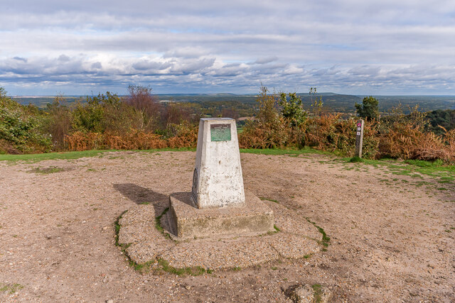
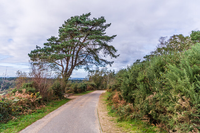
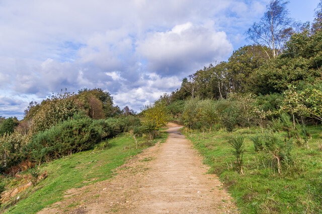
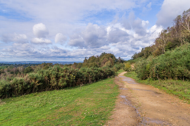
Situated in the southeastern part of Surrey, Rutton Hill offers picturesque views of the surrounding countryside. Its location within the North Downs Area of Outstanding Natural Beauty (AONB) further enhances its scenic appeal. The hill is covered in lush green vegetation, including grasses, shrubs, and some scattered trees, creating a tranquil and serene atmosphere.
Rutton Hill is a popular destination for outdoor enthusiasts and nature lovers. It provides ample opportunities for hiking, walking, or simply enjoying a leisurely stroll in the countryside. The hill's gentle slopes make it accessible to a wide range of abilities, attracting both seasoned hikers and casual walkers alike.
The summit of Rutton Hill offers panoramic views of the surrounding landscape, including the nearby towns and villages nestled in the valleys. On clear days, it is possible to see as far as the South Downs and the English Channel.
Overall, Rutton Hill in Surrey offers a delightful natural escape for visitors and residents alike, with its stunning vistas, diverse flora, and tranquil ambiance.
If you have any feedback on the listing, please let us know in the comments section below.
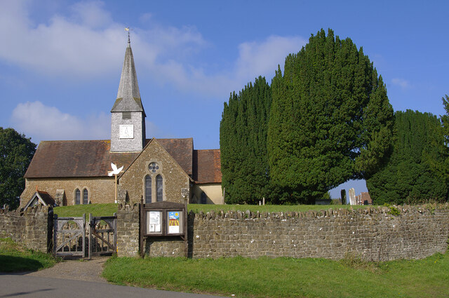
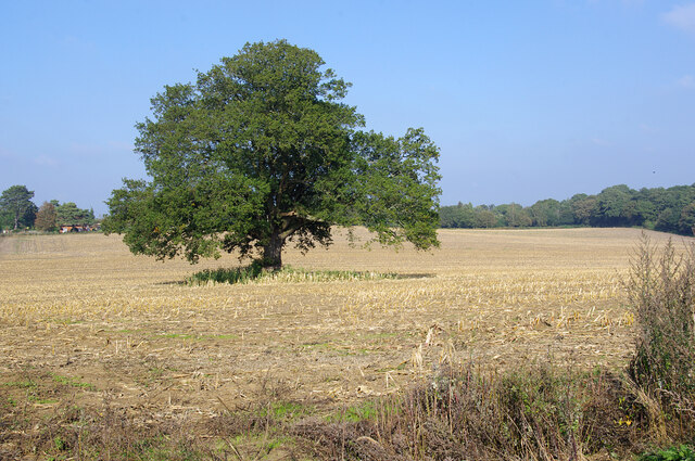
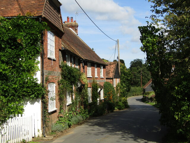
Rutton Hill Images
Images are sourced within 2km of 51.130807/-0.70150412 or Grid Reference SU9037. Thanks to Geograph Open Source API. All images are credited.


Rutton Hill is located at Grid Ref: SU9037 (Lat: 51.130807, Lng: -0.70150412)
Administrative County: Surrey
District: Waverley
Police Authority: Surrey
What 3 Words
///placed.twitches.brightly. Near Hindhead, Surrey
Nearby Locations
Related Wikis

Gibbet Hill, Hindhead
Gibbet Hill, at Hindhead, Surrey, is the apex of the scarp surrounding the Devil's Punch Bowl, not far from the A3 London to Portsmouth road in England...

Thursley
Thursley is a village and civil parish in southwest Surrey, west of the A3 between Milford and Hindhead. An associated hamlet is Bowlhead Green. To the...

Brook Brick Pit
Brook Brick Pit is a 0.9-hectare (2.2-acre) geological Site of Special Scientific Interest west of Wormley Surrey. It is a Geological Conservation Review...

Brook, Surrey
Brook is a hamlet in the civil parish of Witley in the Waverley district in south-west Surrey. It is in the far west of Wormley, beyond Sandhills with...

South West Surrey (UK Parliament constituency)
South West Surrey is a constituency represented in the House of Commons of the UK Parliament. Since 2005, the seat has been represented by Conservative...
Witley Park
Witley Park, formerly known as Lea Park, is an estate dating from the 19th-century between Godalming and Haslemere, Surrey, England. Its landscaped grounds...

Devil's Punch Bowl
The Devil's Punch Bowl is a 282.2-hectare (697-acre) visitor attraction and biological Site of Special Scientific Interest situated just to the east of...
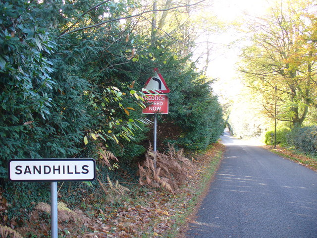
Sandhills, Surrey
Sandhills is a small hamlet located between the villages of Wormley and Brook in Surrey, UK. It is part of the Surrey Hills Area of Outstanding Beauty...
Nearby Amenities
Located within 500m of 51.130807,-0.70150412Have you been to Rutton Hill?
Leave your review of Rutton Hill below (or comments, questions and feedback).