Bridge Hill
Hill, Mountain in Surrey Guildford
England
Bridge Hill

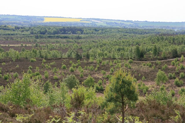
Bridge Hill is a prominent hill located in the county of Surrey, England. Situated within the North Downs, it forms part of the picturesque landscape of this region. Rising to an elevation of approximately 120 meters (394 feet), Bridge Hill offers breathtaking views of the surrounding countryside and nearby towns.
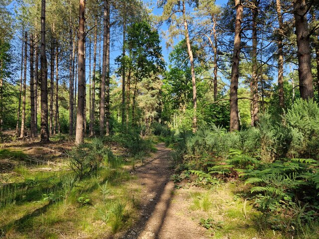
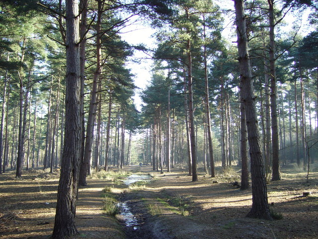
The hill is characterized by its steep slopes and dense woodland, which contribute to its natural beauty and provide a habitat for various flora and fauna. It is particularly renowned for its vibrant display of bluebells during the spring months, attracting nature enthusiasts and photographers alike.
Bridge Hill is a popular destination for outdoor activities such as hiking, walking, and mountain biking. Several well-marked trails crisscross the hill, allowing visitors to explore its diverse terrain and take in the stunning vistas. The hill's accessibility and close proximity to nearby towns and villages make it a convenient choice for both locals and tourists seeking a peaceful retreat from urban life.
In addition to its natural attractions, Bridge Hill is also home to a number of historical landmarks. The ancient St. Martha's Church, dating back to the 12th century, is nestled at the foot of the hill and provides a glimpse into the area's rich heritage.
Overall, Bridge Hill in Surrey offers a remarkable blend of natural beauty, recreational opportunities, and cultural significance. Whether it is for a leisurely stroll, a challenging hike, or simply to admire the scenic surroundings, this hill is a must-visit destination for those seeking an escape to the tranquil countryside of Surrey.
If you have any feedback on the listing, please let us know in the comments section below.
Bridge Hill Images
Images are sourced within 2km of 51.282592/-0.69689933 or Grid Reference SU9054. Thanks to Geograph Open Source API. All images are credited.


Bridge Hill is located at Grid Ref: SU9054 (Lat: 51.282592, Lng: -0.69689933)
Administrative County: Surrey
District: Guildford
Police Authority: Surrey
What 3 Words
///surnames.streaks.shippers. Near Normandy, Surrey
Nearby Locations
Related Wikis
Ash to Brookwood Heaths
Ash to Brookwood Heaths is a 1,576.3-hectare (3,895-acre) biological Site of Special Scientific Interest west of Guildford in Surrey. It is a Nature Conservation...

Museum of Military Medicine
The Museum of Military Medicine, formerly the Army Medical Services Museum (AMS Museum), is located in Keogh Barracks, on Mytchett Place Road, Mytchett...
Keogh Barracks
Keogh Barracks is a British Army installation on Mytchett Place Road, Mytchett, Surrey, England. == History == The barracks were commissioned to accommodate...

Ash Vale railway station
Ash Vale is a railway station serving the village of Ash Vale in Surrey, England. It is situated at the junction of the London to Alton line and the Ascot...

Frimley Green Windmill
Frimley Green Windmill is a Grade II listed tower mill at Frimley Green, Surrey, England, which has been converted to residential use. == History == Frimley...

Ash Vale
Ash Vale is a village in the borough of Guildford in Surrey, England and the larger, northern settlement of the civil parish of Ash. It is 7 miles (11...
Stag Radio
Stag Radio is the radio station run by the students of the University of Surrey in Guildford, Surrey, England, which broadcasts on 1350AM during term...

Snaky Lane Community Wildlife Area
Snaky Lane Community Wildlife Area is a 2.7-hectare (6.7-acre) Local Nature Reserve Surrey. It is owned by Guildford Borough Council and managed by the...
Nearby Amenities
Located within 500m of 51.282592,-0.69689933Have you been to Bridge Hill?
Leave your review of Bridge Hill below (or comments, questions and feedback).