Windy Gap Hill
Hill, Mountain in Hampshire Rushmoor
England
Windy Gap Hill
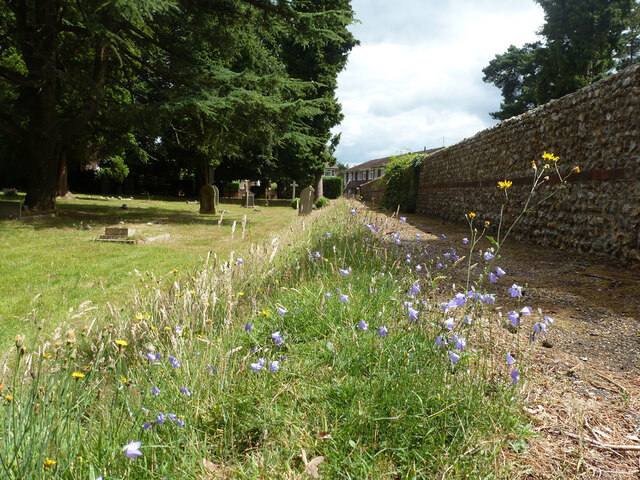
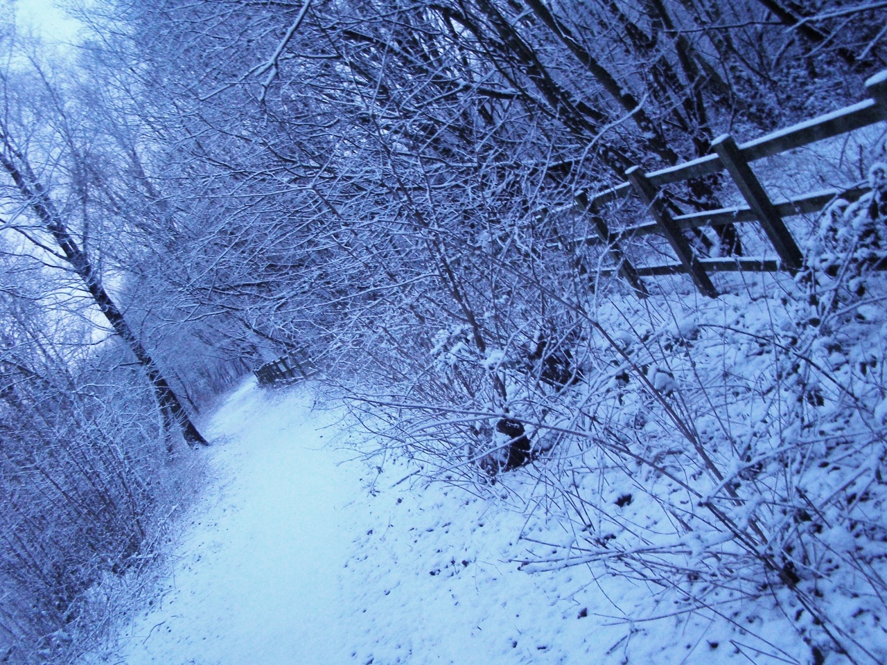
Windy Gap Hill, located in Hampshire, England, is a prominent hill in the South Downs National Park. Standing at an elevation of approximately 200 meters, it offers breathtaking panoramic views of the surrounding countryside. The hill is part of the Hampshire Downs, which stretches across the county, and is a popular destination for hikers and nature enthusiasts.
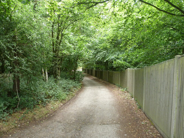
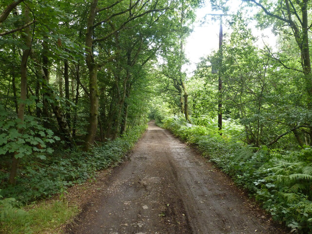
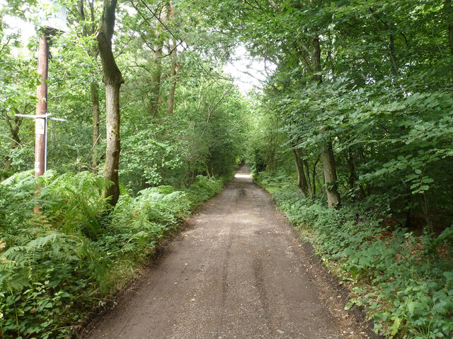
Windy Gap Hill gets its name from the strong winds that often sweep across its exposed summit. These winds, coupled with its steep slopes, make it a challenging yet rewarding hike for experienced walkers. The hill is characterized by its undulating terrain, covered in lush green grass and scattered with patches of woodland.
Wildlife thrives in the diverse habitats found on Windy Gap Hill. The area is home to an array of bird species, including skylarks, meadow pipits, and kestrels. Small mammals such as rabbits and foxes can also be spotted among the gorse bushes and heather that dot the landscape.
The hill offers several walking trails, varying in difficulty and length, catering to both casual strollers and more adventurous explorers. Many visitors choose to ascend Windy Gap Hill to take advantage of the stunning views it offers, particularly at sunrise or sunset. The hill's strategic location also provides an opportunity for aircraft enthusiasts to witness low-flying military aircraft from nearby airbases.
Overall, Windy Gap Hill is a natural gem in Hampshire, offering a combination of scenic beauty, wildlife diversity, and outdoor recreational opportunities for all who venture to its summit.
If you have any feedback on the listing, please let us know in the comments section below.
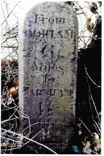
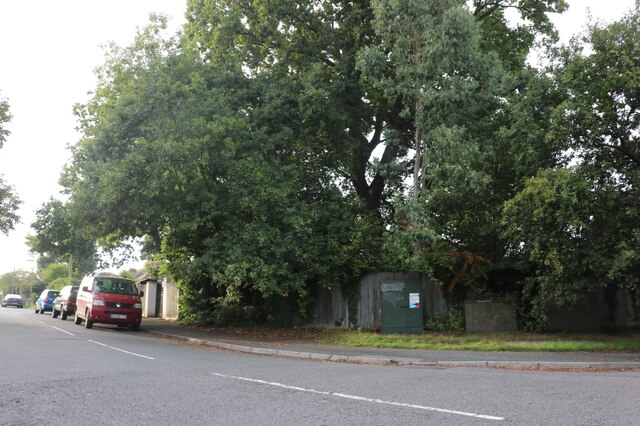
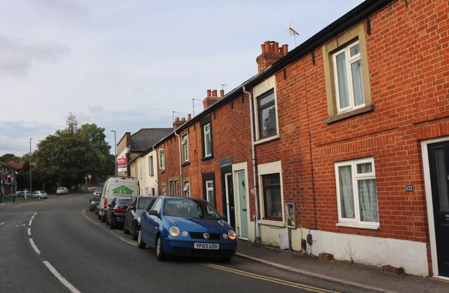
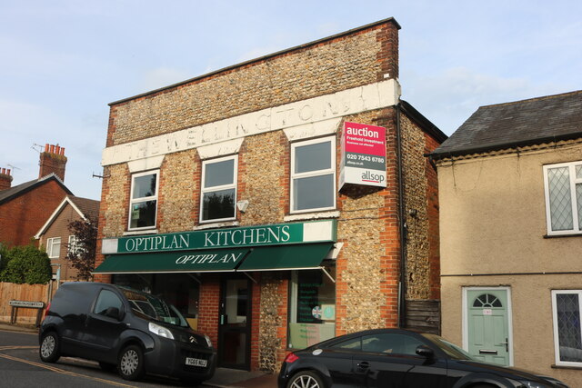
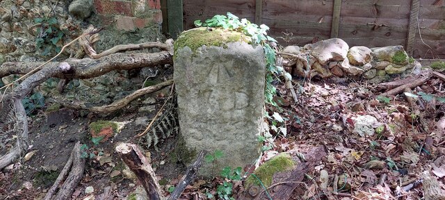
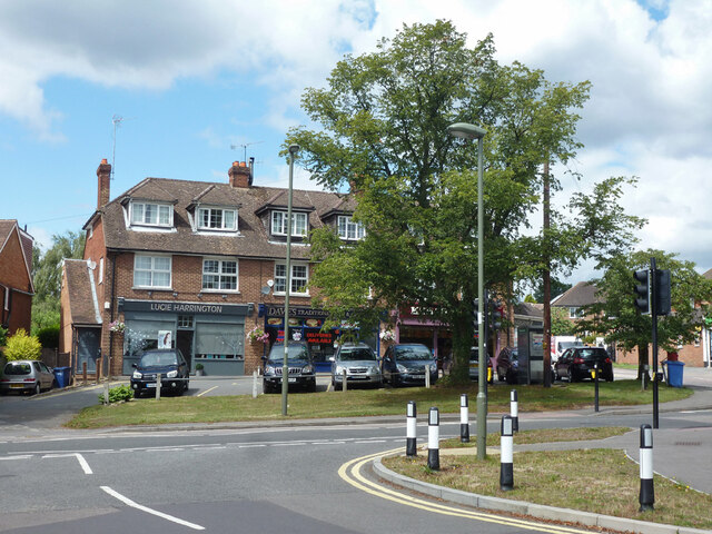
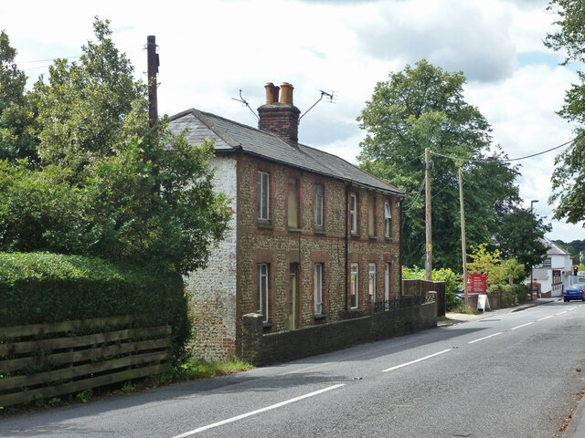
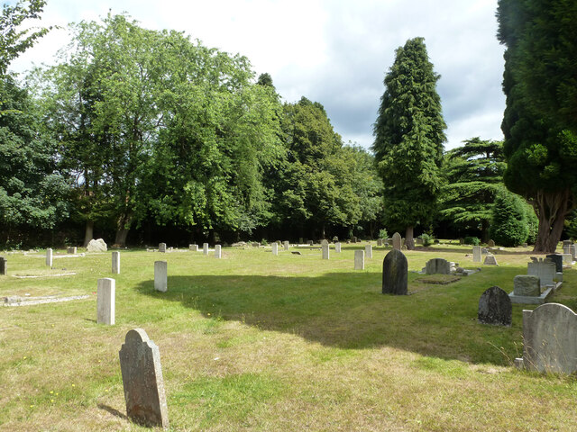
Windy Gap Hill Images
Images are sourced within 2km of 51.242159/-0.79736563 or Grid Reference SU8449. Thanks to Geograph Open Source API. All images are credited.


Windy Gap Hill is located at Grid Ref: SU8449 (Lat: 51.242159, Lng: -0.79736563)
Administrative County: Hampshire
District: Rushmoor
Police Authority: Hampshire
What 3 Words
///handsets.admits.geek. Near Hale, Surrey
Nearby Locations
Related Wikis

Caesar's Camp, Rushmoor and Waverley
Caesar's Camp is an Iron Age hill fort straddling the border of the counties of Surrey and Hampshire in southern England. The fort straddles the borough...

Upper Hale Cemetery, Farnham
Upper Hale Cemetery (also known as Hale Cemetery) is the burial ground for the district of Hale in Farnham in Surrey. Hale grew rapidly after 1854 when...
Blackwater Valley Path
The Blackwater Valley Path follows the River Blackwater from its source in the Rowhill Nature Reserve in Aldershot to just beyond the point where it...

Heath End, Surrey
Heath End is a village in the Waverley district of Surrey, England, traditionally part of the large town parish of Farnham. Heath End is smaller in area...

Royal Pavilion, Aldershot
The Royal Pavilion, also known as the Queen's Pavilion, was a royal residence located at Aldershot in Hampshire. The most unpretentious of all royal residences...
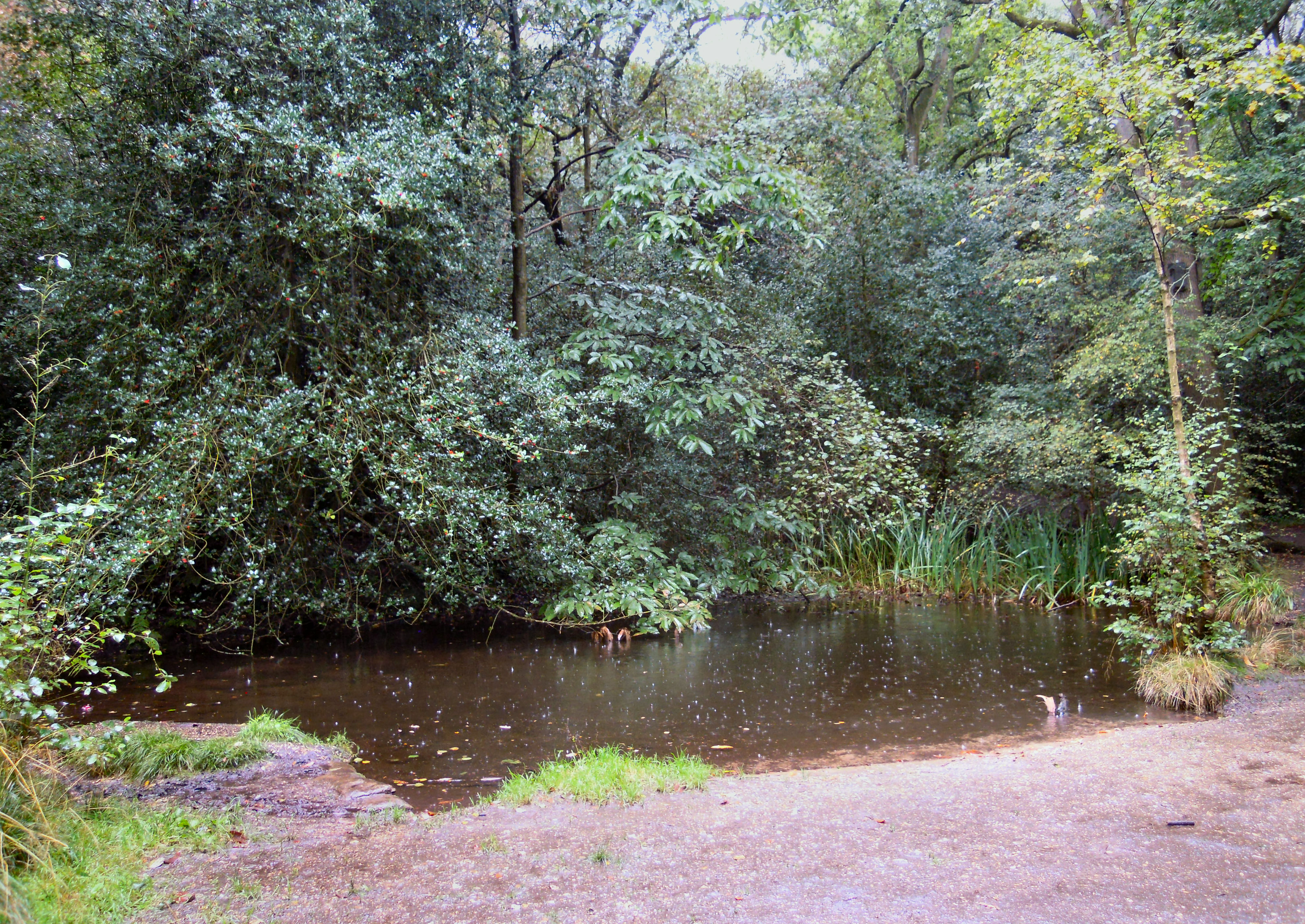
Rowhill Nature Reserve
Rowhill Nature Reserve or Rowhill Copse is a 26.6-hectare (66-acre) Local Nature Reserve (LNR) which straddles the border between Aldershot in Hampshire...
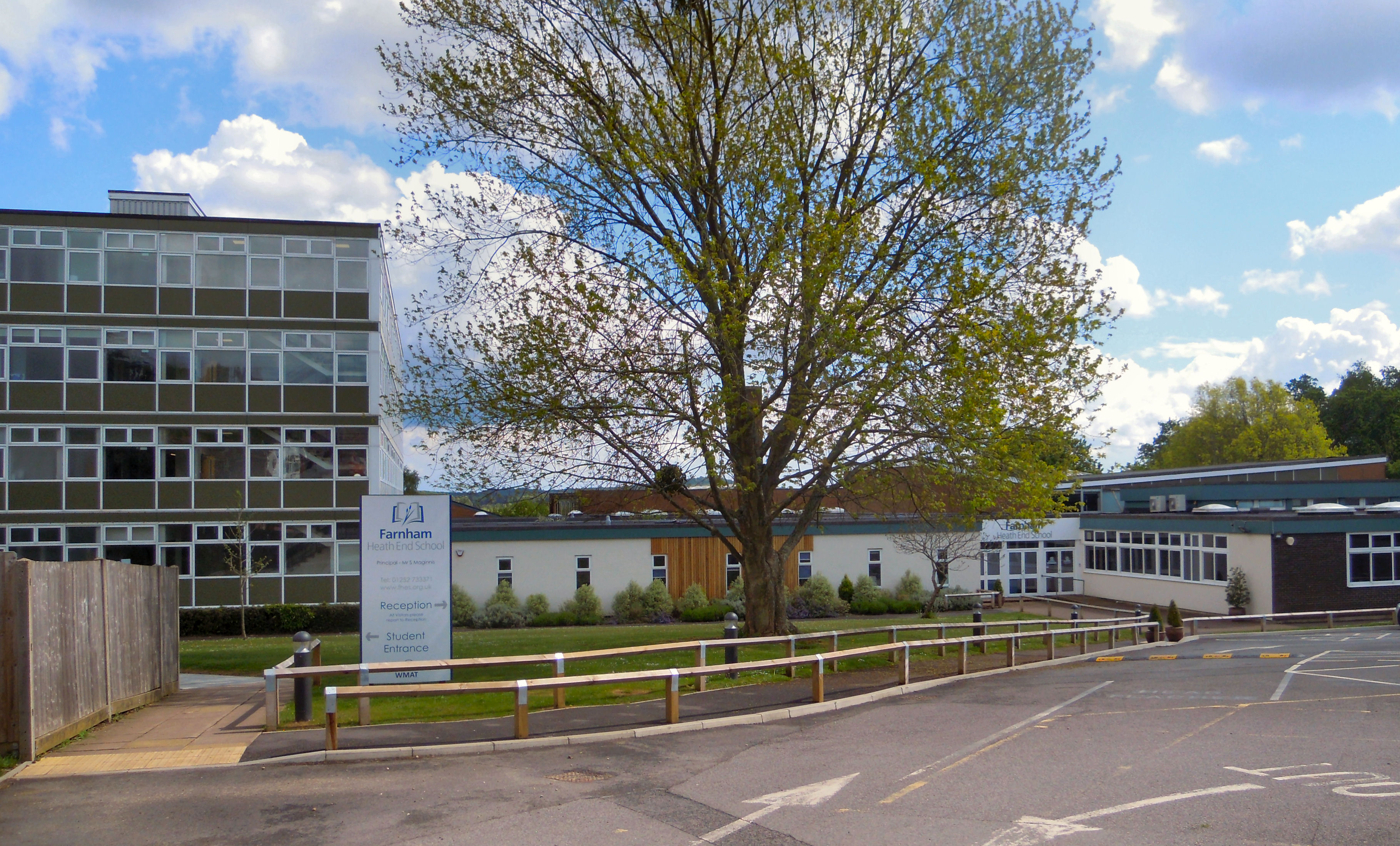
Farnham Heath End School
Farnham Heath End School is a mixed coeducational secondary school with academy status, in Heath End, Surrey, with roughly 900 pupils (987 as of 2021)...

Bourley and Long Valley
Bourley and Long Valley is a 823.5-hectare (2,035-acre) biological Site of Special Scientific Interest between Fleet and Aldershot in Hampshire. It is...
Nearby Amenities
Located within 500m of 51.242159,-0.79736563Have you been to Windy Gap Hill?
Leave your review of Windy Gap Hill below (or comments, questions and feedback).