Hallimore Hill
Hill, Mountain in Surrey Waverley
England
Hallimore Hill
Hallimore Hill is a picturesque hill located in Surrey, England. Situated near the village of Hallimore, it is a prominent landmark in the region. Although referred to as a hill, it is more accurately described as a small mountain, as it stands at an elevation of approximately 600 feet above sea level.
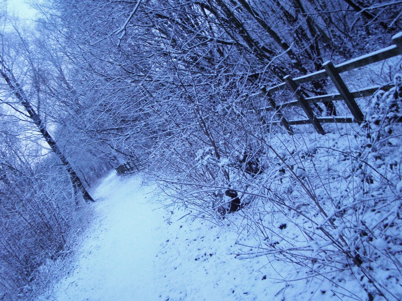
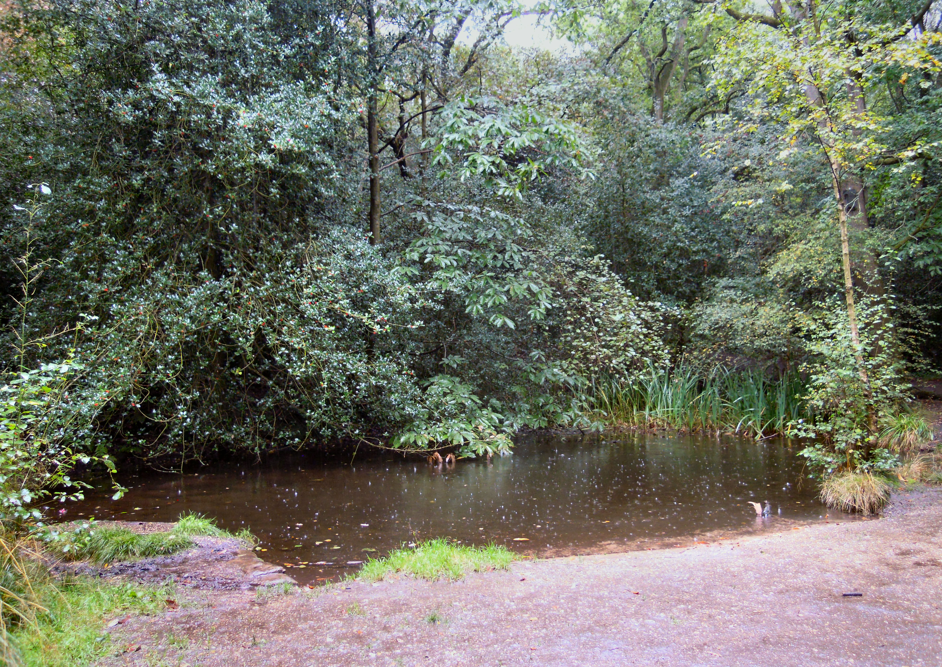
The hill is known for its stunning natural beauty, with lush greenery covering its slopes. It offers breathtaking panoramic views of the surrounding countryside, with rolling hills and meandering streams visible from its peak. The landscape is dotted with charming cottages and farmland, adding to the idyllic charm of the area.
Hallimore Hill is a popular destination for outdoor enthusiasts and nature lovers. It boasts several well-marked hiking trails, allowing visitors to explore its diverse flora and fauna. The hill is home to a variety of plant species, including heather, gorse, and wildflowers, creating a vibrant and colorful landscape throughout the year.
In addition to its natural beauty, the hill also has historical significance. It is believed to have been a site of ancient settlements, with archaeological evidence suggesting human activity dating back thousands of years. The area has also witnessed various historical events, making it of interest to both locals and history enthusiasts.
Overall, Hallimore Hill in Surrey offers a peaceful and serene retreat for those seeking to connect with nature. Its captivating vistas, diverse wildlife, and rich history make it a must-visit destination in the region.
If you have any feedback on the listing, please let us know in the comments section below.
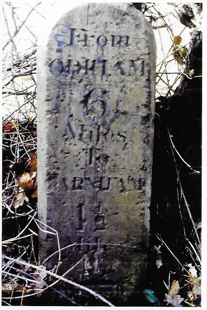
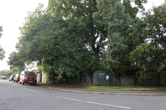
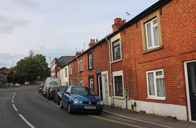
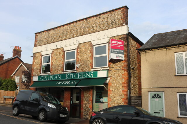
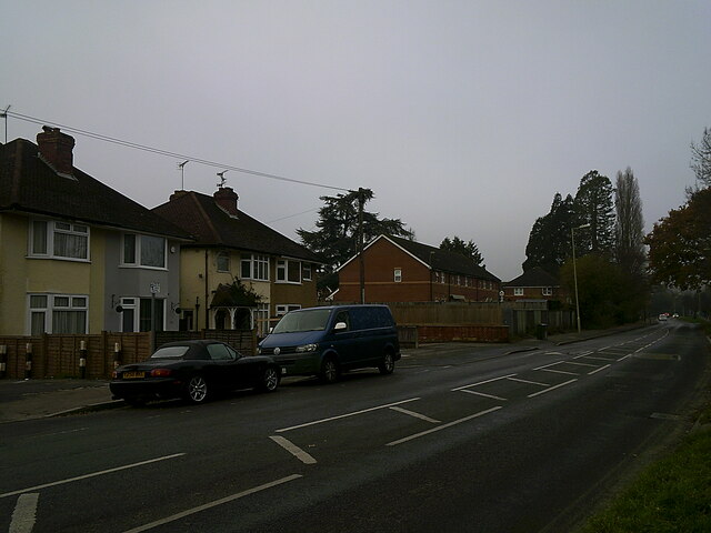
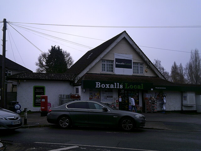
Hallimore Hill Images
Images are sourced within 2km of 51.241162/-0.78617449 or Grid Reference SU8449. Thanks to Geograph Open Source API. All images are credited.


Hallimore Hill is located at Grid Ref: SU8449 (Lat: 51.241162, Lng: -0.78617449)
Administrative County: Surrey
District: Waverley
Police Authority: Surrey
What 3 Words
///fresh.dollar.head. Near Hale, Surrey
Nearby Locations
Related Wikis
Blackwater Valley Path
The Blackwater Valley Path follows the River Blackwater from its source in the Rowhill Nature Reserve in Aldershot to just beyond the point where it...

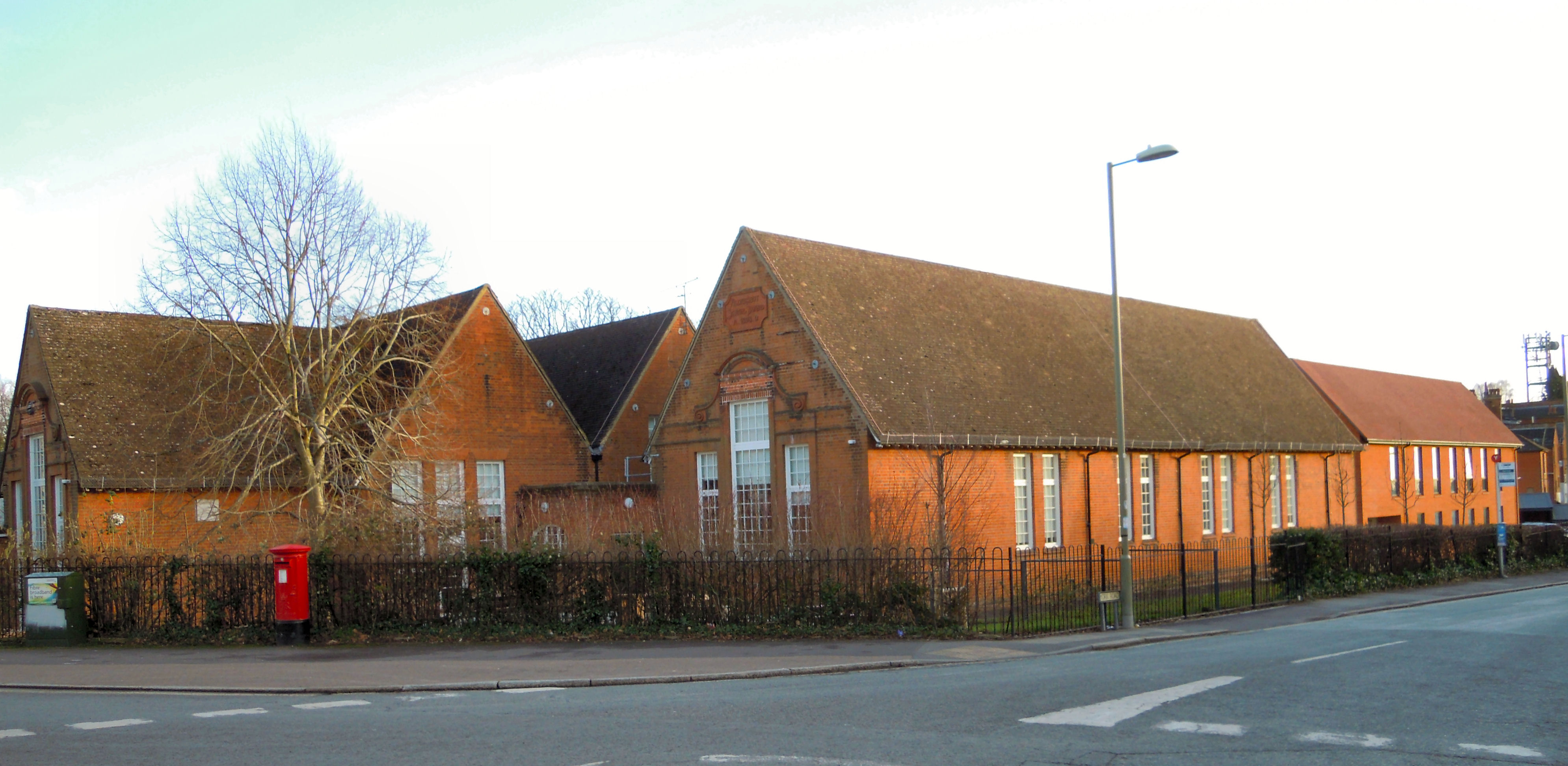
Heath End, Surrey
Heath End is a village in the Waverley district of Surrey, England, traditionally part of the large town parish of Farnham. Heath End is smaller in area...
Rowhill Nature Reserve
Rowhill Nature Reserve or Rowhill Copse is a 26.6-hectare (66-acre) Local Nature Reserve (LNR) which straddles the border between Aldershot in Hampshire...
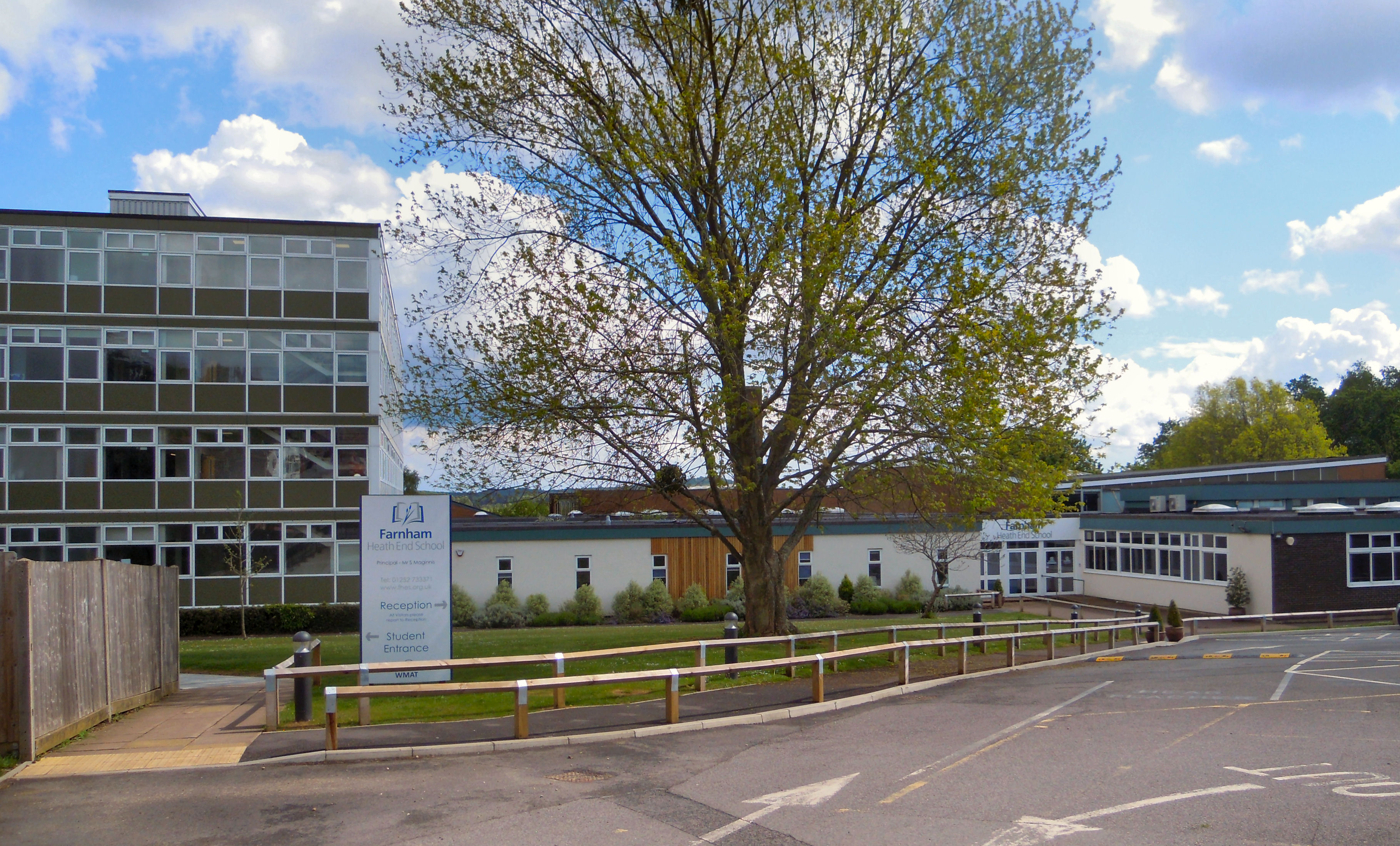
Farnham Heath End School
Farnham Heath End School is a mixed coeducational secondary school with academy status, in Heath End, Surrey, with roughly 900 pupils (987 as of 2021)...

All Hallows Catholic School
All Hallows Catholic School is a mixed, voluntary-aided comprehensive secondary school and Sixth Form in Weybourne, Farnham, Surrey, England. It is a Roman...

Royal Pavilion, Aldershot
The Royal Pavilion, also known as the Queen's Pavilion, was a royal residence located at Aldershot in Hampshire. The most unpretentious of all royal residences...

Upper Hale Cemetery, Farnham
Upper Hale Cemetery (also known as Hale Cemetery) is the burial ground for the district of Hale in Farnham in Surrey. Hale grew rapidly after 1854 when...
Rowhill School, Aldershot
Rowhill School is a special school in Aldershot in Hampshire for vulnerable secondary school pupils aged 11 to 16 who are unable to attend mainstream secondary...
Nearby Amenities
Located within 500m of 51.241162,-0.78617449Have you been to Hallimore Hill?
Leave your review of Hallimore Hill below (or comments, questions and feedback).