Hungry Hill

Hill, Mountain in Surrey Waverley

England

Hungry Hill

South Avenue at the junction of Farnborough Road
South Avenue at the junction of Farnborough Road Credit: David Howard

Hungry Hill is a prominent natural landmark located in Surrey, England. It is a well-known hill or mountain, depending on one's perspective, that offers breathtaking views and a variety of outdoor activities for visitors. The hill is situated in an area of outstanding natural beauty, making it a popular destination for nature enthusiasts and hikers.

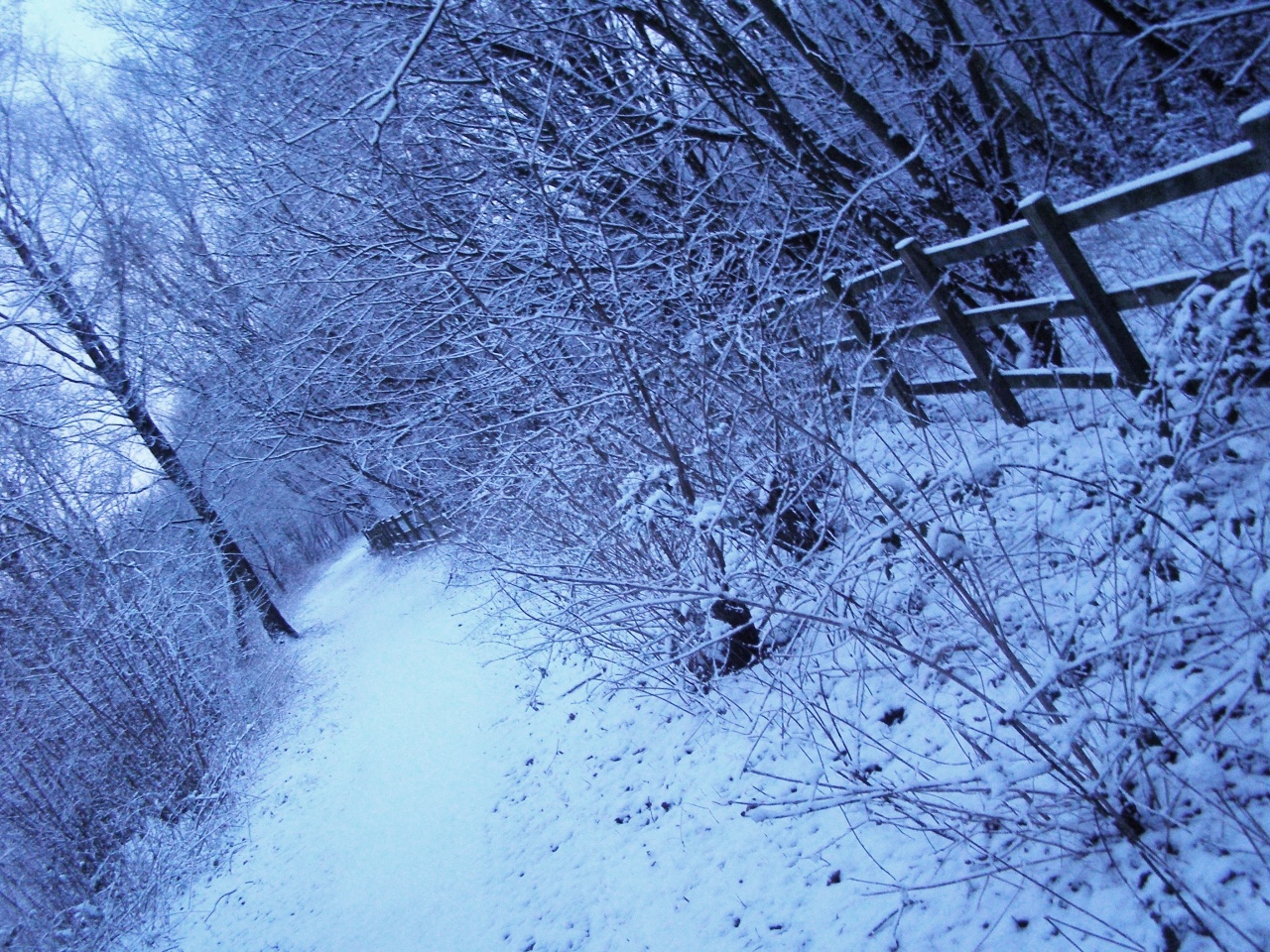
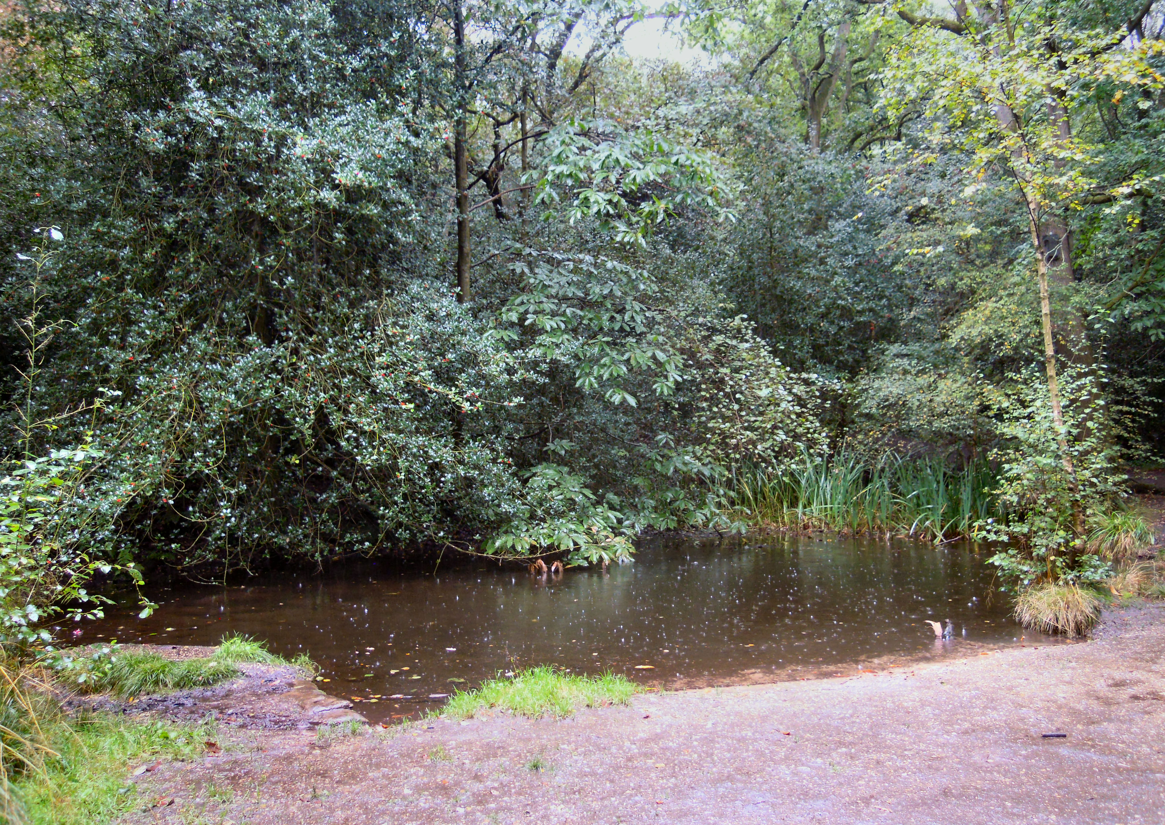
Rising to an elevation of approximately 225 meters, Hungry Hill is characterized by its steep slopes and rugged terrain. The hill is covered in lush greenery, consisting of dense forests and grassy meadows, providing a habitat for a diverse range of flora and fauna. It is a designated Site of Special Scientific Interest due to its ecological significance.

Visitors to Hungry Hill can enjoy a plethora of activities. Hiking and walking trails crisscross the hill, allowing visitors to explore its natural wonders at their own pace. From the summit, one can be rewarded with panoramic views of the surrounding countryside, including the rolling hills and meandering rivers that make up the Surrey landscape.

For those seeking more adventure, Hungry Hill is a popular spot for paragliding and hang gliding. The hill's strong winds and open slopes create ideal conditions for these exhilarating sports. Additionally, the hill is often used for various outdoor events and competitions, attracting athletes and spectators alike.

Hungry Hill is easily accessible, with ample parking and well-maintained footpaths. It is a place of natural beauty and tranquility, offering a peaceful retreat from the hustle and bustle of everyday life. Whether one seeks outdoor activities, stunning scenery, or simply a sense of serenity, Hungry Hill in Surrey provides an unforgettable experience for all who visit.

If you have any feedback on the listing, please let us know in the comments section below.
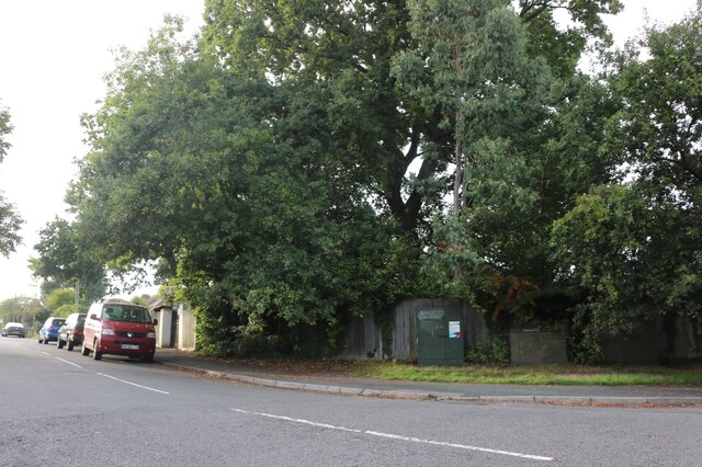
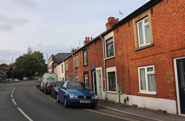
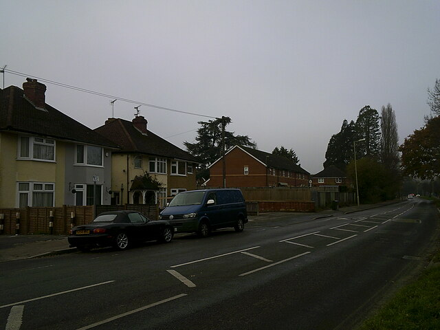
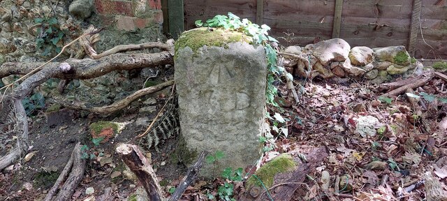
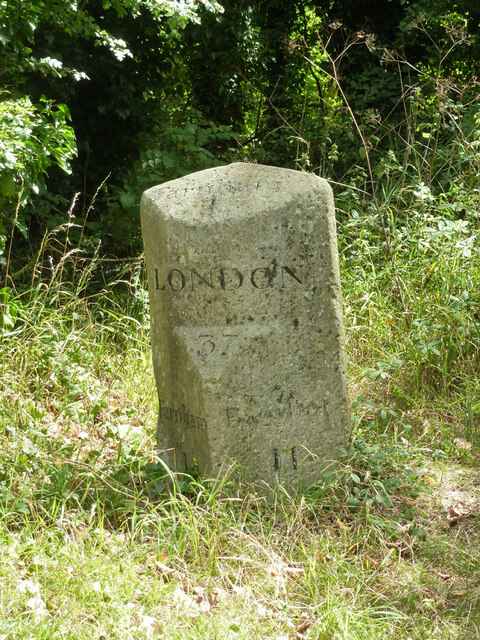
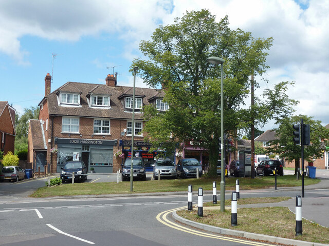
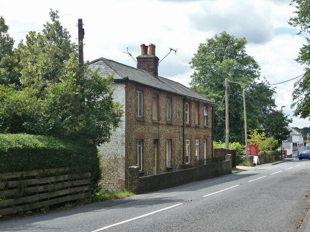
Hungry Hill Images

Images are sourced within 2km of 51.241342/-0.79046754 or Grid Reference SU8449. Thanks to Geograph Open Source API. All images are credited.

South Avenue at the junction of Farnborough Road
South Avenue, Hale
South Avenue, Hale
Farnborough Road, Heath End
Optiplan Kitchens on Farnborough Road, Heath End With a nice ghost sign above it.
Optiplan Kitchens on Farnborough Road, Heath End
With a nice ghost sign above it.
Armsworth Way, Farnham Viewed from Reeve Drive, part of a new development on the edge of Hale.
Armsworth Way, Farnham
Viewed from Reeve Drive, part of a new development on the edge of Hale.
Parked cars in Boxall's Lane
Old Boundary Marker on Hungry Hill, Heath End War Department Boundary Marker on Hungry Hill, heathland behind The Crescent, Heath End. Farnham parish. Inscribed (arrow) / W D / 538. One of 546 numbered boundary markers marked on old OS maps around War Department land on the Hampshire/Surrey border.

Milestone Society National ID: SY_WDFARN538em
Old Boundary Marker on Hungry Hill, Heath End
War Department Boundary Marker on Hungry Hill, heathland behind The Crescent, Heath End. Farnham parish. Inscribed (arrow) / W D / 538. One of 546 numbered boundary markers marked on old OS maps around War Department land on the Hampshire/Surrey border. Milestone Society National ID: SY_WDFARN538em
Allotments off Hale Road Well used, but nobody around on a Thursday morning. The notices are headed 'Farnham Town Council'.
Allotments off Hale Road
Well used, but nobody around on a Thursday morning. The notices are headed 'Farnham Town Council'.
Footbridge on footpath FP 101, Farnham The path runs from the Hale or Six Bells Roundabout to Hale Road, largely paralleling it.
Footbridge on footpath FP 101, Farnham
The path runs from the Hale or Six Bells Roundabout to Hale Road, largely paralleling it.
Lower Road, Hale The former Hale Road, blanked off at this south end.
Lower Road, Hale
The former Hale Road, blanked off at this south end.
Lower Road, Hale The former Hale Road, blanked off at the south end and with this height barrier just south of turnings off to premises to the left.
Lower Road, Hale
The former Hale Road, blanked off at the south end and with this height barrier just south of turnings off to premises to the left.
Horse in the shade In a field near Ravenswood House.
Horse in the shade
In a field near Ravenswood House.
Milestone on Lower Road, Hale Formerly the main road, now bypassed.
Milestone on Lower Road, Hale
Formerly the main road, now bypassed.
Shops, Farnborough Road, Hale
Brooklands Road, unadopted part The road name is continuous, but a barrier ahead divides unadopted from adopted parts.
Brooklands Road, unadopted part
The road name is continuous, but a barrier ahead divides unadopted from adopted parts.
The Alma, Alma Lane, Hale Several pubs are named after the Alma, which is a river that figured prominently in the Crimean War.
The Alma, Alma Lane, Hale
Several pubs are named after the Alma, which is a river that figured prominently in the Crimean War.
Cottages on Alma Lane, Hale
In Hale Cemetery
In Hale Cemetery
Show me another place!

Hungry Hill is located at Grid Ref: SU8449 (Lat: 51.241342, Lng: -0.79046754)

Administrative County: Surrey

District: Waverley

Police Authority: Surrey

What 3 Words

///trunk.fresh.radar. Near Hale, Surrey

Related Wikis

Blackwater Valley Path

The Blackwater Valley Path follows the River Blackwater from its source in the Rowhill Nature Reserve in Aldershot to just beyond the point where it...

Heath End, Surrey

Heath End is a village in the Waverley district of Surrey, England, traditionally part of the large town parish of Farnham. Heath End is smaller in area...

Rowhill Nature Reserve

Rowhill Nature Reserve or Rowhill Copse is a 26.6-hectare (66-acre) Local Nature Reserve (LNR) which straddles the border between Aldershot in Hampshire...

Upper Hale Cemetery, Farnham

Upper Hale Cemetery (also known as Hale Cemetery) is the burial ground for the district of Hale in Farnham in Surrey. Hale grew rapidly after 1854 when...

Nearby Amenities

Located within 500m of 51.241342,-0.79046754
Hungry Hill
Natural: peak
Source: npe
Lat/Long: 51.2409251/-0.7906312
Heath End
Place: neighbourhood
Source: npe
Wikidata: Q5693449
Lat/Long: 51.2379624/-0.7858745
Brickfields Cottages
Addr Street: Brickfields Cottages
Lat/Long: 51.2420533/-0.783671
Post Box
Check Date Collection Times: 2023-05-05
Collection Times: Mo-Fr 09:00; Sa 07:00
Drive Through: yes
Old Ref: GU11 54
Operator: Royal Mail
Operator Wikidata: Q638098
Post Box Type: lamp
Ref: GU11 54D
Royal Cypher: EIIR
Royal Cypher Wikidata: Q33102113
Lat/Long: 51.2429278/-0.784999
Field Centre
Addr City: Rushmoor
Addr Street: Cranmore Lane
Building: yes
Operator: Rowhill Conservation Volunteers
Postal Code: GU11 3BD
Lat/Long: 51.2426197/-0.7855732
Bicycle Parking
Bicycle Parking: stands
Capacity: 4
Check Date: 2023-05-28
Covered: no
Lat/Long: 51.2427388/-0.7848432
Barrier: kerb
Kerb: lowered
Tactile Paving: yes
Lat/Long: 51.2421737/-0.7865881
Crossing
Crossing: uncontrolled
Crossing Island: yes
Kerb: lowered
Tactile Paving: no
Lat/Long: 51.2421937/-0.7866384
Bus Stop
Rowhill Copse
Bench: yes
Bin: yes
Bus: yes
Departures Board: timetable
Lit: yes
Naptan AtcoCode: 1900HA090337
Naptan Bearing: NE
Naptan CommonName: Rowhill Copse
Naptan Crossing: Farnborough Road
Naptan NaptanCode: hamgwjgt
Naptan PlusbusZoneRef: ALDRSHT
Naptan Street: Cranmore Lane
Naptan Verified: no
Public Transport: platform
Shelter: yes
Source: naptan_import
Tactile Paving: no
Lat/Long: 51.2427891/-0.785827
Crossing
Crossing: uncontrolled
Crossing Island: yes
Kerb: lowered
Tactile Paving: yes
Lat/Long: 51.2426424/-0.7861284
Turning Circle
Lat/Long: 51.2376694/-0.7897112
Post Box
Check Date Collection Times: 2022-02-28
Collection Times: Mo-Fr 09:00; Sa 07:00
Drive Through: no
Operator: Royal Mail
Operator Wikidata: Q638098
Post Box Type: pillar
Ref: GU9 75D
Royal Cypher: EIIR
Royal Cypher Wikidata: Q33102113
Source: local_knowledge
Lat/Long: 51.2379554/-0.7873234
Bus Stop
Rowhill Copse
Bench: no
Bin: no
Bus: yes
Departures Board: timetable
Lit: yes
Naptan AtcoCode: 1900HA090338
Naptan Bearing: SW
Naptan CommonName: Rowhill Copse
Naptan Crossing: Farnborough Road
Naptan NaptanCode: hamgwjgw
Naptan PlusbusZoneRef: ALDRSHT
Naptan Street: Cranmore Lane
Naptan Verified: no
Public Transport: platform
Shelter: no
Source: naptan_import
Tactile Paving: no
Lat/Long: 51.2426999/-0.7858029
Bus Stop
Cranmore Lane
Bench: no
Bin: no
Bus: yes
Lit: yes
Naptan AtcoCode: 1900HA090339
Naptan Bearing: N
Naptan CommonName: Cranmore Lane
Naptan Crossing: Cranmore Lane
Naptan NaptanCode: hamgwjgj
Naptan PlusbusZoneRef: ALDRSHT
Naptan Street: Farnborough Road
Naptan Verified: no
Public Transport: platform
Shelter: no
Source: naptan_import
Tactile Paving: no
Lat/Long: 51.2430644/-0.7861258
Bus Stop
Cranmore Lane
Bench: no
Bin: no
Bus: yes
Lit: yes
Naptan AtcoCode: 1900HA090340
Naptan Bearing: S
Naptan CommonName: Cranmore Lane
Naptan Crossing: Cranmore Lane
Naptan NaptanCode: hamgwjgm
Naptan PlusbusZoneRef: ALDRSHT
Naptan Street: Farnborough Road
Naptan Verified: no
Public Transport: platform
Shelter: no
Source: naptan_import
Tactile Paving: no
Lat/Long: 51.2431366/-0.7859725
Bus Stop
Heath End Post Office
Alt Name: Heath End Post Office
Bench: no
Bin: yes
Bus: yes
Lit: yes
Naptan AltCommonName: Heath End Post Office
Naptan AltStreet: Farnborough Road
Naptan AtcoCode: 40004411387A
Naptan Bearing: N
Naptan CommonName: Post Office
Naptan Indicator: Just after
Naptan Landmark: Lower Weybourne Lane
Naptan NaptanCode: surgjgpm
Naptan PlusbusZoneRef: ALDRSHT
Naptan Street: Farnborough Road
Naptan Verified: no
Public Transport: platform
Shelter: no
Source: naptan_import
Tactile Paving: no
Lat/Long: 51.2387769/-0.786826
Bus Stop
The Alma
Bench: no
Bin: no
Bus: yes
Lit: yes
Naptan AtcoCode: 40004411388A
Naptan Bearing: E
Naptan CommonName: The Alma
Naptan Indicator: Just after
Naptan Landmark: The Alma
Naptan NaptanCode: surgjgta
Naptan PlusbusZoneRef: ALDRSHT
Naptan Street: Alma Lane
Naptan Verified: no
Public Transport: platform
Shelter: no
Source: naptan_import
Tactile Paving: no
Lat/Long: 51.2381269/-0.7909258
Bus Stop
The Alma
Bench: no
Bin: no
Bus: yes
Lit: yes
Naptan AtcoCode: 40004411388B
Naptan Bearing: W
Naptan CommonName: The Alma
Naptan Indicator: O/s
Naptan Landmark: The Alma
Naptan NaptanCode: surgjgtd
Naptan PlusbusZoneRef: ALDRSHT
Naptan Street: Alma Lane
Naptan Verified: no
Public Transport: platform
Shelter: no
Source: naptan_import
Tactile Paving: no
Lat/Long: 51.2375983/-0.7919854
Hallimore Hill
Natural: peak
Lat/Long: 51.2415381/-0.7860346
Barrier: kerb
Kerb: lowered
Tactile Paving: yes
Lat/Long: 51.24221/-0.7866796
Bench
Backrest: yes
Lat/Long: 51.2428962/-0.7857019
Crossing
Bicycle: yes
Crossing: uncontrolled
Crossing Island: yes
Kerb: lowered
Source: survey
Tactile Paving: yes
Lat/Long: 51.2428641/-0.785445
Traffic Signals
Traffic Signals Direction: forward
Lat/Long: 51.23787/-0.7871185
Traffic Signals
Traffic Signals Direction: forward
Lat/Long: 51.2380725/-0.7872692
Traffic Signals
Traffic Signals Direction: forward
Lat/Long: 51.2380298/-0.7872638
Traffic Signals
Traffic Signals Direction: backward
Lat/Long: 51.2381059/-0.7870556
Crossing
Crossing: unmarked
Crossing Markings: no
Tactile Paving: no
Lat/Long: 51.2379904/-0.7869803
Crossing
Crossing: traffic_signals
Crossing Island: no
Crossing Ref: pelican
Kerb: lowered
Tactile Paving: yes
Traffic Signals Sound: no
Lat/Long: 51.2380574/-0.7870765
Crossing
Button Operated: yes
Crossing: traffic_signals
Crossing Ref: pelican
Kerb: lowered
Tactile Paving: yes
Traffic Signals Sound: no
Lat/Long: 51.2380935/-0.7871577
Crossing
Button Operated: yes
Crossing: traffic_signals
Crossing Island: yes
Crossing Ref: pelican
Kerb: lowered
Tactile Paving: yes
Traffic Signals Sound: no
Lat/Long: 51.2380175/-0.7871769
Pub
The Alma
Addr City: Farnham
Addr Housenumber: 21
Addr Postcode: GU9 0LJ
Addr Street: Alma Lane
Contact Phone: +44 1252 266373
Contact Website: http://www.thealmafarnham.com/
Fhrs Id: 182887
Opening Hours: Mo-Th 14:00-23:00; Fr 14:00-24:00; Sa 12:00-24:00; Su 12:00-22:30
Smoking: outside
Lat/Long: 51.2375863/-0.7917005
Creative Style
Addr City: Farnham
Addr Housenumber: 14
Addr Postcode: GU9 0LA
Addr Street: Alma Lane
Opening Hours: Tu-Th 09:00-17:00; Fr 09:00-19:00; Sa 08:30-16:30; Su 10:00-16:00; Mo off
Shop: hairdresser
Lat/Long: 51.2381744/-0.7880159
CTH Hire
Addr City: Farnham
Addr Housenumber: 149
Addr Postcode: GU9 9DD
Addr Street: Upper Weybourne Lane
Contact Phone: +441252 333122
Contact Website: http://cthhire.co.uk/
Operator: CTH Hire Centres Ltd
Shop: tool_hire
Source Addr: survey
Source Addr Postcode: companies house opendata
Lat/Long: 51.2389703/-0.7861099
Atm
Cash In: no
Check Date: 2024-02-22
Currency GBP: yes
Drive Through: no
Network: LINK
Operator: Link
Lat/Long: 51.2391254/-0.786512
Barrier: kissing_gate
Lat/Long: 51.2397829/-0.7909168
Entrance: yes
Lat/Long: 51.2377544/-0.7918944
Entrance: yes
Lat/Long: 51.2379519/-0.7916351
Barrier: kissing_gate
Foot: yes
Motor Vehicle: private
Lat/Long: 51.2396286/-0.7949945
Barrier: stile
Material: wood
Step Count: 2
Stile: stepover
Lat/Long: 51.2404097/-0.7892677
Long Bottom
Place: locality
Source: OS OpenData StreetView
Lat/Long: 51.2413493/-0.7959351
Barrier: kissing_gate
Lat/Long: 51.2407662/-0.7885447
Barrier: kissing_gate
Bicycle: dismount
Motor Vehicle: no
Lat/Long: 51.2429123/-0.7864214
Colour: green
Man Made: street_cabinet
Operator: British Telecom
Ref: 32
Street Cabinet: telecom
Telecom: connection_point
Telecom Medium: copper
Utility: telecom
Lat/Long: 51.238222/-0.7892282
Life Ring
Emergency: life_ring
Lat/Long: 51.2421234/-0.7955066
Life Ring
Emergency: life_ring
Lat/Long: 51.2415827/-0.7945945
Colour: green
Man Made: street_cabinet
Operator: British Telecom
Ref: 12
Source: survey
Street Cabinet: telecom
Telecom: connection_point
Telecom Medium: copper
Utility: telecom
Lat/Long: 51.2383685/-0.7852132
Colour: green
Man Made: street_cabinet
Operator: British Telecom
Ref: 11
Street Cabinet: telecom
Telecom: connection_point
Telecom Medium: copper
Utility: telecom
Lat/Long: 51.2418862/-0.7867261
Door: hinged
Entrance: yes
Wheelchair: limited
Lat/Long: 51.2421216/-0.787562
Crossing
Crossing: uncontrolled
Crossing Island: yes
Kerb: lowered
Tactile Paving: yes
Lat/Long: 51.2426952/-0.7862604
Crossing
Crossing: uncontrolled
Crossing Island: yes
Kerb: lowered
Source: Bing; Mapillary
Tactile Paving: yes
Lat/Long: 51.239525/-0.7863696
Crossing
Crossing: uncontrolled
Crossing Island: yes
Kerb: lowered
Source: Bing; Mapillary
Tactile Paving: yes
Lat/Long: 51.2394487/-0.7863889
Crossing
Crossing: uncontrolled
Crossing Island: yes
Kerb: lowered
Tactile Paving: no
Lat/Long: 51.242691/-0.7863232
Crossing
Crossing: uncontrolled
Crossing Island: yes
Kerb: lowered
Tactile Paving: yes
Lat/Long: 51.2426086/-0.7861137
Bus Stop
Heath End Post Office
Bench: yes
Bin: yes
Bus: yes
Lit: yes
Naptan AtcoCode: 40004411387C
Naptan NaptanCode: surgjgpw
Public Transport: platform
Shelter: yes
Tactile Paving: no
Lat/Long: 51.2380537/-0.7880703
Parcel Locker
Amazon Locker
Brand: Amazon Locker
Brand Wikidata: Q16974764
Brand Wikipedia: en:Amazon Locker
Lat/Long: 51.2391124/-0.7865089
Direction: 210
Generator Method: photovoltaic
Generator Output Electricity: yes
Generator Solar Modules: 16
Generator Source: solar
Generator Type: solar_photovoltaic_panel
Power: generator
Lat/Long: 51.237389/-0.7898055
Direction: 250
Generator Method: photovoltaic
Generator Output Electricity: yes
Generator Solar Modules: 10
Generator Source: solar
Generator Type: solar_photovoltaic_panel
Location: roof
Power: generator
Lat/Long: 51.2400075/-0.7874701
Direction: 270
Generator Method: photovoltaic
Generator Output Electricity: yes
Generator Solar Modules: 10
Generator Source: solar
Generator Type: solar_photovoltaic_panel
Location: roof
Power: generator
Lat/Long: 51.2398281/-0.7874498
Direction: 90
Generator Method: photovoltaic
Generator Output Electricity: yes
Generator Solar Modules: 10
Generator Source: solar
Generator Type: solar_photovoltaic_panel
Location: roof
Power: generator
Lat/Long: 51.2398273/-0.7873793
Direction: 180
Generator Method: photovoltaic
Generator Output Electricity: yes
Generator Solar Modules: 20
Generator Source: solar
Generator Type: solar_photovoltaic_panel
Location: roof
Power: generator
Lat/Long: 51.2375876/-0.7888648
Direction: south
Generator Method: photovoltaic
Generator Output Electricity: yes
Generator Solar Modules: 16
Generator Source: solar
Generator Type: solar_photovoltaic_panel
Location: roof
Power: generator
Lat/Long: 51.2383102/-0.7885187
Direction: SE
Generator Method: photovoltaic
Generator Output Electricity: yes
Generator Solar Modules: 6
Generator Source: solar
Generator Type: solar_photovoltaic_panel
Location: roof
Power: generator
Lat/Long: 51.239095/-0.7909186
Direction: SE
Generator Method: photovoltaic
Generator Output Electricity: yes
Generator Solar Modules: 6
Generator Source: solar
Generator Type: solar_photovoltaic_panel
Location: roof
Power: generator
Lat/Long: 51.2390534/-0.790979
Direction: 175
Generator Method: photovoltaic
Generator Output Electricity: yes
Generator Solar Modules: 4
Generator Source: solar
Generator Type: solar_photovoltaic_panel
Location: roof
Power: generator
Lat/Long: 51.2387738/-0.7892825
Direction: SW
Generator Method: photovoltaic
Generator Output Electricity: yes
Generator Solar Modules: 7
Generator Source: solar
Generator Type: solar_photovoltaic_panel
Location: roof
Power: generator
Lat/Long: 51.237255/-0.7922376
Direction: 235
Generator Method: photovoltaic
Generator Output Electricity: yes
Generator Solar Modules: 12
Generator Source: solar
Generator Type: solar_photovoltaic_panel
Location: roof
Power: generator
Lat/Long: 51.2377476/-0.7943898
Barrier: swing_gate
Locked: no
Material: wood
Lat/Long: 51.2384783/-0.7913345
Fire Hydrant
Emergency: fire_hydrant
Fire Hydrant Diameter: 4"
Fire Hydrant Position: sidewalk
Fire Hydrant Type: underground
Lat/Long: 51.2369589/-0.7889089
Generator Method: photovoltaic
Generator Solar Modules: 15
Generator Source: solar
Generator Type: solar_photovoltaic_panel
Location: roof
Power: generator
Lat/Long: 51.2372853/-0.7887917
Waste Basket
Colour: black
Material: metal
Operator: Waverley Borough Council
Waste: litter;cigarettes
Lat/Long: 51.2382419/-0.7891991
Parcel Locker
Brand: Amazon Hub
Brand Wikidata: Q100274430
Check Date: 2023-03-17
Colour: blue
Operator: Amazon
Parcel Pickup: yes
Ref: joga
Lat/Long: 51.2390287/-0.7865799
Fire Hydrant
Emergency: fire_hydrant
Fire Hydrant Diameter: 100
Fire Hydrant Position: lane
Fire Hydrant Type: underground
Lat/Long: 51.2380414/-0.7870367
Information: board
Tourism: information
Lat/Long: 51.241283/-0.7846422
Defibrillator
Defibrillator Location: In yellow/green external wall mounted box on side facing Farnborough Road.
Emergency: defibrillator
Indoor: no
Lat/Long: 51.2397531/-0.7863262
The data included in this document is from www.openstreetmap.org. The data is made available under ODbL.

Have you been to Hungry Hill?

Leave your review of Hungry Hill below (or comments, questions and feedback).