Willingham Hill
Hill, Mountain in Lincolnshire West Lindsey
England
Willingham Hill
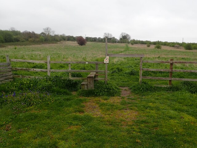
Willingham Hill is a prominent geological feature located in Lincolnshire, England. Despite its name, it is not a hill in the traditional sense, but rather a small rise in the landscape, commonly referred to as a "hill" in the local area. It is situated near the village of Willingham by Stow, approximately 10 miles northwest of the city of Lincoln.
Standing at an elevation of around 100 meters above sea level, Willingham Hill offers panoramic views of the surrounding countryside. It is composed of a mixture of chalk, limestone, and clay, giving it a unique appearance and contributing to its geological significance.
The hill is a popular destination for locals and visitors alike, attracting hikers and nature enthusiasts who enjoy exploring the area's diverse flora and fauna. It is home to a variety of plant species, including wildflowers such as harebells and cowslips, as well as several species of birds and butterflies.
Willingham Hill also holds historical significance, with evidence of human activity dating back to the Neolithic period. Archaeological finds in the vicinity suggest that the area was once inhabited by ancient civilizations, and remnants of a Roman road can still be seen today.
In recent years, efforts have been made to preserve and protect Willingham Hill's natural beauty and cultural heritage. Local conservation groups work together to maintain footpaths, prevent erosion, and promote responsible tourism in the area.
If you have any feedback on the listing, please let us know in the comments section below.
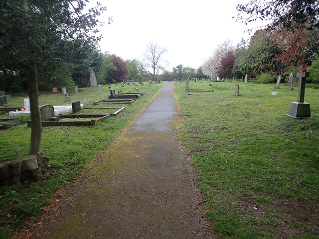
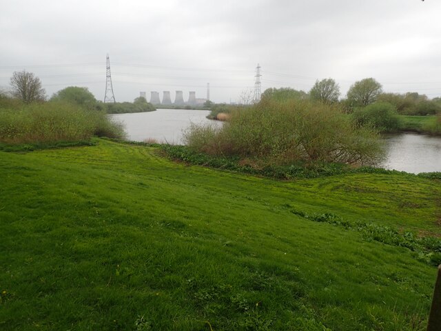
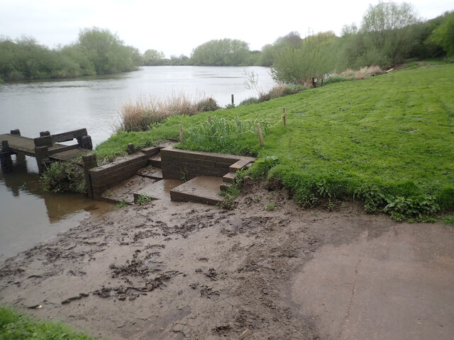
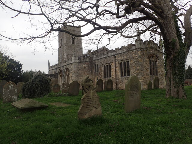
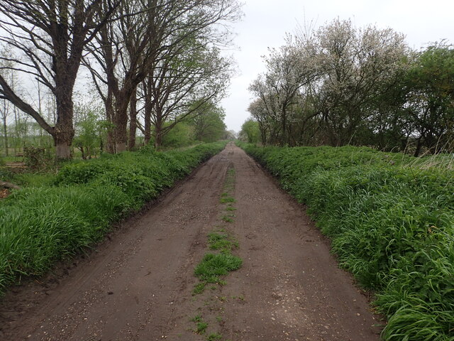
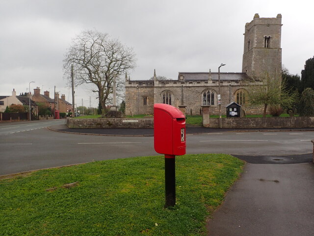
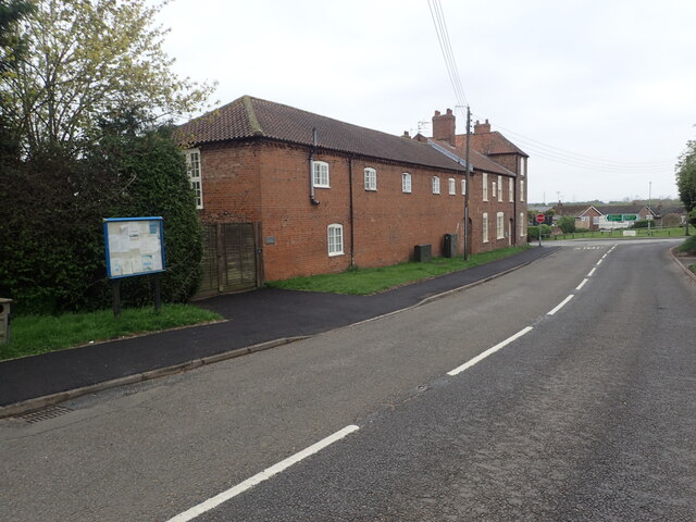
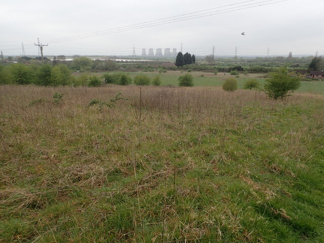
Willingham Hill Images
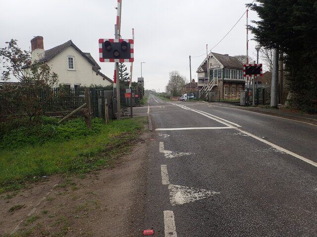
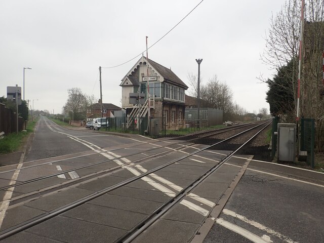
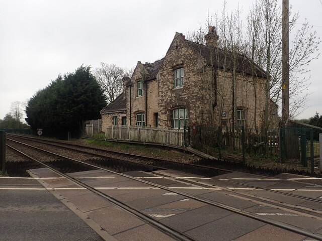
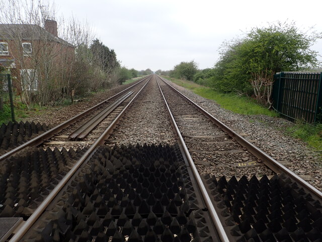
Images are sourced within 2km of 53.331492/-0.73894765 or Grid Reference SK8482. Thanks to Geograph Open Source API. All images are credited.

Willingham Hill is located at Grid Ref: SK8482 (Lat: 53.331492, Lng: -0.73894765)
Administrative County: Lincolnshire
District: West Lindsey
Police Authority: Lincolnshire
What 3 Words
///primary.loudness.terminal. Near Willingham, Lincolnshire
Nearby Locations
Related Wikis

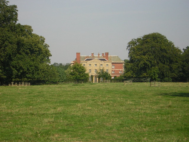
Marton, Lincolnshire
Marton is a village and civil parish in the West Lindsey district of Lincolnshire, England. It is situated at the junction between the A156 and the A1500...
Gate Burton
Gate Burton (sometimes called Burton Gate), is a village and civil parish in the West Lindsey district of Lincolnshire, England. It is situated 4 miles...

A156 road
The A156 is an 11 miles (18 km) long road that runs from the A57 near Saxilby and heads north to Gainsborough. The road runs entirely within Lincolnshire...

Littleborough, Nottinghamshire
Littleborough is a village and former civil parish, now in the parish of Sturton le Steeple, in the Bassetlaw district, in the county of Nottinghamshire...

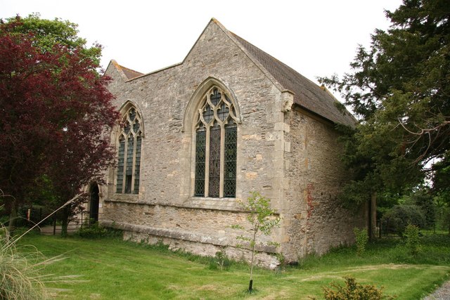
St Nicholas Church, Littleborough
St Nicholas Church is a redundant Anglican church in the hamlet of Littleborough, Nottinghamshire, England. It is recorded in the National Heritage List...
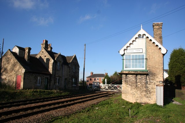
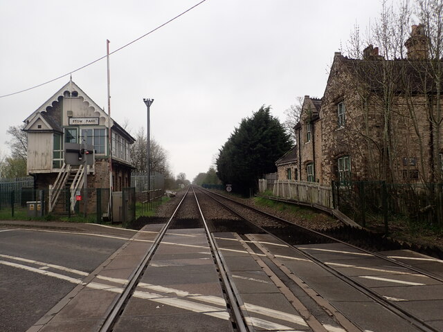
Stow Park railway station
Stow Park railway station was a railway station that served the villages of Marton and Stow in Lincolnshire, England on the line between Lincoln and Doncaster...

Coates, Nottinghamshire
Coates is a hamlet in Nottinghamshire, England. It is located 8 miles south of Gainsborough. on the west bank of the River Trent. The hamlet is within...
Knaith
Knaith is a village and civil parish about 3 miles (5 km) south of the town of Gainsborough in the West Lindsey district of Lincolnshire, England. The...
Nearby Amenities
Located within 500m of 53.331492,-0.73894765Have you been to Willingham Hill?
Leave your review of Willingham Hill below (or comments, questions and feedback).