Golddale Plantation
Wood, Forest in Lincolnshire West Lindsey
England
Golddale Plantation
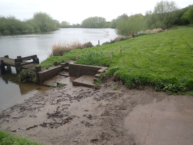
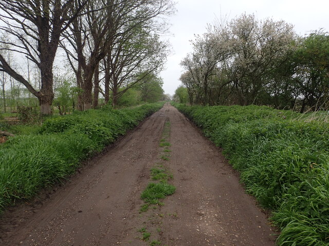
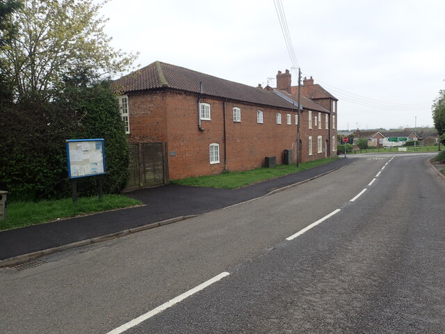
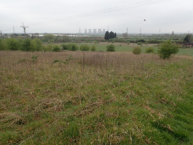
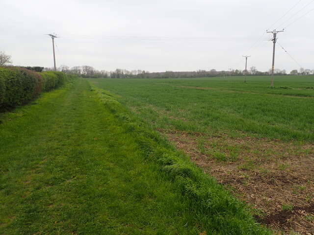
Golddale Plantation is a picturesque woodland area located in Lincolnshire, England. Situated in the heart of the county, this plantation offers a tranquil escape surrounded by natural beauty. Covering an extensive area, Golddale Plantation is renowned for its dense forest and thriving wildlife.
The plantation is predominantly composed of deciduous trees, including oak, beech, and birch, which create a varied and vibrant landscape throughout the year. The woodland floor is adorned with a diverse range of plants, such as bluebells, wild garlic, and ferns, adding to the plantation's enchanting atmosphere.
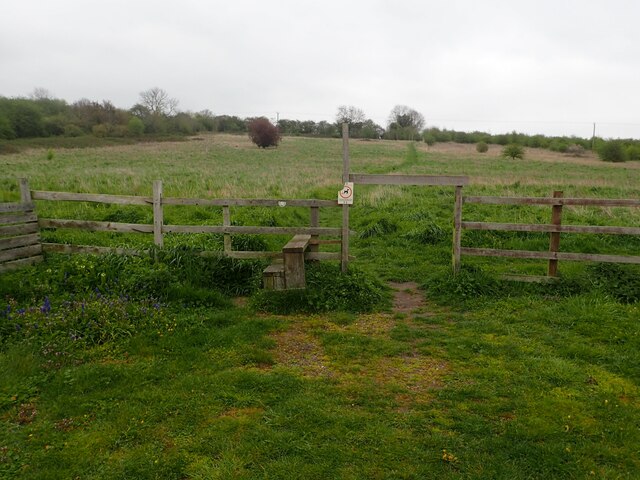
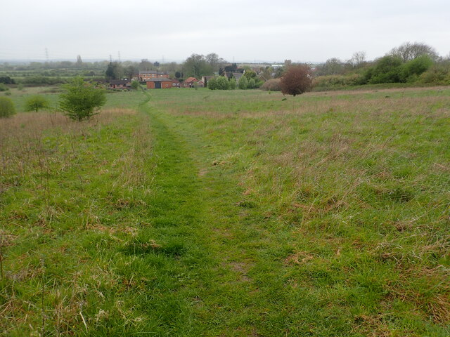
Golddale Plantation boasts several well-maintained walking trails, allowing visitors to explore and immerse themselves in the natural surroundings. These pathways are suitable for all fitness levels and offer opportunities for both leisurely strolls and more vigorous hikes. Along the trails, visitors may encounter various wildlife species, including deer, squirrels, and a wide variety of birdlife.
The plantation's serene atmosphere makes it a popular destination for nature enthusiasts, photographers, and those seeking a peaceful retreat. It is also a favored location for educational visits and organized nature walks, providing an opportunity to learn about the local ecosystem and the importance of conservation.
Golddale Plantation, with its idyllic woodland setting, is a true gem in Lincolnshire. Whether one seeks solace in nature, wishes to explore diverse flora and fauna, or simply desires a break from the bustle of everyday life, this plantation offers a haven of tranquility and natural splendor.
If you have any feedback on the listing, please let us know in the comments section below.
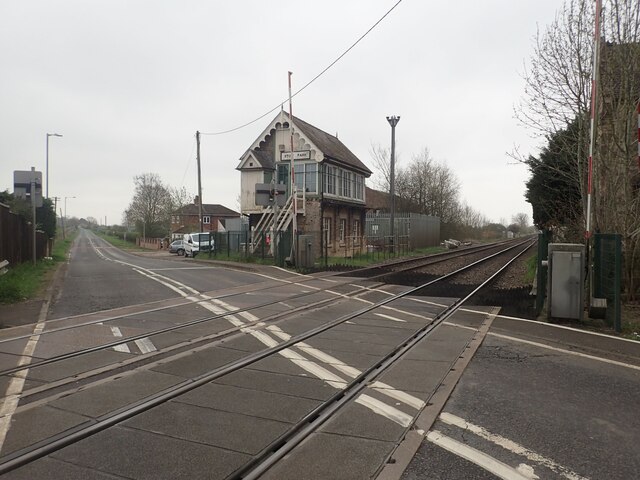
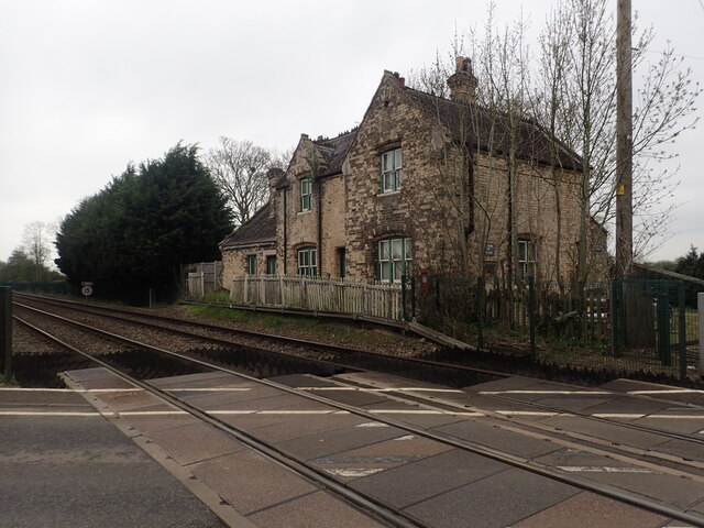
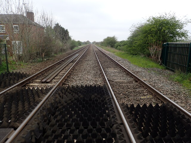
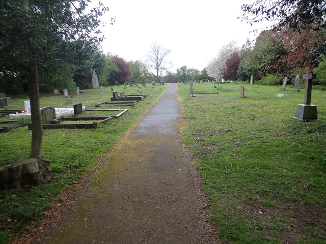
Golddale Plantation Images
Images are sourced within 2km of 53.332999/-0.72508736 or Grid Reference SK8482. Thanks to Geograph Open Source API. All images are credited.

Golddale Plantation is located at Grid Ref: SK8482 (Lat: 53.332999, Lng: -0.72508736)
Administrative County: Lincolnshire
District: West Lindsey
Police Authority: Lincolnshire
What 3 Words
///fallback.fronted.hook. Near Willingham, Lincolnshire
Nearby Locations
Related Wikis

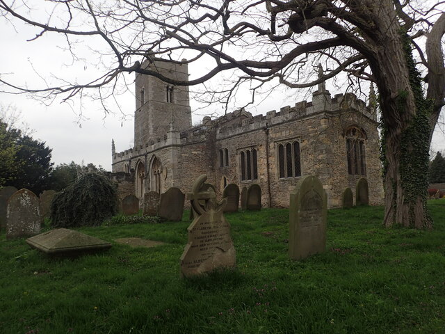
Marton, Lincolnshire
Marton is a village and civil parish in the West Lindsey district of Lincolnshire, England. It is situated at the junction between the A156 and the A1500...
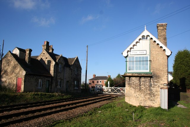
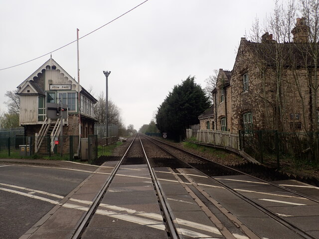
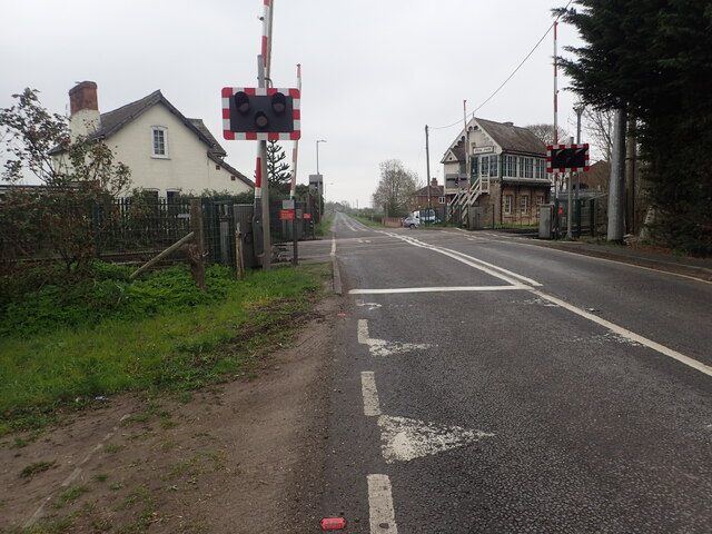
Stow Park railway station
Stow Park railway station was a railway station that served the villages of Marton and Stow in Lincolnshire, England on the line between Lincoln and Doncaster...
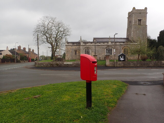
Gate Burton
Gate Burton (sometimes called Burton Gate), is a village and civil parish in the West Lindsey district of Lincolnshire, England. It is situated 4 miles...

A156 road
The A156 is an 11 miles (18 km) long road that runs from the A57 near Saxilby and heads north to Gainsborough. The road runs entirely within Lincolnshire...

Littleborough, Nottinghamshire
Littleborough is a village and former civil parish, now in the parish of Sturton le Steeple, in the Bassetlaw district, in the county of Nottinghamshire...

St Nicholas Church, Littleborough
St Nicholas Church is a redundant Anglican church in the hamlet of Littleborough, Nottinghamshire, England. It is recorded in the National Heritage List...

Heynings Priory
Heynings Priory was a priory in Knaith, Lincolnshire, England. The priory of Heynings was founded by Rayner de Evermue, Lord of Knaith, for Cistercian...
Knaith
Knaith is a village and civil parish about 3 miles (5 km) south of the town of Gainsborough in the West Lindsey district of Lincolnshire, England. The...
Nearby Amenities
Located within 500m of 53.332999,-0.72508736Have you been to Golddale Plantation?
Leave your review of Golddale Plantation below (or comments, questions and feedback).