Abbotts Wood Hill

Hill, Mountain in Hampshire Waverley

England

Abbotts Wood Hill

Oast House Single square kiln oast house.

Known as The Hop Kiln.
Oast House Credit: Oast House Archive

Abbotts Wood Hill is a picturesque hill located in Hampshire, a county in the southern part of England. Situated in the South Downs National Park, this hill offers breathtaking views and is a popular destination for nature enthusiasts and hikers.

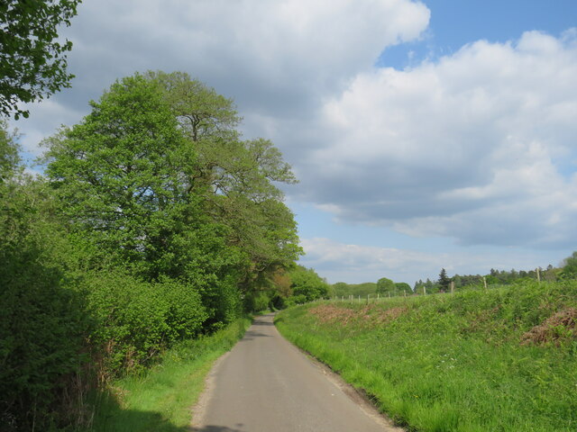
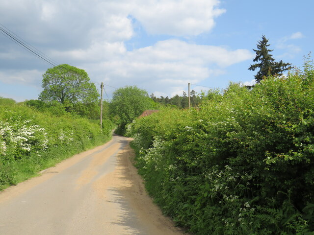
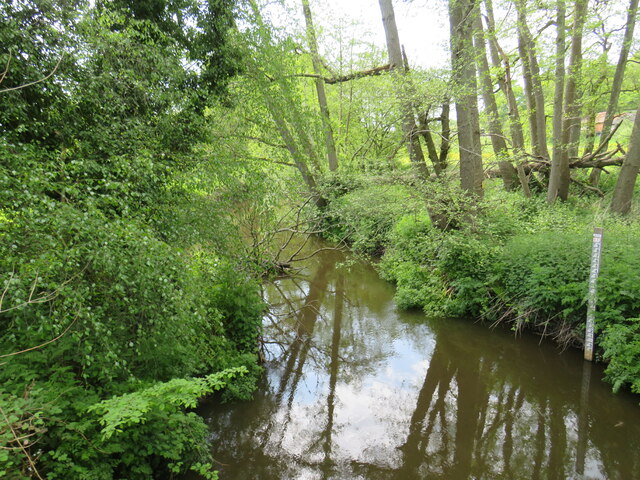
Rising up to an elevation of around 240 meters (787 feet), Abbotts Wood Hill is characterized by its rolling green slopes and dense woodlands. It is part of a larger range of hills known as the South Downs, which stretches across several counties in southern England. The hill is primarily covered with oak and beech trees, creating a vibrant and diverse ecosystem that supports a variety of wildlife.

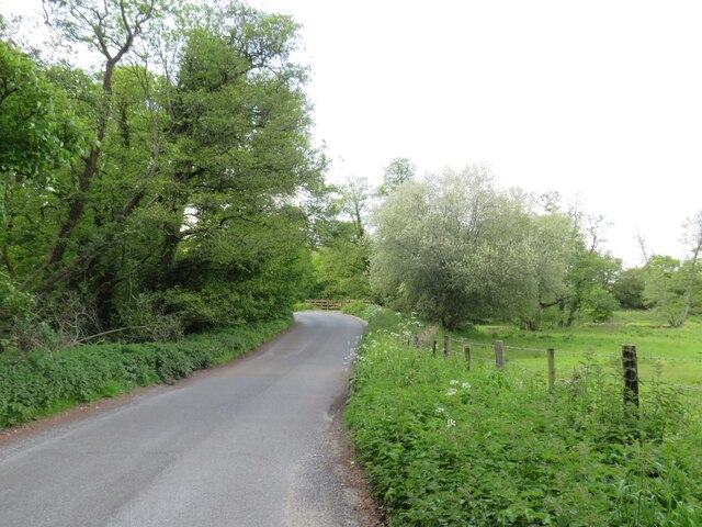
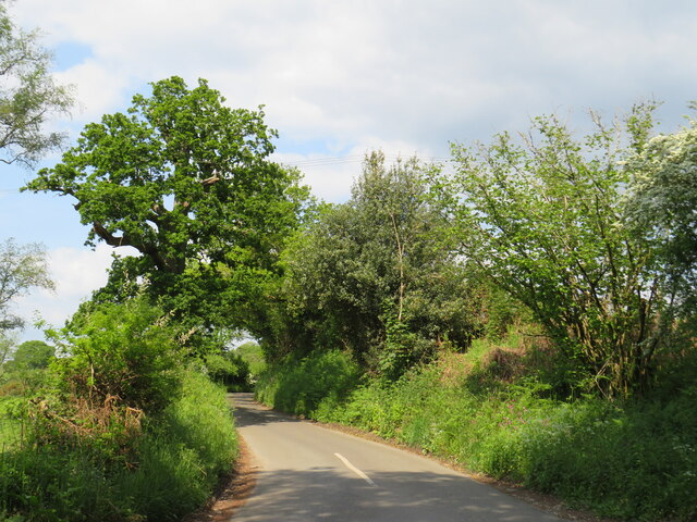
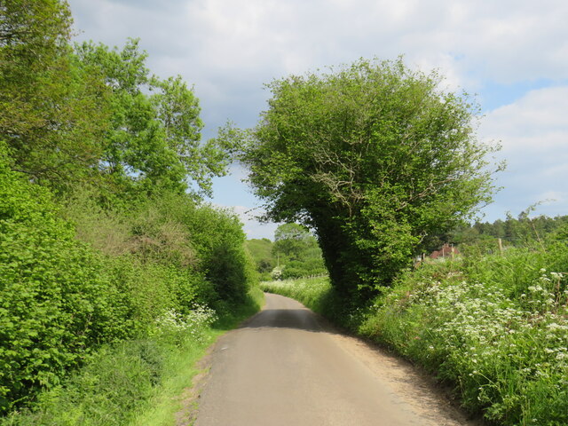
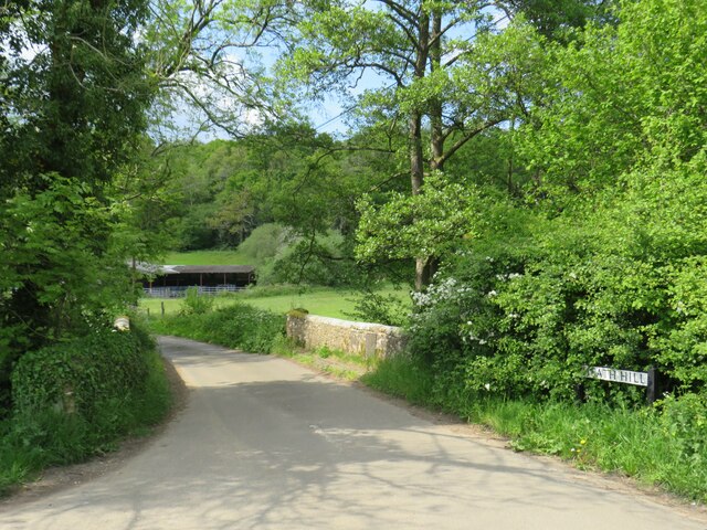
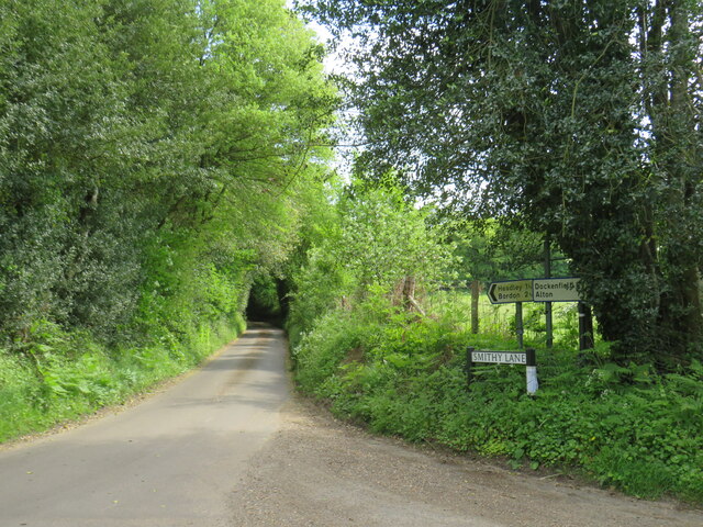
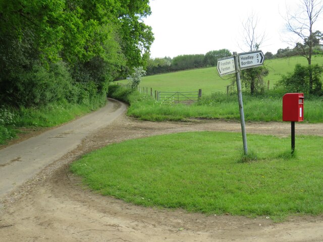
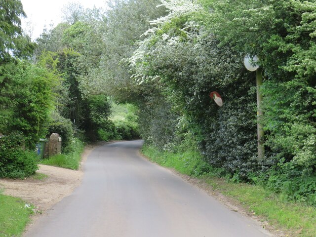
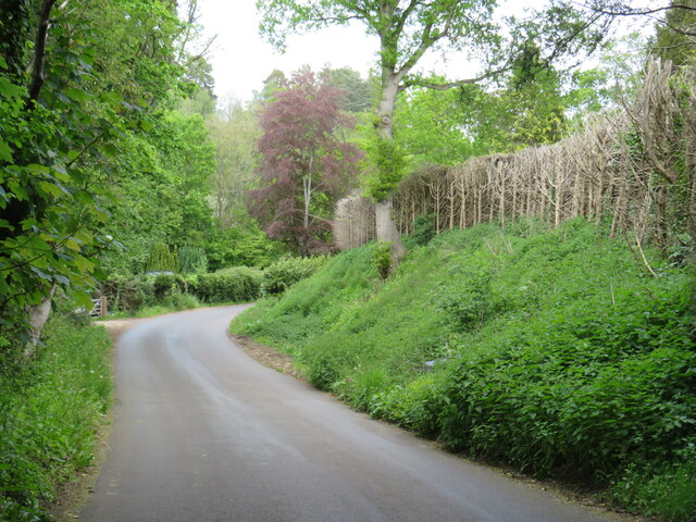
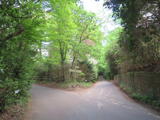
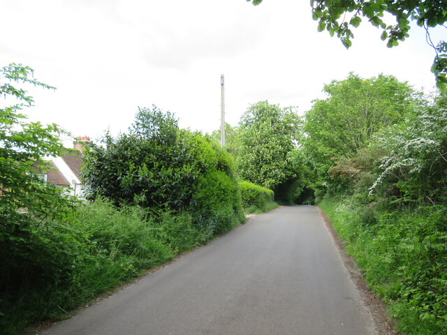
The hill is crisscrossed by a network of footpaths and trails, making it easily accessible for visitors who wish to explore its natural beauty. Hikers can enjoy a leisurely walk along the well-maintained paths, leading them through the ancient woodlands and up to the summit of the hill. From the top, one can admire panoramic views of the surrounding countryside, with its patchwork fields and charming villages.

In addition to its natural beauty, Abbotts Wood Hill also holds historical significance. It is home to several archaeological sites, including ancient burial mounds and remnants of Iron Age settlements. These landmarks provide a glimpse into the area's rich past and add another layer of fascination to the hill's allure.

Overall, Abbotts Wood Hill offers a serene and captivating experience for those seeking a peaceful retreat in the heart of Hampshire's countryside. Its combination of natural splendor and historical significance make it a must-visit destination for nature lovers and history enthusiasts alike.

If you have any feedback on the listing, please let us know in the comments section below.

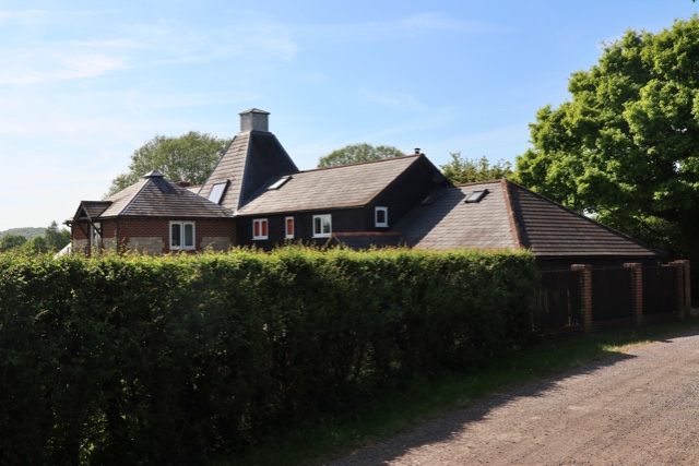
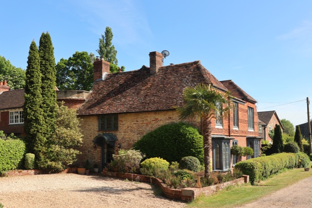
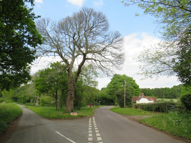
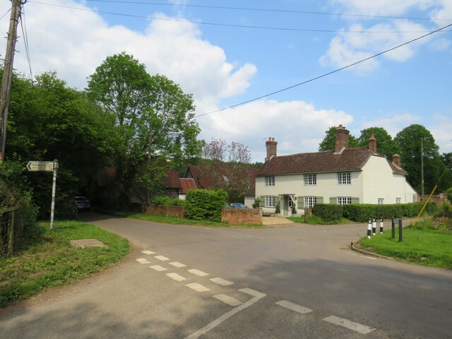
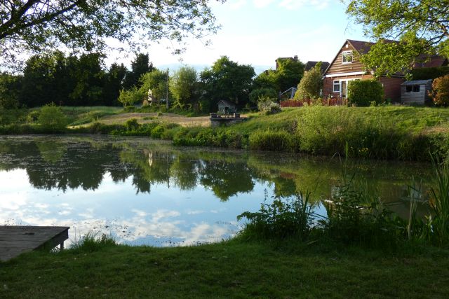
Abbotts Wood Hill Images

Images are sourced within 2km of 51.150609/-0.83030078 or Grid Reference SU8139. Thanks to Geograph Open Source API. All images are credited.

Oast House Single square kiln oast house.

Known as The Hop Kiln.
Oast House
Single square kiln oast house. Known as The Hop Kiln.
Oast House Single round kiln oast house.
Oast House
Single round kiln oast house.
Saunders Green, near Bordon A road junction and a house at Saunders Green in the Hampshire countryside.
Saunders Green, near Bordon
A road junction and a house at Saunders Green in the Hampshire countryside.
House in the countryside near Bordon A house at a crossroads at Saunders Green, in the Hampshire countryside.
House in the countryside near Bordon
A house at a crossroads at Saunders Green, in the Hampshire countryside.
Picketts Hill, near Bordon Picketts Hill is a minor road in the Hampshire countryside.  At the bend ahead, the road rises to cross the River Wey.
Picketts Hill, near Bordon
Picketts Hill is a minor road in the Hampshire countryside. At the bend ahead, the road rises to cross the River Wey.
Smithy Lane, near Bordon Smithy Lane is a minor lane through countryside in Hampshire.
Smithy Lane, near Bordon
Smithy Lane is a minor lane through countryside in Hampshire.
Smithy Lane, near Bordon Smithy Lane is a minor road through countryside in Hampshire.
Smithy Lane, near Bordon
Smithy Lane is a minor road through countryside in Hampshire.
Smithy Lane, near Bordon Smithy Lane is a minor road passing through countryside in Hampshire.
Smithy Lane, near Bordon
Smithy Lane is a minor road passing through countryside in Hampshire.
Smithy Lane, near Bordon Smithy Lane is a minor road through the Hampshire countryside.
Smithy Lane, near Bordon
Smithy Lane is a minor road through the Hampshire countryside.
Bridge over the River Wey, near Bordon A minor road in the Hampshire countryside crossing a bridge over the River Wey.  The river is out of sight in this image, but the bridge parapets are in view.
Bridge over the River Wey, near Bordon
A minor road in the Hampshire countryside crossing a bridge over the River Wey. The river is out of sight in this image, but the bridge parapets are in view.
River Wey near Bordon A view of the River Wey in Hampshire countryside.  The measure to the right of the image indicates the depth of the water.
River Wey near Bordon
A view of the River Wey in Hampshire countryside. The measure to the right of the image indicates the depth of the water.
Frensham Lane, near Bordon Frensham Lane is a minor lane through countryside in Hampshire.  Here, Smithy Lane branches off to the right.
Frensham Lane, near Bordon
Frensham Lane is a minor lane through countryside in Hampshire. Here, Smithy Lane branches off to the right.
Smithfield Lane, near Bordon Smithfield Lane is a minor lane through the Hampshire countryside, close to the border with Surrey.  A small post pox stands at the junction with Frensham Lane.
Smithfield Lane, near Bordon
Smithfield Lane is a minor lane through the Hampshire countryside, close to the border with Surrey. A small post pox stands at the junction with Frensham Lane.
Frensham Lane, near Bordon Frensham Lane is a minor lane through Hampshire countryside, close to the border with Surrey.  Driveways emerge onto the lane from the left.  Visibility for drivers turning onto the lane is quite limited, therefore safety mirrors have been installed to the right to give drivers a clearer view of anything passing when they are turning onto the lane.
Frensham Lane, near Bordon
Frensham Lane is a minor lane through Hampshire countryside, close to the border with Surrey. Driveways emerge onto the lane from the left. Visibility for drivers turning onto the lane is quite limited, therefore safety mirrors have been installed to the right to give drivers a clearer view of anything passing when they are turning onto the lane.
Frensham Lane, near Bordon Frensham Lane is a minor lane through Hampshire countryside, close to the border with Surrey.
Frensham Lane, near Bordon
Frensham Lane is a minor lane through Hampshire countryside, close to the border with Surrey.
Lane junction near Bordon A junction of minor lanes in Hampshire countryside, close to the border with Surrey.  A direction sign stands at the junction.  Over time, sap from overhanging trees has dripped onto the sign, partly obscuring it.
Lane junction near Bordon
A junction of minor lanes in Hampshire countryside, close to the border with Surrey. A direction sign stands at the junction. Over time, sap from overhanging trees has dripped onto the sign, partly obscuring it.
Frensham Lane, near Bordon Frensham Lane is a minor road through countryside in Hampshire, close to the border with Surrey.  Here it passes a farm on the left.
Frensham Lane, near Bordon
Frensham Lane is a minor road through countryside in Hampshire, close to the border with Surrey. Here it passes a farm on the left.
Pond and house, Binsted
Show me another place!

Abbotts Wood Hill is located at Grid Ref: SU8139 (Lat: 51.150609, Lng: -0.83030078)

Administrative County: Surrey

District: Waverley

Police Authority: Surrey

What 3 Words

///goodbyes.hotspot.lions. Near Churt, Surrey

Related Wikis

Dockenfield

Dockenfield is a village and civil parish in the borough of Waverley in Surrey, England. The parish is undulating, has a number of sources of the River...

Pierrepont School, Frensham

Pierrepont School, Frensham, originally known as Pierrepont House School, was a private school in Surrey, England, with day pupils as well as boarders...

Alice Holt Forest

Alice Holt Forest is a royal forest in Hampshire, situated some 4 miles (6.4 km) south of Farnham, Surrey. Once predominantly an ancient oak forest, it...

Bucks Horn Oak

Bucks Horn Oak is a small village in the East Hampshire district of Hampshire, England and is the main community within Alice Holt Forest. A small eastern...

Frensham

Frensham is a village in Surrey, England, next to the A287 road, 13 miles (20.9 km) WSW of Guildford, the county town. Frensham lies on the right bank...

Sleaford, Hampshire

Sleaford in Hampshire, England is a hamlet of Headley Civil Parish and the Northanger Ecclesiastical Benefice. It is in the civil parish of Whitehill...

Broxhead and Kingsley Commons

Broxhead and Kingsley Commons is a 105.1-hectare (260-acre) biological Site of Special Scientific Interest north of Lindford in Hampshire. It is part of...

Blacknest

Blacknest is a village and civil parish in Hampshire, England. It is in the civil parish of Binsted. The village has a golf course (the Blacknest Golf...

Nearby Amenities

Located within 500m of 51.150609,-0.83030078
Give Way
Lat/Long: 51.1508232/-0.8330115
Barrier: stile
Lat/Long: 51.1498236/-0.8264533
Barrier: kissing_gate
Lat/Long: 51.1518369/-0.8255805
Barrier: kissing_gate
Lat/Long: 51.1527482/-0.8301132
Barrier: kissing_gate
Lat/Long: 51.149884/-0.8297369
Barrier: kissing_gate
Lat/Long: 51.153749/-0.831475
Four Winds
Addr City: Farnham
Addr Housename: Four Winds
Addr Place: Dockenfield
Addr Street: High Thicket Road
Building: house
Source: OS_OpenData_StreetView
Lat/Long: 51.1528229/-0.8316032
Temple Hill
Addr City: Farnham
Addr Housename: Temple Hill
Addr Place: Dockenfield
Addr Street: High Thicket Road
Building: house
Source: OS_OpenData_StreetView
Lat/Long: 51.1527487/-0.8307231
Penns Grove
Addr City: Farnham
Addr Housename: Penns Grove
Addr Place: Dockenfield
Addr Street: High Thicket Road
Building: house
Source: OS_OpenData_StreetView
Lat/Long: 51.1519208/-0.8319385
Holt Farm
Landuse: farm
Note Retag: CS #48756035
Source: OS_OpenData_StreetView
Lat/Long: 51.1491013/-0.8325259
Barrier: stile
Lat/Long: 51.1508646/-0.8260258
Barrier: stile
Bicycle: no
Foot: designated
Horse: no
Motor Vehicle: no
Lat/Long: 51.1491622/-0.8292353
The data included in this document is from www.openstreetmap.org. The data is made available under ODbL.

Have you been to Abbotts Wood Hill?

Leave your review of Abbotts Wood Hill below (or comments, questions and feedback).