Frithend

Settlement in Hampshire East Hampshire

England

Frithend

Pasture, Binsted
Pasture, Binsted Credit: Andrew Smith

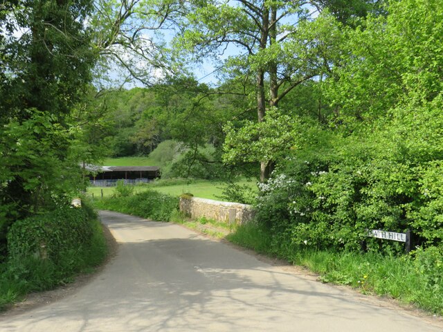
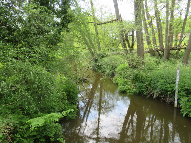
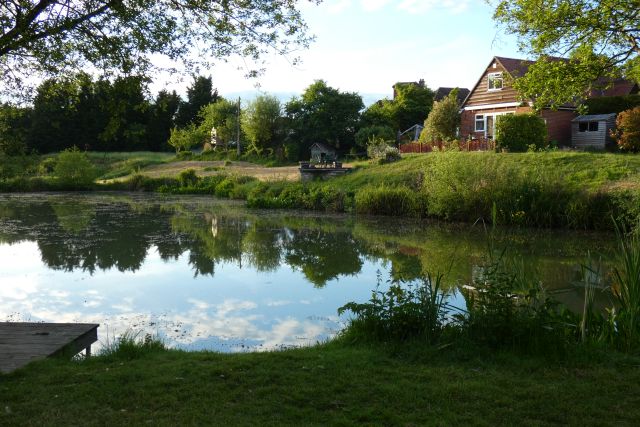
Frithend is a picturesque village located in the county of Hampshire, England. Situated in the heart of the South Downs National Park, it offers stunning views of rolling hills, meandering streams, and lush green fields. With a population of around 500 residents, Frithend exudes a peaceful and close-knit community atmosphere.

The village is renowned for its rich history, dating back to the Anglo-Saxon period. It is believed that Frithend was originally settled by the Saxons, with evidence of their presence still visible in the form of ancient burial mounds and artifacts found in the area.

Frithend is home to a charming village center, complete with a picturesque church, quaint cottages, and a traditional pub. The pub, known as The Frithend Arms, is a popular gathering spot for locals and visitors alike, offering a warm and welcoming atmosphere along with a selection of delicious food and drinks.

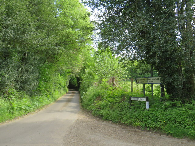
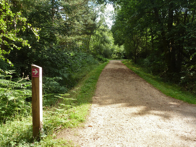
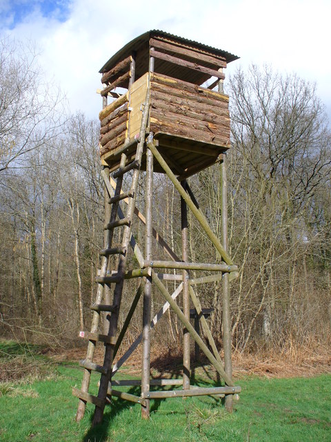
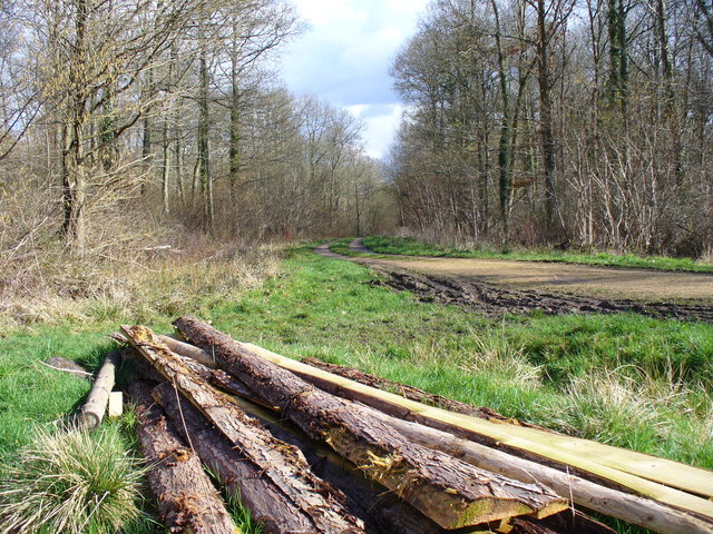
For nature enthusiasts, Frithend provides ample opportunities for outdoor activities. The village is surrounded by an extensive network of footpaths and bridleways, making it an ideal destination for walkers, hikers, and cyclists. Additionally, the nearby Frithend Woodland offers a peaceful retreat for those looking to immerse themselves in nature.

Frithend's location within the South Downs National Park also means that it is within easy reach of a variety of attractions and amenities. The bustling market town of Winchester is only a short drive away, offering a range of shops, restaurants, and historical sites to explore.

In summary, Frithend is a charming village nestled in the scenic Hampshire countryside. With its rich history, stunning natural beauty, and warm community spirit, it is a place that truly captures the essence of rural England.

If you have any feedback on the listing, please let us know in the comments section below.
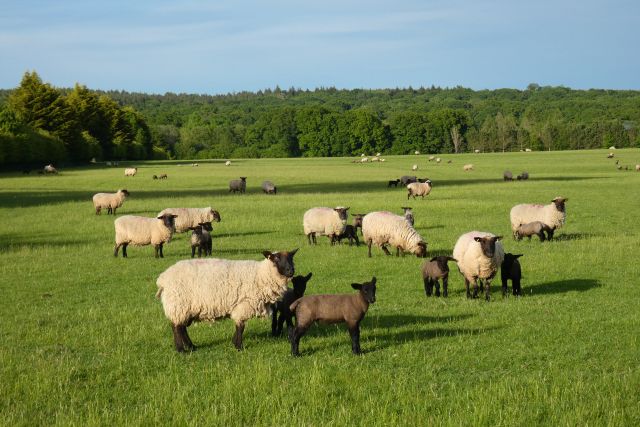
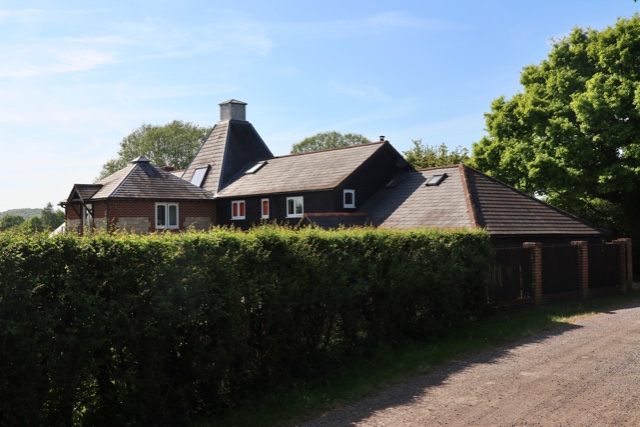
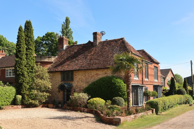
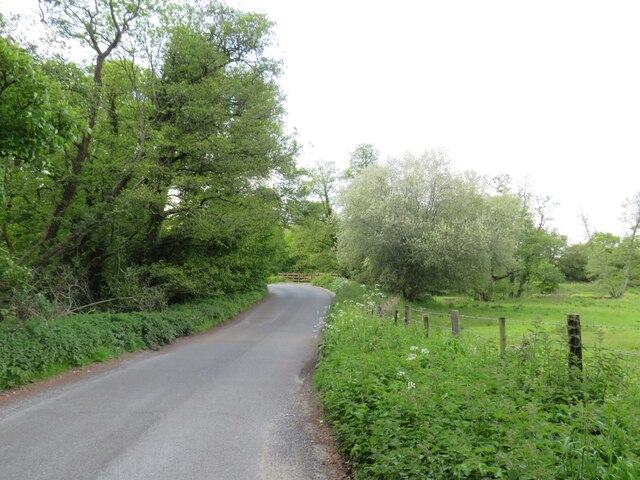
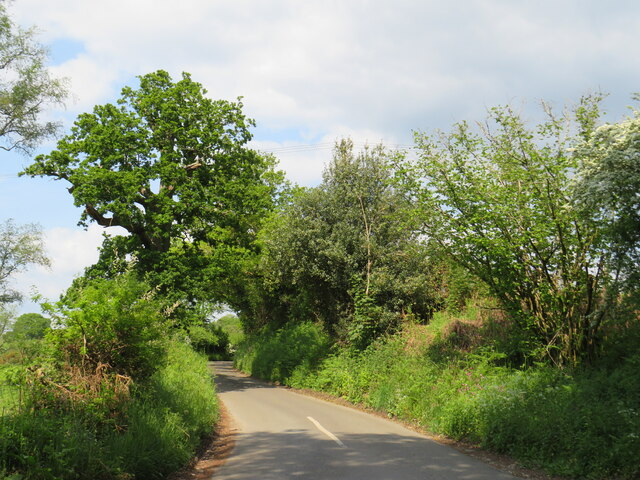
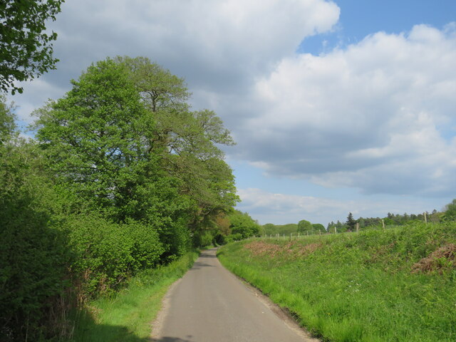
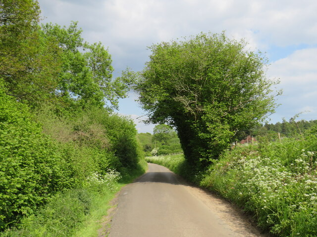
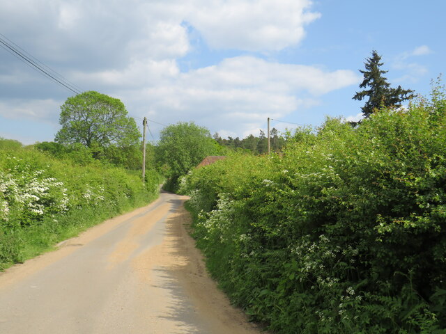
Frithend Images

Images are sourced within 2km of 51.148793/-0.842623 or Grid Reference SU8139. Thanks to Geograph Open Source API. All images are credited.

Pasture, Binsted
Pasture, Binsted
Oast House Single square kiln oast house.

Known as The Hop Kiln.
Oast House
Single square kiln oast house. Known as The Hop Kiln.
Oast House Single round kiln oast house.
Oast House
Single round kiln oast house.
Oast House Twin square kiln oast house.
Oast House
Twin square kiln oast house.
Hedgerow on Farmland Looking along the line of a hedgerow between Old Park Farm and Malthouse Farm in Kingsley Hampshire.
Hedgerow on Farmland
Looking along the line of a hedgerow between Old Park Farm and Malthouse Farm in Kingsley Hampshire.
Picketts Hill, near Bordon Picketts Hill is a minor road in the Hampshire countryside.  At the bend ahead, the road rises to cross the River Wey.
Picketts Hill, near Bordon
Picketts Hill is a minor road in the Hampshire countryside. At the bend ahead, the road rises to cross the River Wey.
Smithy Lane, near Bordon Smithy Lane is a minor lane through countryside in Hampshire.
Smithy Lane, near Bordon
Smithy Lane is a minor lane through countryside in Hampshire.
Smithy Lane, near Bordon Smithy Lane is a minor road through countryside in Hampshire.
Smithy Lane, near Bordon
Smithy Lane is a minor road through countryside in Hampshire.
Smithy Lane, near Bordon Smithy Lane is a minor road passing through countryside in Hampshire.
Smithy Lane, near Bordon
Smithy Lane is a minor road passing through countryside in Hampshire.
Smithy Lane, near Bordon Smithy Lane is a minor road through the Hampshire countryside.
Smithy Lane, near Bordon
Smithy Lane is a minor road through the Hampshire countryside.
Bridge over the River Wey, near Bordon A minor road in the Hampshire countryside crossing a bridge over the River Wey.  The river is out of sight in this image, but the bridge parapets are in view.
Bridge over the River Wey, near Bordon
A minor road in the Hampshire countryside crossing a bridge over the River Wey. The river is out of sight in this image, but the bridge parapets are in view.
River Wey near Bordon A view of the River Wey in Hampshire countryside.  The measure to the right of the image indicates the depth of the water.
River Wey near Bordon
A view of the River Wey in Hampshire countryside. The measure to the right of the image indicates the depth of the water.
Frensham Lane, near Bordon Frensham Lane is a minor lane through countryside in Hampshire.  Here, Smithy Lane branches off to the right.
Frensham Lane, near Bordon
Frensham Lane is a minor lane through countryside in Hampshire. Here, Smithy Lane branches off to the right.
Pond and house, Binsted
Footpath Binstead 51/3 in Alice Holt Forest Towards Dockenfield Street. The red arrow signs a circular route within the Forestry Commission woodland.
Footpath Binstead 51/3 in Alice Holt Forest
Towards Dockenfield Street. The red arrow signs a circular route within the Forestry Commission woodland.
Forester's Tower, Straits Inclosure This new wooden tower is at a track crossroads, surrounded by deciduous trees, and is about 20 feet high.
Forester's Tower, Straits Inclosure
This new wooden tower is at a track crossroads, surrounded by deciduous trees, and is about 20 feet high.
Footpath, Straits Inclosure Planks line the sandy footpath beside the forester's tower crossways.
Footpath, Straits Inclosure
Planks line the sandy footpath beside the forester's tower crossways.
Catkins, Straits Inclosure These spiky spring flowers are usually found on birch and hazel.
Catkins, Straits Inclosure
These spiky spring flowers are usually found on birch and hazel.
Show me another place!

Frithend is located at Grid Ref: SU8139 (Lat: 51.148793, Lng: -0.842623)

Administrative County: Hampshire

District: East Hampshire

Police Authority: Hampshire

What 3 Words

///rapid.utensil.shunted. Near Bordon, Hampshire

Related Wikis

Sleaford, Hampshire

Sleaford in Hampshire, England is a hamlet of Headley Civil Parish and the Northanger Ecclesiastical Benefice. It is in the civil parish of Whitehill...

Broxhead and Kingsley Commons

Broxhead and Kingsley Commons is a 105.1-hectare (260-acre) biological Site of Special Scientific Interest north of Lindford in Hampshire. It is part of...

Alice Holt Forest

Alice Holt Forest is a royal forest in Hampshire, situated some 4 miles (6.4 km) south of Farnham, Surrey. Once predominantly an ancient oak forest, it...

Bucks Horn Oak

Bucks Horn Oak is a small village in the East Hampshire district of Hampshire, England and is the main community within Alice Holt Forest. A small eastern...

Dockenfield

Dockenfield is a village and civil parish in the borough of Waverley in Surrey, England. The parish is undulating, has a number of sources of the River...

Kingsley Common

Kingsley Common is a 41-hectare (100-acre) protected area in Kingsley, Hampshire, England. The site holds many rare species of animals and birds. Some...

Kingsley Halt railway station

Kingsley Halt was a railway station on the Bordon Light Railway which served the village of Kingsley, Hampshire, England. The station had been constructed...

Blacknest

Blacknest is a village and civil parish in Hampshire, England. It is in the civil parish of Binsted. The village has a golf course (the Blacknest Golf...

Nearby Amenities

Located within 500m of 51.148793,-0.842623
Bus Stop
Frith End
Bus: yes
Naptan AtcoCode: 1900HA020428
Naptan Bearing: S
Naptan CommonName: Frith End
Naptan Crossing: Frith End Road
Naptan NaptanCode: hamgtpja
Naptan Street: A325
Naptan Verified: no
Public Transport: platform
Source: naptan_import
Lat/Long: 51.1523199/-0.846175
Barrier: stile
Lat/Long: 51.1488868/-0.8386187
Barrier: stile
Lat/Long: 51.149035/-0.8384336
Barrier: stile
Foot: designated
Lat/Long: 51.149877/-0.8378467
Frith End
Alt Name: Frithend
Place: village
Lat/Long: 51.1519158/-0.8461377
Frith End Farm
Place: farm
Lat/Long: 51.1518431/-0.8475962
Goose Green Farm
Place: farm
Lat/Long: 51.1527031/-0.8445862
Mowlands Farm
Landuse: farm
Note Retag: CS #48756035
Source: OS_OpenData_StreetView
Lat/Long: 51.1494714/-0.8445743
Grooms Farm
Landuse: farm
Note Retag: CS #48756035
Source: OS_OpenData_StreetView
Lat/Long: 51.1463015/-0.8438019
Give Way
Source: EsriWorldImagery
Lat/Long: 51.1520223/-0.8463893
Give Way
Source: Bing
Lat/Long: 51.1516285/-0.8463665
The data included in this document is from www.openstreetmap.org. The data is made available under ODbL.

Have you been to Frithend?

Leave your review of Frithend below (or comments, questions and feedback).