Kites Copse

Wood, Forest in Hampshire East Hampshire

England

Kites Copse

Oast House Single square kiln oast house.

Known as The Hop Kiln.
Oast House Credit: Oast House Archive

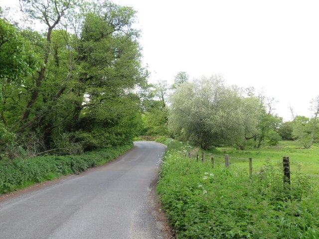
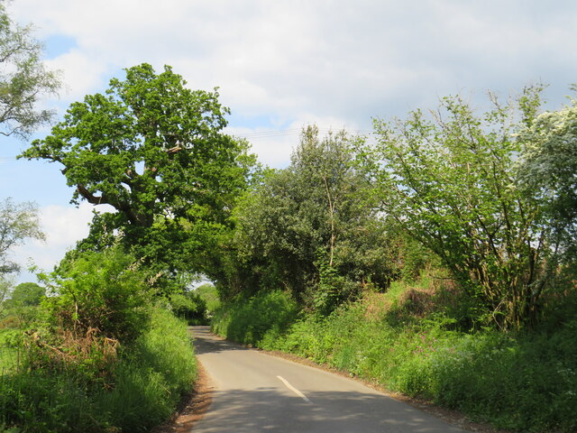
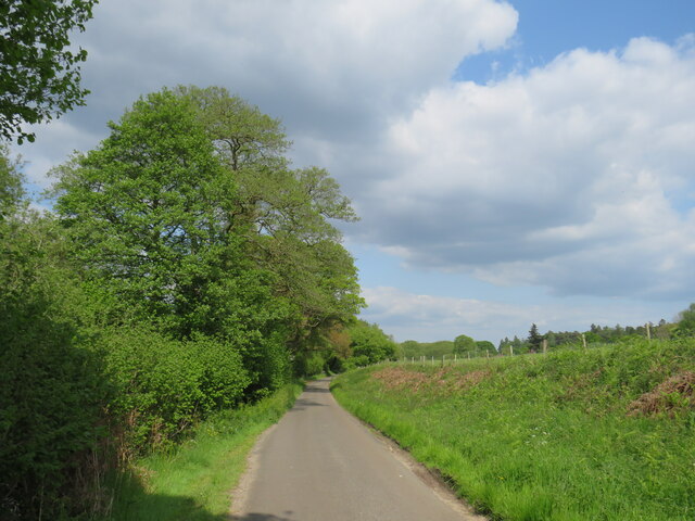
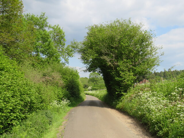
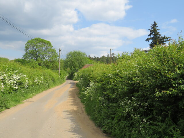
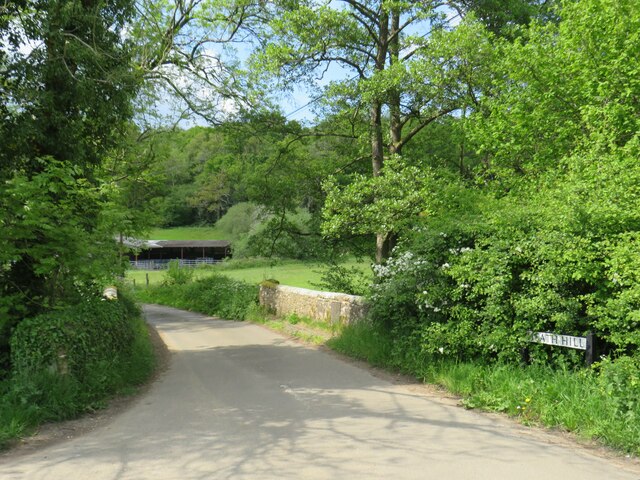
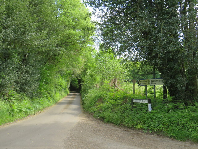
Kites Copse is a picturesque woodland located in Hampshire, England. Situated near the village of Kites Hill, it covers an area of approximately 50 acres. The copse is renowned for its natural beauty and is a popular destination for nature lovers, hikers, and bird enthusiasts.

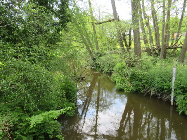
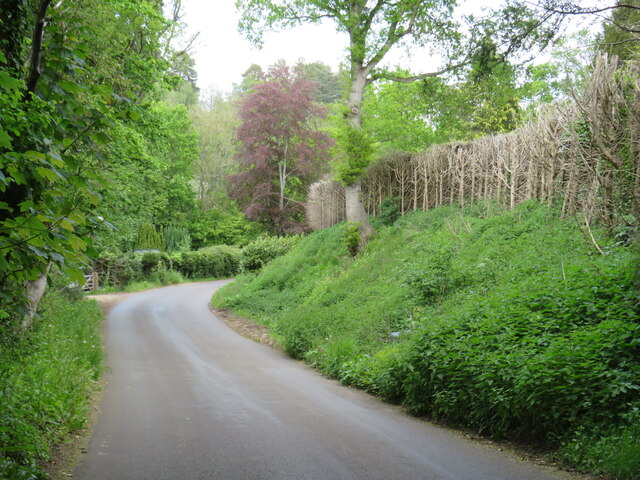
The woodland is primarily composed of native tree species, including oak, beech, and ash, which create a dense canopy overhead. This canopy not only provides shade and shelter for various wildlife species but also adds to the tranquility of the surroundings. The forest floor is covered in a rich carpet of ferns, bluebells, and wildflowers, creating a vibrant and colorful atmosphere, especially during the spring and summer months.

Kites Copse is home to a diverse range of wildlife, including several species of birds such as woodpeckers, owls, and various songbirds. It is also a habitat for small mammals like foxes, rabbits, and squirrels, which can often be spotted darting through the undergrowth.

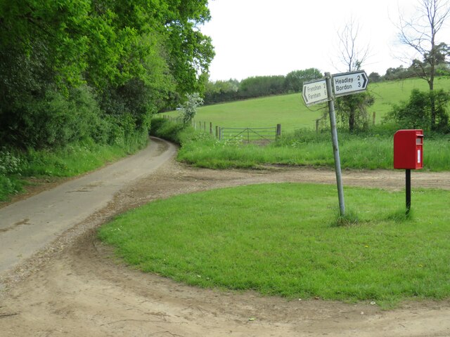
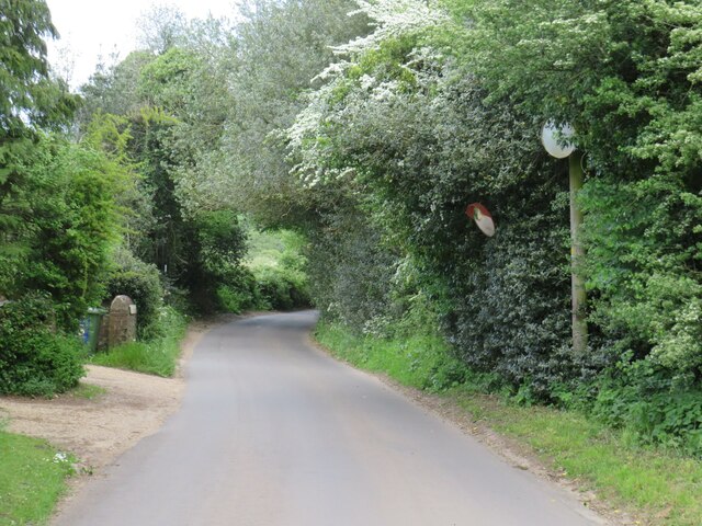
The copse offers a network of well-maintained footpaths and trails, allowing visitors to explore its natural wonders. There are also designated picnic areas and benches where visitors can relax and enjoy the peaceful surroundings. The copse is open to the public year-round, and admission is free.

Kites Copse is not only a haven for nature enthusiasts but also serves as an important ecosystem, providing valuable habitats for a wide range of flora and fauna. Its serene ambiance and diverse wildlife make it a truly enchanting destination for those seeking a connection with nature.

If you have any feedback on the listing, please let us know in the comments section below.
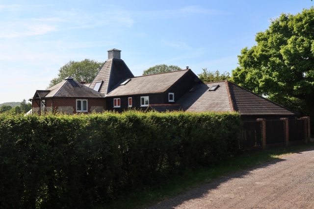
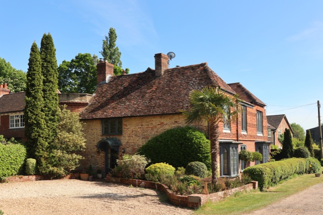
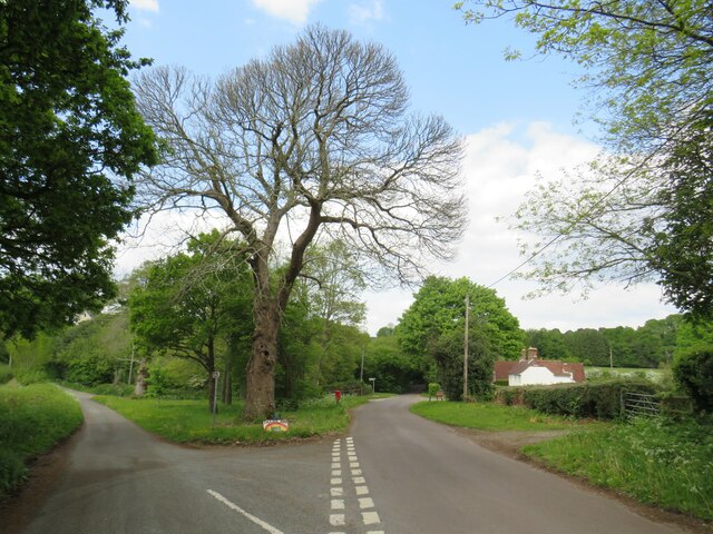
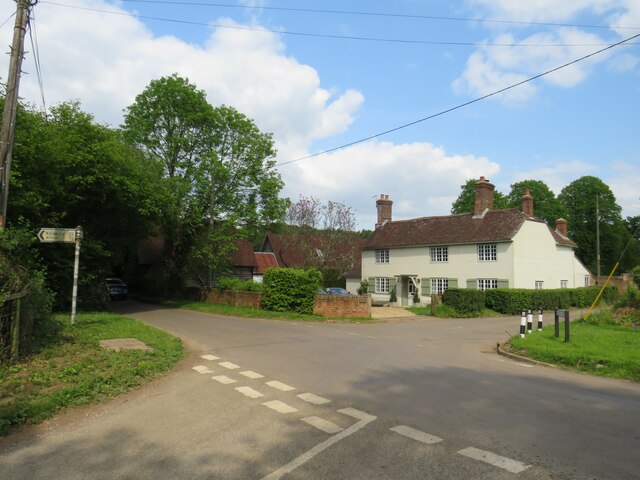
Kites Copse Images

Images are sourced within 2km of 51.147579/-0.83752577 or Grid Reference SU8139. Thanks to Geograph Open Source API. All images are credited.

Oast House Single square kiln oast house.

Known as The Hop Kiln.
Oast House
Single square kiln oast house. Known as The Hop Kiln.
Oast House Single round kiln oast house.
Oast House
Single round kiln oast house.
Oast House Twin square kiln oast house.
Oast House
Twin square kiln oast house.
Sheep Field A sheep field near Broxhead Common north of Bordon in Hampshire.
Sheep Field
A sheep field near Broxhead Common north of Bordon in Hampshire.
Hedgerow on Farmland Looking along the line of a hedgerow between Old Park Farm and Malthouse Farm in Kingsley Hampshire.
Hedgerow on Farmland
Looking along the line of a hedgerow between Old Park Farm and Malthouse Farm in Kingsley Hampshire.
Saunders Green, near Bordon A road junction and a house at Saunders Green in the Hampshire countryside.
Saunders Green, near Bordon
A road junction and a house at Saunders Green in the Hampshire countryside.
House in the countryside near Bordon A house at a crossroads at Saunders Green, in the Hampshire countryside.
House in the countryside near Bordon
A house at a crossroads at Saunders Green, in the Hampshire countryside.
Picketts Hill, near Bordon Picketts Hill is a minor road in the Hampshire countryside.  At the bend ahead, the road rises to cross the River Wey.
Picketts Hill, near Bordon
Picketts Hill is a minor road in the Hampshire countryside. At the bend ahead, the road rises to cross the River Wey.
Smithy Lane, near Bordon Smithy Lane is a minor lane through countryside in Hampshire.
Smithy Lane, near Bordon
Smithy Lane is a minor lane through countryside in Hampshire.
Smithy Lane, near Bordon Smithy Lane is a minor road through countryside in Hampshire.
Smithy Lane, near Bordon
Smithy Lane is a minor road through countryside in Hampshire.
Smithy Lane, near Bordon Smithy Lane is a minor road passing through countryside in Hampshire.
Smithy Lane, near Bordon
Smithy Lane is a minor road passing through countryside in Hampshire.
Smithy Lane, near Bordon Smithy Lane is a minor road through the Hampshire countryside.
Smithy Lane, near Bordon
Smithy Lane is a minor road through the Hampshire countryside.
Bridge over the River Wey, near Bordon A minor road in the Hampshire countryside crossing a bridge over the River Wey.  The river is out of sight in this image, but the bridge parapets are in view.
Bridge over the River Wey, near Bordon
A minor road in the Hampshire countryside crossing a bridge over the River Wey. The river is out of sight in this image, but the bridge parapets are in view.
River Wey near Bordon A view of the River Wey in Hampshire countryside.  The measure to the right of the image indicates the depth of the water.
River Wey near Bordon
A view of the River Wey in Hampshire countryside. The measure to the right of the image indicates the depth of the water.
Frensham Lane, near Bordon Frensham Lane is a minor lane through countryside in Hampshire.  Here, Smithy Lane branches off to the right.
Frensham Lane, near Bordon
Frensham Lane is a minor lane through countryside in Hampshire. Here, Smithy Lane branches off to the right.
Smithfield Lane, near Bordon Smithfield Lane is a minor lane through the Hampshire countryside, close to the border with Surrey.  A small post pox stands at the junction with Frensham Lane.
Smithfield Lane, near Bordon
Smithfield Lane is a minor lane through the Hampshire countryside, close to the border with Surrey. A small post pox stands at the junction with Frensham Lane.
Frensham Lane, near Bordon Frensham Lane is a minor lane through Hampshire countryside, close to the border with Surrey.  Driveways emerge onto the lane from the left.  Visibility for drivers turning onto the lane is quite limited, therefore safety mirrors have been installed to the right to give drivers a clearer view of anything passing when they are turning onto the lane.
Frensham Lane, near Bordon
Frensham Lane is a minor lane through Hampshire countryside, close to the border with Surrey. Driveways emerge onto the lane from the left. Visibility for drivers turning onto the lane is quite limited, therefore safety mirrors have been installed to the right to give drivers a clearer view of anything passing when they are turning onto the lane.
Frensham Lane, near Bordon Frensham Lane is a minor lane through Hampshire countryside, close to the border with Surrey.
Frensham Lane, near Bordon
Frensham Lane is a minor lane through Hampshire countryside, close to the border with Surrey.
Show me another place!

Kites Copse is located at Grid Ref: SU8139 (Lat: 51.147579, Lng: -0.83752577)

Administrative County: Hampshire

District: East Hampshire

Police Authority: Hampshire

What 3 Words

///takeovers.amending.albatross. Near Bordon, Hampshire

Related Wikis

Sleaford, Hampshire

Sleaford in Hampshire, England is a hamlet of Headley Civil Parish and the Northanger Ecclesiastical Benefice. It is in the civil parish of Whitehill...

Dockenfield

Dockenfield is a village and civil parish in the borough of Waverley in Surrey, England. The parish is undulating, has a number of sources of the River...

Broxhead and Kingsley Commons

Broxhead and Kingsley Commons is a 105.1-hectare (260-acre) biological Site of Special Scientific Interest north of Lindford in Hampshire. It is part of...

Alice Holt Forest

Alice Holt Forest is a royal forest in Hampshire, situated some 4 miles (6.4 km) south of Farnham, Surrey. Once predominantly an ancient oak forest, it...

Bucks Horn Oak

Bucks Horn Oak is a small village in the East Hampshire district of Hampshire, England and is the main community within Alice Holt Forest. A small eastern...

Kingsley Common

Kingsley Common is a 41-hectare (100-acre) protected area in Kingsley, Hampshire, England. The site holds many rare species of animals and birds. Some...

Kingsley Halt railway station

Kingsley Halt was a railway station on the Bordon Light Railway which served the village of Kingsley, Hampshire, England. The station had been constructed...

Pierrepont School, Frensham

Pierrepont School, Frensham, originally known as Pierrepont House School, was a private school in Surrey, England, with day pupils as well as boarders...

Nearby Amenities

Located within 500m of 51.147579,-0.83752577
Give Way
Lat/Long: 51.1508232/-0.8330115
Barrier: stile
Lat/Long: 51.1446575/-0.8334992
Barrier: stile
Lat/Long: 51.1446417/-0.8332787
Barrier: stile
Lat/Long: 51.1488868/-0.8386187
Barrier: stile
Lat/Long: 51.149035/-0.8384336
Barrier: stile
Foot: designated
Lat/Long: 51.149877/-0.8378467
Ford: yes
Lat/Long: 51.1440074/-0.8334501
Grooms Farm
Landuse: farm
Note Retag: CS #48756035
Source: OS_OpenData_StreetView
Lat/Long: 51.1463015/-0.8438019
Holt Farm
Landuse: farm
Note Retag: CS #48756035
Source: OS_OpenData_StreetView
Lat/Long: 51.1491013/-0.8325259
The data included in this document is from www.openstreetmap.org. The data is made available under ODbL.

Have you been to Kites Copse?

Leave your review of Kites Copse below (or comments, questions and feedback).