Swine Stye Hill
Hill, Mountain in Yorkshire Ryedale
England
Swine Stye Hill
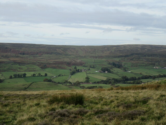
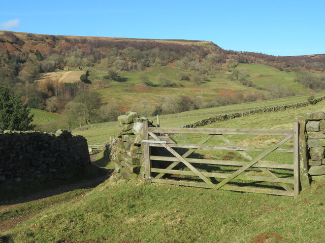
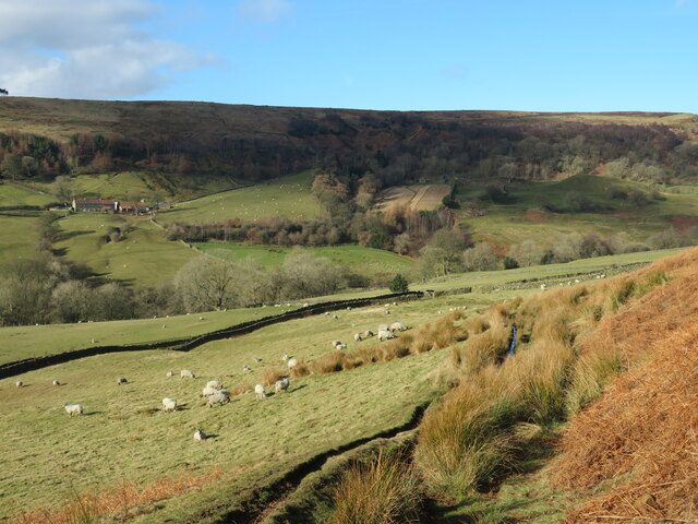
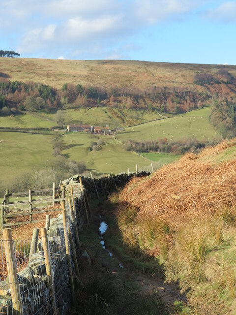
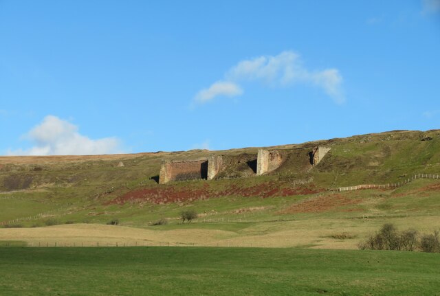
Swine Stye Hill is a prominent hill located in the county of Yorkshire, England. Situated in the North York Moors National Park, it forms part of the stunning landscape that has made the region a popular destination for outdoor enthusiasts and nature lovers.
Standing at an elevation of approximately 370 meters (1,214 feet), Swine Stye Hill offers breathtaking views of the surrounding countryside. Its distinct shape and rocky outcrops make it easily recognizable and add to its allure. The hill is covered in heather and grasses, creating a vibrant tapestry of colors that change with the seasons.
The area surrounding Swine Stye Hill is home to a variety of wildlife, including birds of prey, grouse, and several species of small mammals. This has made it a popular spot for birdwatching and wildlife photography. Hikers and walkers are also drawn to the hill, as it offers a number of trails and footpaths that allow visitors to explore the area and take in the panoramic vistas.
Swine Stye Hill is easily accessible from nearby villages and towns, with parking facilities available for those arriving by car. The hill provides an excellent opportunity for a day out in nature, whether for a leisurely stroll or a more challenging hike. Its natural beauty, coupled with its rich history and cultural significance, make Swine Stye Hill a must-visit destination for anyone exploring the Yorkshire region.
If you have any feedback on the listing, please let us know in the comments section below.
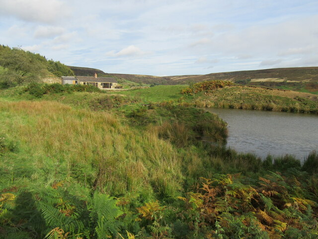
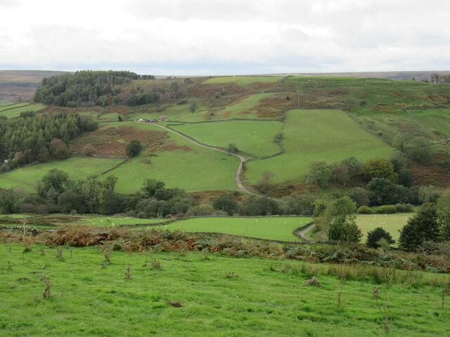
Swine Stye Hill Images
Images are sourced within 2km of 54.369958/-0.90994651 or Grid Reference SE7097. Thanks to Geograph Open Source API. All images are credited.
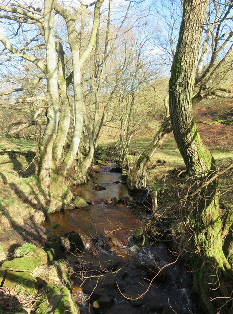
![Bridge over Northdale Beck The bridge is at a junction of paths with a bridleway [number 25.130/50] crossing the beck.](https://s0.geograph.org.uk/geophotos/07/09/19/7091972_03dfa987.jpg)
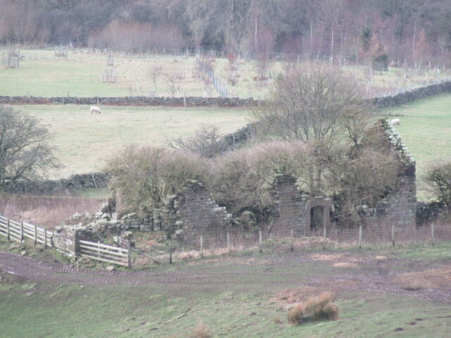
![Florence Terrace, Rosedale East Originally built to house workers in the iron mining industry, the terrace dates from the 1860's just as a mining boom began in the dale. The terrace is less than half its original length, and if each of these is divided into two [hard to be sure], then there are 8 cottages left, whereas the old 25" OS maps would suggest 34 cottages with an area of allotment gardens at the rear. The parish of Rosedale East had 371 inhabitants in 1851, but 20 years later this had grown to 2041. The census of 2011 revealed that the population now is below that of 1851.](https://s0.geograph.org.uk/geophotos/07/09/22/7092288_4eb0f974.jpg)
Swine Stye Hill is located at Grid Ref: SE7097 (Lat: 54.369958, Lng: -0.90994651)
Division: North Riding
Administrative County: North Yorkshire
District: Ryedale
Police Authority: North Yorkshire
What 3 Words
///duties.rocket.arrival. Near Danby, North Yorkshire
Nearby Locations
Related Wikis

Ironstone mining in Rosedale
The Ironstone mining in Rosedale, was a major mining concern, in Rosedale, North Yorkshire, England. It flourished in the 19th century and ceased in the...

Rosedale Priory
Rosedale Priory was a priory in Rosedale Abbey, North Yorkshire, England that was founded c. 1150–1199. By the time the priory was suppressed in 1535,...

Rosedale, North Yorkshire
Rosedale is a valley located almost in the centre of the North York Moors national park in North Yorkshire, England. The nearest town is Kirkbymoorside...

Rosedale Abbey
Rosedale Abbey is a village in the Ryedale district of North Yorkshire, England. It is approximately 8 miles (13 km) north-west of Pickering, 8 miles south...
Nearby Amenities
Located within 500m of 54.369958,-0.90994651Have you been to Swine Stye Hill?
Leave your review of Swine Stye Hill below (or comments, questions and feedback).