Black Hill

Hill, Mountain in Yorkshire Ryedale

England

Black Hill

Car park at Hutton-le-Hole On the edge of the village this is a busy car park, with most of it behind the camera. There is a very interesting folk museum a short distanace away and most people in the car park were going to this open air museum.
Car park at Hutton-le-Hole Credit: Malcolm Neal

Black Hill is a prominent hill located in the county of Yorkshire, England. Situated in the Pennine Hills, it forms part of the South Pennines and lies within the Peak District National Park. The hill stands at an elevation of 582 meters (1,909 feet) above sea level, making it one of the highest points in the region.

Known for its distinctive dark peat-covered summit, Black Hill offers spectacular panoramic views of the surrounding countryside. The hill is composed mainly of millstone grit, a coarse sandstone that gives it a rugged and rocky appearance. Its steep slopes are crisscrossed by various footpaths, making it a popular destination for hikers and outdoor enthusiasts.

The hill is home to a diverse range of flora and fauna, including heather, bilberry, and cotton grass. It is also a designated site of Special Scientific Interest due to its importance as a habitat for upland birds such as grouse and curlew.

Black Hill has a rich historical significance, with evidence of human activity dating back thousands of years. Remains of Bronze Age settlements and ancient burial sites have been discovered in the vicinity. The hill was also a site of peat cutting during the 19th and early 20th centuries, providing fuel for local communities.

Today, Black Hill continues to attract visitors who come to enjoy its natural beauty, challenging hikes, and the opportunity to immerse themselves in Yorkshire's stunning landscape.

If you have any feedback on the listing, please let us know in the comments section below.
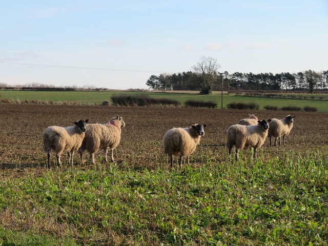
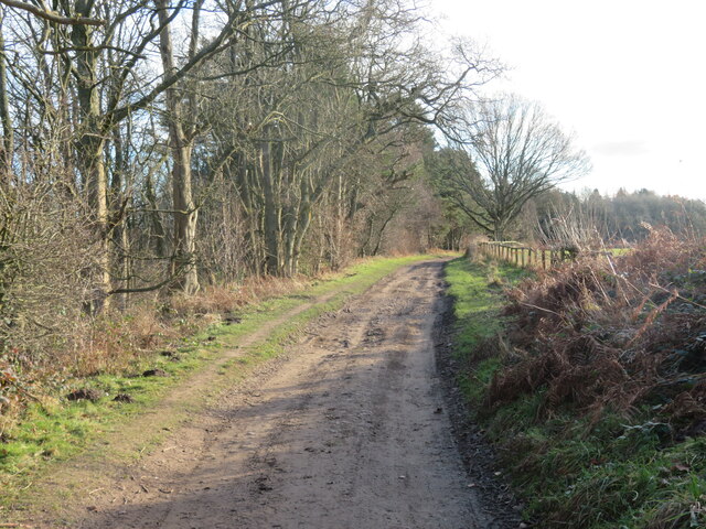
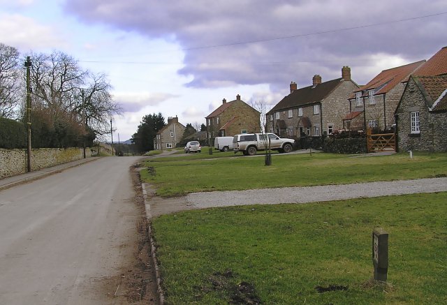
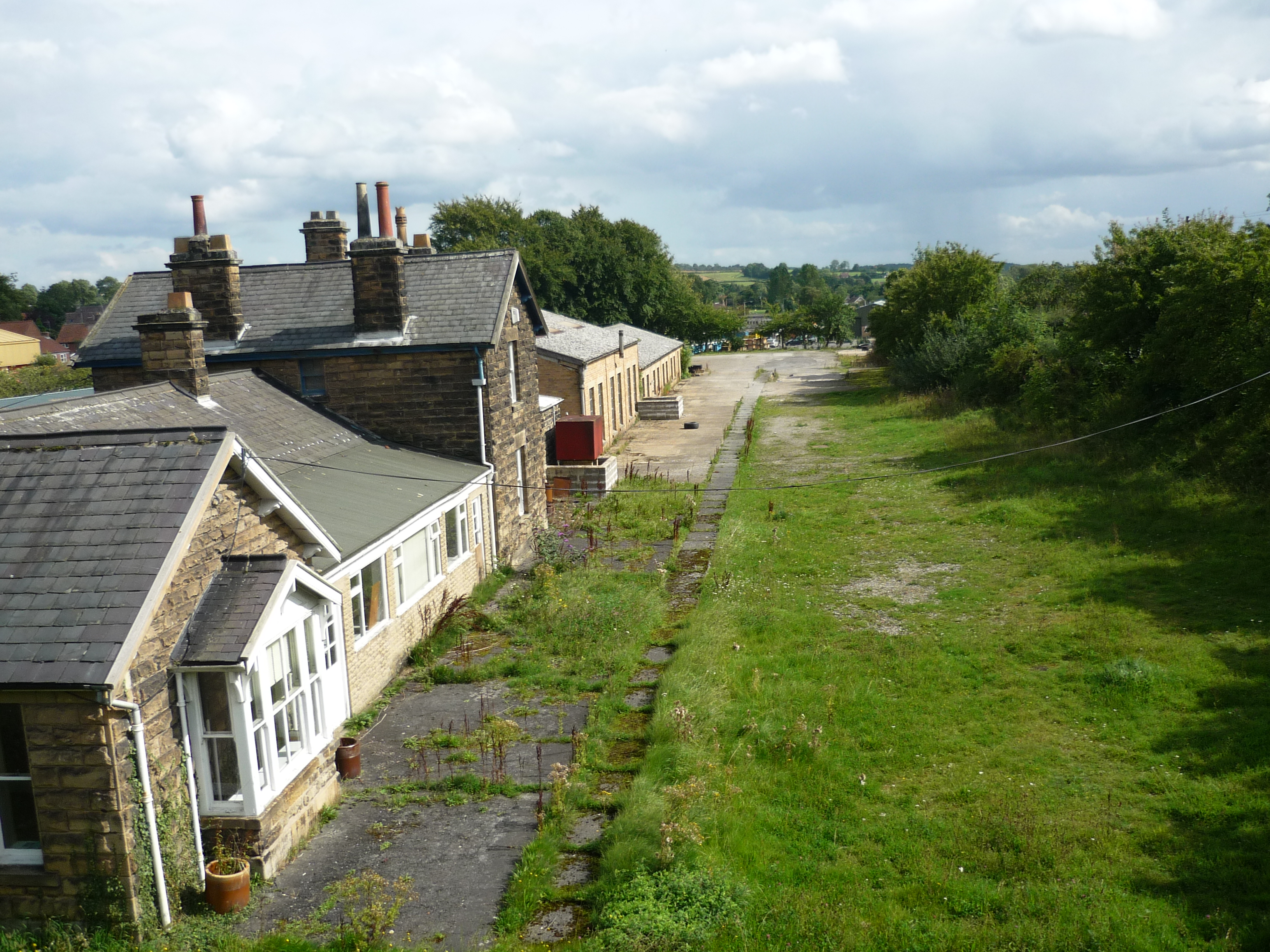
Black Hill Images

Images are sourced within 2km of 54.285493/-0.91205453 or Grid Reference SE7088. Thanks to Geograph Open Source API. All images are credited.

Car park at Hutton-le-Hole On the edge of the village this is a busy car park, with most of it behind the camera. There is a very interesting folk museum a short distanace away and most people in the car park were going to this open air museum.
Car park at Hutton-le-Hole
On the edge of the village this is a busy car park, with most of it behind the camera. There is a very interesting folk museum a short distanace away and most people in the car park were going to this open air museum.
Hutton-le-Hole The road across the 'T' junction is the main street through the village.
Hutton-le-Hole
The road across the 'T' junction is the main street through the village.
The Crown Hutton-le-Hole The pub was quite busy with people drinking and eating at the outside tables on the bright and warm day.
The Crown Hutton-le-Hole
The pub was quite busy with people drinking and eating at the outside tables on the bright and warm day.
Entrance  to  Low  Park  Farm  from  Park  Lane
Entrance to Low Park Farm from Park Lane
Low  Park  Cottages  Park  Lane
Low Park Cottages Park Lane
View  from  Park  Lane  over  Kirkbymoorside Footpath sign on right over field
View from Park Lane over Kirkbymoorside
Footpath sign on right over field
Moor Lane, Hutton-le-Hole Moor Lane in Hutton-le-Hole, looking south west to its junction with Keld Lane.
Moor Lane, Hutton-le-Hole
Moor Lane in Hutton-le-Hole, looking south west to its junction with Keld Lane.
The car park at Hutton-le-Hole
Hutton le Hole, museum On the south-east face of the Folk Museum there is a benchmark cut into a left corner stone. The mark is slightly obscured by the drainpipe.
Hutton le Hole, museum
On the south-east face of the Folk Museum there is a benchmark cut into a left corner stone. The mark is slightly obscured by the drainpipe.
Snowy Hallgate Plantation Viewed from Back of Parks Road.
Snowy Hallgate Plantation
Viewed from Back of Parks Road.
Fallen trees in Rumsdale Plantation Three fallen trees on the path in Rumsdale Plantation after the strong winds the day before.
Fallen trees in Rumsdale Plantation
Three fallen trees on the path in Rumsdale Plantation after the strong winds the day before.
Snowy Douthwaite Dale Looking down Douthwaite Dale at the bottom of the steep hill.
Snowy Douthwaite Dale
Looking down Douthwaite Dale at the bottom of the steep hill.
In Douthwaite Dale Looking NE from Shepherd's Road towards The Nab.
In Douthwaite Dale
Looking NE from Shepherd's Road towards The Nab.
Smart sheep? A hand written notice nearby says 'Sheep put leads on dogs', but I saw no evidence of sheep putting leads on dogs. One of those signs that you can take either way, like 'slow children'.
Smart sheep?
A hand written notice nearby says 'Sheep put leads on dogs', but I saw no evidence of sheep putting leads on dogs. One of those signs that you can take either way, like 'slow children'.
Track and path, Rumsdale Plantation This forest track looks like it should be a public right of way, but look carefully and one can see a small blue arrow pointing up the steep bank to the left. A white sign a little further on says that the track is private.
Track and path, Rumsdale Plantation
This forest track looks like it should be a public right of way, but look carefully and one can see a small blue arrow pointing up the steep bank to the left. A white sign a little further on says that the track is private.
Back of Parks Road A fine track for walking between Gillamoor and Kirkbymoorside, but with a catch at either end. At the Gillamoor end where it meets Woodhead Field lane there seems to be a semi permanent 'lake' which one must edge around, whilst there's a similar trap at the southern end where the lane meets tarmac, the latter 'lake' having slippery mud at either side and the chance of a wetting.
Back of Parks Road
A fine track for walking between Gillamoor and Kirkbymoorside, but with a catch at either end. At the Gillamoor end where it meets Woodhead Field lane there seems to be a semi permanent 'lake' which one must edge around, whilst there's a similar trap at the southern end where the lane meets tarmac, the latter 'lake' having slippery mud at either side and the chance of a wetting.
Belted Galloway cattle Belted Galloway cattle by Park Lane.
Belted Galloway cattle
Belted Galloway cattle by Park Lane.
Douthwaite Dale
Douthwaite Dale
Show me another place!

Black Hill is located at Grid Ref: SE7088 (Lat: 54.285493, Lng: -0.91205453)

Division: North Riding

Administrative County: North Yorkshire

District: Ryedale

Police Authority: North Yorkshire

What 3 Words

///unearthly.haunts.tricks. Near Kirkbymoorside, North Yorkshire

Related Wikis

Excalibur Pot

Excalibur Pot is a natural cave in the North York Moors area of England. It is the only major cave known in the North York Moors, and is formed within...

Hutton-le-Hole

Hutton-le-Hole is a small village and civil parish in North Yorkshire, England, about 7 miles (11 km) north-west of Pickering. It is a popular scenic village...

Spaunton

Spaunton is a hamlet and civil parish in North Yorkshire, England. At the 2011 the civil parish had a population of less than 100. Details are included...

Keldholme Priory

Keldholme Priory was a Cistercian nunnery in Kirkbymoorside, North Yorkshire, England. It was established by one of the Robert de Stutvilles in either...

Kirkbymoorside

Kirkbymoorside () is a market town and civil parish in North Yorkshire, England. It is 25 miles (40.2 km) north of York. It is also midway between Pickering...

Gillamoor

Gillamoor is a village and civil parish in the Ryedale district of the county of North Yorkshire, England. It is situated about 3 miles (5 km) north...

Kirbymoorside railway station

Kirbymoorside railway station served the market town of Kirkbymoorside in North Yorkshire, England from 1874 until 1964. == History == It was opened on...

Appleton-le-Moors

Appleton-le-Moors is a village and civil parish in North Yorkshire, England. According to the 2001 census it had a population of 183, reducing to 164 in...

Nearby Amenities

Located within 500m of 54.285493,-0.91205453
Barrier: cattle_grid
Lat/Long: 54.2876405/-0.9157554
Note: Not a place, don't remember it as being a farm
Source: survey
Lat/Long: 54.2822155/-0.912288
Lingmore Farm
Place: farm
Lat/Long: 54.2856684/-0.9049
Ford: yes
Lat/Long: 54.2874893/-0.9137966
The data included in this document is from www.openstreetmap.org. The data is made available under ODbL.

Have you been to Black Hill?

Leave your review of Black Hill below (or comments, questions and feedback).