Raven Hill
Hill, Mountain in Yorkshire Scarborough
England
Raven Hill
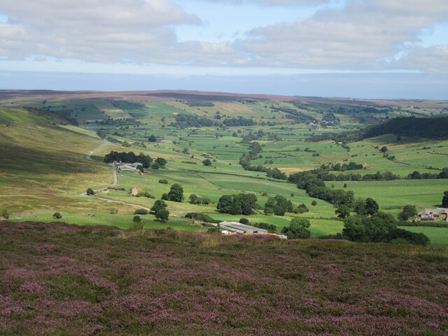
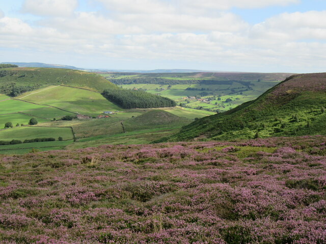
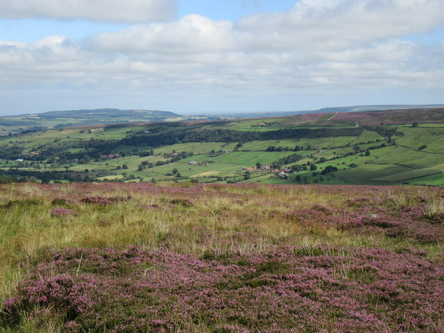
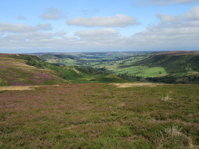
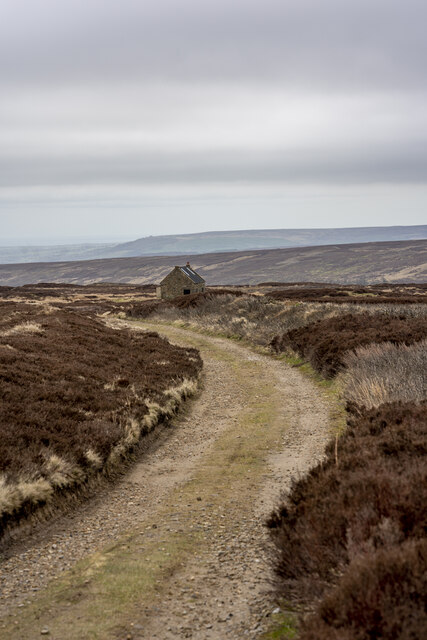
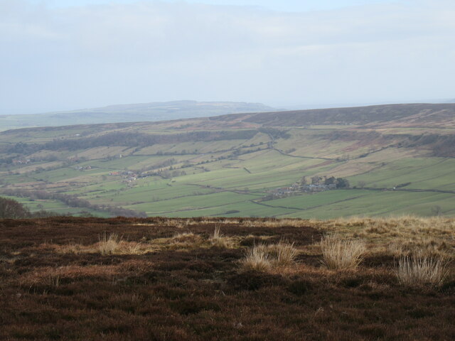
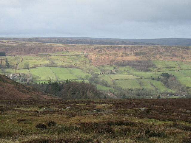
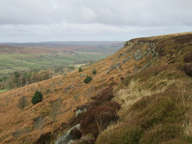
Raven Hill is a prominent geographical feature located in the county of Yorkshire, England. Rising to an impressive height of 500 meters above sea level, it is considered one of the highest hills in the region. Situated in the northern part of Yorkshire, Raven Hill offers breathtaking panoramic views of the surrounding countryside.
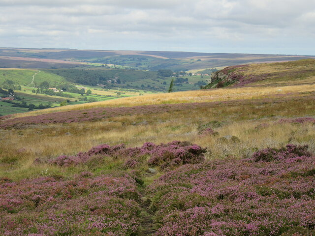
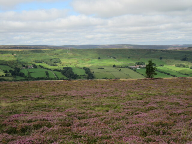
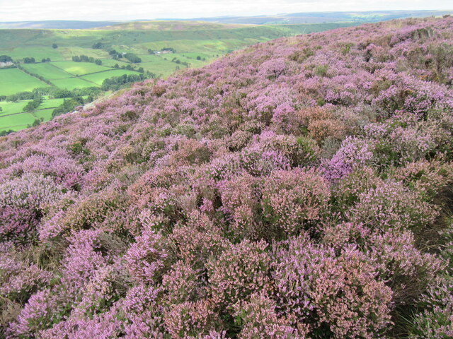
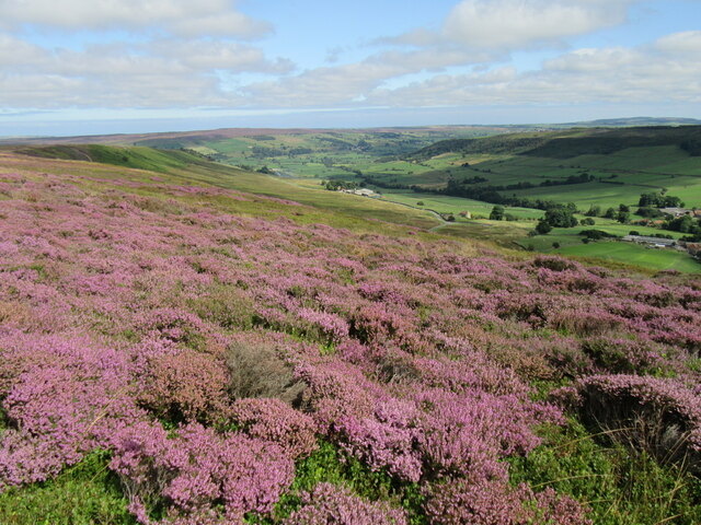
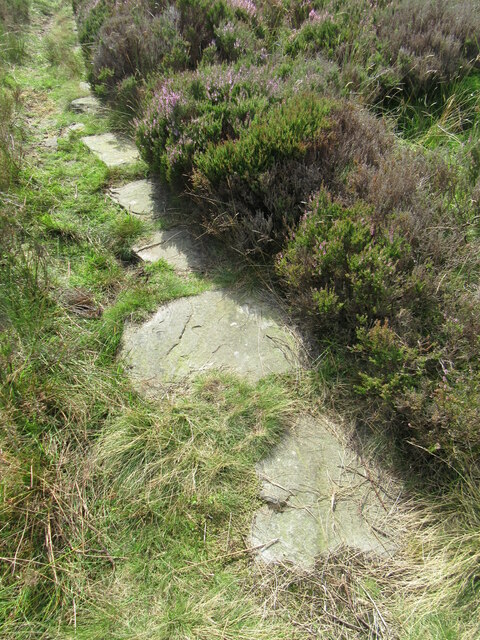
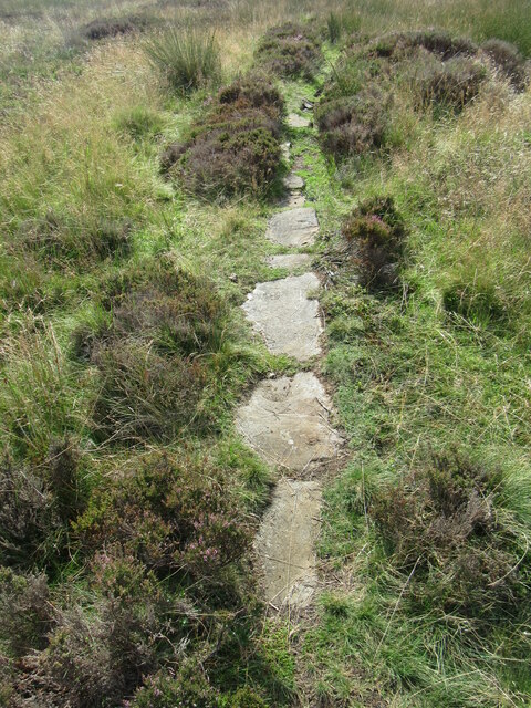
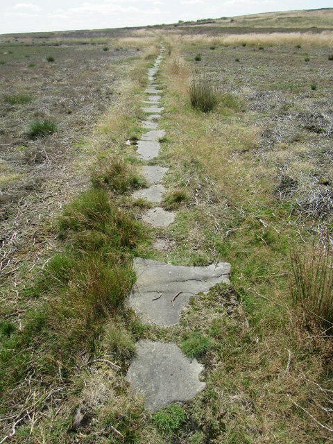
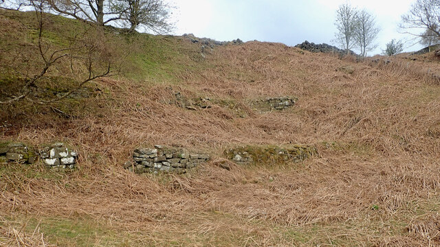
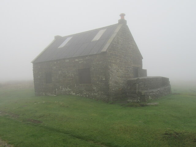
The hill is characterized by its steep slopes covered in lush green vegetation, which includes a variety of native trees and shrubs. The terrain is predominantly rocky, with occasional patches of heather, making it a popular destination for hiking and outdoor enthusiasts. Raven Hill is also renowned for its rich biodiversity, providing a haven for a diverse range of plant and animal species.
At the summit of Raven Hill, visitors are rewarded with stunning vistas of the Yorkshire Dales National Park and the picturesque villages scattered across the landscape. On a clear day, it is even possible to catch a glimpse of the distant North Sea.
The hill is a popular destination for both locals and tourists seeking tranquility and a connection with nature. It offers numerous walking trails and paths that cater to all levels of fitness and experience. Raven Hill is also home to a variety of wildlife, including birds of prey such as ravens and kestrels, adding to its allure for nature lovers and birdwatchers.
Overall, Raven Hill in Yorkshire is an outstanding natural landmark, showcasing the beauty and diversity of the region's landscape.
If you have any feedback on the listing, please let us know in the comments section below.
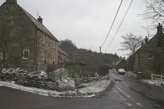
Raven Hill Images
Images are sourced within 2km of 54.420016/-0.90868054 or Grid Reference NZ7003. Thanks to Geograph Open Source API. All images are credited.

Raven Hill is located at Grid Ref: NZ7003 (Lat: 54.420016, Lng: -0.90868054)
Division: North Riding
Administrative County: North Yorkshire
District: Scarborough
Police Authority: North Yorkshire
What 3 Words
///warns.polishing.polishing. Near Danby, North Yorkshire
Nearby Locations
Related Wikis

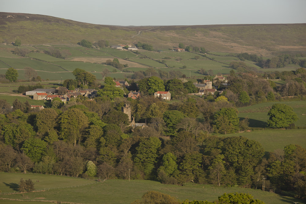
Botton, North Yorkshire
Botton is a small village within the North York Moors National Park in North Yorkshire, England which is mainly a Camphill Community for people with learning...

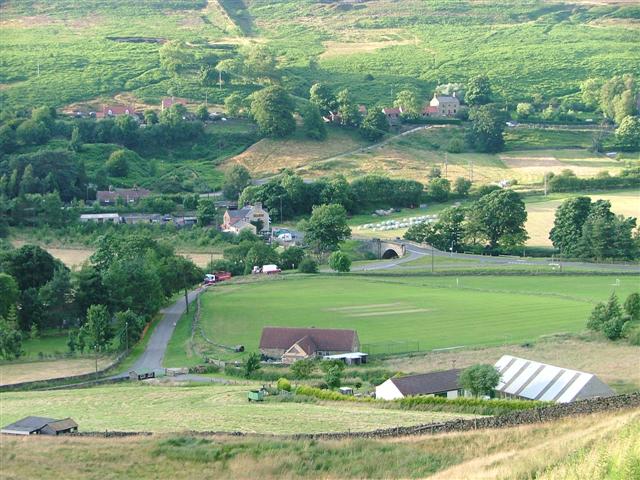
Fryup
Fryup (grid reference NZ720046) is a hamlet in the North York Moors National Park in North Yorkshire, England. It is within the civil parish of Danby,...

Lion Inn
The Lion Inn is a public house at Blakey Ridge, near Kirkbymoorside, in North Yorkshire, England. The building was completed between 1553 and 1558 (dates...

Ainthorpe
Ainthorpe is a village in the civil parish of Danby and the Scarborough district of the county of North Yorkshire, England. It is situated within the...
Westerdale
Westerdale is a village, civil parish and dale within the Scarborough district of North Yorkshire, England. The Esk Valley Walk runs through part of the...
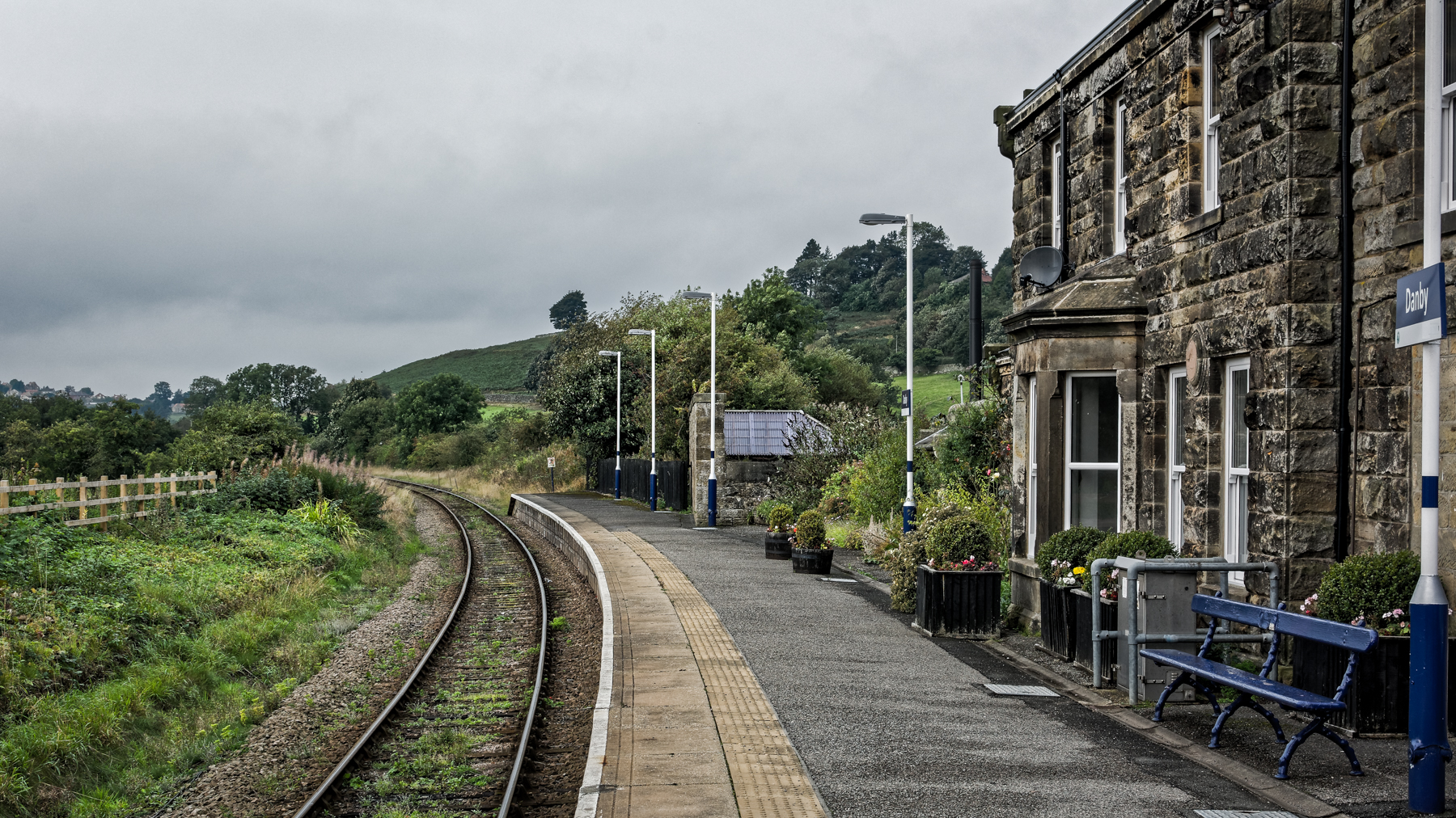
Danby railway station
Danby is a railway station on the Esk Valley Line, which runs between Middlesbrough and Whitby via Nunthorpe. The station, situated 15 miles 9 chains...
Castleton, North Yorkshire
Castleton is a village on the River Esk, part of the civil parish of Danby in the county of North Yorkshire in England. It can be found 7.1 miles (11.5...
Houlsyke
Houlsyke is a hamlet in the Glaisdale civil parish of the Borough of Scarborough, in North Yorkshire, England. It is situated between Danby and Lealholm...
Nearby Amenities
Located within 500m of 54.420016,-0.90868054Have you been to Raven Hill?
Leave your review of Raven Hill below (or comments, questions and feedback).