Britwell Hill
Hill, Mountain in Oxfordshire South Oxfordshire
England
Britwell Hill

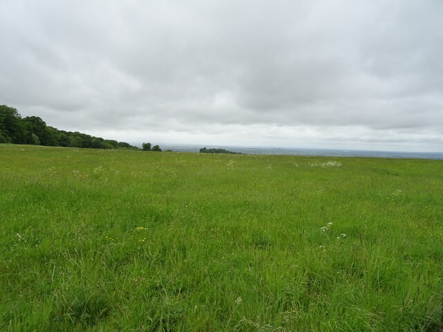
Britwell Hill is a prominent natural landmark located in Oxfordshire, England. It is classified as a hill rather than a mountain, standing at an elevation of approximately 211 meters (692 feet) above sea level. Nestled in the picturesque countryside, Britwell Hill offers breathtaking panoramic views of the surrounding area, making it a popular destination for nature enthusiasts and hikers.
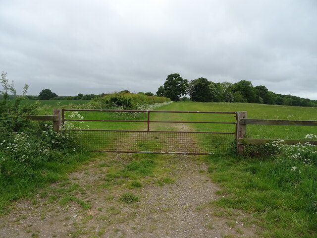
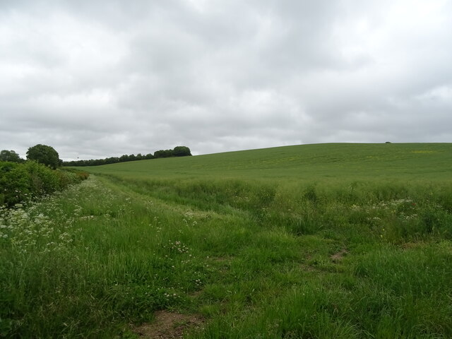
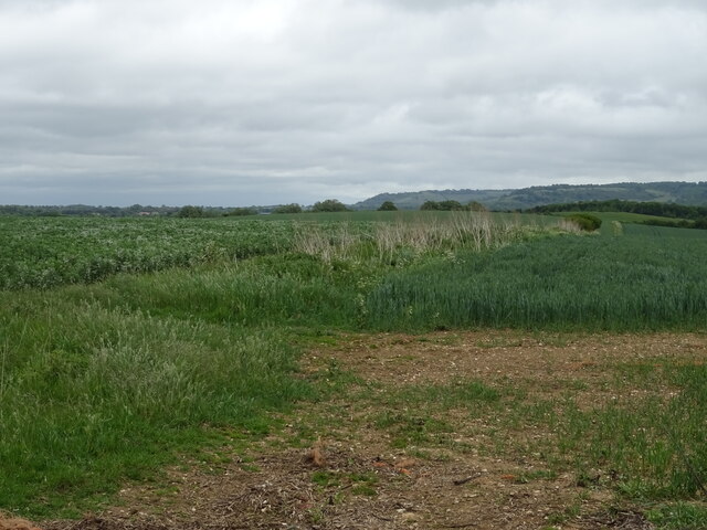
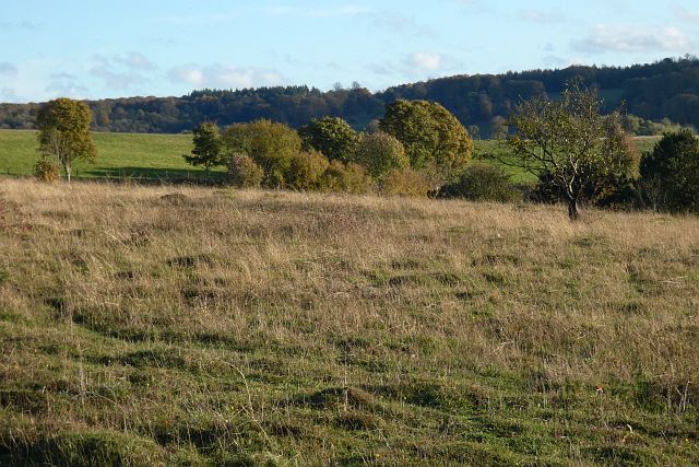
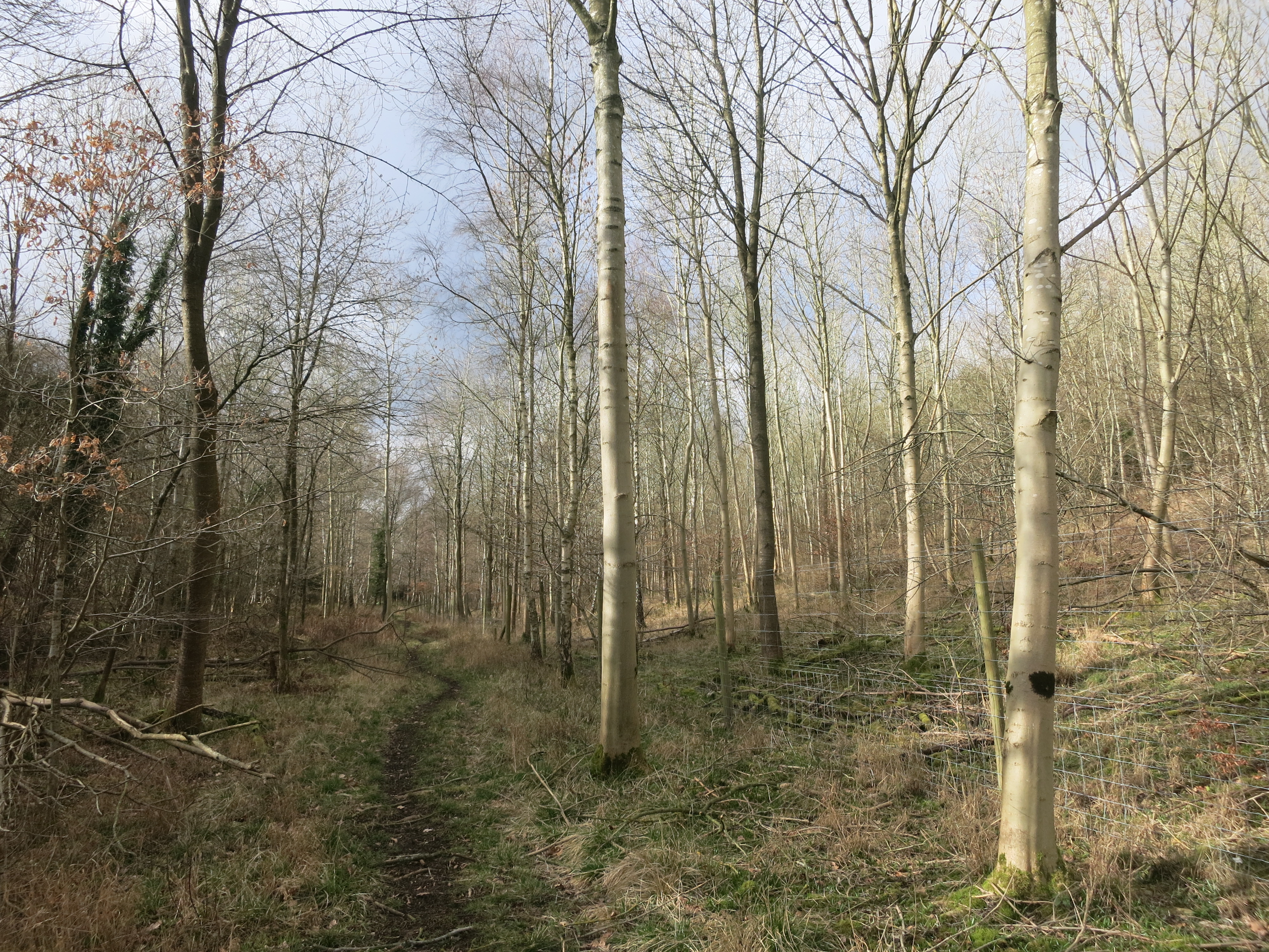
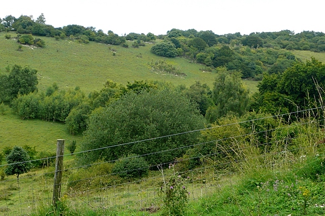
Situated near the village of Britwell Salome, the hill is characterized by its gentle slopes and lush vegetation. The area is home to a diverse range of flora and fauna, including a variety of wildflowers and bird species. The hill is also known for its fertile soil, making it suitable for agricultural activities, particularly grazing livestock.
At the summit of Britwell Hill, visitors can find a trig point, which serves as a marker for surveying purposes. From this vantage point, one can admire the extensive landscapes stretching across Oxfordshire and beyond. On clear days, it is even possible to catch a glimpse of the iconic Oxford skyline in the distance.
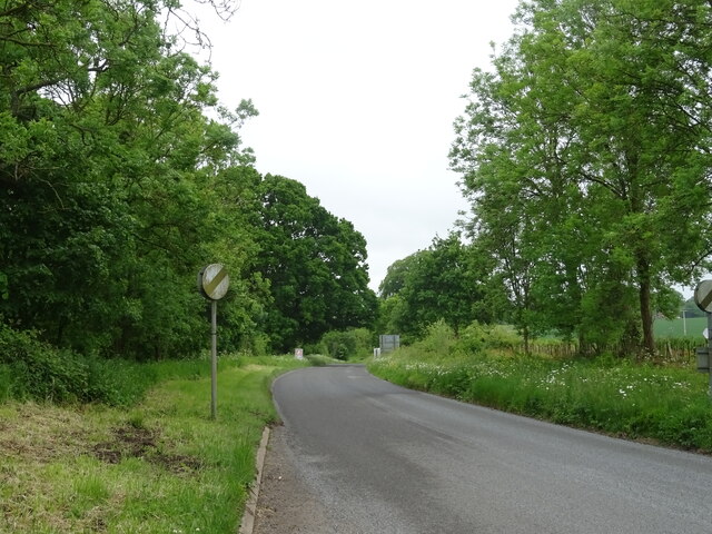
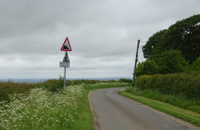
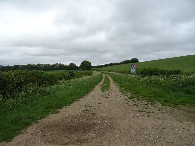
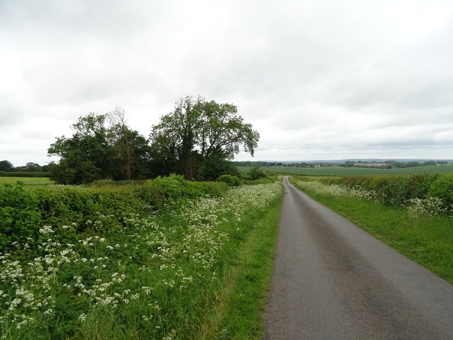
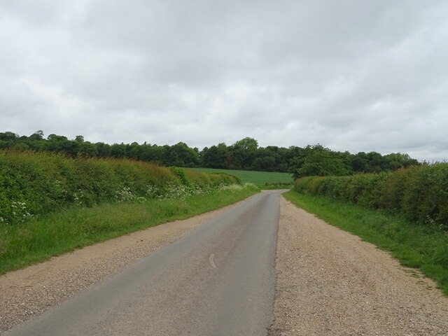
The hill's rural location provides a tranquil escape from the hustle and bustle of city life. Many locals and tourists alike take advantage of the numerous footpaths and bridleways that crisscross the area, offering opportunities for leisurely strolls and more challenging hikes. With its natural beauty and serene atmosphere, Britwell Hill is a captivating destination for those seeking a peaceful retreat in the heart of Oxfordshire.
If you have any feedback on the listing, please let us know in the comments section below.
Britwell Hill Images
Images are sourced within 2km of 51.61876/-1.0057502 or Grid Reference SU6891. Thanks to Geograph Open Source API. All images are credited.


Britwell Hill is located at Grid Ref: SU6891 (Lat: 51.61876, Lng: -1.0057502)
Administrative County: Oxfordshire
District: South Oxfordshire
Police Authority: Thames Valley
What 3 Words
///tripling.muddle.flask. Near Watlington, Oxfordshire
Nearby Locations
Related Wikis

Swyncombe Downs
Swyncombe Downs is a 47.1-hectare (116-acre) biological Site of Special Scientific Interest east of Wallingford in Oxfordshire.This is an area of chalk...

Swyncombe
Swyncombe is a hamlet and large civil parish in the high Chilterns, within the Area of Outstanding Natural Beauty about 4+1⁄2 miles (7 km) east of Wallingford...

Watlington Park
Watlington Park is an English country house with its surrounding grounds of approximately 500 acres (200 ha), located atop an escarpment in the Chiltern...

Watlington Chalk Pit
Watlington Chalk Pit is a 1.6-hectare (4.0-acre) Local Nature Reserve east of Watlington in Oxfordshire. It is owned by South Oxfordshire District Council...

Russell's Water
Russell's Water is a hamlet about 6 miles (9.7 km) north of Henley-on-Thames in South Oxfordshire. It is in the Chiltern Hills about 620 feet (190 m)...

Britwell Salome
Britwell Salome is a village and civil parish in South Oxfordshire, England centred 4+1⁄2 miles (7 km) northeast of Wallingford. The 2011 Census recorded...
Pishill Woods
Pishill Woods is a 42.8-hectare (106-acre) biological Site of Special Scientific Interest north of Nettlebed in Oxfordshire.These semi-natural woods have...
Watlington and Pyrton Hills
Watlington and Pyrton Hills is a 112.7-hectare (278-acre) biological Site of Special Scientific Interest east of Watlington in Oxfordshire. An area of...
Nearby Amenities
Located within 500m of 51.61876,-1.0057502Have you been to Britwell Hill?
Leave your review of Britwell Hill below (or comments, questions and feedback).