Westernend Shaw
Wood, Forest in Oxfordshire South Oxfordshire
England
Westernend Shaw

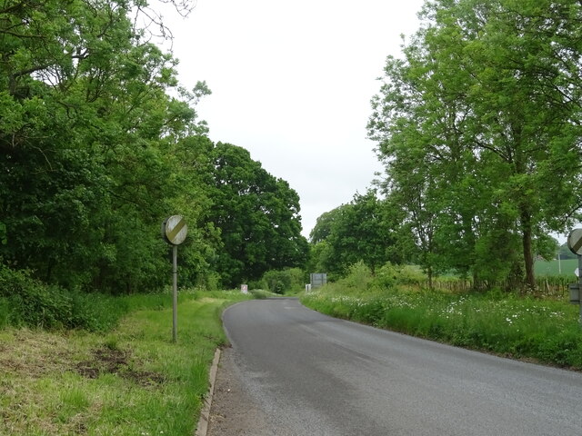
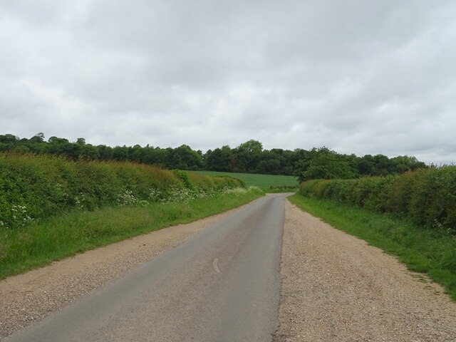
Westernend Shaw is a picturesque and quaint village located in the county of Oxfordshire, England. Nestled amidst dense woodlands and lush greenery, it offers a serene and idyllic setting for residents and visitors alike. The village derives its name from the ancient Shaw woodland that surrounds it, creating a symbiotic relationship between nature and human habitation.
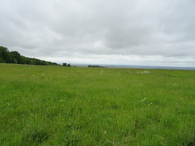
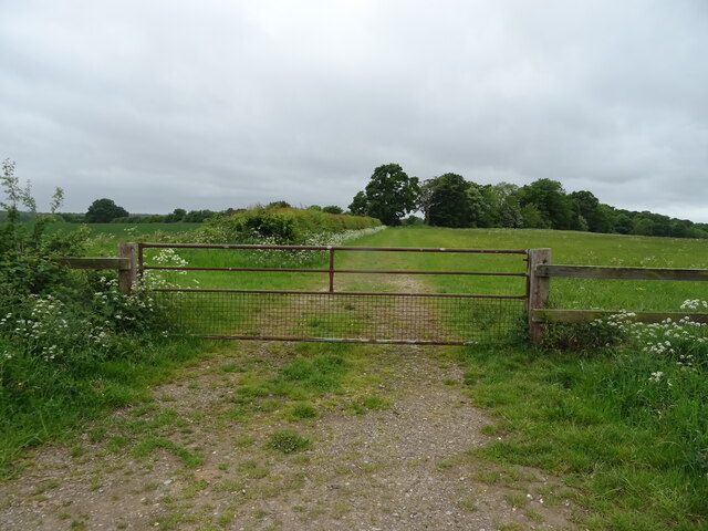
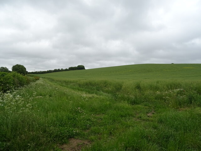
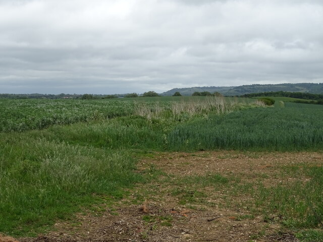
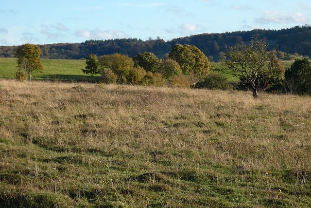
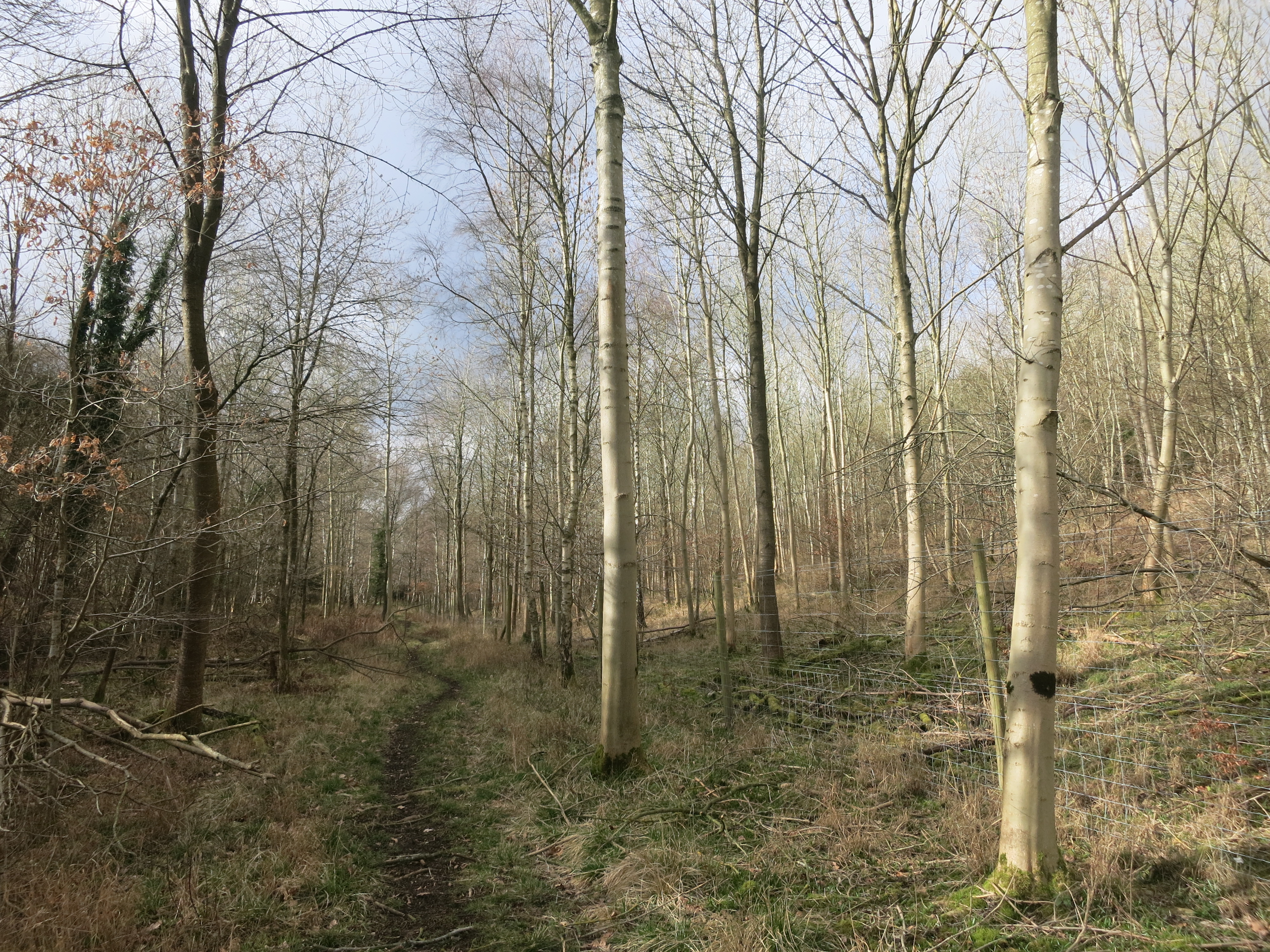
The woodlands of Westernend Shaw are home to a diverse range of flora and fauna, making it a haven for nature lovers and wildlife enthusiasts. Ancient trees, such as oak and beech, dominate the landscape, their branches intertwining to form a captivating canopy. The forest floor is adorned with a rich carpet of wildflowers, adding a burst of color to the surroundings.
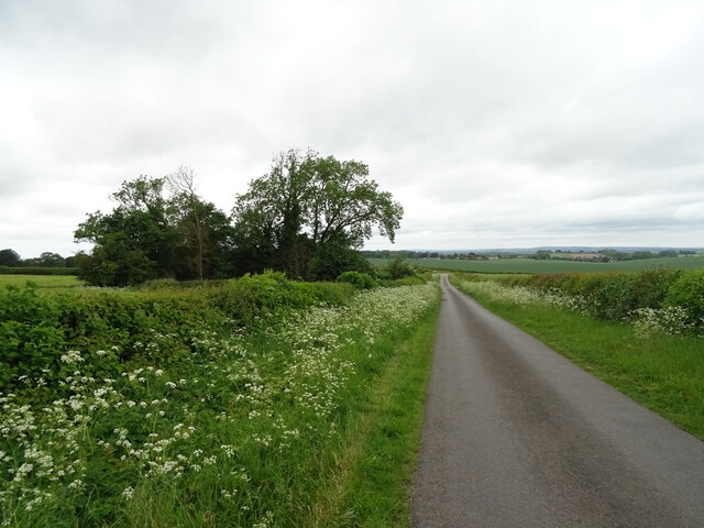
The village itself exudes a charming ambiance, with its traditional stone cottages and well-manicured gardens. The local community is tight-knit and friendly, making Westernend Shaw a welcoming place for newcomers. A small but thriving local economy is sustained by a handful of independent shops and businesses, catering to the needs of both residents and visitors.
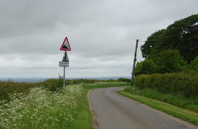
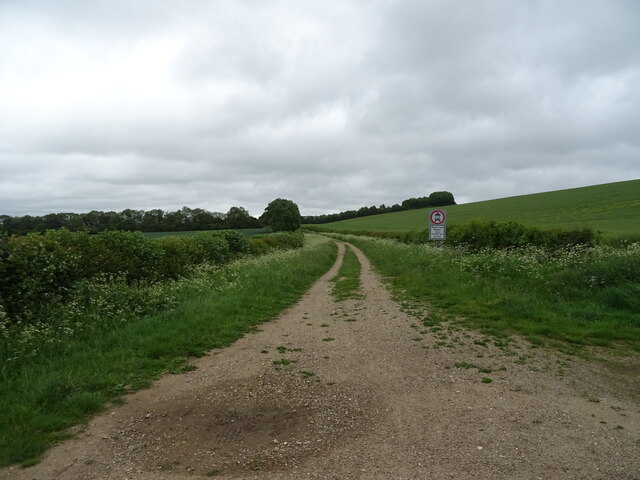
For recreational activities, the woodlands surrounding the village provide ample opportunities for walking, hiking, and exploring. Numerous trails crisscross the area, offering breathtaking views and a chance to immerse oneself in nature. The nearby Shaw Forest Park offers additional recreational facilities, including picnic areas and playgrounds for families to enjoy.
In conclusion, Westernend Shaw, Oxfordshire, is a charming village nestled in a woodland paradise. With its natural beauty, friendly community, and recreational opportunities, it is a perfect destination for those seeking a peaceful and harmonious lifestyle amidst the beauty of nature.
If you have any feedback on the listing, please let us know in the comments section below.
Westernend Shaw Images
Images are sourced within 2km of 51.615799/-1.0138887 or Grid Reference SU6891. Thanks to Geograph Open Source API. All images are credited.


Westernend Shaw is located at Grid Ref: SU6891 (Lat: 51.615799, Lng: -1.0138887)
Administrative County: Oxfordshire
District: South Oxfordshire
Police Authority: Thames Valley
What 3 Words
///music.field.slyly. Near Watlington, Oxfordshire
Nearby Locations
Related Wikis

Swyncombe Downs
Swyncombe Downs is a 47.1-hectare (116-acre) biological Site of Special Scientific Interest east of Wallingford in Oxfordshire.This is an area of chalk...

Swyncombe
Swyncombe is a hamlet and large civil parish in the high Chilterns, within the Area of Outstanding Natural Beauty about 4+1⁄2 miles (7 km) east of Wallingford...

Watlington Park
Watlington Park is an English country house with its surrounding grounds of approximately 500 acres (200 ha), located atop an escarpment in the Chiltern...

Britwell Salome
Britwell Salome is a village and civil parish in South Oxfordshire, England centred 4+1⁄2 miles (7 km) northeast of Wallingford. The 2011 Census recorded...

Russell's Water
Russell's Water is a hamlet about 6 miles (9.7 km) north of Henley-on-Thames in South Oxfordshire. It is in the Chiltern Hills about 620 feet (190 m)...
Pishill Woods
Pishill Woods is a 42.8-hectare (106-acre) biological Site of Special Scientific Interest north of Nettlebed in Oxfordshire.These semi-natural woods have...

Watlington Chalk Pit
Watlington Chalk Pit is a 1.6-hectare (4.0-acre) Local Nature Reserve east of Watlington in Oxfordshire. It is owned by South Oxfordshire District Council...

HM Prison Huntercombe
HM Prison Huntercombe is a Category C men's prison, located near Nuffield in Oxfordshire, England. It is operated by His Majesty's Prison Service. ��2...
Nearby Amenities
Located within 500m of 51.615799,-1.0138887Have you been to Westernend Shaw?
Leave your review of Westernend Shaw below (or comments, questions and feedback).