Dean Wood
Wood, Forest in Oxfordshire South Oxfordshire
England
Dean Wood

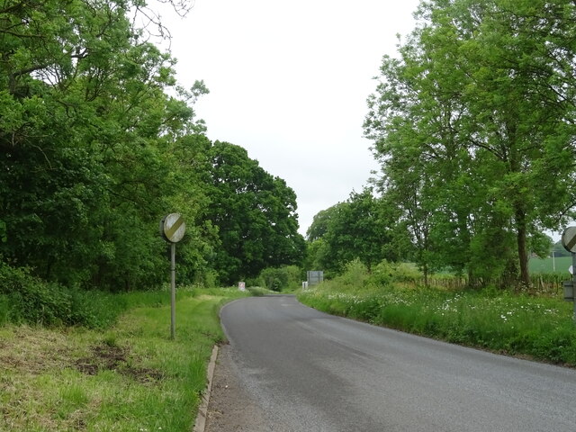
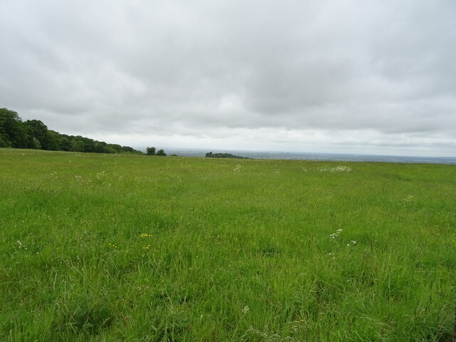
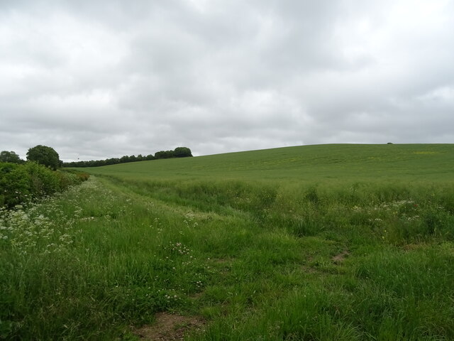
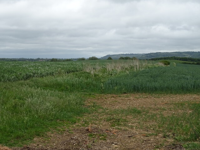
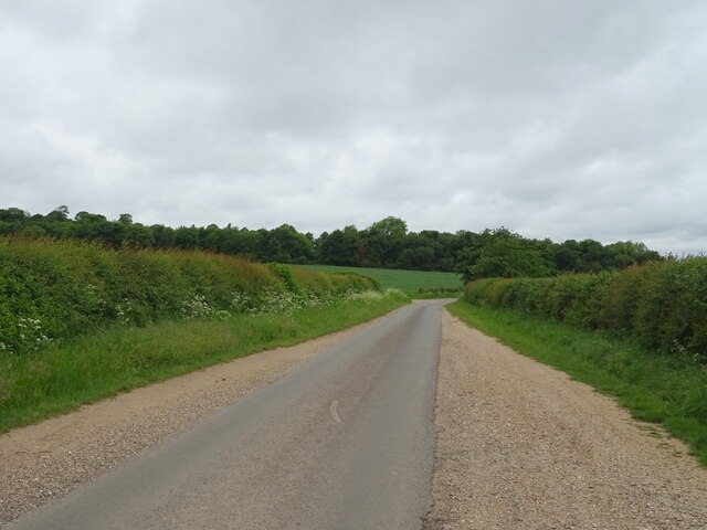
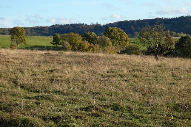
Dean Wood is a picturesque woodland located in Oxfordshire, England. It sprawls over an area of approximately 10 square miles and is situated within the larger region of the Chiltern Hills. The woodland is characterized by its dense canopy of trees, predominantly oak and beech, which create a serene and tranquil atmosphere.
The forest is known for its rich biodiversity, housing a variety of flora and fauna. Its diverse ecosystem provides a habitat for numerous species, including deer, foxes, badgers, and a wide array of bird species. The woodland is a haven for nature enthusiasts and offers fantastic opportunities for wildlife observation and photography.
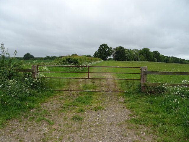
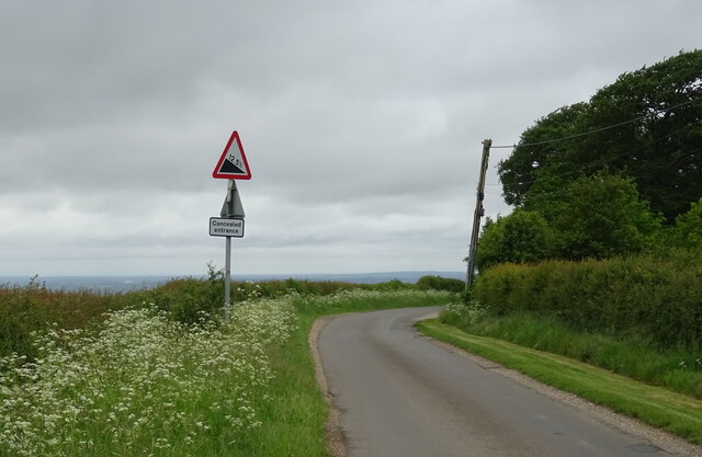
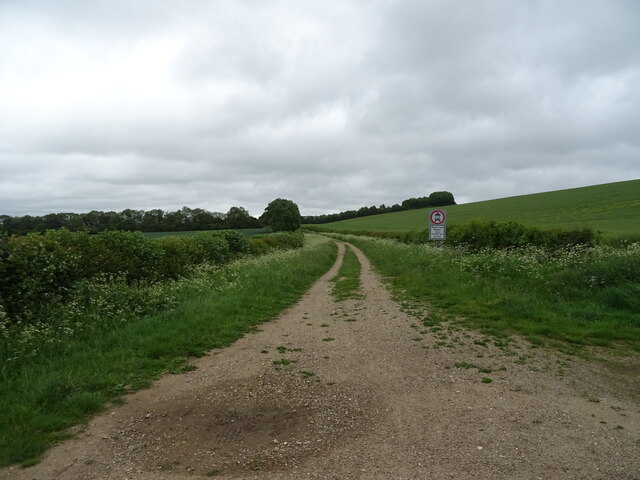
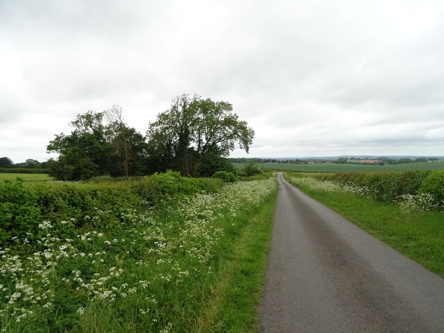
Dean Wood also boasts several well-maintained walking trails that wind through its enchanting landscape. These paths cater to both casual strollers and avid hikers, offering different levels of difficulty and exploring various sections of the woodland. The trails are well signposted and provide visitors with the opportunity to immerse themselves in the natural beauty of the forest.
In addition to its natural allure, Dean Wood holds historical significance. The woodland was once part of a royal hunting ground and remnants of ancient settlements can still be found within its boundaries. Archaeological discoveries, such as burial mounds and ancient trackways, provide insights into the area's past.
Overall, Dean Wood in Oxfordshire is a captivating woodland that offers visitors a chance to escape the bustle of everyday life and immerse themselves in the beauty of nature. With its diverse wildlife, well-maintained trails, and historical significance, it is a destination that appeals to both nature enthusiasts and history buffs alike.
If you have any feedback on the listing, please let us know in the comments section below.
Dean Wood Images
Images are sourced within 2km of 51.617958/-1.0130041 or Grid Reference SU6891. Thanks to Geograph Open Source API. All images are credited.


Dean Wood is located at Grid Ref: SU6891 (Lat: 51.617958, Lng: -1.0130041)
Administrative County: Oxfordshire
District: South Oxfordshire
Police Authority: Thames Valley
What 3 Words
///surveyed.flotation.cloak. Near Watlington, Oxfordshire
Nearby Locations
Related Wikis

Swyncombe Downs
Swyncombe Downs is a 47.1-hectare (116-acre) biological Site of Special Scientific Interest east of Wallingford in Oxfordshire.This is an area of chalk...

Swyncombe
Swyncombe is a hamlet and large civil parish in the high Chilterns, within the Area of Outstanding Natural Beauty about 4+1⁄2 miles (7 km) east of Wallingford...

Watlington Park
Watlington Park is an English country house with its surrounding grounds of approximately 500 acres (200 ha), located atop an escarpment in the Chiltern...

Britwell Salome
Britwell Salome is a village and civil parish in South Oxfordshire, England centred 4+1⁄2 miles (7 km) northeast of Wallingford. The 2011 Census recorded...

Watlington Chalk Pit
Watlington Chalk Pit is a 1.6-hectare (4.0-acre) Local Nature Reserve east of Watlington in Oxfordshire. It is owned by South Oxfordshire District Council...

Russell's Water
Russell's Water is a hamlet about 6 miles (9.7 km) north of Henley-on-Thames in South Oxfordshire. It is in the Chiltern Hills about 620 feet (190 m)...
Watlington, Oxfordshire
Watlington is a small market town and civil parish about 7 miles (11 km) south of Thame in Oxfordshire, near the county's eastern edge and less than 2...
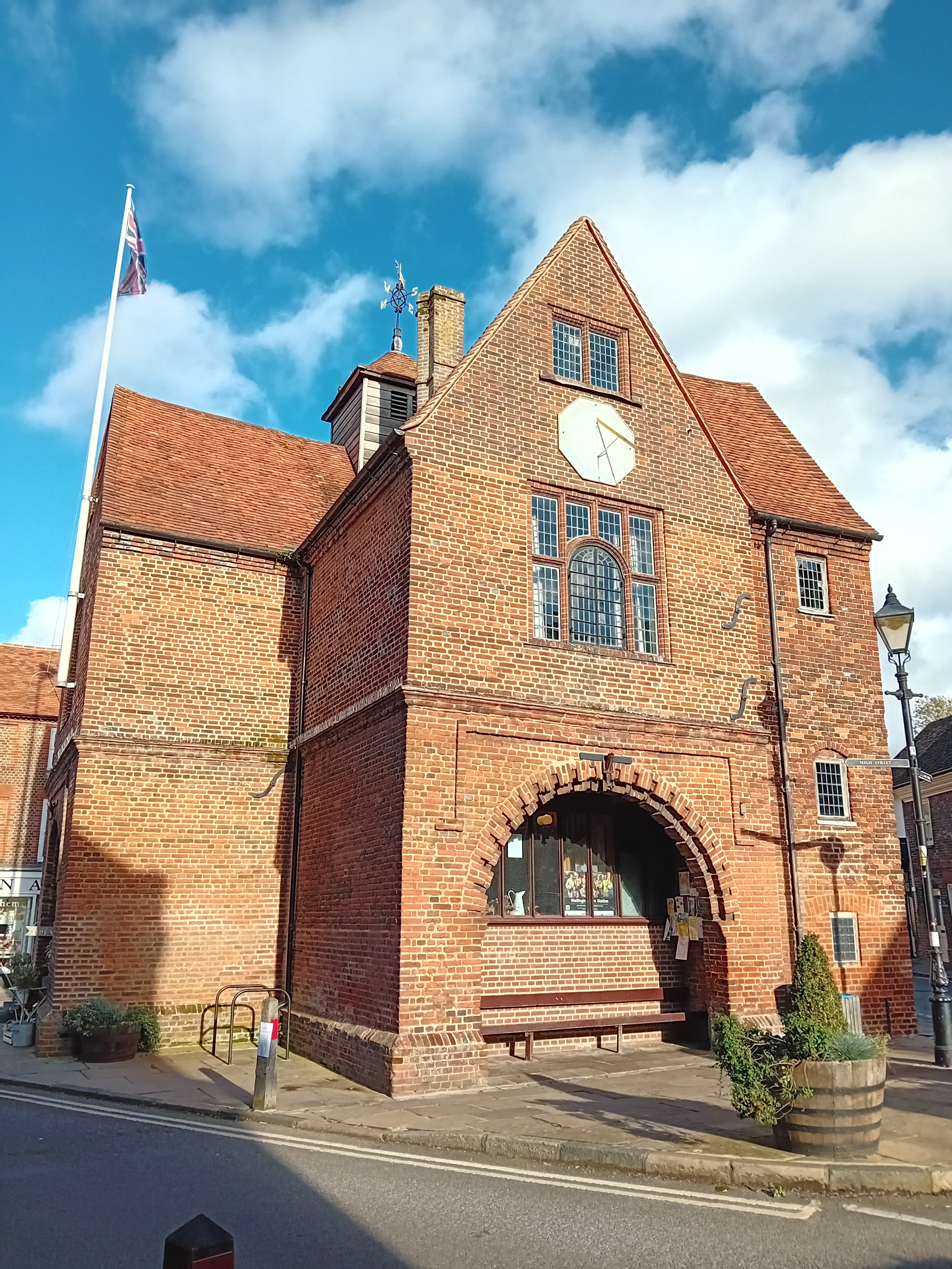
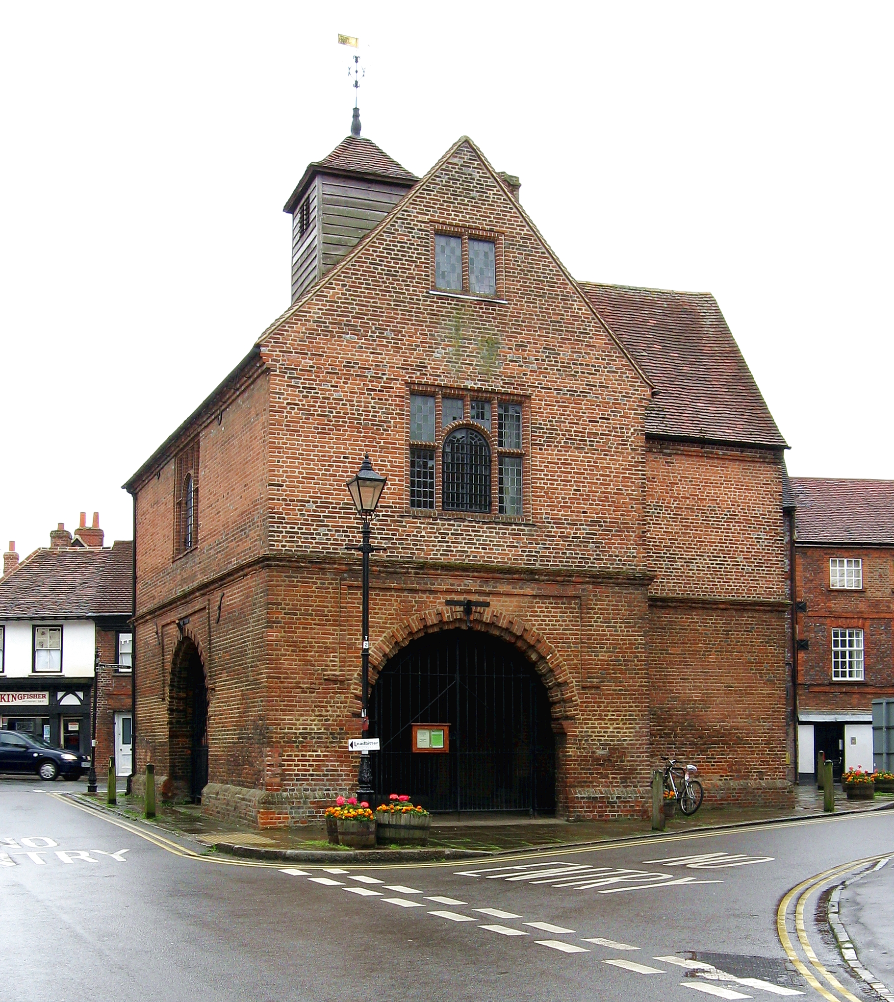
Watlington Town Hall
Watlington Town Hall is a municipal building in the High Street in Watlington, Oxfordshire, England. The building, which is used as a community events...
Have you been to Dean Wood?
Leave your review of Dean Wood below (or comments, questions and feedback).