Gravel Hill

Hill, Mountain in Oxfordshire South Oxfordshire

England

Gravel Hill

Houses on Oxford Road, Reading
Houses on Oxford Road, Reading Credit: JThomas

Gravel Hill is a prominent geographical feature located in Oxfordshire, England. While not classified as a hill or mountain in the traditional sense, it is referred to as such due to its steep incline and significant elevation when compared to the surrounding landscape.

Situated near the village of Henley-on-Thames, Gravel Hill is a well-known landmark in the area. It rises to a height of approximately 226 meters (741 feet), offering stunning panoramic views of the Oxfordshire countryside. Its location close to the famous Chiltern Hills adds to its appeal, providing visitors with an opportunity to explore the natural beauty of the region.

Gravel Hill is predominantly covered with lush green vegetation, including grasses, shrubs, and trees. Its slopes are known for their rocky terrain, composed mainly of gravel and loose rocks, which contribute to the hill's name. This unique geological composition also gives the area its distinctive character.

The hill is a popular destination for outdoor enthusiasts, attracting hikers, walkers, and nature lovers throughout the year. Its challenging ascent provides an excellent opportunity for exercise and adventure, with various paths and trails leading to the summit. The surrounding countryside, with its rolling hills and picturesque villages, adds to the charm of the area.

Gravel Hill's historical significance is also noteworthy. Over the years, it has been a site of archaeological interest, with various artifacts and remains discovered in the vicinity. These findings provide insights into the region's past and contribute to the cultural heritage of Oxfordshire.

In summary, Gravel Hill is a notable feature of Oxfordshire, offering breathtaking views, outdoor recreational opportunities, and a glimpse into the area's rich history.

If you have any feedback on the listing, please let us know in the comments section below.
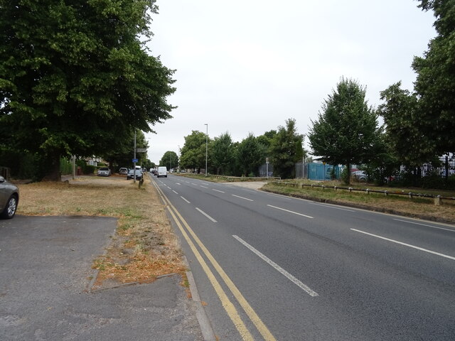
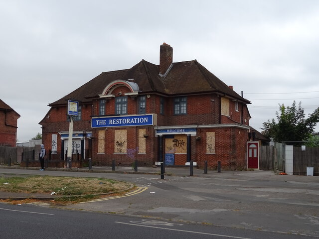
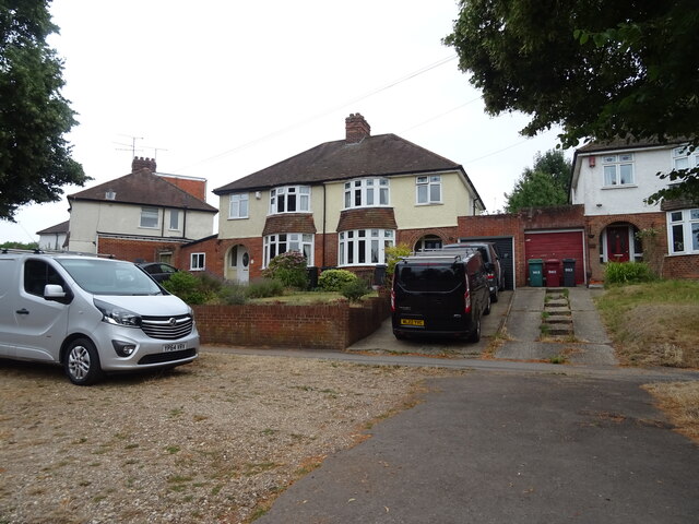
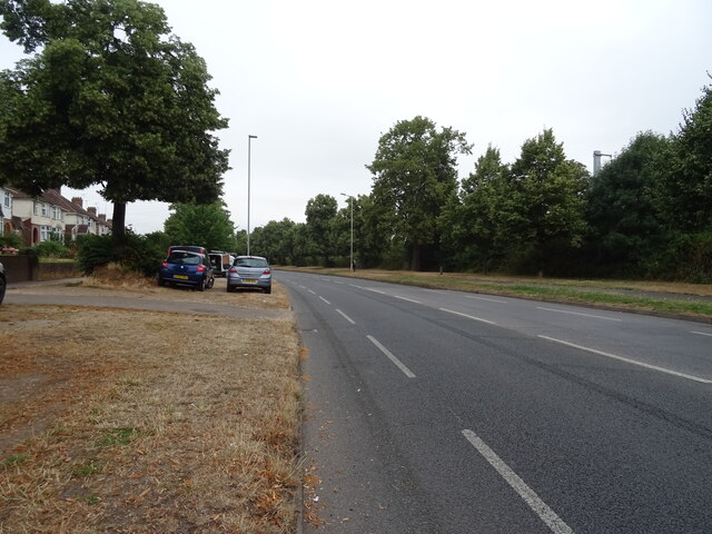
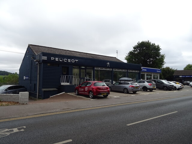
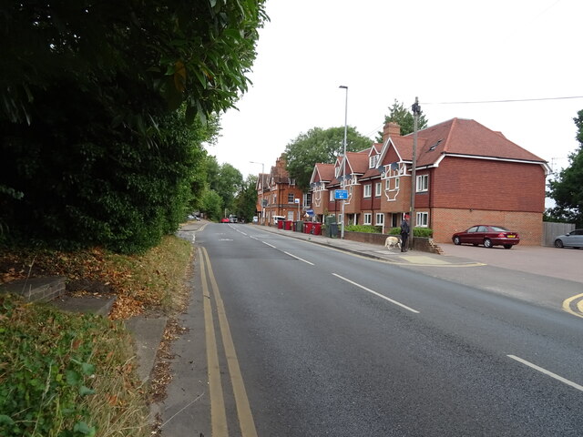
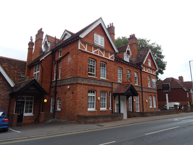
Gravel Hill Images

Images are sourced within 2km of 51.476096/-1.0086527 or Grid Reference SU6875. Thanks to Geograph Open Source API. All images are credited.

Houses on Oxford Road, Reading
Oxford Road (A329), Reading
The Restoration Aptly named former public house on Oxford Road.
See <a href="https://www.geograph.org.uk/photo/7246303">SU6874 : Sign for the Restoration</a> for sign.
The Restoration
Aptly named former public house on Oxford Road. See SU6874 : Sign for the Restoration for sign.
Sign for the Restoration See <a href="https://www.geograph.org.uk/photo/7246302">SU6874 : The Restoration</a> for context.
Sign for the Restoration
See SU6874 : The Restoration for context.
Houses on Oxford Road
Houses on Oxford Road Heading north west.
Houses on Oxford Road
Heading north west.
Car dealership on Oxford Road
Oxford Road (A329) Heading north west.
Oxford Road (A329)
Heading north west.
The Roebuck Hotel on Oxford Road See <a href="https://www.geograph.org.uk/photo/7246312">SU6775 : Sign for the Roebuck Hotel on Oxford Road</a> for sign.
The Roebuck Hotel on Oxford Road
Sign for the Roebuck Hotel on Oxford Road See <a href="https://www.geograph.org.uk/photo/7246310">SU6775 : The Roebuck Hotel on Oxford Road</a> for context.
Sign for the Roebuck Hotel on Oxford Road
St Mary Magdalene Tilehurst: September 2022
Looking east in Overlanders End
Sidings near Reading
Sports Field by Reading City Football Club
Brock Keep from Brock Gardens Taken from the car park serving flats on Brock Gardens near to the Oxford Road. Brock Keep (or Brock Barracks Keep) is currently an arts venue and when this image was taken was undergoing refurbishment.

The keep was built in the late 19th century, and was completed in 1881. It was one of many barracks built to support the localisation of armed forces. The building is owned by Reading Borough Council after being sold to them in 1980.
Brock Keep from Brock Gardens
Taken from the car park serving flats on Brock Gardens near to the Oxford Road. Brock Keep (or Brock Barracks Keep) is currently an arts venue and when this image was taken was undergoing refurbishment. The keep was built in the late 19th century, and was completed in 1881. It was one of many barracks built to support the localisation of armed forces. The building is owned by Reading Borough Council after being sold to them in 1980.
14-19 Brock Gardens A block of flats on Brock Gardens viewed from the car park.
14-19 Brock Gardens
A block of flats on Brock Gardens viewed from the car park.
1-12 Brock Gardens A block of flats on Brock Gardens, off Oxford Road (or "the" Oxford Road if you're a local), viewed from the car park shared by two blocks.
1-12 Brock Gardens
A block of flats on Brock Gardens, off Oxford Road (or "the" Oxford Road if you're a local), viewed from the car park shared by two blocks.
Brock Keep from Brock Gardens Taken from the car park serving flats on Brock Gardens near to the Oxford Road. Brock Keep (or Brock Barracks Keep) is currently an arts venue and is undergoing refurbishment.

The keep was built in the late 19th century, and was completed in 1881. It was one of many barracks built to support the localisation of armed forces. The building is owned by Reading Borough Council after being sold to them in 1980.
Brock Keep from Brock Gardens
Taken from the car park serving flats on Brock Gardens near to the Oxford Road. Brock Keep (or Brock Barracks Keep) is currently an arts venue and is undergoing refurbishment. The keep was built in the late 19th century, and was completed in 1881. It was one of many barracks built to support the localisation of armed forces. The building is owned by Reading Borough Council after being sold to them in 1980.
Show me another place!

Gravel Hill is located at Grid Ref: SU6875 (Lat: 51.476096, Lng: -1.0086527)

Administrative County: Oxfordshire

District: South Oxfordshire

Police Authority: Thames Valley

What 3 Words

///photos.heave.spray. Near Tilehurst, Berkshire

Nearby Locations

Chazey Wood Gravel Hill

Related Wikis

Chazey Court Barn

Chazey Court Barn is a 17th-century Grade I listed building in the town of Reading in England. It forms part of the Chazey Court Farm complex and is situated...

St Mary's Island, River Thames

St Mary's Island is a tiny island in the River Thames in England. It has a size of about 150 m by 50 m.The island is on the reach above Caversham Lock...

Reading Festival bridge

The Reading Festival bridge is a temporary footbridge over the River Thames near Reading, Berkshire. First built in 2008, the bridge is installed annually...

Woodley United F.C.

Woodley United Football Club is a football club based in Woodley, Berkshire, England. Formed in 2015 by a merger of Woodley Town and Woodley Hammers, the...

Reading City F.C.

Reading City Football Club is a football club based in Reading, Berkshire, England. They are currently members of the Combined Counties League Premier...

Poplar Island, River Thames

Poplar Island is an island in the River Thames in the parish of Mapledurham, Oxfordshire, near Reading, England.The island is on the reach above Caversham...

Appletree Eyot

Appletree Eyot is an island in the River Thames at Reading, Berkshire, in England. The island is on the reach above Caversham Lock about 3 km (1.9 mi)...

Oxford Road, Reading

Oxford Road is an urban street and major arterial road in Reading, Berkshire, England, Beginning near the town centre at the meeting of St. Mary's Butts/West...

Nearby Amenities

Located within 500m of 51.476096,-1.0086527
Barrier: kissing_gate
Bicycle: yes
Foot: yes
Lat/Long: 51.473451/-1.0068696
The data included in this document is from www.openstreetmap.org. The data is made available under ODbL.

Have you been to Gravel Hill?

Leave your review of Gravel Hill below (or comments, questions and feedback).