Arncott Hill
Hill, Mountain in Oxfordshire Cherwell
England
Arncott Hill
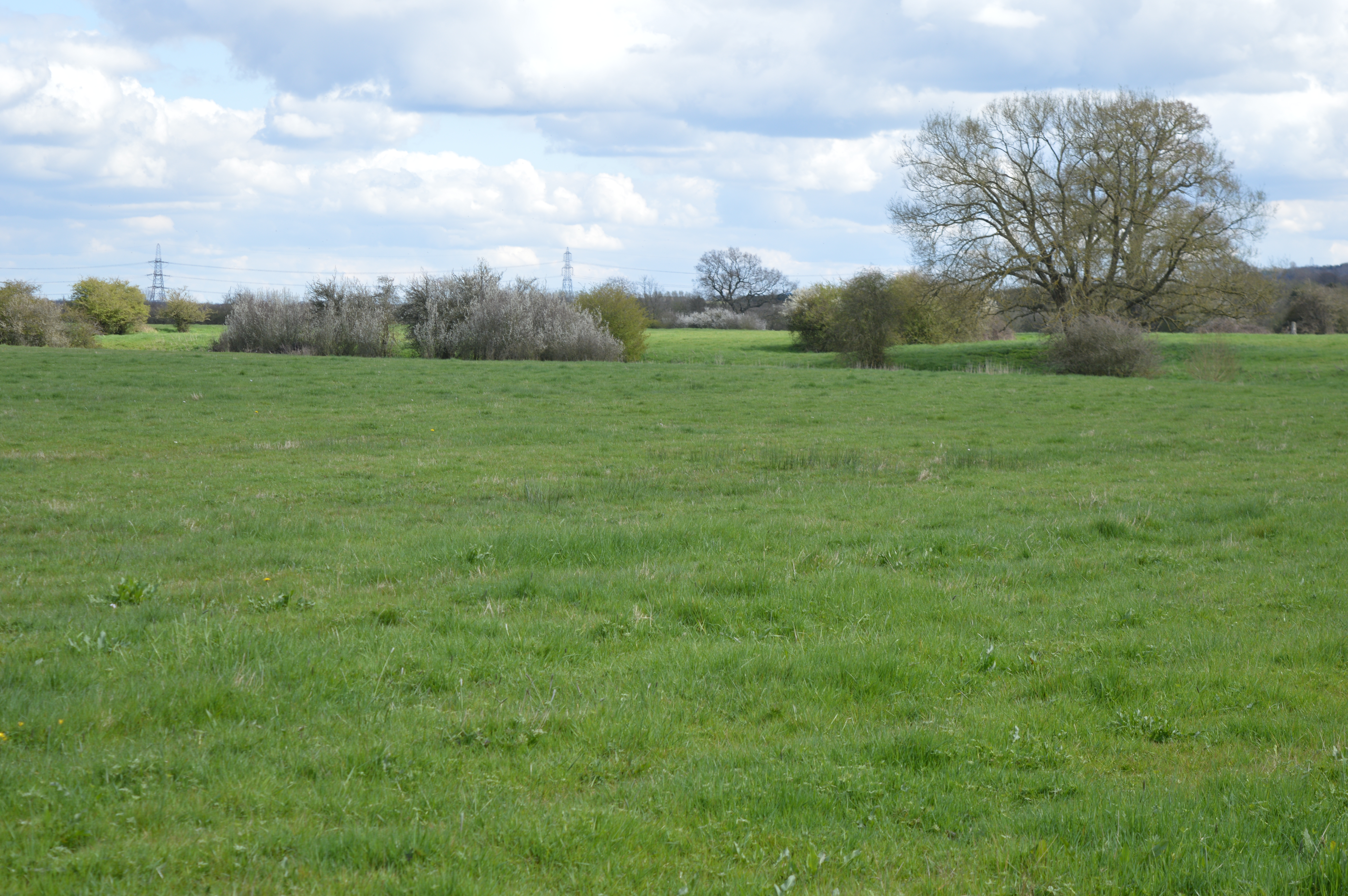
Arncott Hill is a prominent geographical feature located in Oxfordshire, England. Situated near the village of Arncott, it is a small hill that offers breathtaking panoramic views of the surrounding countryside. With an elevation of approximately 100 meters (328 feet), it stands as a prominent landmark in the region.
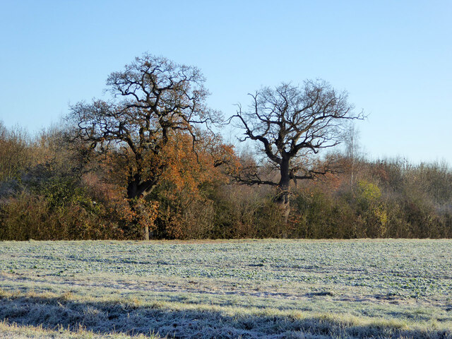
The hill is covered with lush greenery, consisting of a mix of grasslands and patches of woodland. This diverse vegetation provides a habitat for various plant and animal species, making it a popular destination for nature enthusiasts. The hill is home to a wide range of wildlife, including rabbits, foxes, and numerous bird species.
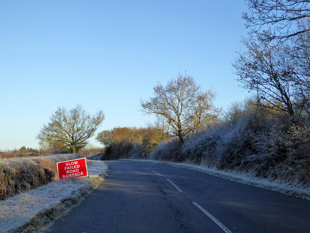
Arncott Hill is easily accessible and has become a popular spot for outdoor activities such as hiking, walking, and picnicking. Several well-marked trails traverse the hill, allowing visitors to explore its natural beauty at their own pace. The hill also offers stunning views of the nearby Otmoor RSPB Nature Reserve, a protected area known for its wetlands and bird populations.
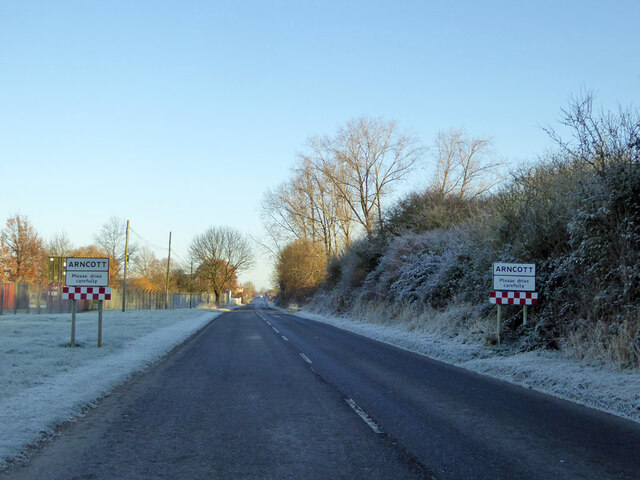
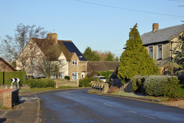
The hill's location makes it an ideal vantage point to observe the surrounding countryside, including the picturesque village of Arncott and the rolling hills of Oxfordshire. Additionally, during clear weather conditions, visitors can catch glimpses of the iconic Oxford skyline in the distance.
Arncott Hill is not only a place of natural beauty but also holds historical significance. It is believed to have been used as a strategic vantage point during various battles and conflicts throughout history. Today, it stands as a testament to the region's rich heritage and offers a tranquil escape for locals and tourists alike.
If you have any feedback on the listing, please let us know in the comments section below.
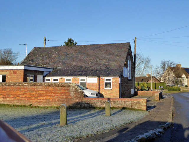
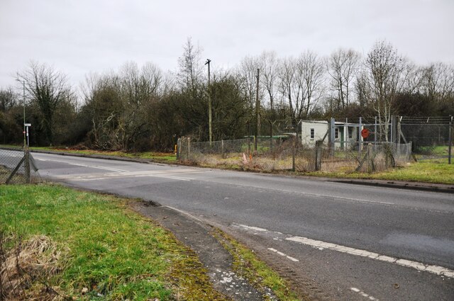
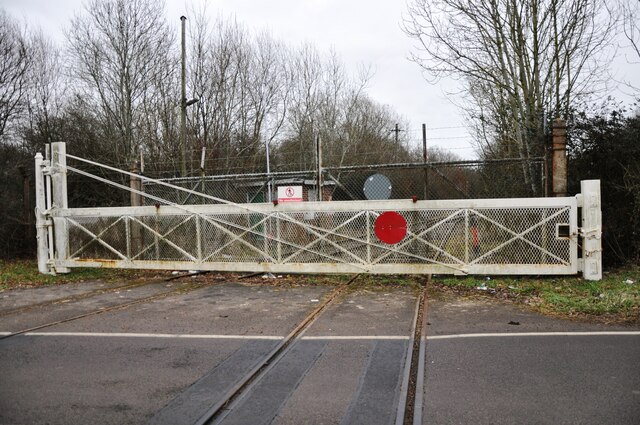
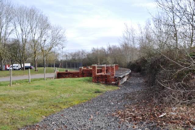
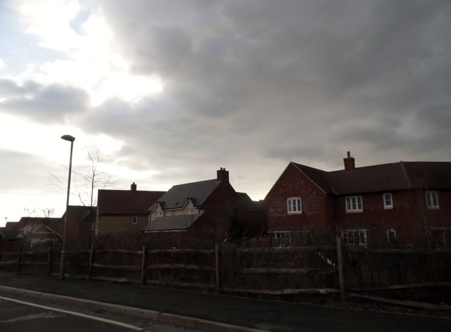
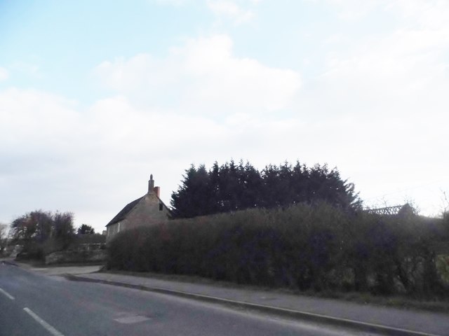
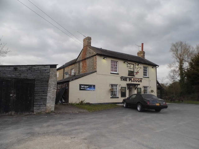
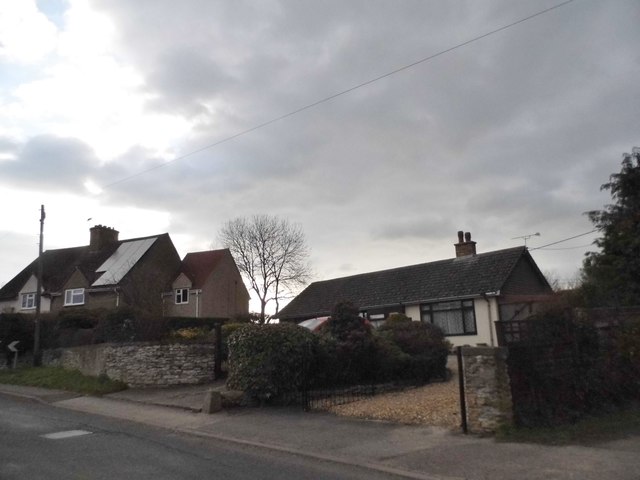
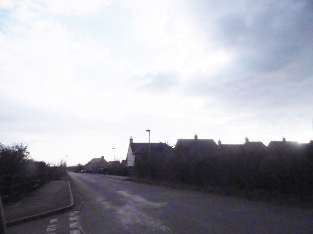
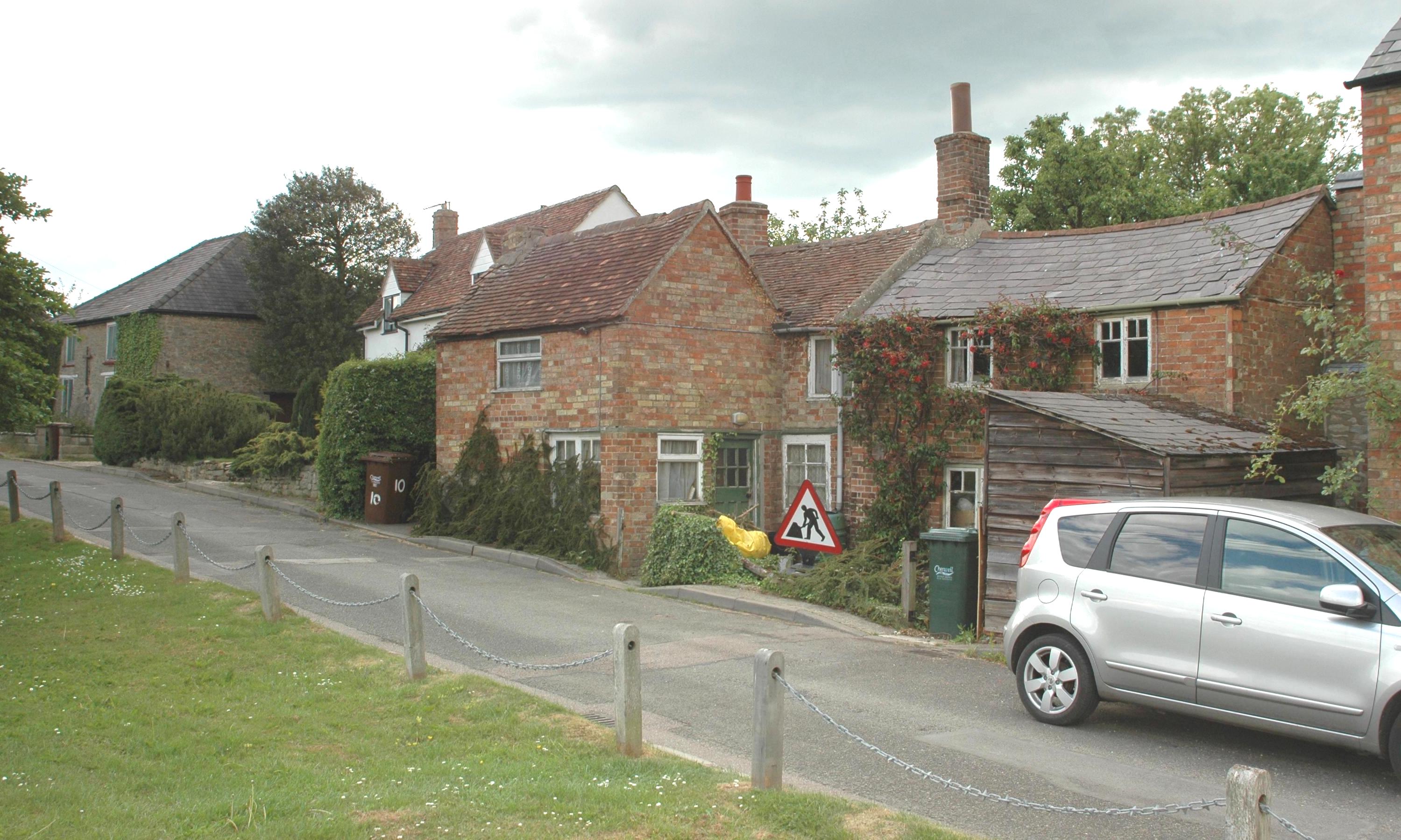
Arncott Hill Images
Images are sourced within 2km of 51.849624/-1.106668 or Grid Reference SP6117. Thanks to Geograph Open Source API. All images are credited.
Arncott Hill is located at Grid Ref: SP6117 (Lat: 51.849624, Lng: -1.106668)
Administrative County: Oxfordshire
District: Cherwell
Police Authority: Thames Valley
What 3 Words
///cement.cookbooks.example. Near Ambrosden, Oxfordshire
Nearby Locations
Related Wikis
Arncott
Arncott or Arncot is a village and civil parish about 3+1⁄2 miles (5.6 km) southeast of Bicester in Oxfordshire. The 2011 Census recorded the parish's...
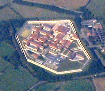
HM Prison Bullingdon
HM Prison and Young Offenders Institute Bullingdon is a prison in Oxfordshire, England. It is a public sector prison operated by HM Prison and Probation...
Arncott Bridge Meadows
Arncott Bridge Meadows is an 8.7-hectare (21-acre) biological Site of Special Scientific Interest in Arncott in Oxfordshire.The site is adjacent to the...
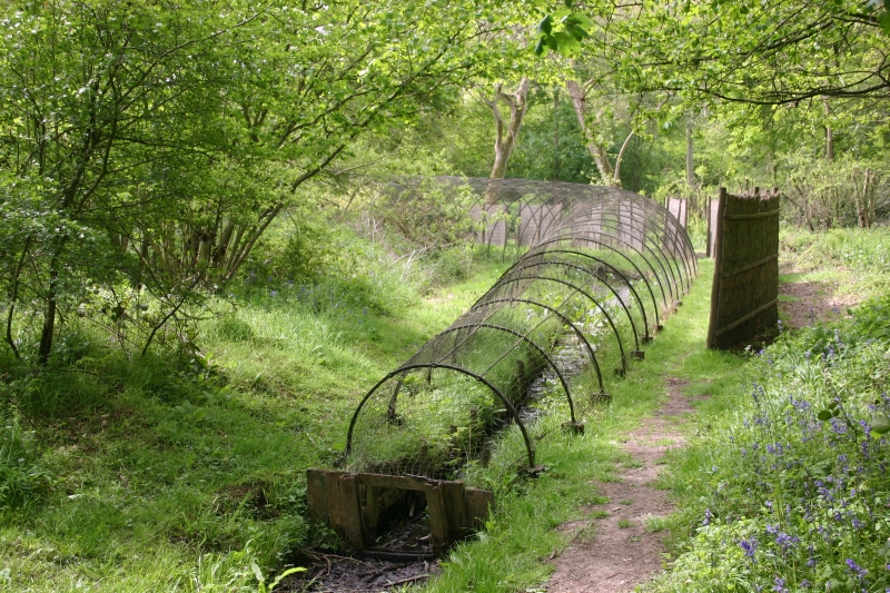
Boarstall Duck Decoy
The Boarstall Duck Decoy is a 17th-century duck decoy located in Boarstall, Buckinghamshire, England, and now a National Trust property. The system took...
Blackthorn, Oxfordshire
Blackthorn is a village and civil parish in the Cherwell District of Oxfordshire about 3 miles (5 km) southeast of Bicester. The parish is bounded by the...

Piddington, Oxfordshire
Piddington is a village and civil parish about 4.5 miles (7 km) southeast of Bicester in Oxfordshire, England. It lies close to the border with Buckinghamshire...

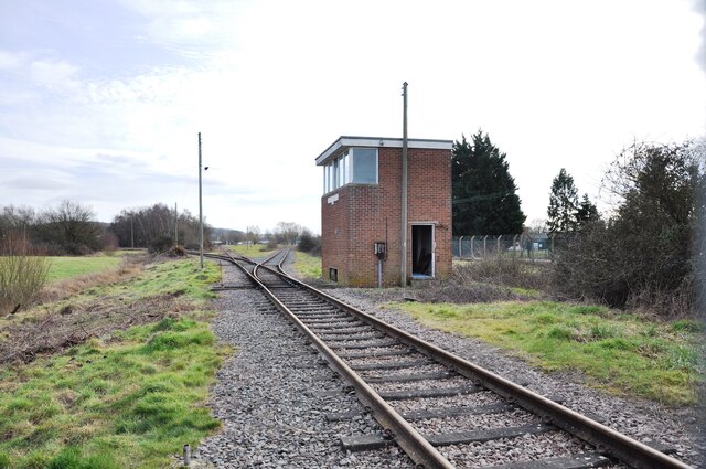
Bicester Military Railway
The Bicester Military Railway (BMR) is a railway in Oxfordshire, England belonging to the Ministry of Defence. It links military depots at Piddington,...

Muswell Hill, Buckinghamshire
Muswell Hill is a 0.2-hectare (0.49-acre) geological Site of Special Scientific Interest north-west of Brill in Buckinghamshire. The local planning authorities...
Nearby Amenities
Located within 500m of 51.849624,-1.106668Have you been to Arncott Hill?
Leave your review of Arncott Hill below (or comments, questions and feedback).